Journal

The Pemi Loop
Possibly one of my favourite trails that I have had the pleasure to run along in the US so far. Sitting in the White Mountains and not far from Mt Washington this perfect loop is an epic challenge whether you run or hike. Sitting at 29 miles (47 km’s) and with almost 10,000ft (3,000m) of ascent including eight of the New Hampshire 48er’s above 4,000ft.

The Pemi Loop
After the Press Traverse we had a pretty casual day recovering with a mixture of good food, a couple of beers at Schillings Brewery in Littleton (link to the brewery is here, it was definitely a worthwhile stop!!) as well as a short run along a river for an evening dip. Once back at the house we spent a happy evening with our supplies spread out across the floor as we worked through all the bits of kit, food and water that we would need over the 10 - 15 hours that it might take to cover the 29 miles. The normal guide is that the hike should take 20 hours normally split over 2 to 4 days where as the fastest time currently sits at 5 hrs 27 mins, there are now records for double pemi loops, super pemi’s and completing 14 of the 4000er’s via the pemi loop. If you are interested check the records out on the link Pemi FKT.
After yet more food and an early ish night was in order for the early start the following morning.
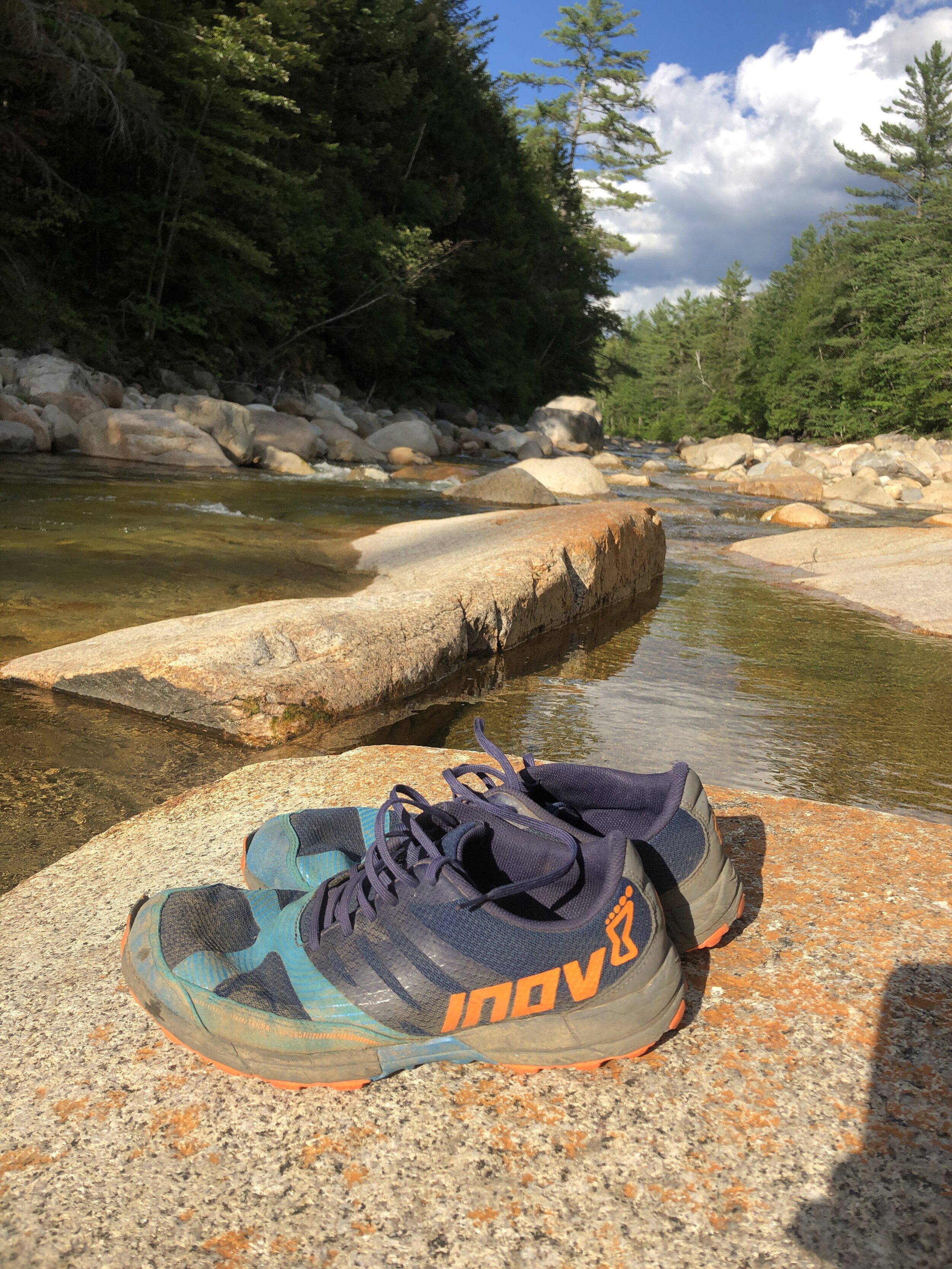
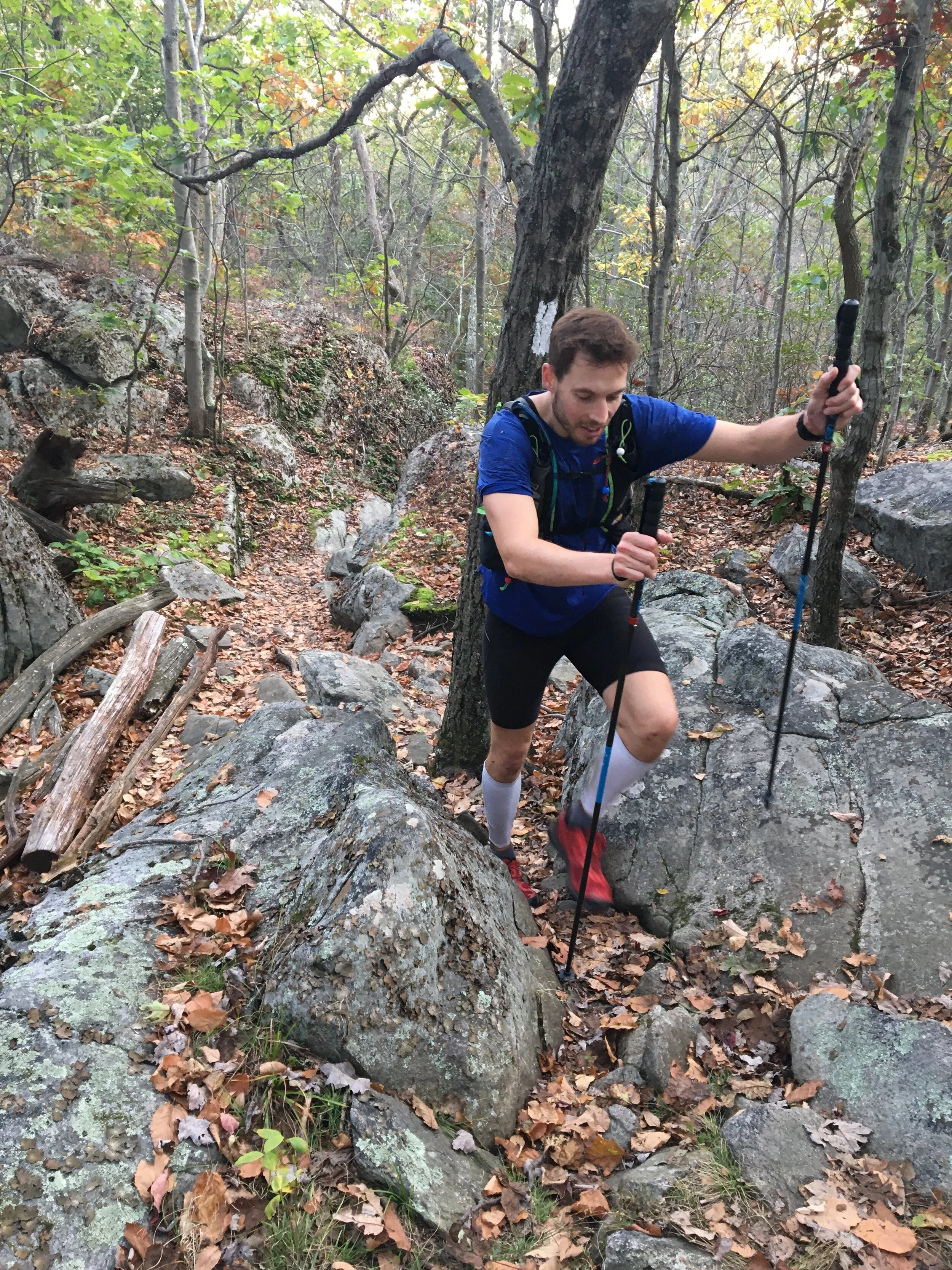
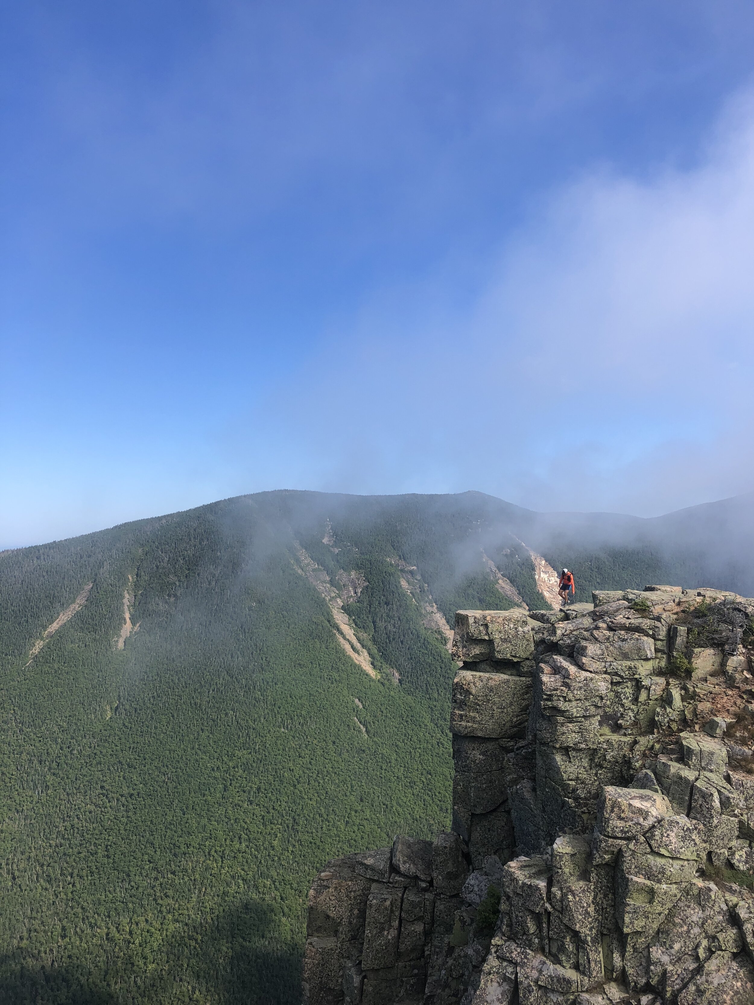
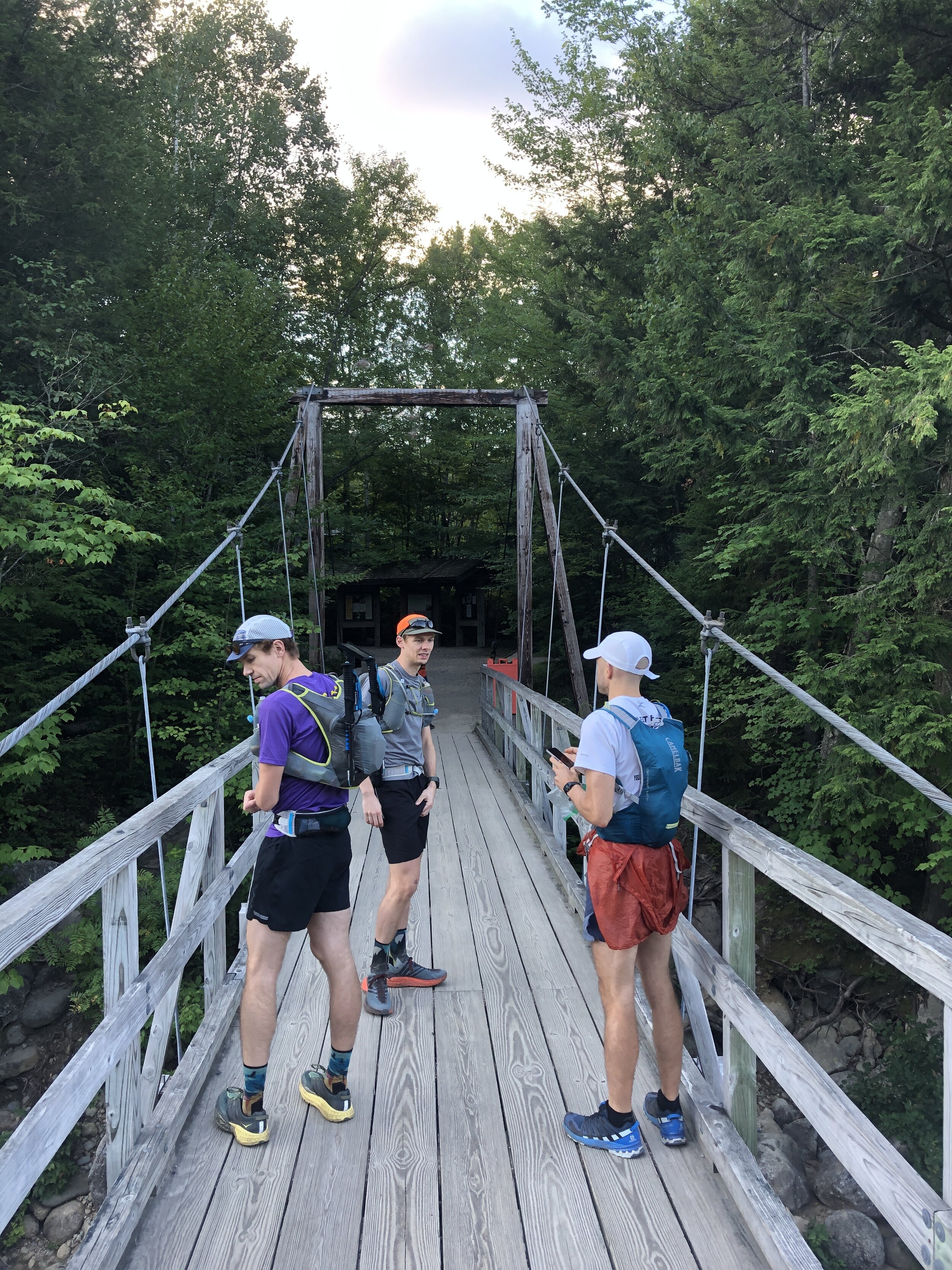
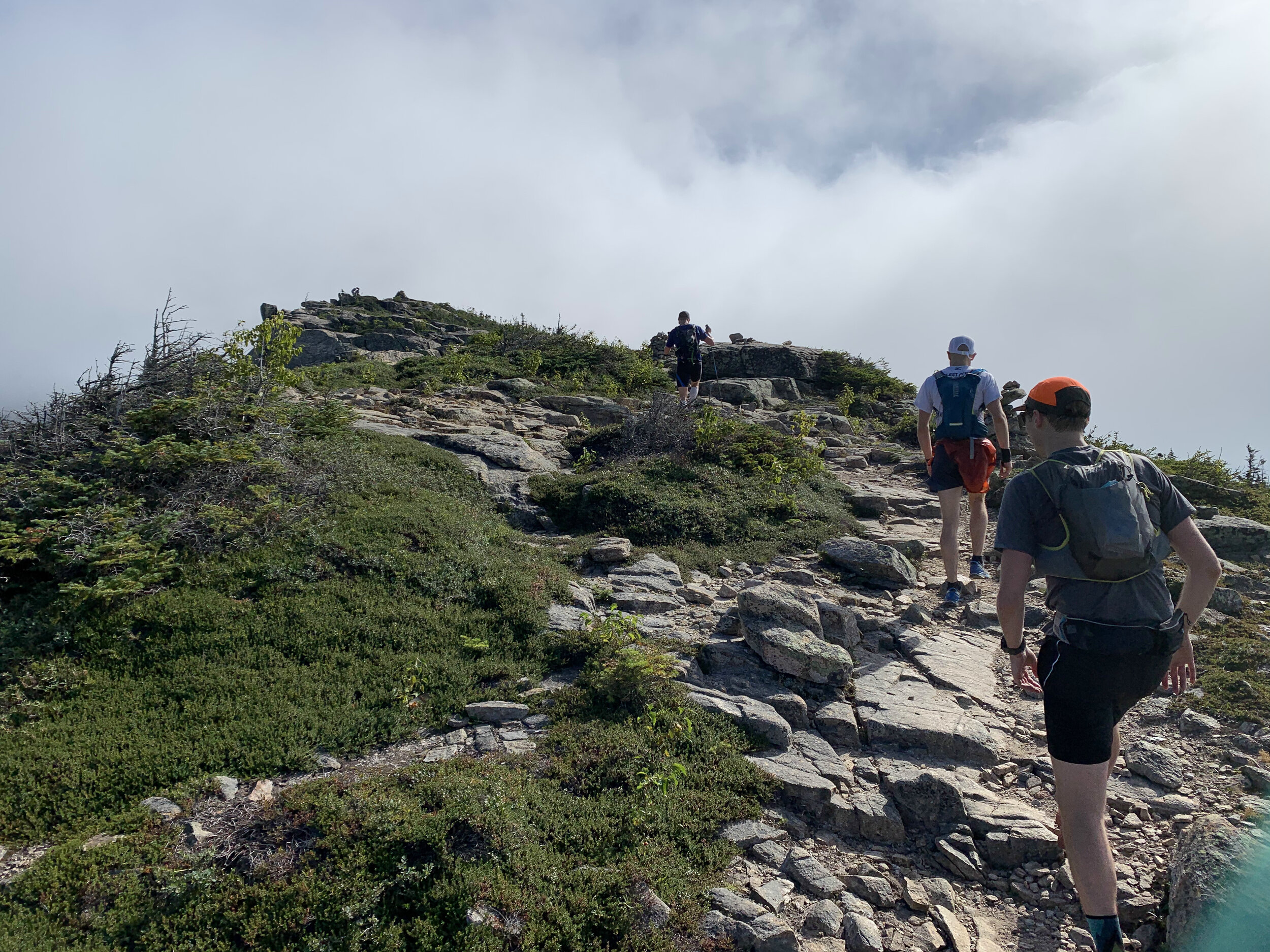
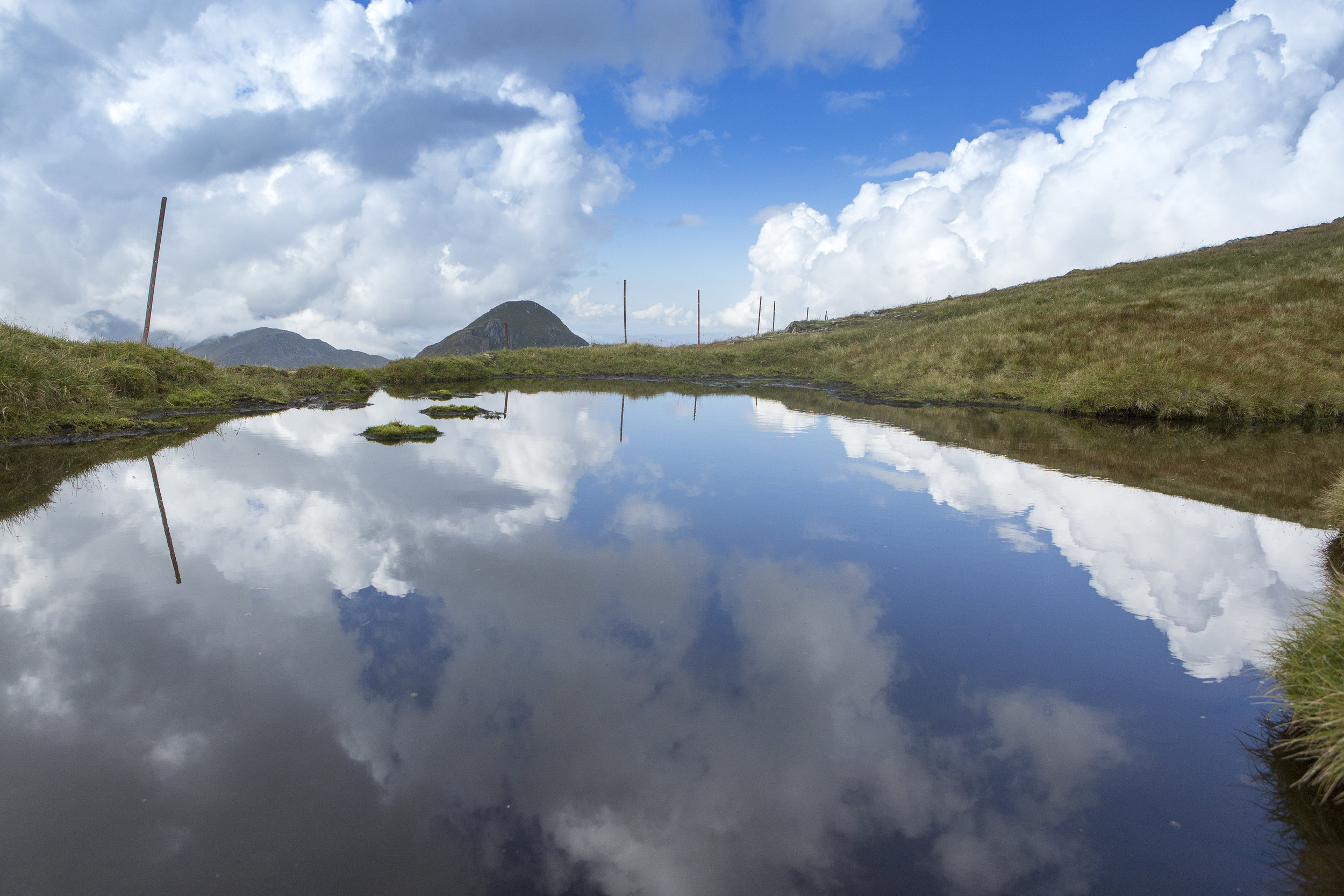
The plan was to reach the trail head around 7 am with us trying to maximise the amount of daylight on the trail. The first difficulty of the day was finding parking as despite our early arrival all the spaces were already filled along with a significant amount of parking going on up the main road. After a walk to the starting area we arrived at the bridge that marked the start of the trail, we took a few pictures before heading on up the trail. We were doing the route in reverse as we wanted to run what we thought to be the more challenging section out the way first. First up was a few miles of no climbing where we made quick progress dodging between groups headed along the pine covered trail, the scent of pine trees in the crisp morning air. The slightly bouncy surface felt like we could run for days on. The climb came to a rather abrupt beginning with a steep and rocky climb up into the mountains. Making progress bit by bit up the mountain towards the first summit of Bond Cliff standing at 4265ft ( 1300m) followed shortly afterwards by Mount Bond 4698ft (1432m). We arrived above the tree line to incredible views, blue skies and wispy clouds drifting over the summits. The views were mind blowing. One of our group made his way towards a cliff edge to check out the climbing potential. Some slightly wobbly runners legs making him think otherwise about going too close to the edge. First summit down and onto the next.

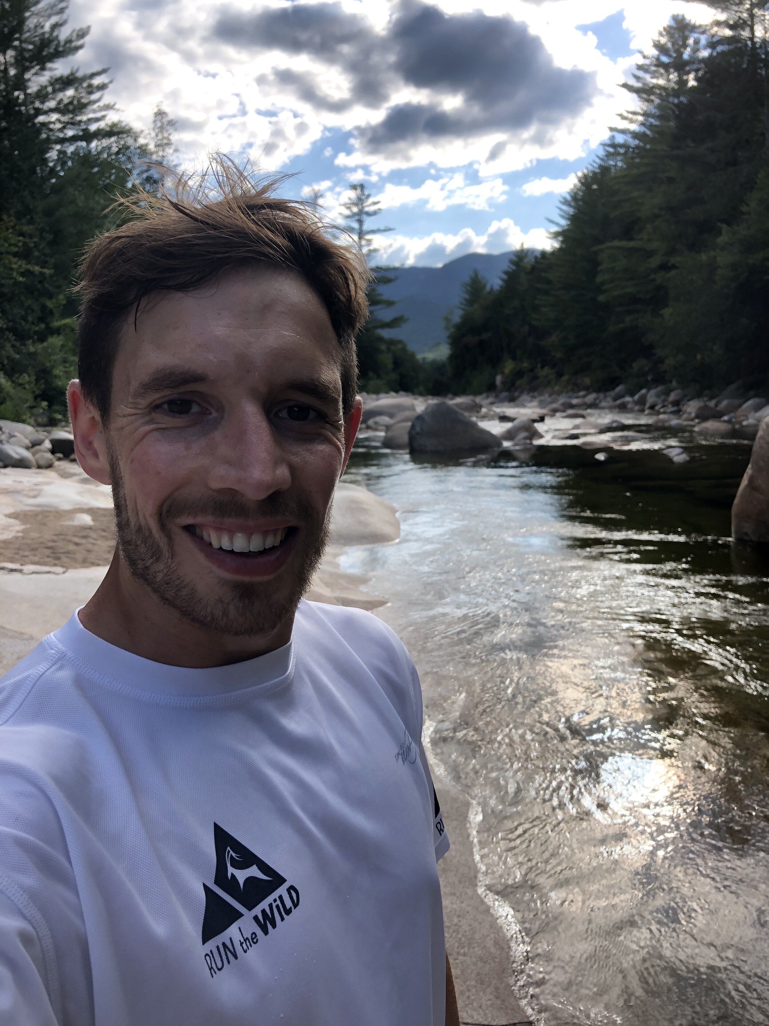
Our Start Line
History: Mount Bond (part of the trio of Bondcliff, West Bond and Mount Bound all of which are official 4000 footers) was named after Professor George Bond from Harvard University an astronomer who in 19th Century suggest the use of photography to measure a stars magnitude. He also surveyed the White Mountains.
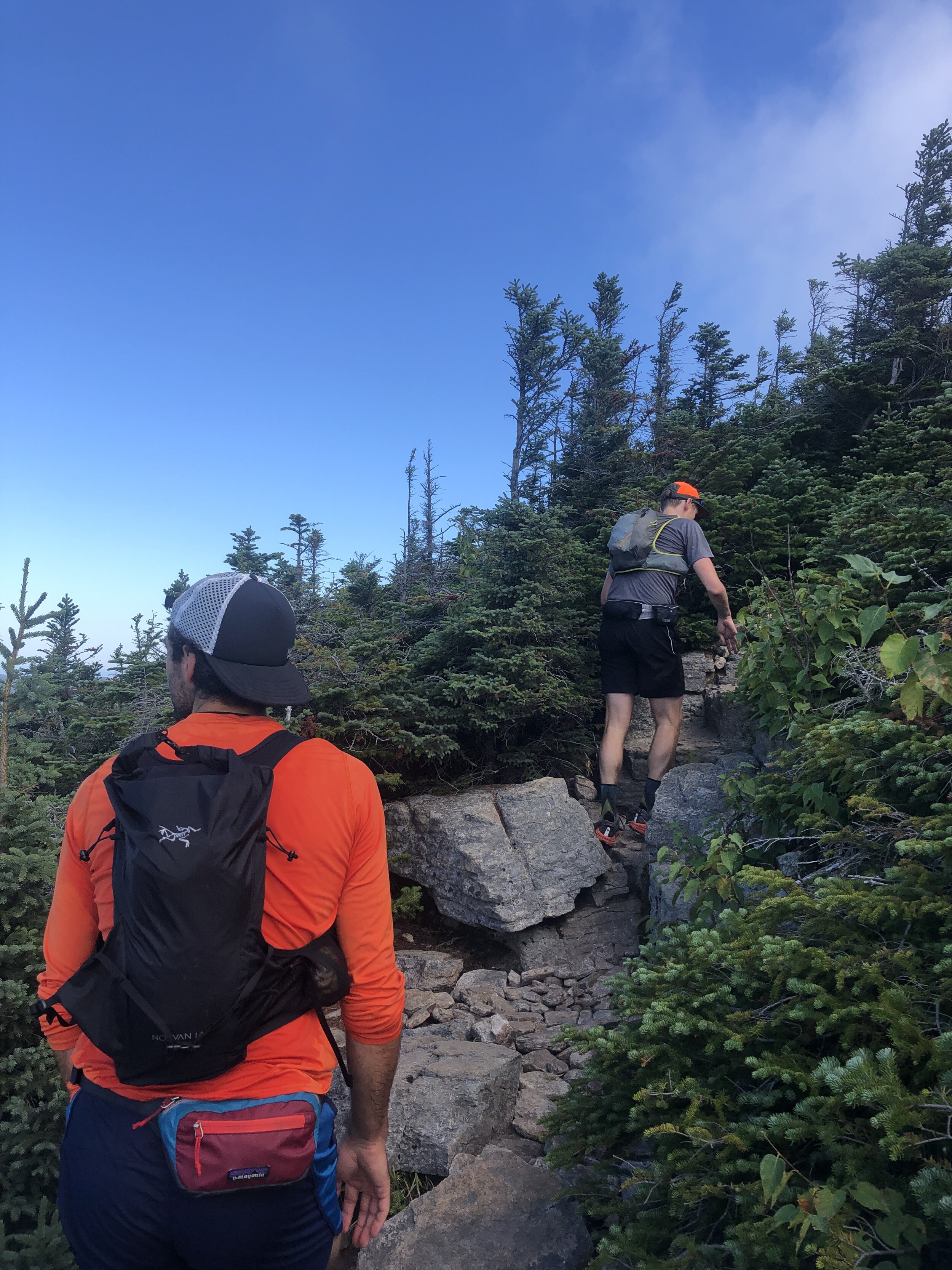
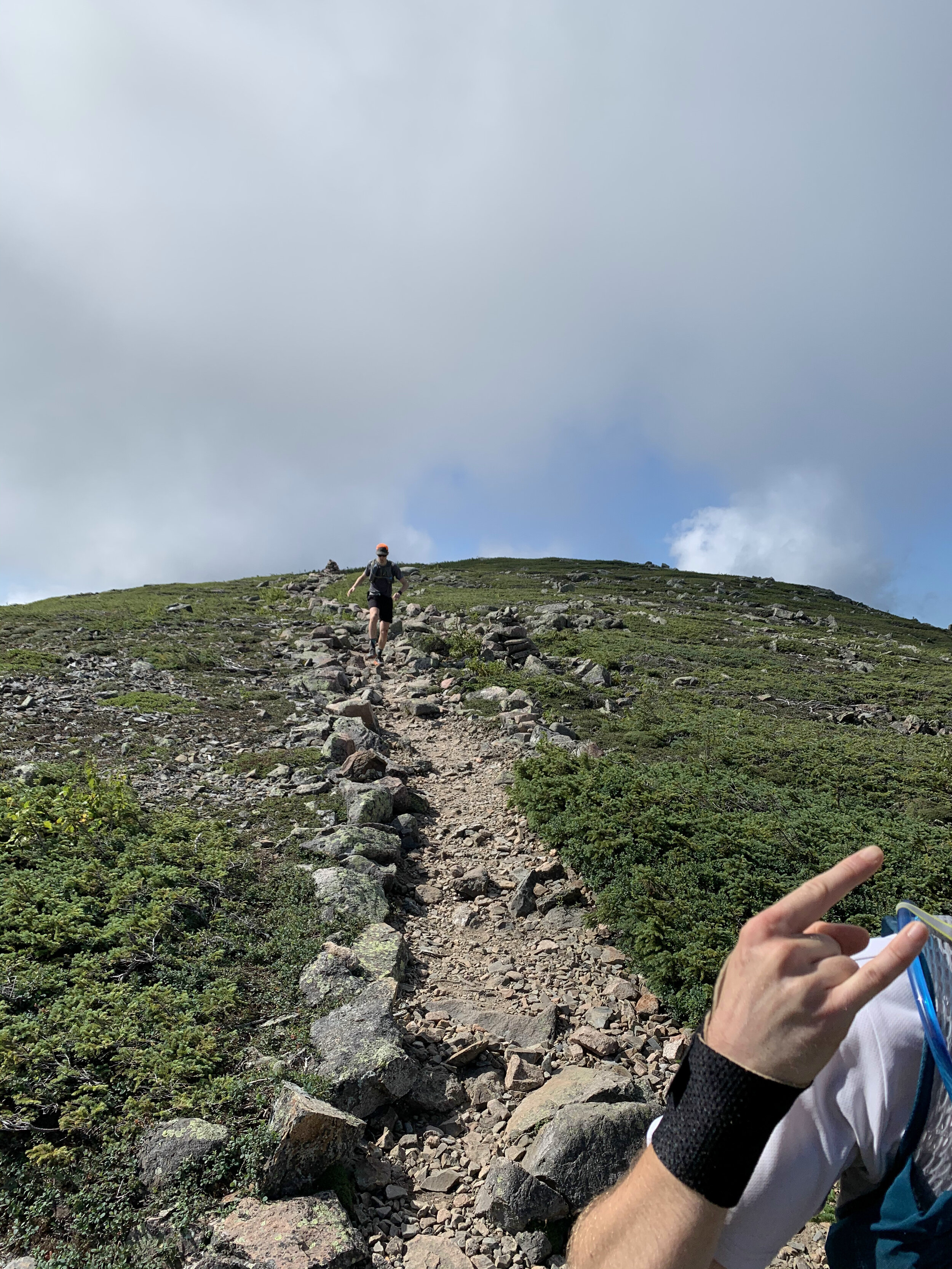
In comparison to the presidential traverse the trail was a beautifully carved out trail at this stage in the journey we moved along at a good pace as a group following the ridge line round the rim of this huge bowl all the while being able to see our final peak of the day. I have historically not enjoyed seeing the finishing point of a run but the spectacular views more than made up for the fact that the final summit teased us with our progress. Our pace ebbed and flowed with the difficulty of the terrain. The route skirted round Mount Guyot 4580ft (1396m), there was a bit of me that wanted to add these additional peaks onto the route for the day, I have since learnt about routes such as the super pemi that do. A tempting challenge for 2021.
History: The mountain is named after Professor H. Guyot from Princeton University who was a geologist and geographer. The mountain is not an official 4000 footer due to its height above the col to South Twin Mountain.
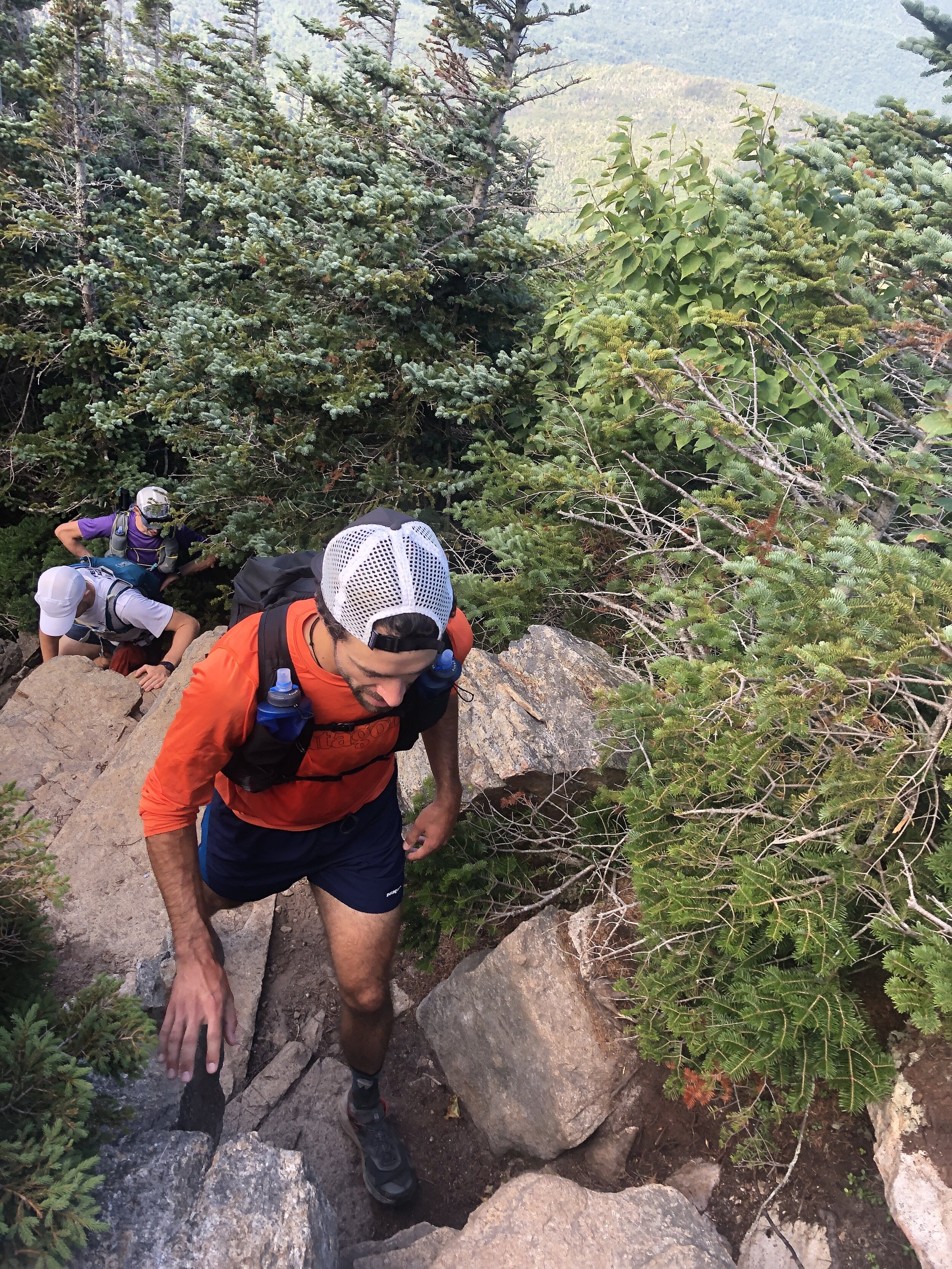
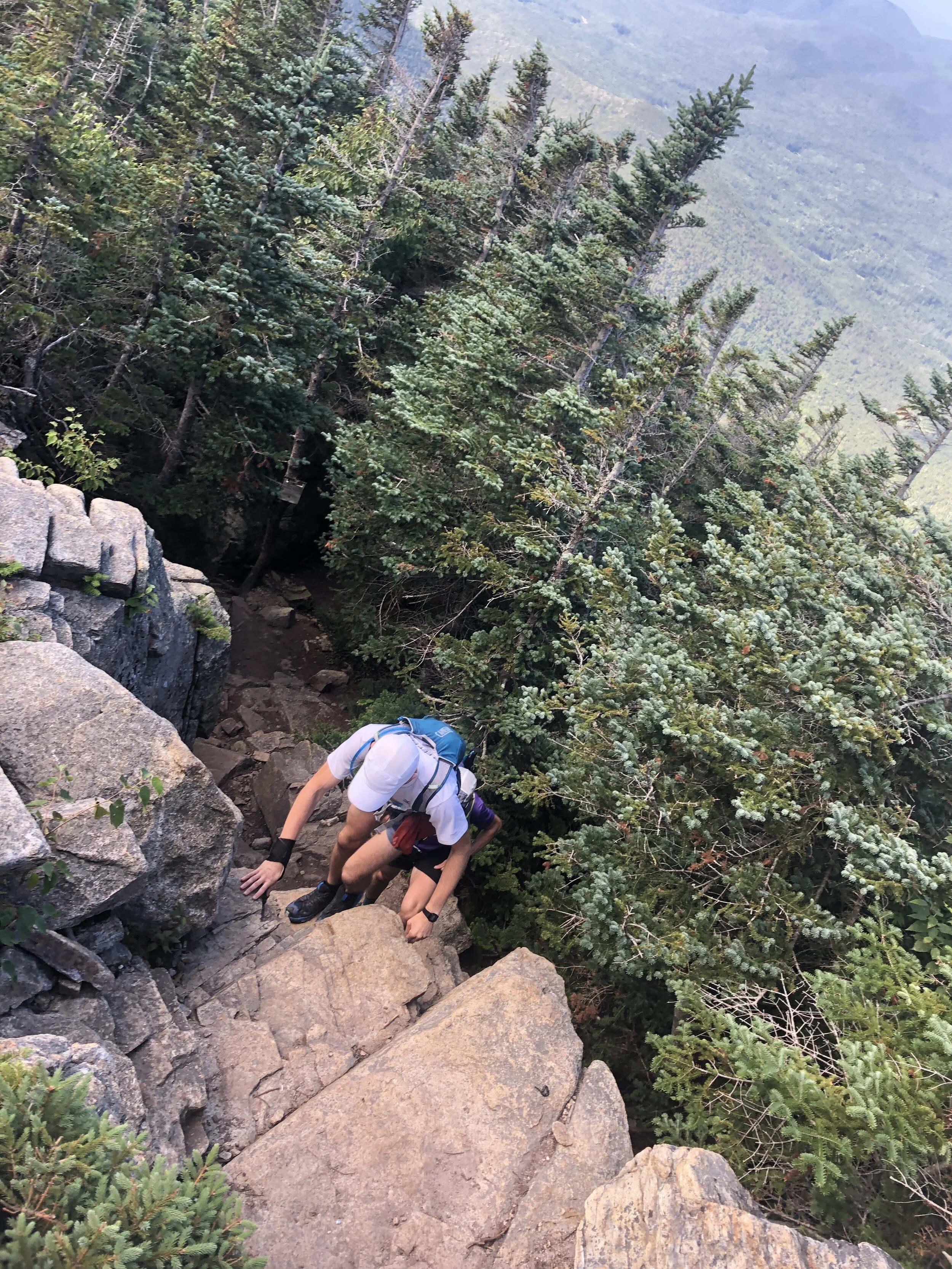
The next section was the make or break for the day with the route becoming more and more technical all the way to South Twin Mountain. Our pace slowed as we tried to be as delicate as possible hoping between rocks and roots. We started coming across more people who had been camping over night and beginning to make their way round the remainder of the trail. The thought of carrying a large pack on some of the terrain made me appreciate the light and fast approach we had taken. We were still making good progress and I was feeling really good despite having run the Presidential Traverse a couple of days before (you can read about that on this link ). We were also running as a larger group which made for a great run and at least for this first half everyone seemed to be happy with the speed and approach to sticking together.
We reached the summit of South Twin Mountain 4902ft (1494m) but given the length of the day we didn’t pause for long and made the dash towards Gale Head hut.
Quick fact: South Twin Mountain sits on part of the Appalachian Trail that runs 2,170 miles from Georgia to Maine. I still have no idea how the likes of Karel Sabbe, Scott Jurek, Karl Meltzer, Joe McConaughy and Jennifer Pharr-Davis completed the route in under 50 days. Mind blowing the speed and endurance these athletes have.
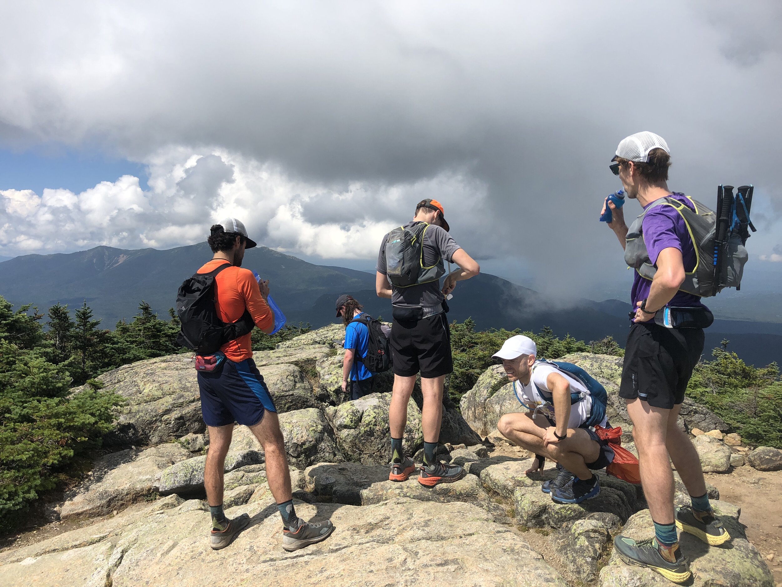
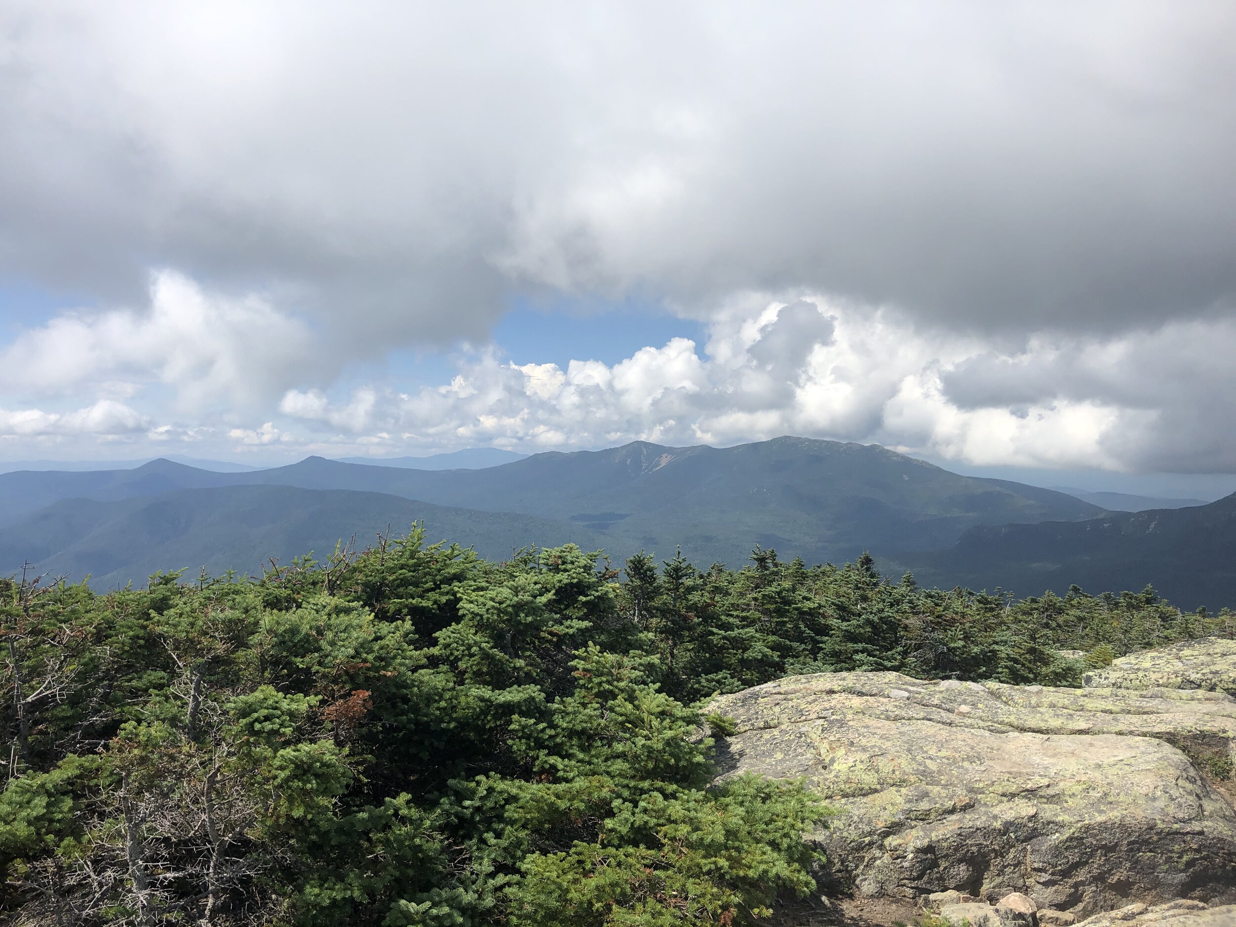
After this summit the route dropped down considerably towards the hut marking our midway point, it was here that the rocks and rugged terrain really took a bit of a toll on the team. I used the last of my water coming into the Gale head hut, perfect timing. We paused here surrounded by other runners and hikers topping up on food and water. Greg grabbed a burrito, I grabbed a brownie for the trail. Meanwhile some of the guys were patching up their feet for the second stage of our run. The sun was out and beamed down on us all as we sat soaking in the rays. It was time to head on and make the most the the day light as we all wanted to minimise risk of spending any time running in the dark. It was this second section where the groups pace differed a little and we naturally broke into two groups as the trail meandered up and down towards the next summit of Mount Garfield 4413 ft (1345m). It was here that the weather started to turn with clouds beginning to build all around us. We had been incredibly lucky with the weather so far on this trip and I was wondering what would be more pleasant sunshine or a touch of rain to cool us down as we ran along. I should have spent my time wishing for the sunshine!
Summit number four complete and now it was time to head onto Mount Lafayette 5249 ft (1600 m). It was here that the number of people out on the trail started to increase and the weather began to really turn. Clouds started to lower over the summits covering them in a veil and as we made our way up a number of false summits the wind and rain started to pick up. Donning jackets to stay slightly warmer, we made our way carefully up the rocky mountain. Behind and below us we were trying to pick out the coloured jackets from Andy and Greg but we couldn’t make them out and in the cold, wet weather we made the decision to continue a head on to stay as warm as possible. Making the summit and there were crowds of people, despite the relatively quite trails to this point the numbers of people were incredible as was the fact that many had minimal gear to deal with the now very different conditions to the beginning of the day.
History fact: Mt Lafayette is named after General Lafayette a french military hero who fought during the American Revolutionary war and was an aide to George Washington.
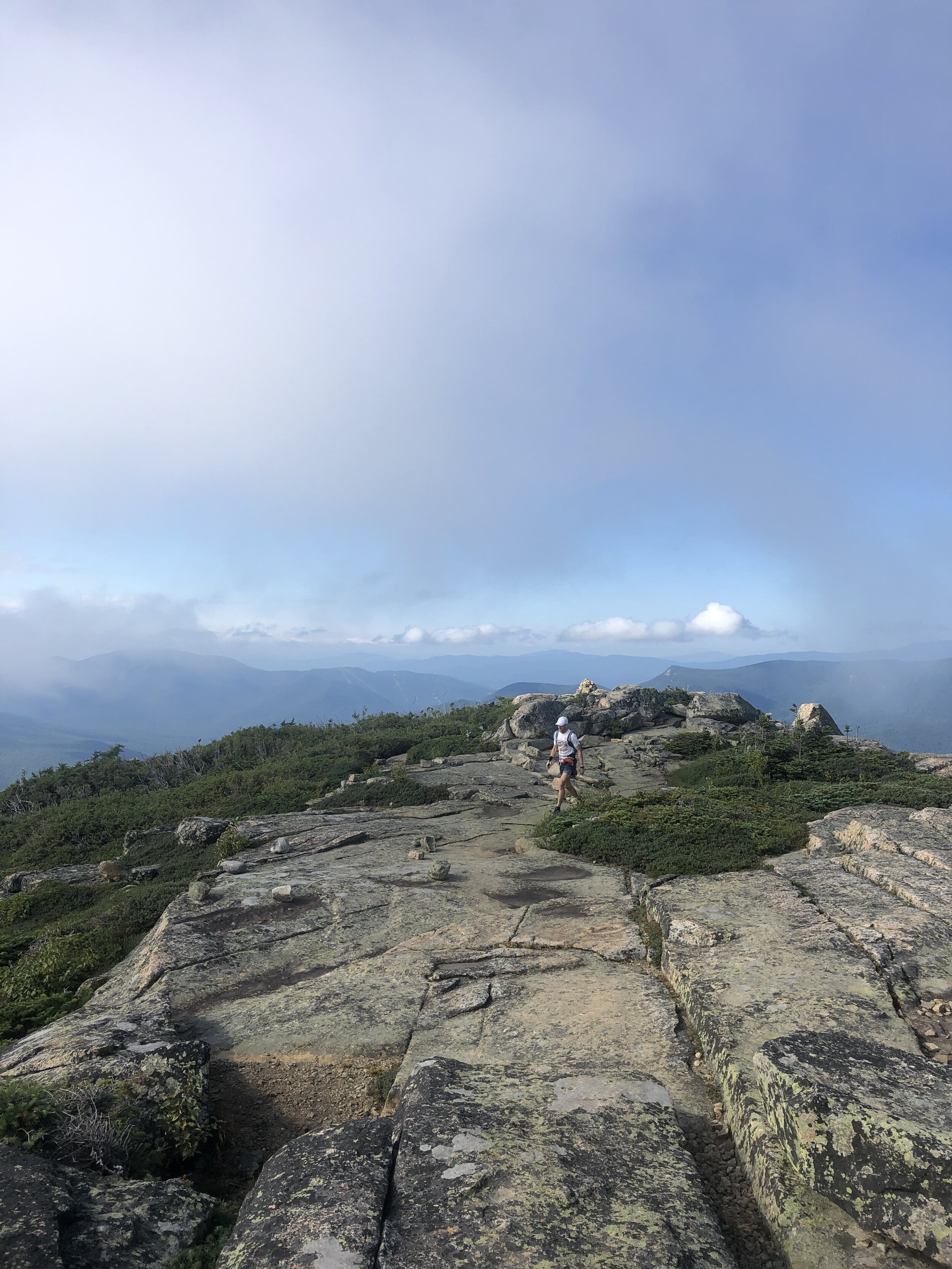
Next up was 3 rolling summits North Lincoln, Mount Lincoln and little Haystack Mountain, the three of us making good progress along the trail. And as the rain and wind started to albeit I could remove my jacket. All that remained was the final 2 peaks of the day. Mount liberty and Mount flume. We passed a few other runners along the way and as we arrived at the top of Mount Flume another group kindly took some photos of us before the descent to the finish.

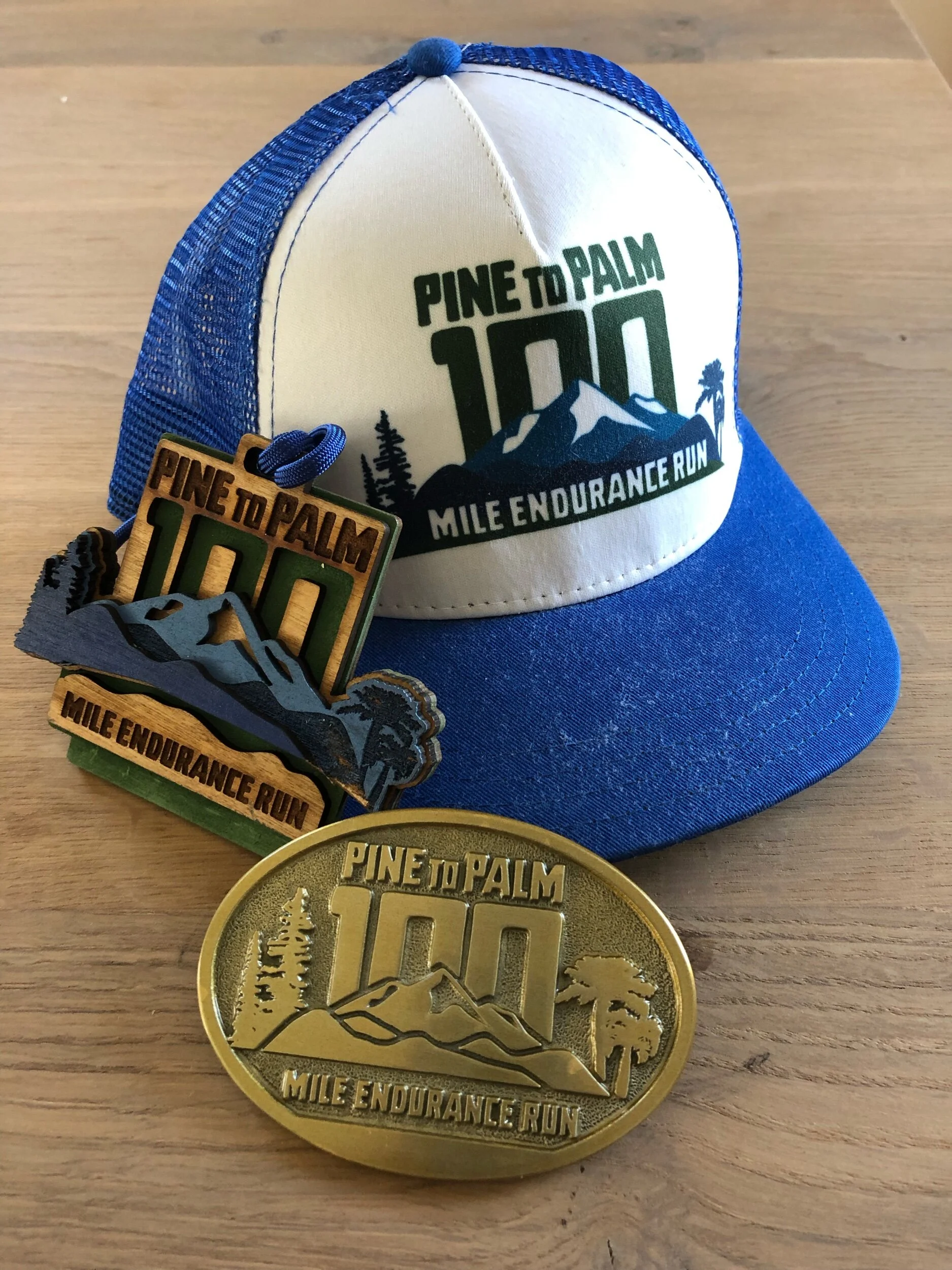
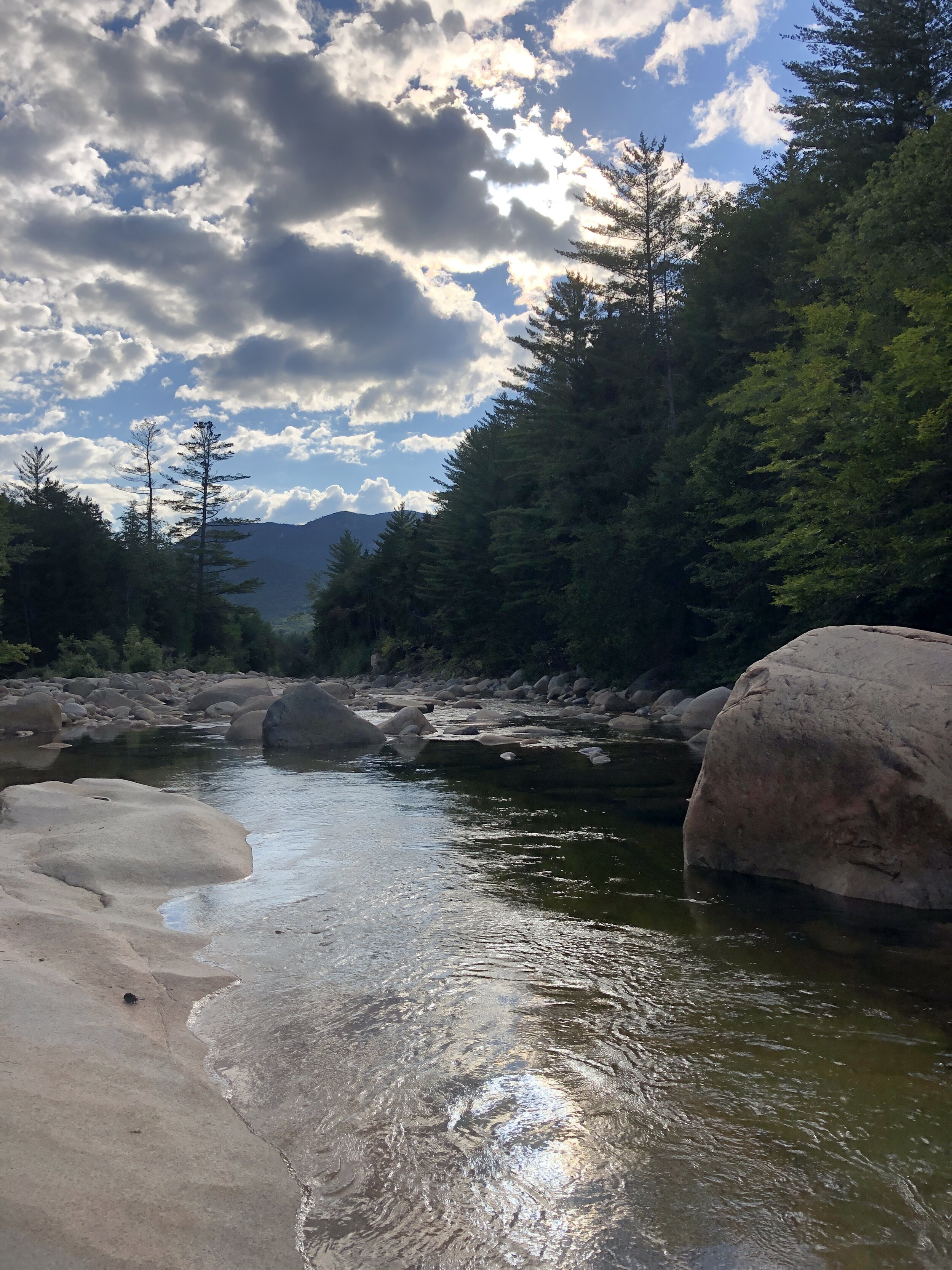
The final descent was certainly one of the highlights of the day. The trail for the most part felt like a perfectly designed trail carved for us down the mountain, our speed began to naturally pick up on the way down as we inched our way to the finish. Ever expecting the terrain to suddenly change and hamper our progress. Instead the trail became better and better all the way down. Broken up occasionally by some incredibly crafted wooden steps that covered the more challenging sections. The trail soon became a hard packed trail more similar to the one I experienced on the Pine to Palm last year (you can read about that experience here). The final couple of miles were pure elation running freely down the pine tree trails and then onto the hard packed route we initially ran on at the beginning towards the bridge and our finish line. Our pace kicking up a couple of notches for an almost sprint finish. Touching the bridge we had done it (watches stopped to capture the all important finishing time, as they say if its not on strava it didn’t happen….). All that was left was for us to bask in our glory whilst drinking a beer and soaking in the nearby stream.
Stats for the long weekend:
Days: 3
Distance covered: 56 miles
ascent: 20,000ft
NH 4000 footers completed: 16

Munro Bagging
c43a1977
We started the week with an ambitious plan of routes, with the aim of bagging as many munro's as we could whilst meandering our way through the Scottish highlands. We had slight trepidation with the weather set to change for the worst. After a couple of weeks of good weather and the bank holiday on the horizon it was a big ask for a further week of dry weather.
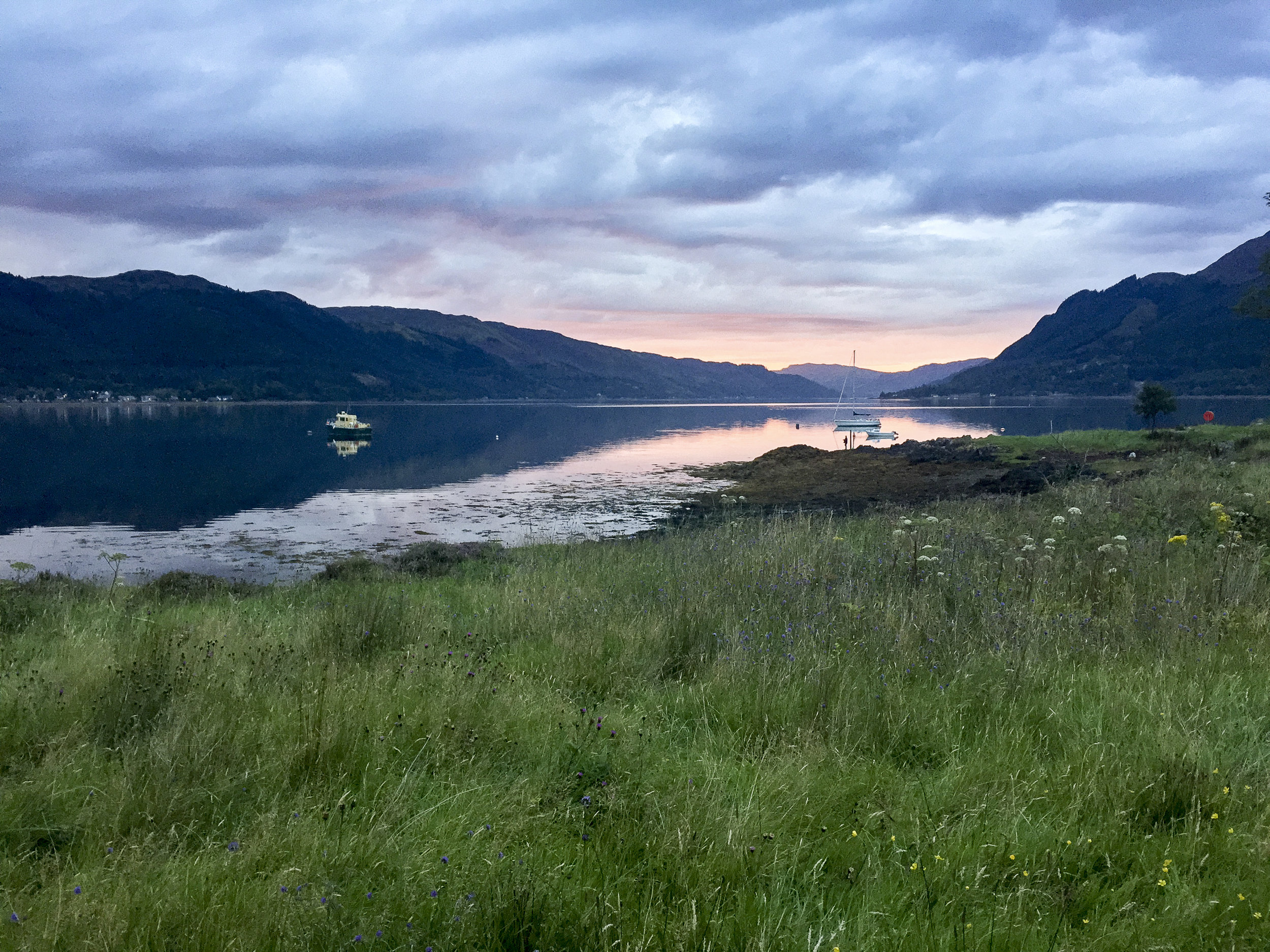
Setting off for the most northerly point on our quest in our trusty Landy towards Glen Shiel and the gateway to the Isle of Skye. Arriving to a glorious evening where we ate at the nearby pub over looking Loch Duich before preparing for the next days long outing.
IMG_4772.jpg
We woke the next morning to an autumnal feel. Dew glistened on the grass and leaves whilst the colours looked like they were changing to slight hues of reds, oranges and yellows. It was looking to be a perfect day for a walk. Arriving at the start point we noticed a few other walkers covered from head to toe as if it was a freezing day. Getting out of the car we soon realised why they were covered as the Scottish midges were out and descended on us as fresh targets. I was nibbled within the few minutes I left my arms exposed.

IMG_4784.jpg
To escape the midges we quickly departed the car park and headed the meandering path towards the foot of the first munro. With hardly a breathe of wind we could hardly enjoy the view for a moment before they descended on us again, trying to nibble any exposed skin. The path began to zig zagging its way up onto the ridge line where we were to follow for the day.

DSC04715.jpg
Seven munro's stood before us on the South Glen Shiel ridge. Each hidden by the one before preventing us from seeing our finish point, which we were very thankful of in many ways. The day turned out to be a scorcher as our water began to run low and we certainly heated up. Each summit was a mixture of rounded tops to the odd scramble. Despite this we met a few other walkers including a group on very good form despite not liking the occasional element of exposure.

DSC04736.jpg

C43A1972.jpg

IMG_4788.jpg

DSC04719.jpg

DSC04708.jpg

C43A1975.jpg
After a day of relatively good weather the final summit clouded over. With the guide book advising on a more direct route down to the main road we made a bid in this direction and soon picked up the start of a rough path. This however disappeared clearly at a point where people either turned back or everyone took on the ethos of "everyone for themselves". Making our down steep boggy ground with no signs of it finishing. Until we came across a sheep track that meander alongside a beautiful stream where we could top up on some more water. Not without its challenges as the bottle top fell off and floated down stream before securing it with a walking pole before it descended the next small water fall. The final section finished with a small detour through woodland. Slipping and sliding our way down through the wet under growth before arriving at the road side. We had been joined by a couple from Edinburgh for the final descent who we had a quick celebration with before attempting to hitch hike back to the cars to finish the evening.

img_4797
The pint of coke in the bar never tasted so good.
7 munro's down:
Creag a' Mhaim,
Druim Shionnach
Anoach Air Chrith
Maol Chinn-dearg
Sgurr an Doire Leathain
Sgurr an Lochain
Creag nan Damh

Screen Shot 2017-02-04 at 22.25.40.png