Mt Mitchell - North Carolina

This was the first long holiday of the year and after much debate we had settled on exploring Asheville and the Black Mountain area in North Carolina. Renowned for outdoor activities and a lot of breweries! The first task was for a casual 11 hour drive down to the area from New Jersey. With a car full of people and kit. Loaded up with snacks for the drive we began making our way south.
One of the first spots we visited was a natural slide. Hidden in Pisgah National forest we braved the slightly cooler weather for the chance for a wild swim. By the time we got there their were only a few people milling about and sliding down the rock face into the plunge pool at the bottom. With it being the end of the season we had definitely avoided the crowds which you could imagine being the norm in the heat of the summer. After spending some time sliding down and hiking up it was time to head on back to our base for the next few days.

Sliding Rock
After checking out the weather that evening and various trails available we settled on heading up Mt Mitchell. Mt Mitchell itself was high on the wish list for our time there. Partly because its the highest peak east of the Mississippi and eastern North America (when you exclude some of the Arctic region) standing at 2,037m or 6,684 feet. Making it about 400ft taller than Mt Washington up in New Hampshire or roughly 2,200 feet taller than Ben Nevis in Scotland. The mountain and surrounding area have an interesting history as well. Originally the Cherokee tribe were one of the more prominent in the Black Mountain region until settlers took over the region. Since then it was first climbed by a French Botanist and Explore named Andre Michaux (who commenced quite a few expeditions from New Jersey & New York). Making a climb to the top all the more relevant having travelled from New Jersey albeit far easier to get there compared to his travels. A Professor from the University of North Carolina, Elisha Mitchell, explored and studied the height of the mountain before confirming it as the highest mountain in the East of the US. He later unfortunately went on to die on the mountain after an accident.

The trail up Mt Mitchell
In the 1940’s a road was created along a ridge that runs 469 miles between Virginia and North Carolina, with a stop off at the summit of Mt Mitchell, creating the Blue Ridge Parkway. However since then the environment has had a tough time. A mixture of effects have been damaging the eco system. From logging and fires through to foreign invading plants and animals. The more recent effect has been acid rain, which is still to this day severely affecting the forest and killing many of the trees. In 1993 it was declared an International Biosphere by UNESCO. Despite the challenges it still has a rich environment. Its not surprising that its one of the most visited national parks in the US. Due to its popularity there are a variety of options to reach the summit including a drive almost to the summit or horseback ride. We opted to hike from the base starting at the Black Mountain campsite.

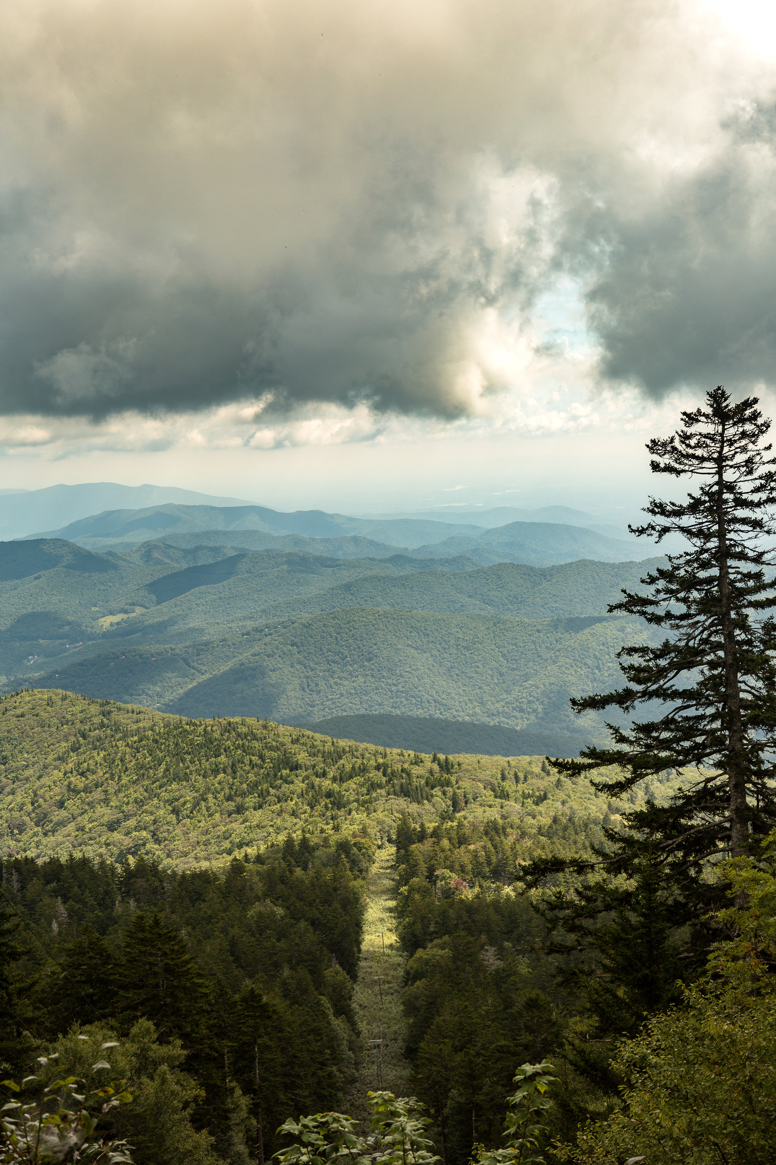
Blue Ridge Parkway meandering below us
The adventure started with the drive over there. Plugging the campsite in as the start point for our hike we soon found ourselves driving up a rough track road with ever tighter switch backs. Higher and higher we headed up the mountain. What we had not appreciated when going with the route the GPS suggested was that this would take us the off road route. It showed the importance of having a road map of the local area! It was quite the experience driving up with sheer drops to one side and some fairly impressive pot holes amongst other parts. It turned out the road should have already been closed for the season. We had managed to sneak through for a final ascent whilst they were conducting some maintenance. As we climbed our expected time of arrival got later and later. It felt like we had driven to the top of the mountain as we emerged onto the main and perfectly tarmacked road. Trying to find the second segment for the onward journey, which unfortunately had been closed for the season, we began searching for alternative routes. After trying a few different ones we were finally heading in the right direction on the only remaining route to get to the start of the trail head. The trail started from the Black Mountain camp ground. We soon enough arrived far later than expected but there nonetheless . The campground is tucked in beneath the mountain. Parking up we crossed over a bubbling river to get into the camp group which was filled with campers and surrounded by towering trees.
Some wooden signs directed us towards the start of the trail, with a fairly flat section to warm us up into the hike a head of us. This however did not last long. We soon found ourselves in amongst the trees and working our way up wards. The cooler weather making for some perfect conditions for hiking.
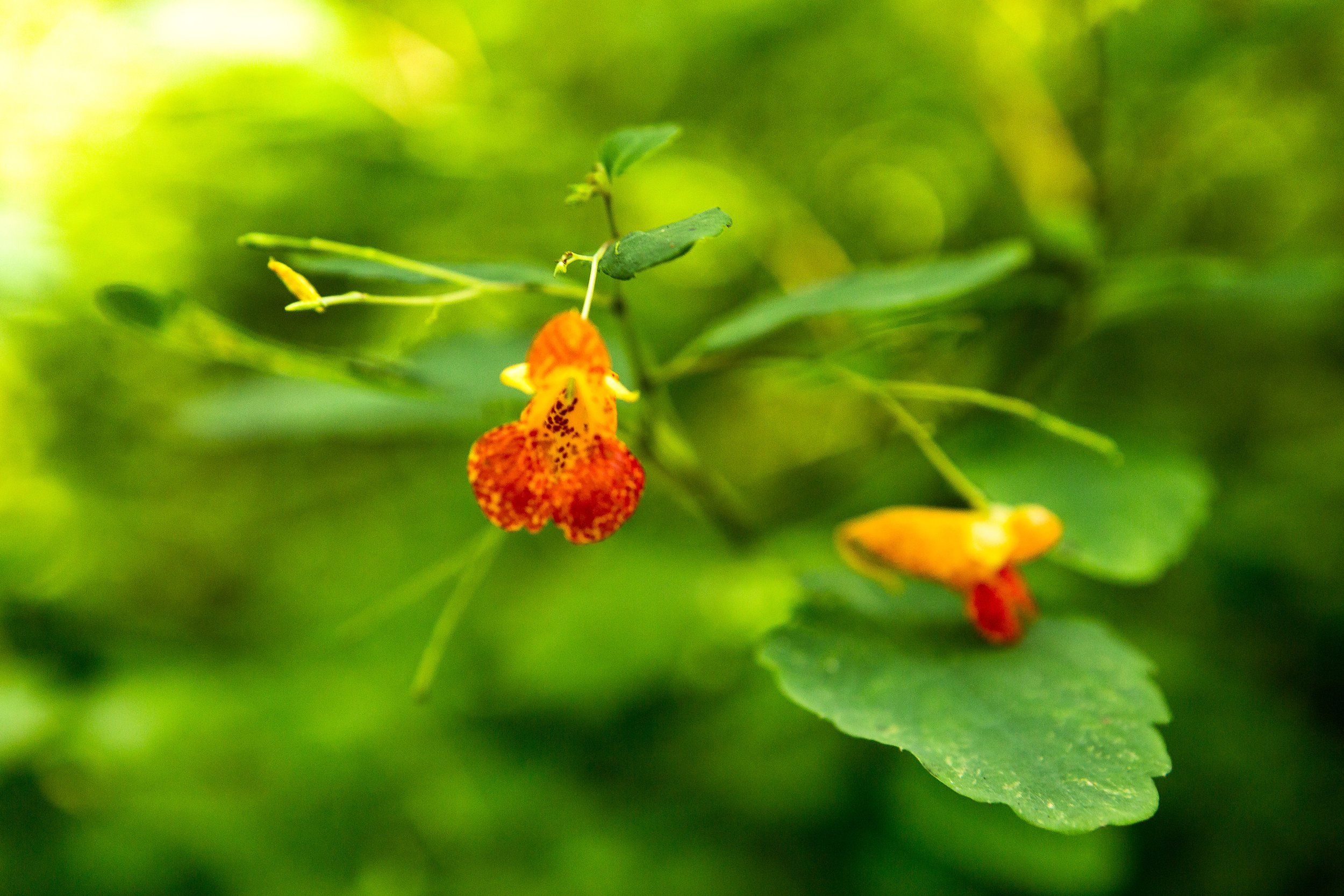
One of the plants of interest for the day was poison ivy having spoken to a few people about the various poisonous plants in the US. We had spent some time over breakfast reading a few warnings and articles about poisoned ivy, oak and a few other plants as well as how to spot them. We were on the look out for these plants in a bid to avoid them. Not being your flora expert anything that looked remotely similar suddenly became a hurdle to overcome. Not wanting to be covered in the resin that these plants secrete which waits up to 48 hours before revealing the blisters of the infected area. Unfortunately you can spread it around during this time so in the event of getting it on your hands imagine all the places you might touch during a 48 hour time period….
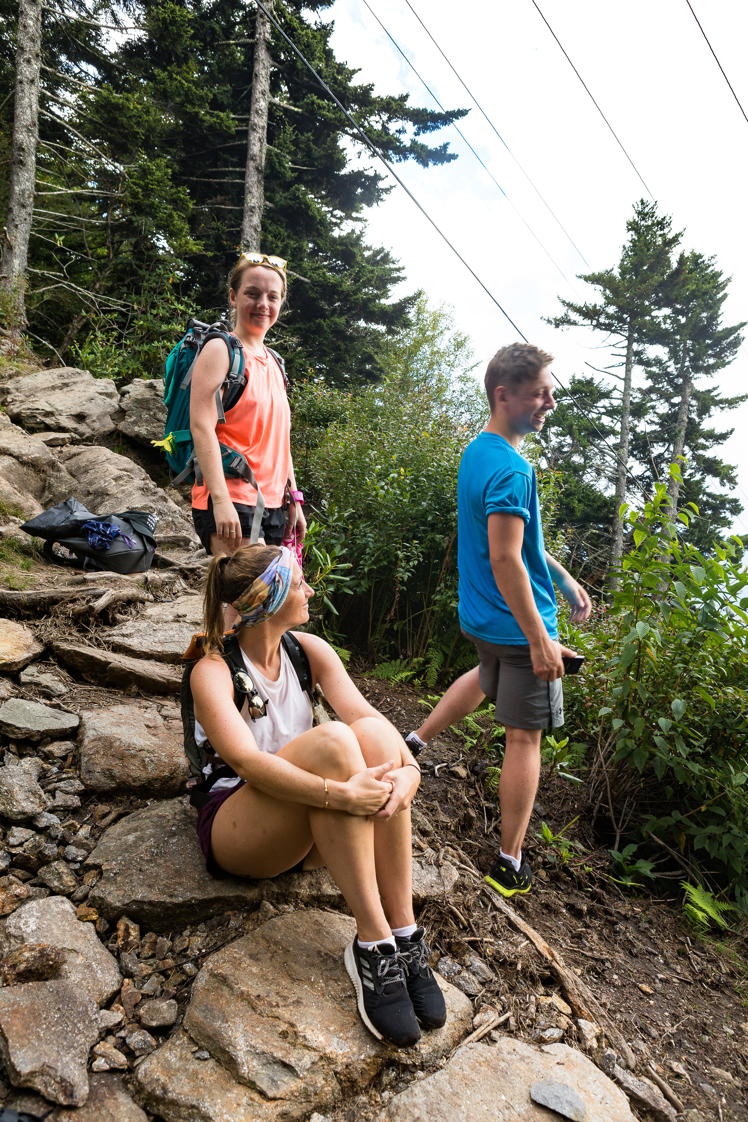
Slowly but surely we made our way further and further up wards. With most of the mountainside covered in forest we did not have much of an opportunity to take in the views around us. Until we reached a small clearing which had been carved out to make way for a electricity pylon that was strung up the side of the mountain and also headed for the top albeit in a much more direct fashion. Straight up. This gave us a small glimpse into what we would see from the summit and it was already pretty spectacular.
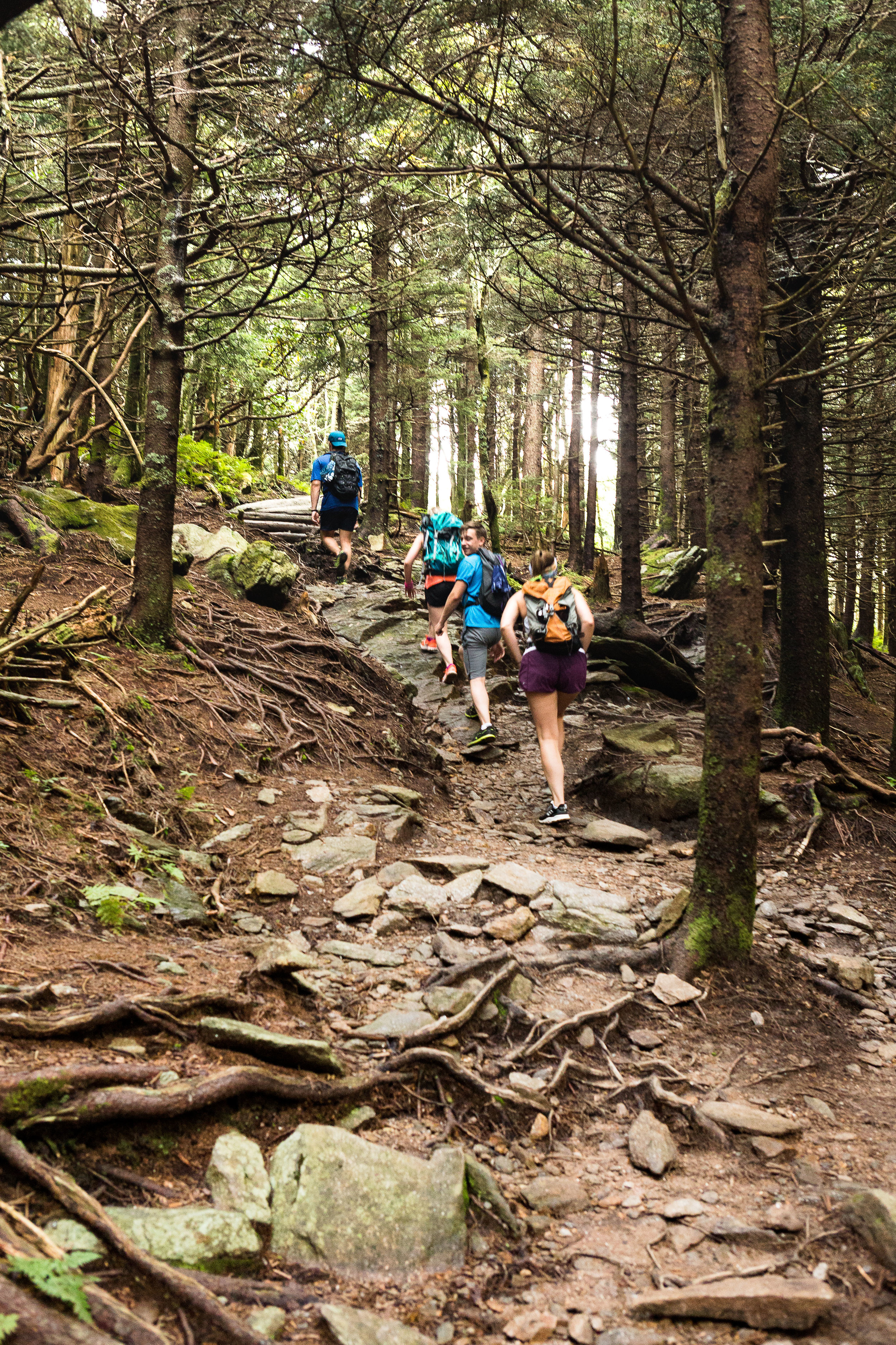
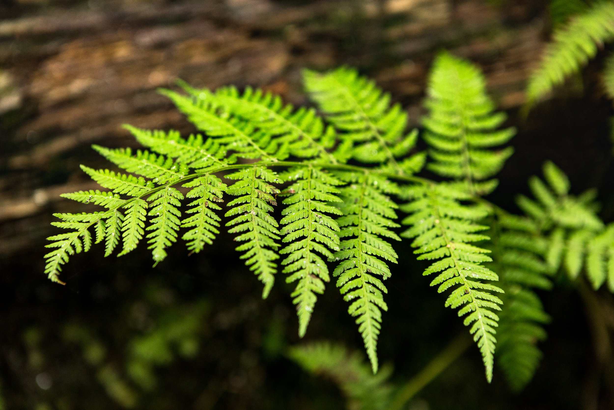
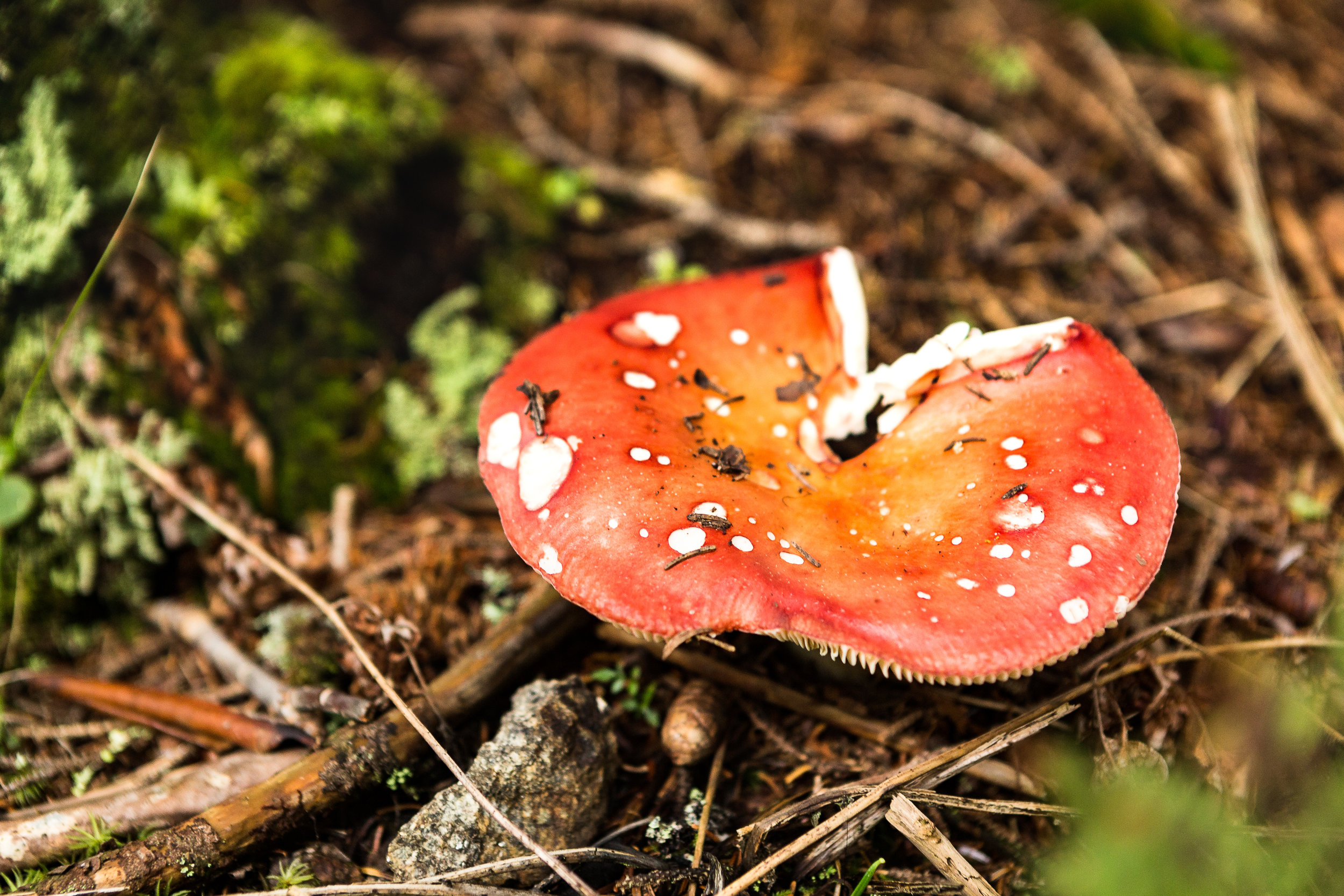
I find it fascinating seeing how the environment changes as we meandered our way along and higher up the mountain. We passed through thick groves of rhododendron’s as we climbed and the scenery slowly changed from chestnuts and oak trees to fir trees as we made our way higher and higher. Unfortunately we didn’t see any flying squirrels or local black bears. Admittedly not seeing a bear up close although an amazing experience would have been a bit nerve racking for the group and the bear.
You can read about my last bear experience in the link below
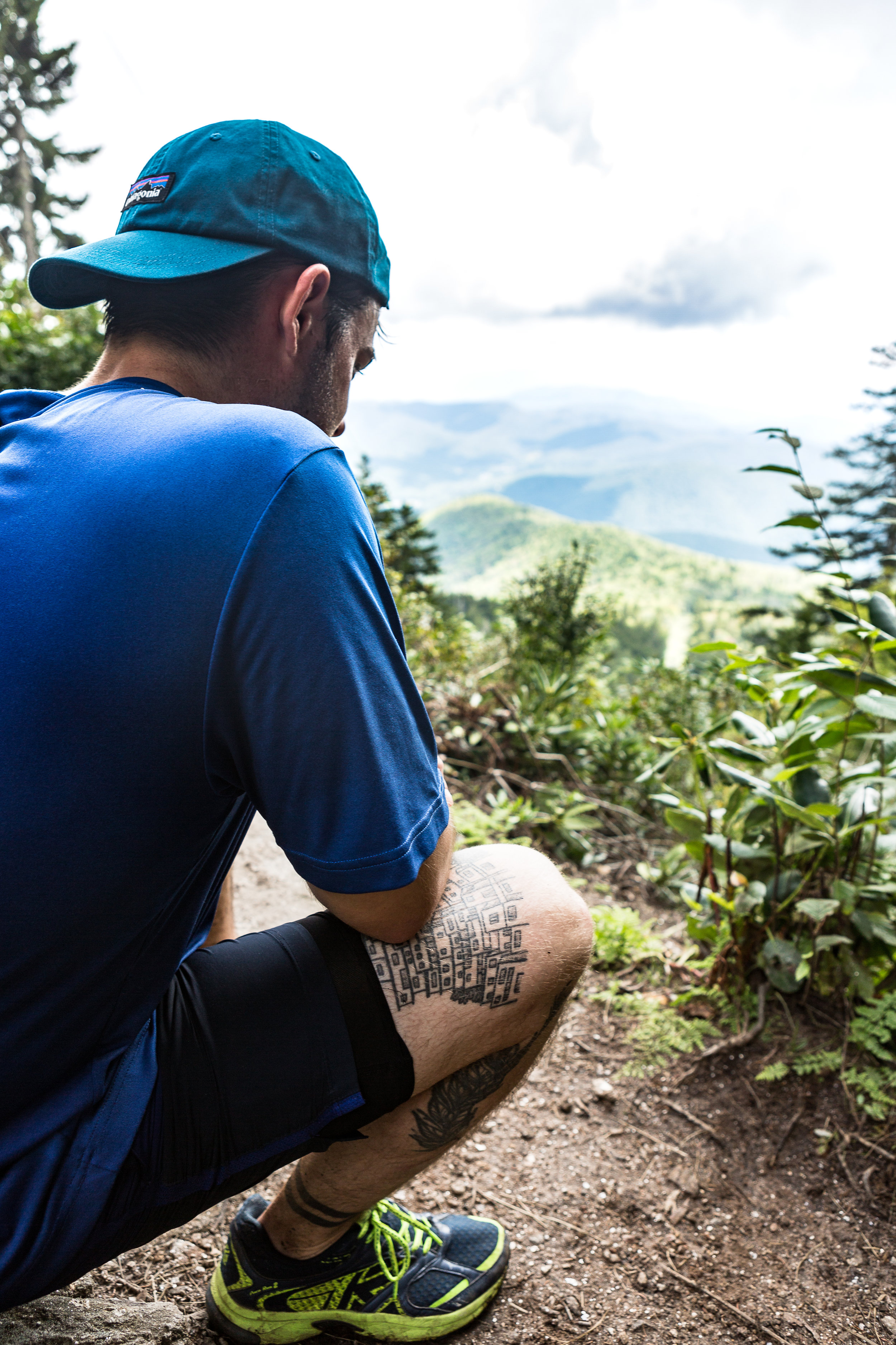
We were not disappointed on reaching the summit. The 360 degree views were pretty awe-inspiring. We even met some cyclist that had made a bid for the summit under their own power as well. Munching away of some snacks before the second leg of the journey we watched large grey clouds moving in on the area. With the weather on the turn and due to it taking longer than expected to reach our actual starting point we made the decision to make a dash for the bottom rather than continue along the ridge to some other nearby peaks. Part the way down the first rain drops started to make their way through the foliage. We stopped briefly for an attempt at some easy bouldering before pressing on quickly to the bottom. We got back down in pretty quick time, with the rest of the evening to explore the nearby town and its array of Breweries and Bars.

The Weather Turning
If you are interested in reading a bit more on Mt Mitchell and the surrounding area the link below has a bunch of info.
https://www.ncparks.gov/mount-mitchell-state-park/ecology

Views from the Summit