Journal
New York Appalachian Trail
Location: Appalachian Trail, New York
Total distance: 88 Miles
Notable features: Point to point course with lots of ascent and descent and scrambling over rocks and tree roots.
Weather: 55º at the start, going down to 37º during the night and then back up to 60’s during the day.
Cutoff Target: 24 hours
Total Elevation Gain: 17,000’
Total Elevation Loss: 18,000’
Average Elevation: 1000’
Max Elevation: 1500’
Min Elevation: 120’
Total runners who started: 2 (not including crew)
Total runners who finished: 0
Goal Time: finish under 24 hours
Distance covered: 71 miles
What started with a random cold and mid winter sunrise run back in January snowballed to the concept of running the New York Appalachian trail. Looking back the unexpected situation with Covid shaking up everyone’s calendar certainly helped convince Greg and myself to look differently at our options for running related challenges in 2020.

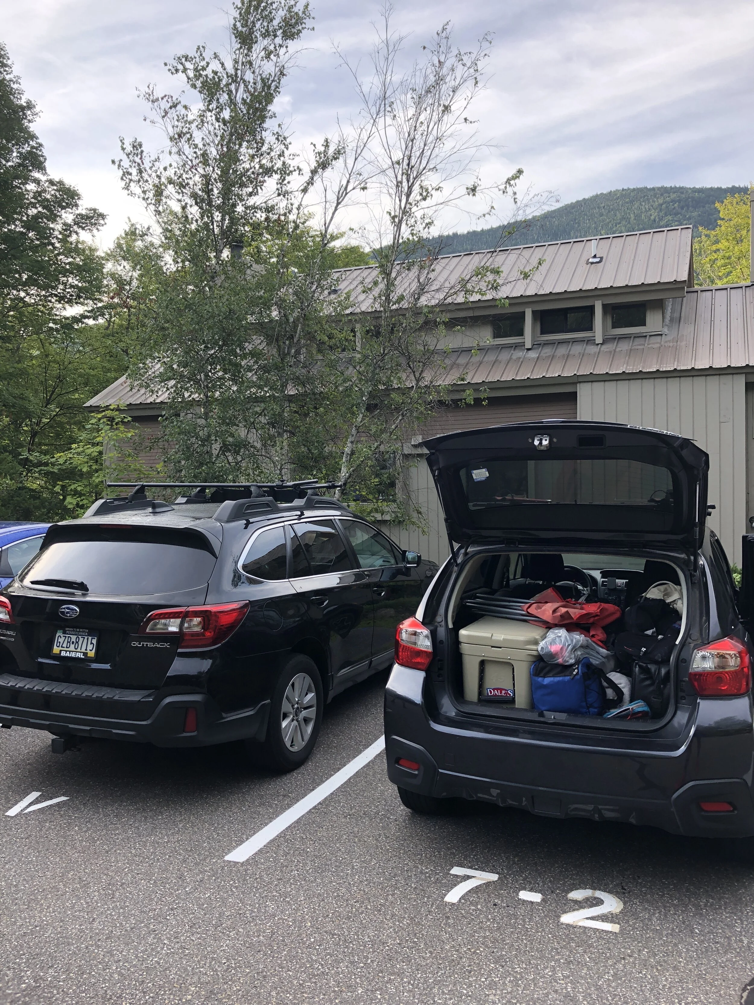
From that initial wintery run there had been a variety of running trips throughout New York and New Hampshire. My summer training plans briefly interrupted by an injury I picked up in June/ July, which along with gyms being shut hampered my progress. It’s safe to say it was tough being patient and letting the healing take its course. Nonetheless I was managing to keep my fitness ticking over with some cycling and strength exercises. Fast forward and we were suddenly in September and counting down the weekends till our inaugural FKT attempt. We had planned out some longer training runs which my incredibly supportive wife, Laura, came out to drive between aid stations. Her supporting was a massive help for my training as well as helping us to fine tune what we would need on the actual day of the run. There is one thing running for 5+ hours but it takes a whole different level of dedication to drive between random spots for 5+ hours and camp up waiting for the 5 - 15 min stops we would take to pass through in.
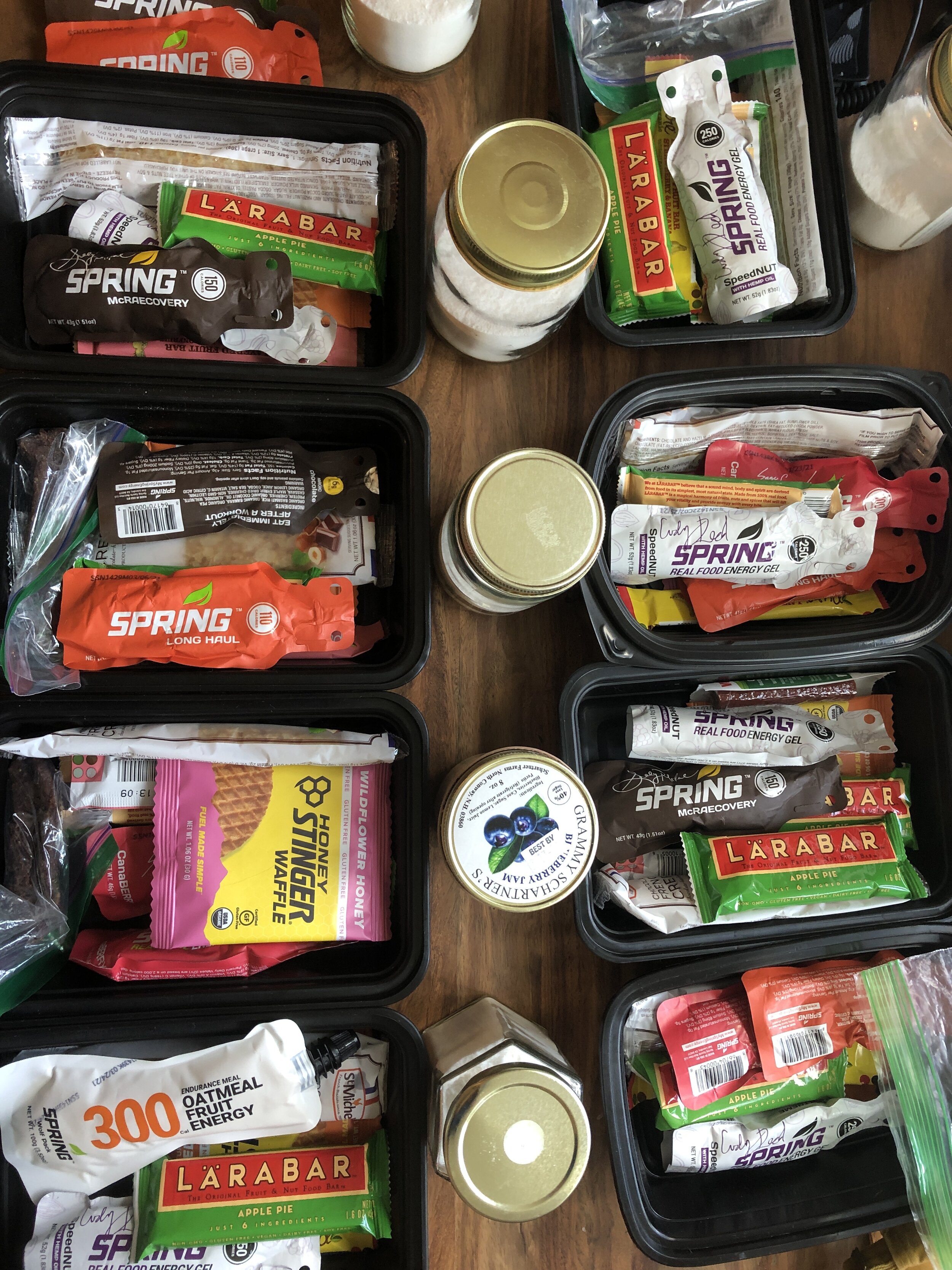
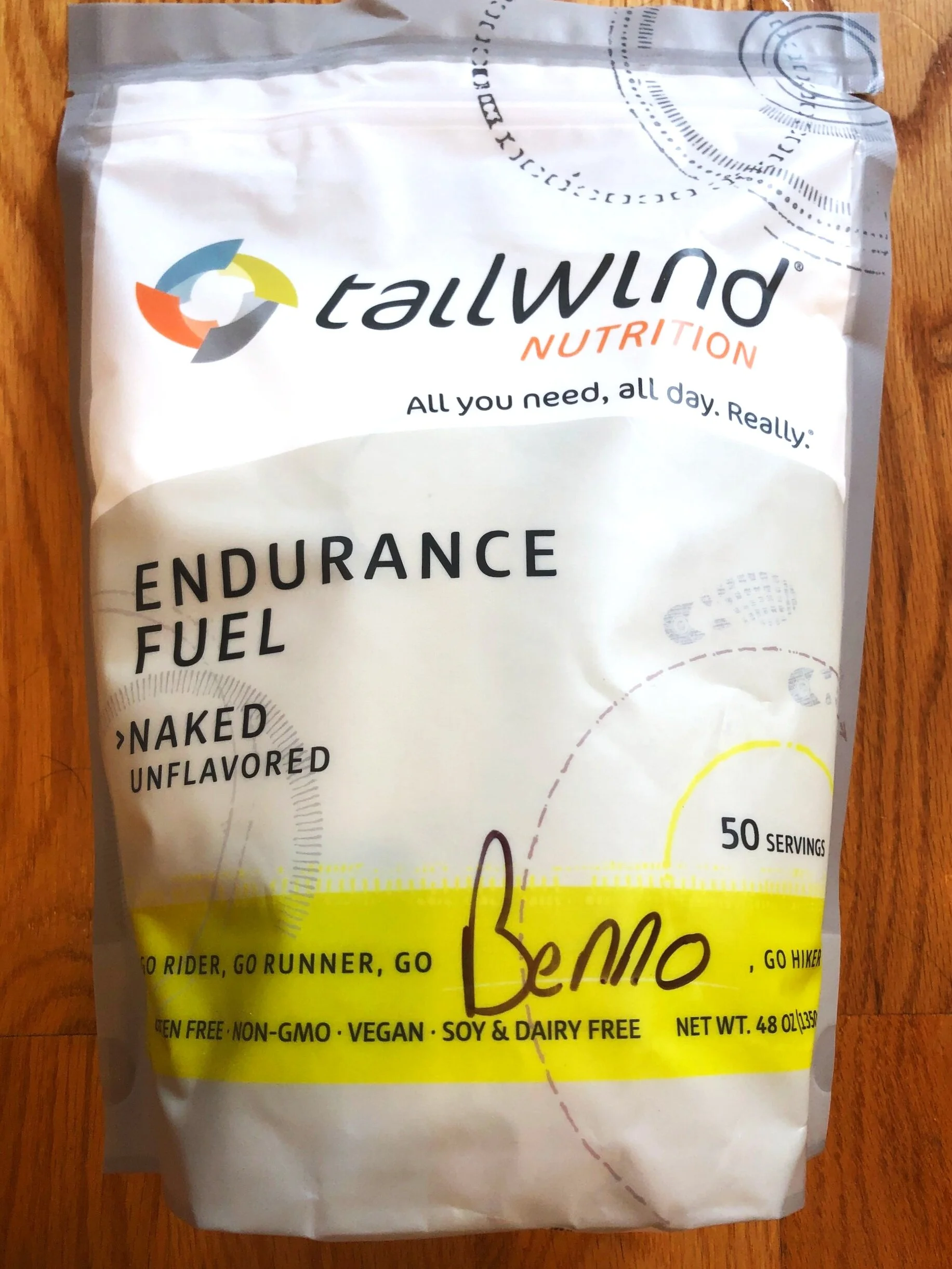
I spent the last couple of weeks tapering with a mix of yoga, mobility work and making sure I was eating, sleeping and drinking well (I probably should have been doing all of these more often throughout my training) . The final supplies were ordered as I settled on a selection of food and drinks for the run. For drinking I used tailwind the flavourless variety, energy gels by spring energy then I mixed in some solid foods of Lara bars, hummus wraps, beef jerky and a selection of waffles. At the aid station I was able to add in some pedialyte, water and an assortment of cake we were planning on rustling up closer to the day of the run.
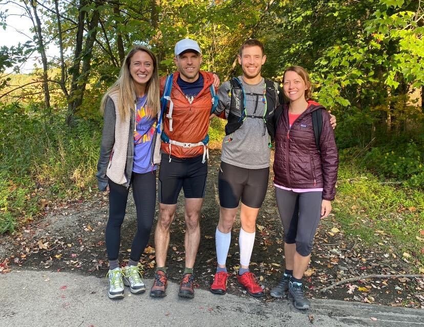
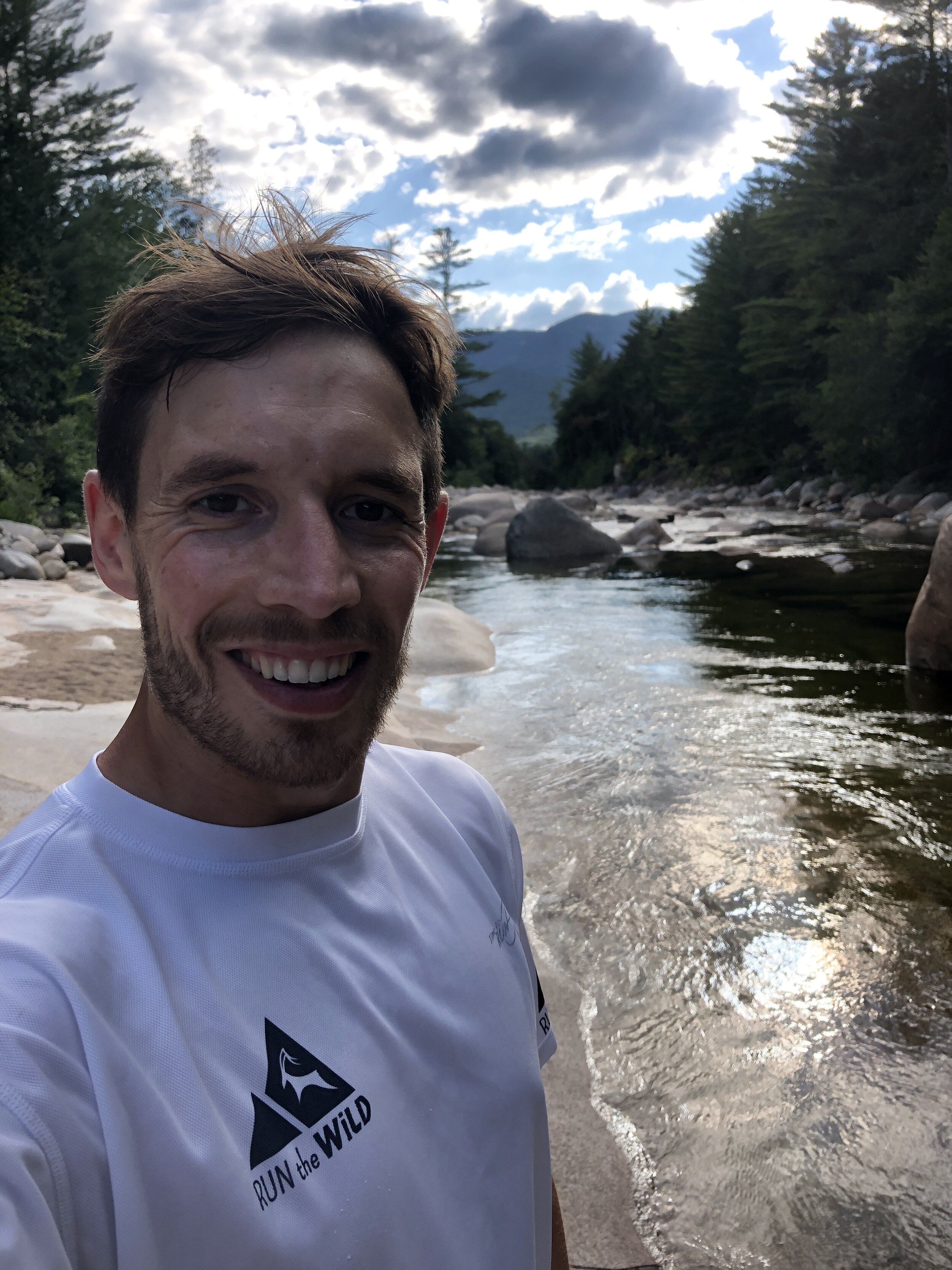
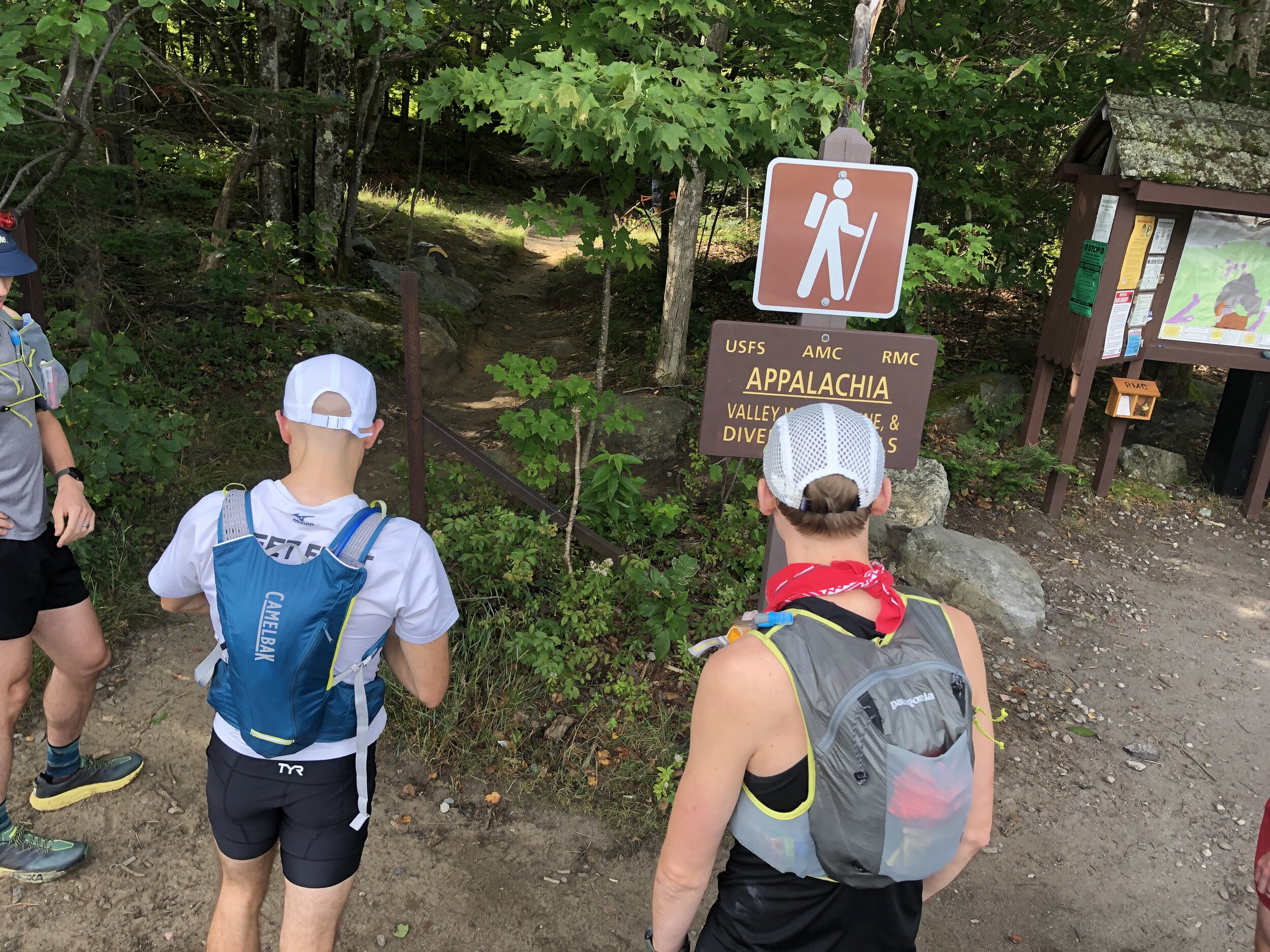
The plan was to start at 6pm at the edge of the New York and New Jersey border where we would complete the slowest and overall more technical section in the dark whilst we had fresh legs. With the thinking we could catch up some speed on the “smoother” sections during the daylight the following day. The day of the run was spent with the final small pieces of preparation and making sure we had everything. It was certainly different to the Pine to Palm 100 miler (you can read about that here) I did where we were limited by what I could physically fly with to the event. Laura between helping me organise a few bits was busy baking treats for the runners and crew. Driving out to the start line my nerves and excitement were starting to build. Meeting up with the rest of the team we transferred kit and food between the cars, took some photos of us looking clean and fresh before hiking up to the start line. The sun was beginning to set, flooding the area with a golden hue. We could not have asked for better conditions! No rain was forecasted, the days were due to be cool. The night was looking to be a cold one!
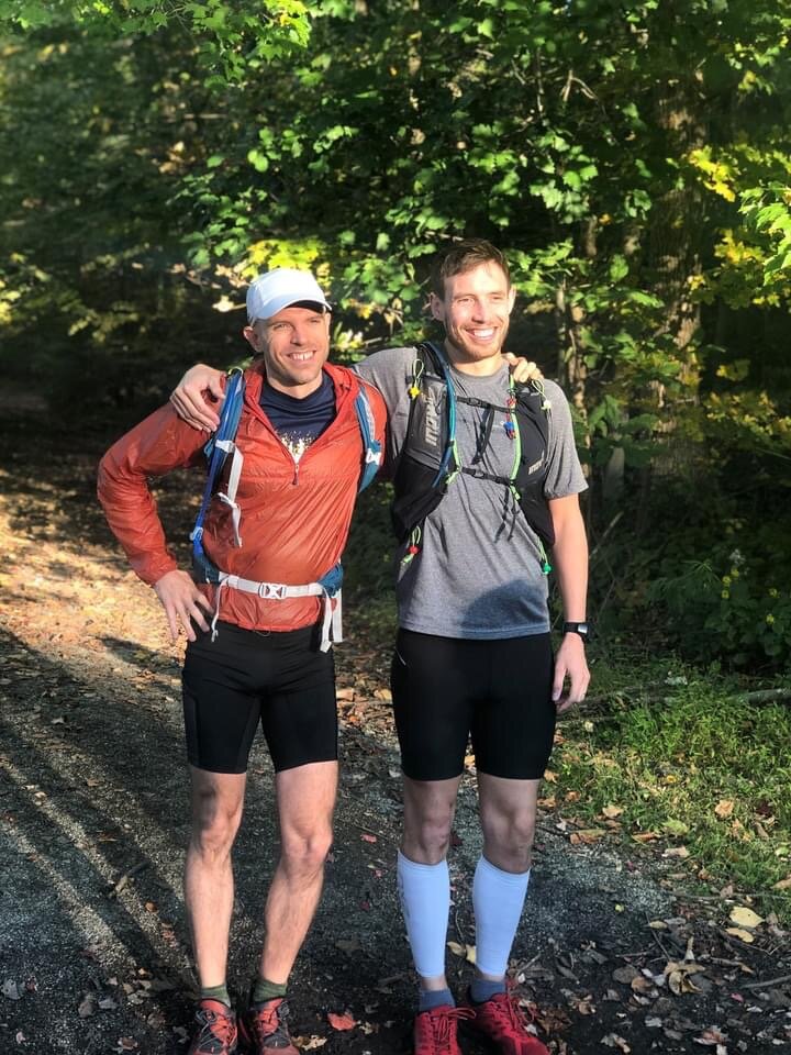
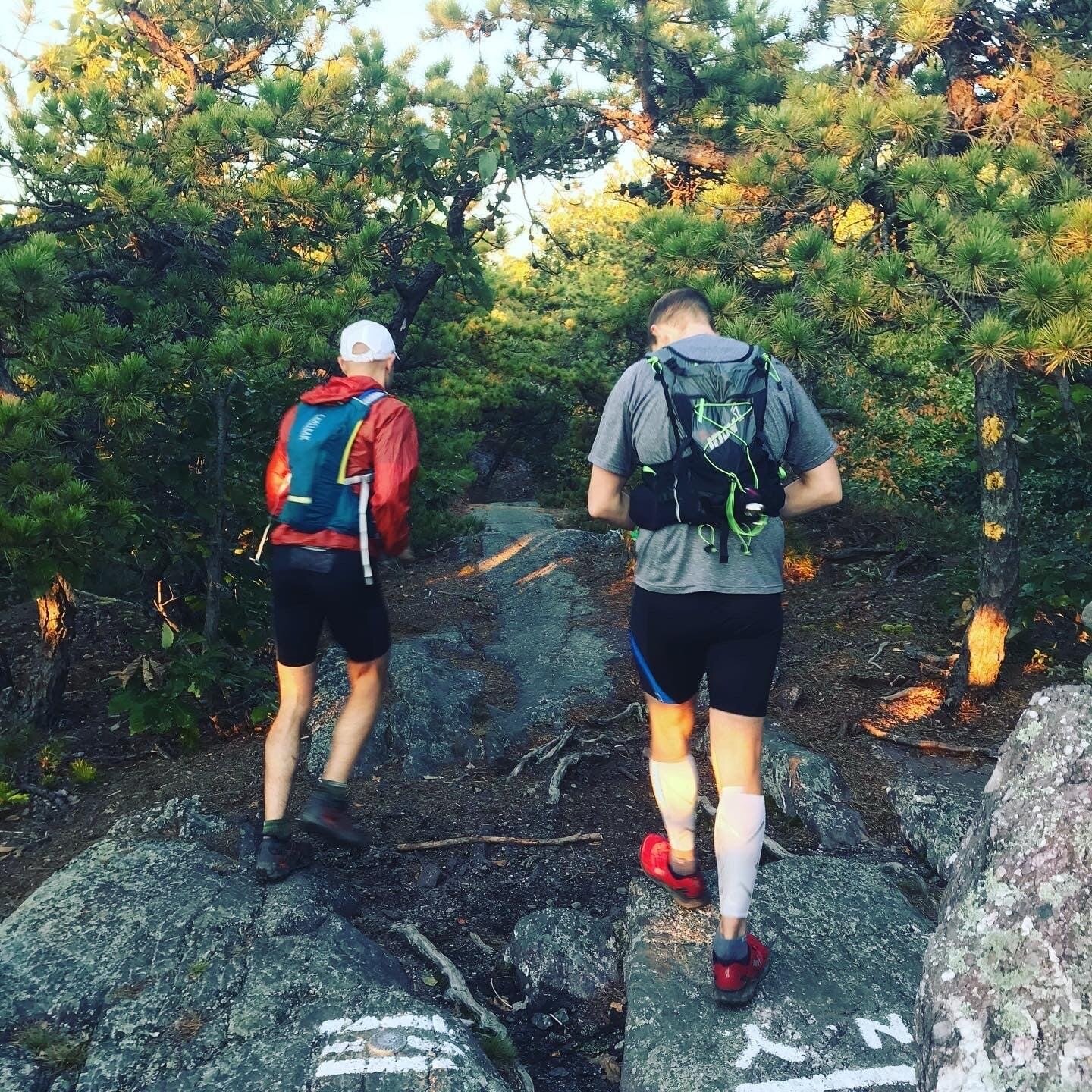
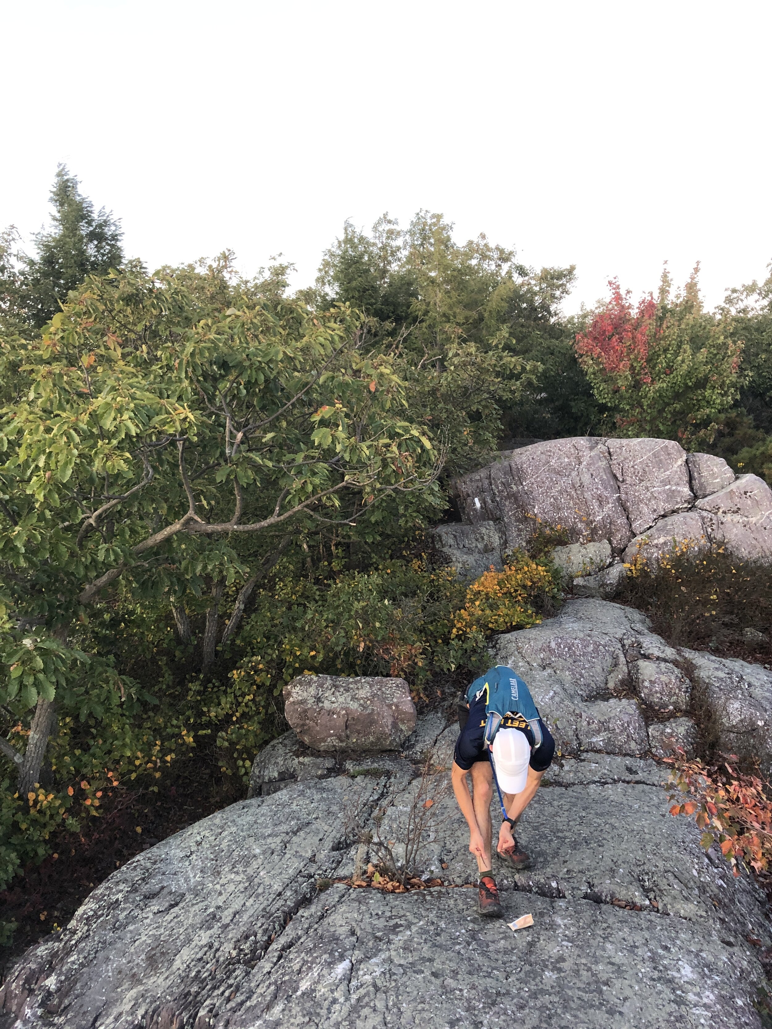
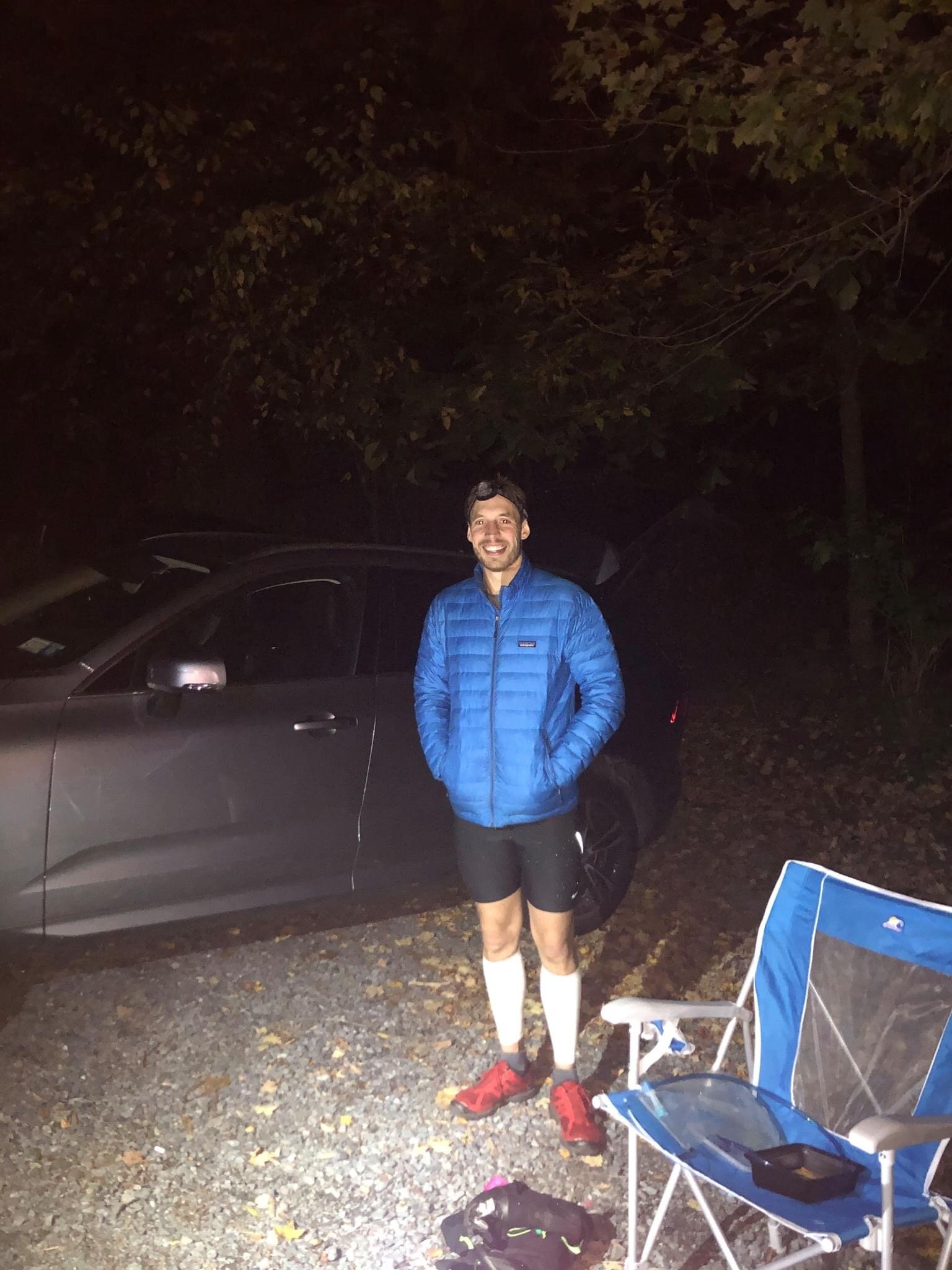
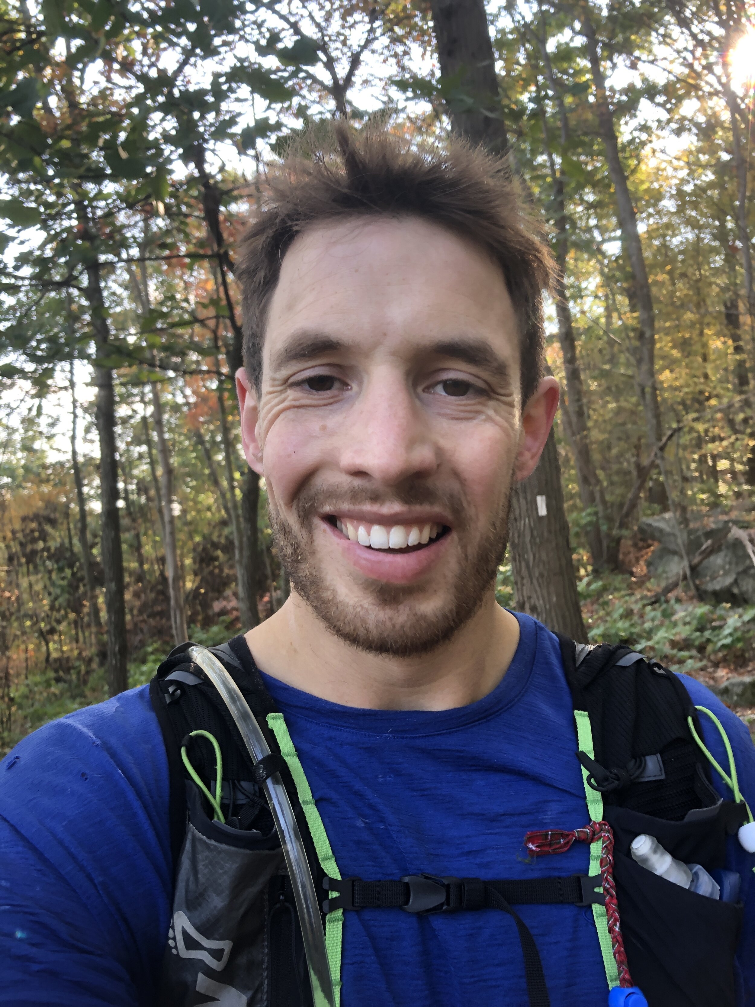
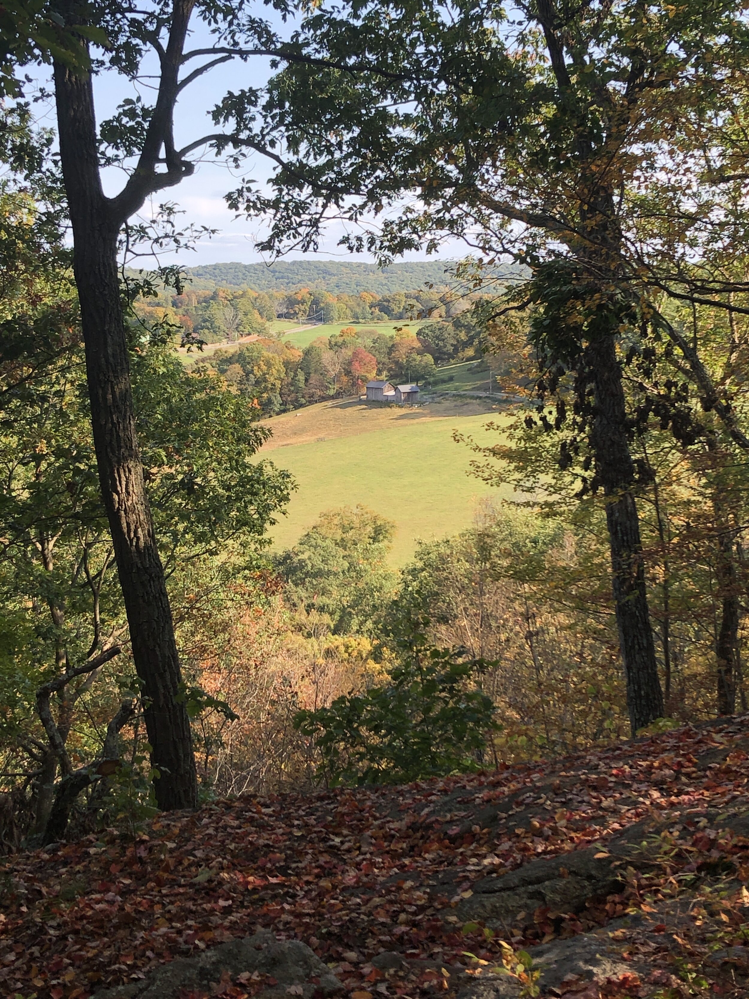
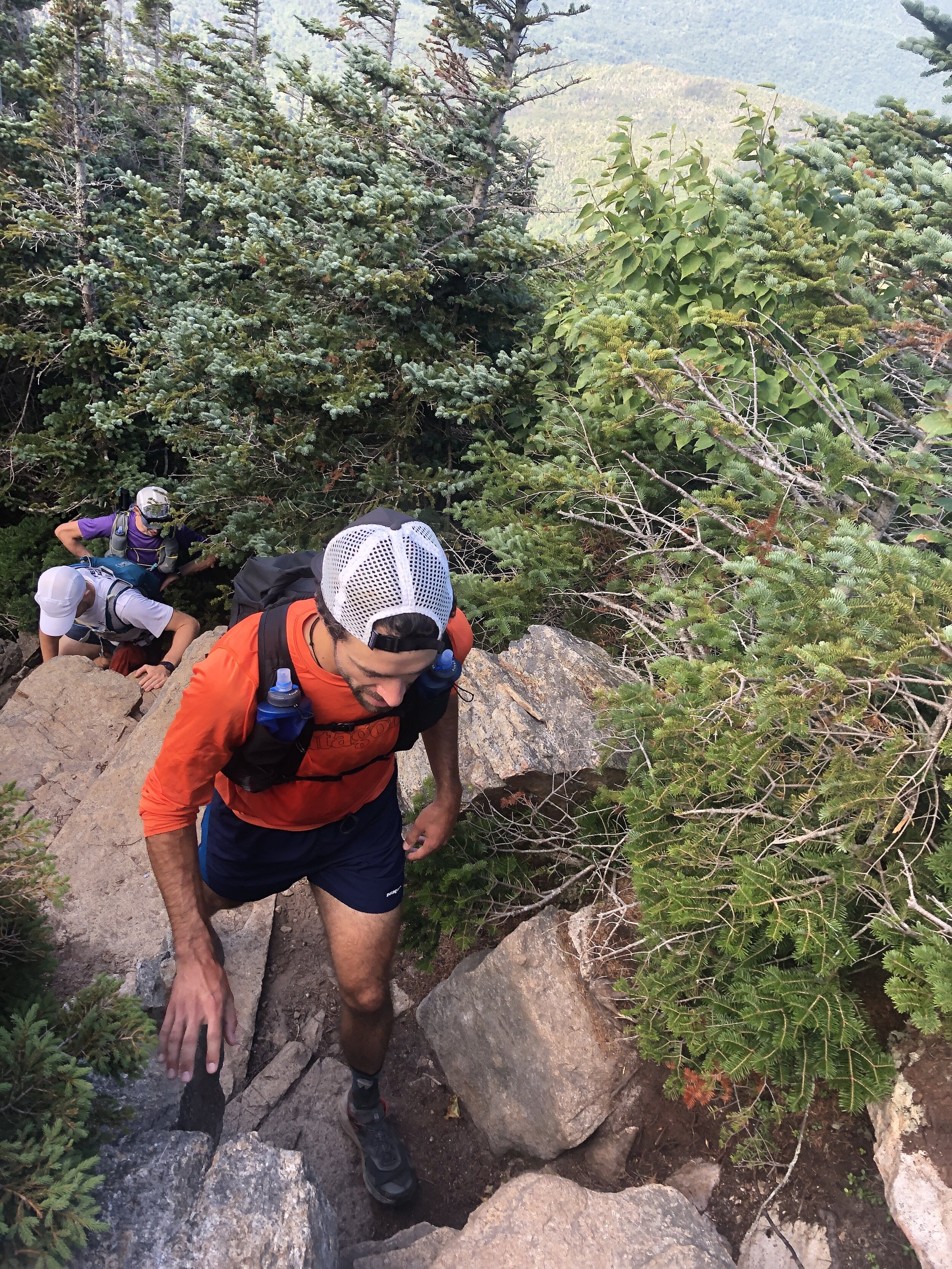
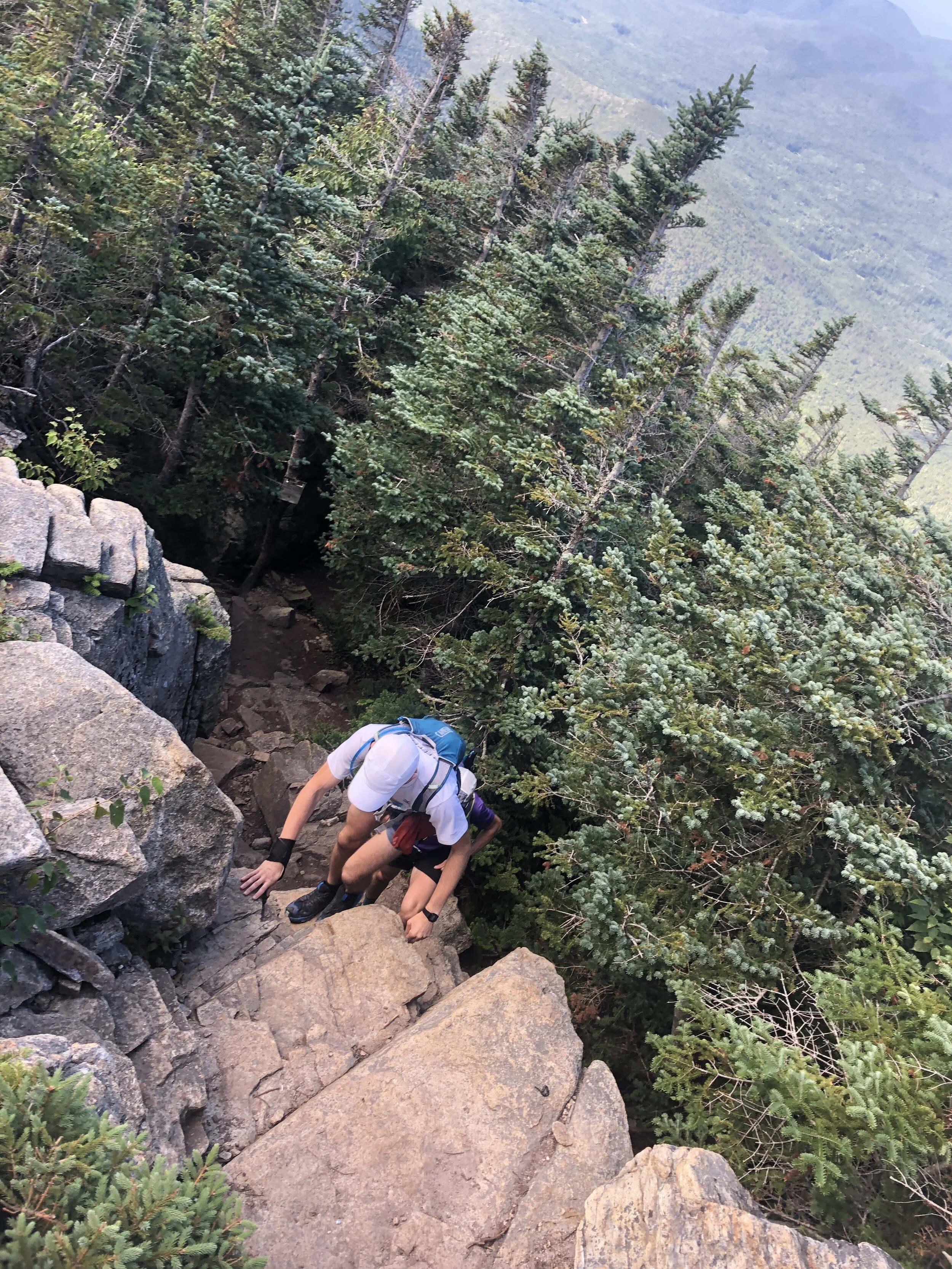
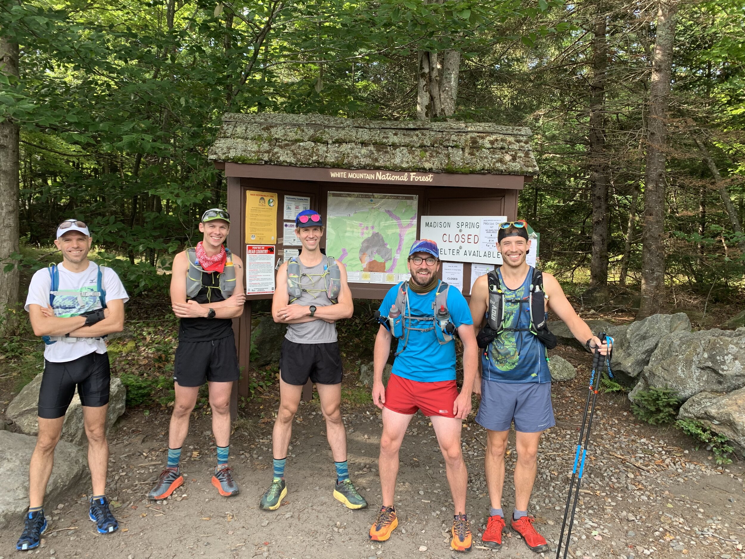
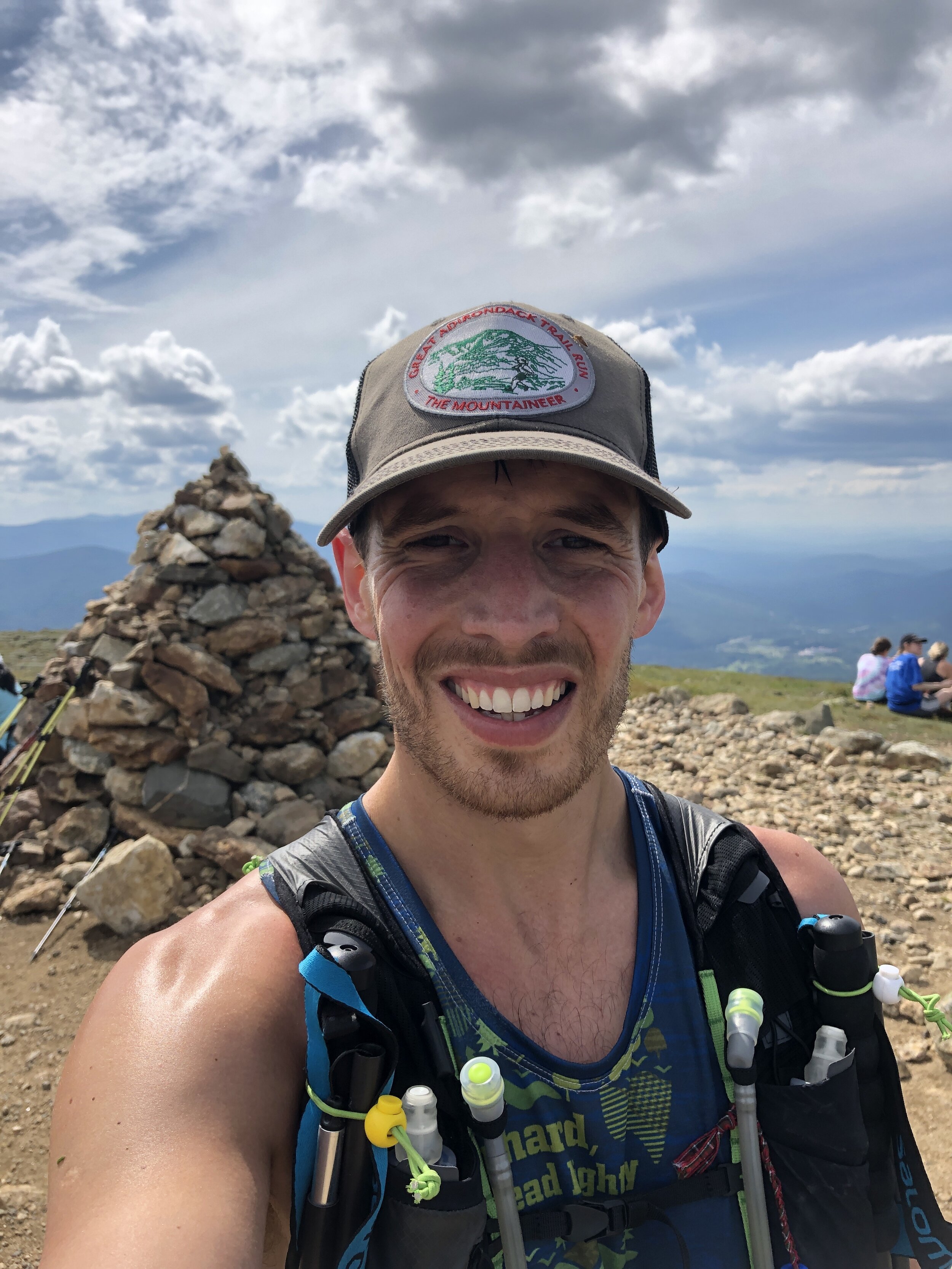
Greg and myself posed for a few final pictures whilst we tried to look relaxed and fresh. Standing at the line painted on the rock marking the border of New Jersey and New York we were finally ready to set off. After months of training, planning and preparation, all those hours had built up to what we hoped would be the next 24 hours of running. With no fan fare other than just the four of us we did our own count down, started our watches and headed off down the trail. Having run it a few times previously we felt the familiarity as we jogged along. Pausing briefly on top of a ridge line close to the beginning to admire the sun setting across the surrounding area. It was a beautiful sight! Before heading back into the forest and being plunged into growing darkness. As the light died the forest started coming alive with noise from all the bugs, birds and what sounded like a pack of dogs howling as the day came to a close. The odd crashing through the forest with a flashing white tail of deer as they bounded away from us. Not too surprisingly through the early stages of the run we hardly met anyone along the first couple of sections.
Arriving at the second aid station and we picked up the pacers joining us, Dan, Dan and Mike for an extra set of eyes in the dark. Unfortunately Greg’s foot was beginning to cause him some issues and in the midst of it I managed to have a trip hitting my knee and bashing my hand. The skin ripped on my hand with blood beginning to drip down my fingers. Not a great start given we were so early in the milage and the night. We met the crew at a road junction where they helped clean me up. Patched up and we were back on the trail.


During the night we lost time with our pace not being quite what we hoped or expected. We were at third aid station and we had already lost a decent amount of time but there was still the potential to catch up some of the lost time. It was also during this stage where we bumped into a number of camp sites, with dogs barking and growling to the sound of our foot steps. Despite being a dog owner the sound of a dog growling and barking angrily in the darkness wasn’t exactly reassuring, particularly as it became louder and closer. In parts people had set up camp almost immediately off the trail. We past one man asleep in his chair outside of his tent and I am pretty sure his eyes were open, at least it wasn’t halloween….
An extract from Greg’s experience:
“If Nikki can endure great pain daily, I can do it for one day" This is what ran through my head at 1am on the Appalachian Trail on Sunday morning. I was 25 miles into our 88-mile trek to be the first to do the New York Appalachian Trail in a day. My foot had hurt all week (long-time plantar fasciitis), including on a short walk the day before. It was hurting badly by mile 15 of the run, and by mile 25 at our 3rd aid station, I pulled Becca aside who was crewing us throughout the night and said "This is the worst it's ever been. What should I do?" "Greg, all you can do is listen to your body.", she responded. I threw every treatment I could at my foot at the aid station - massage, yoga, CBD cream, new shoes. But none of it really seemed to do too much. I just listened to my brain and my heart instead (those are part of my body, right?) and took it one painful step at a time.“
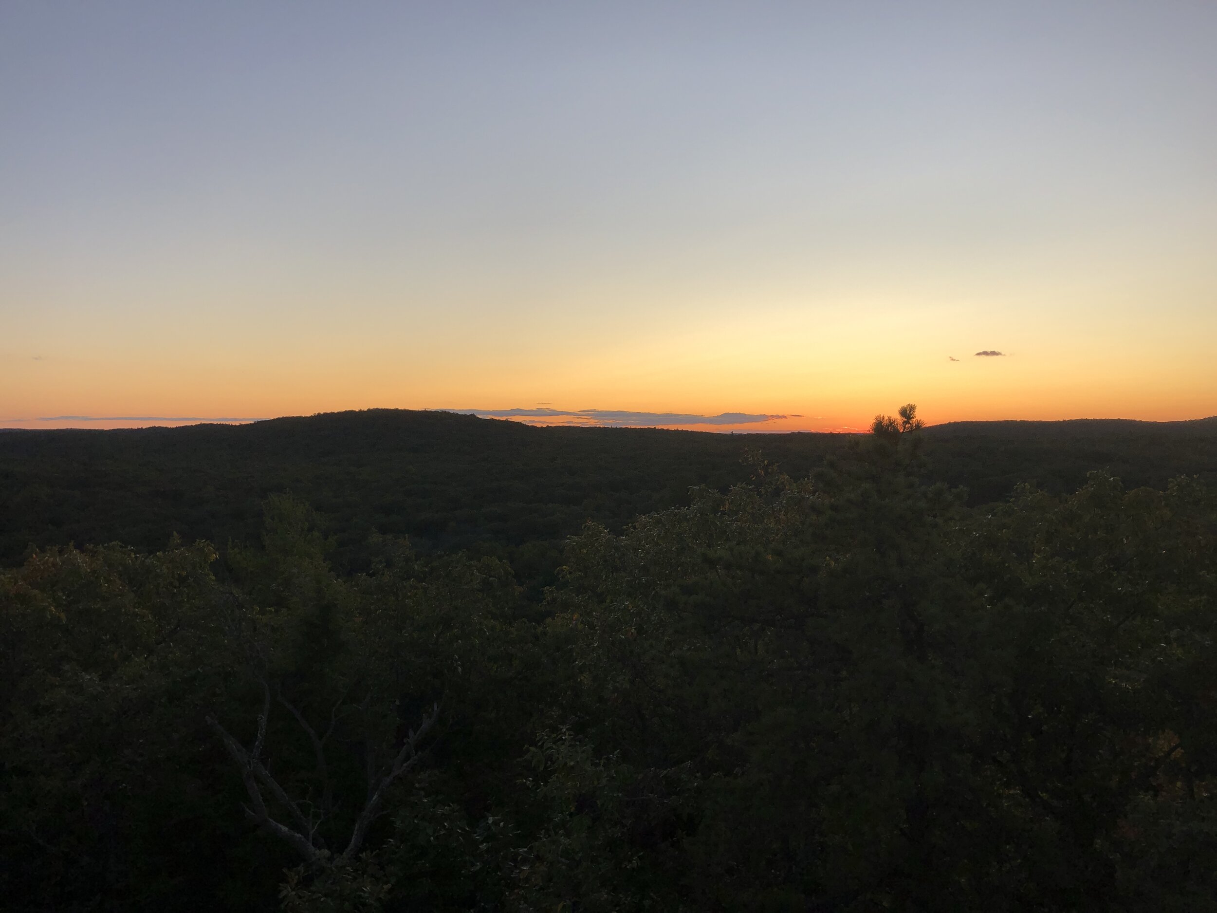
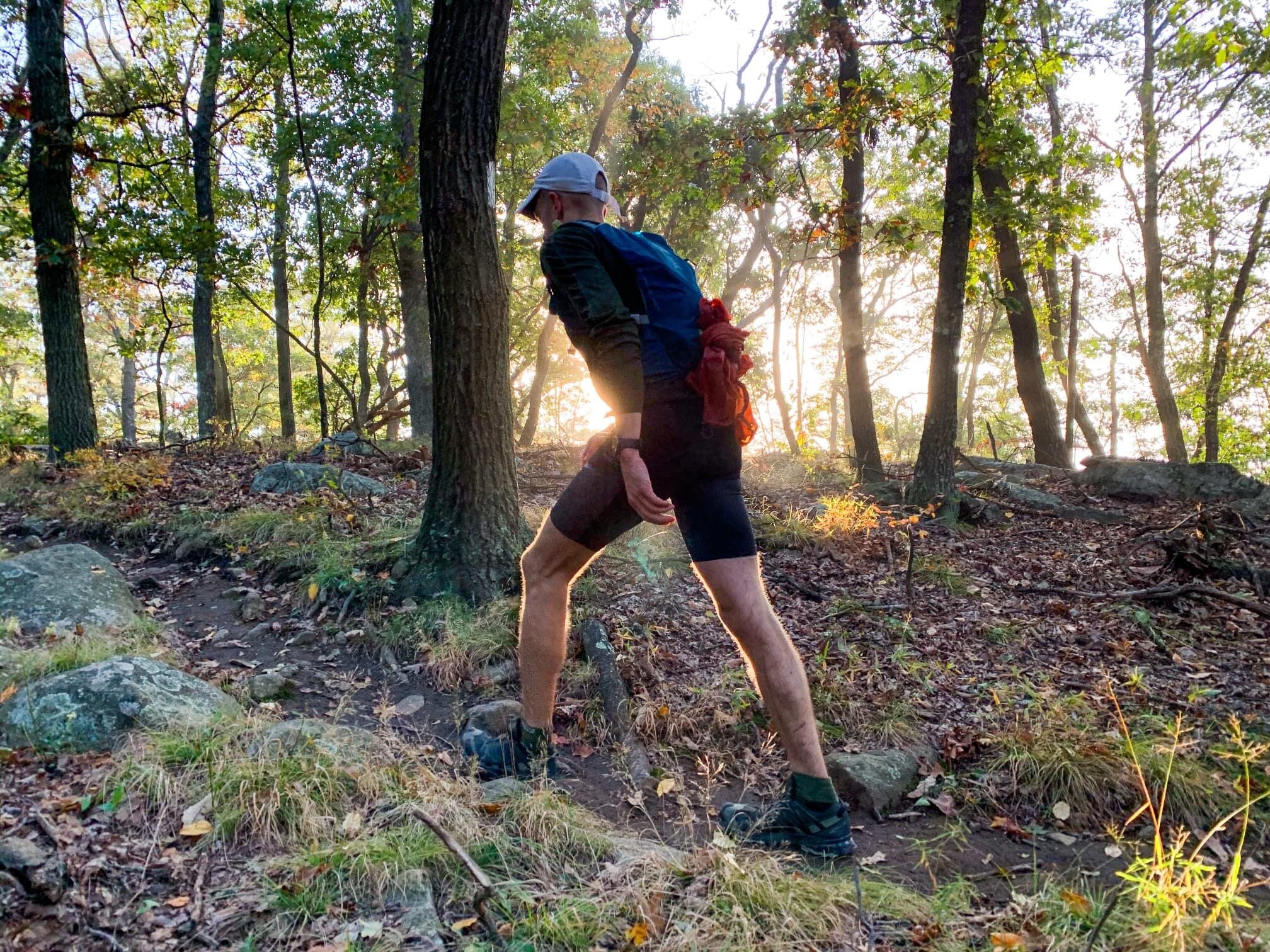
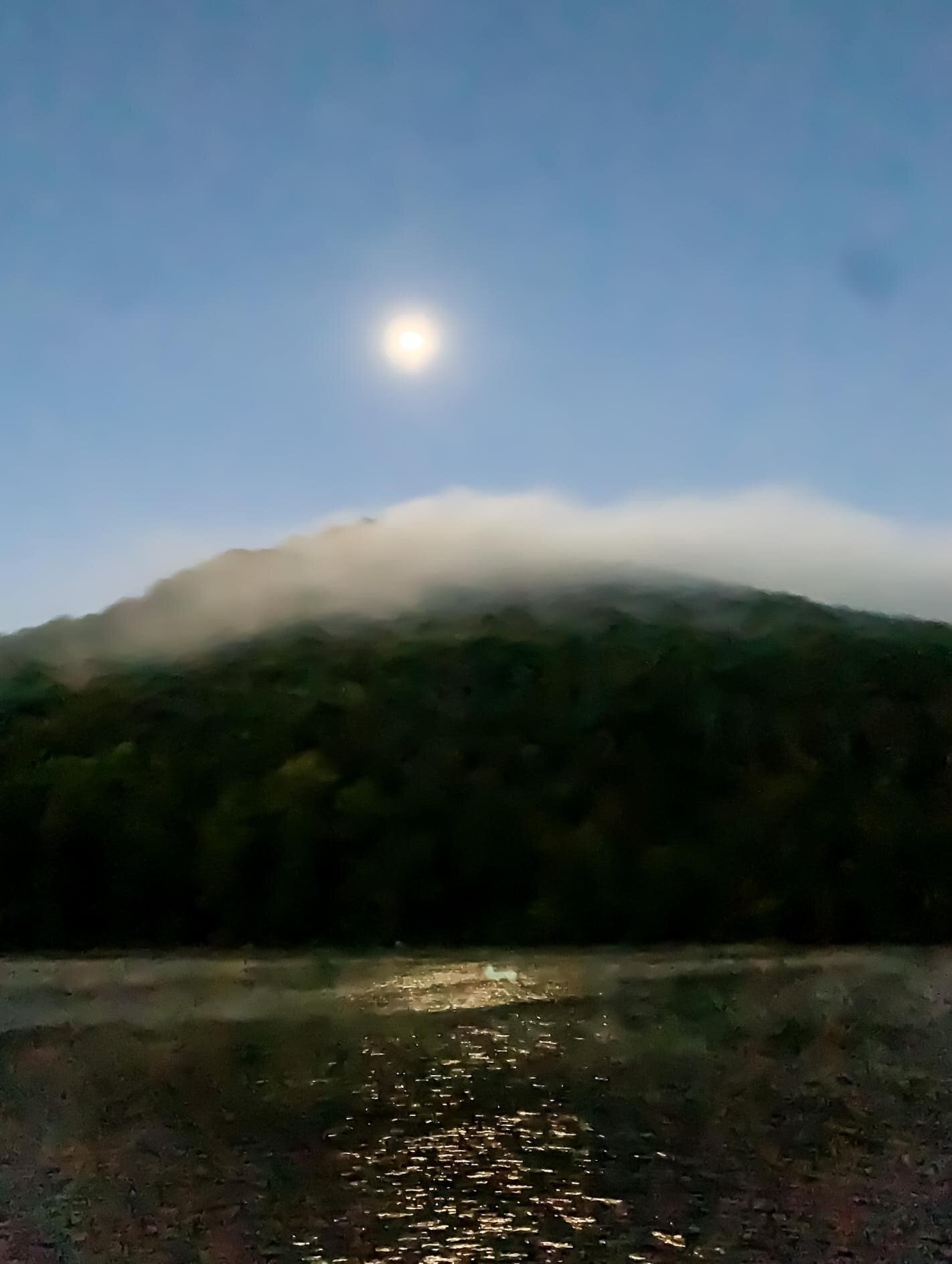
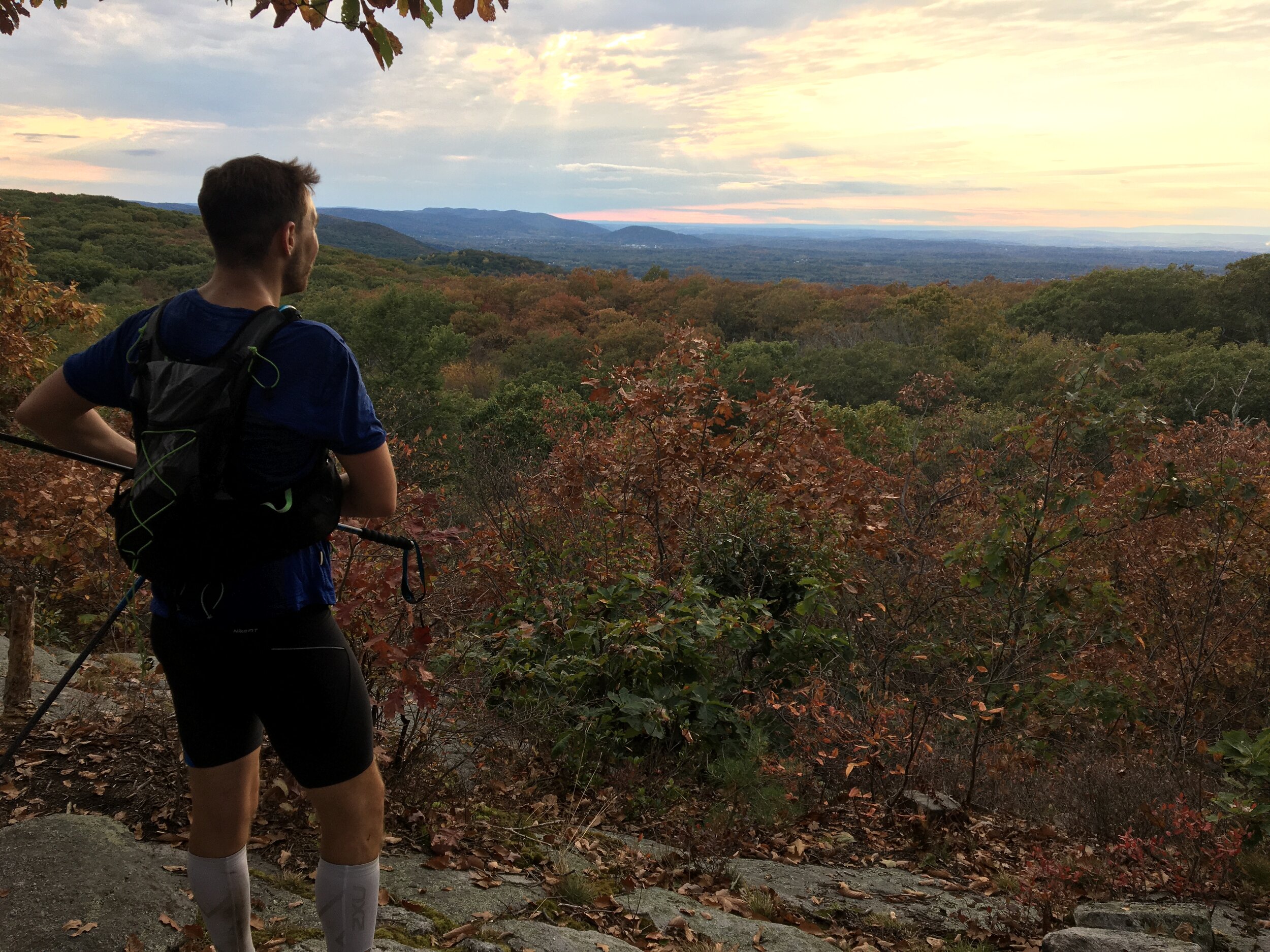
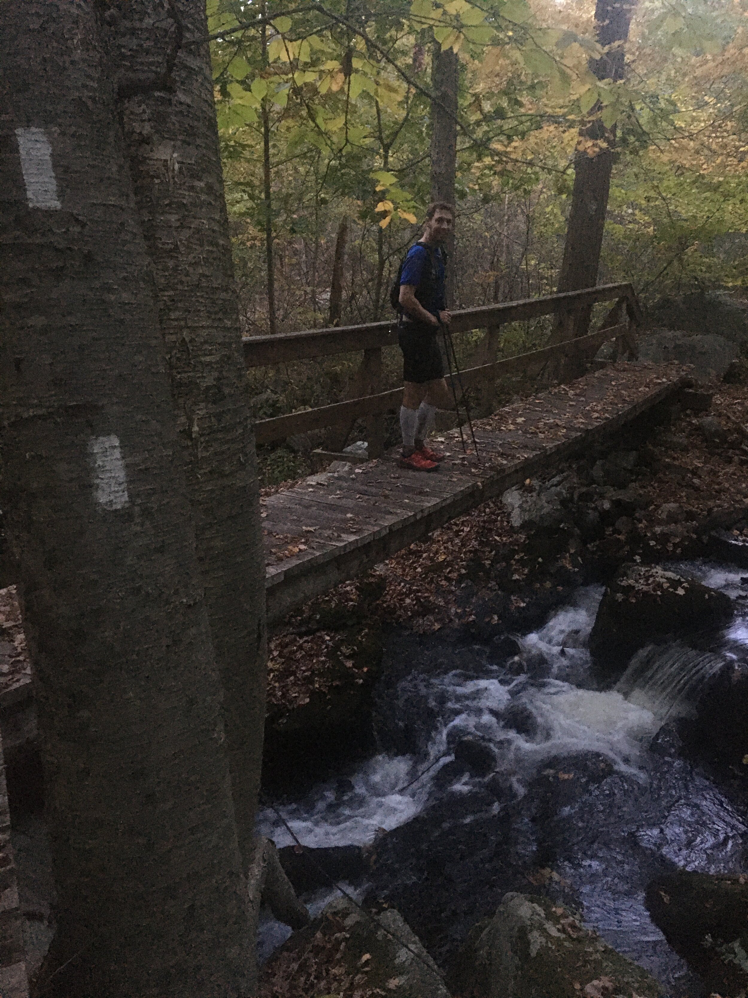
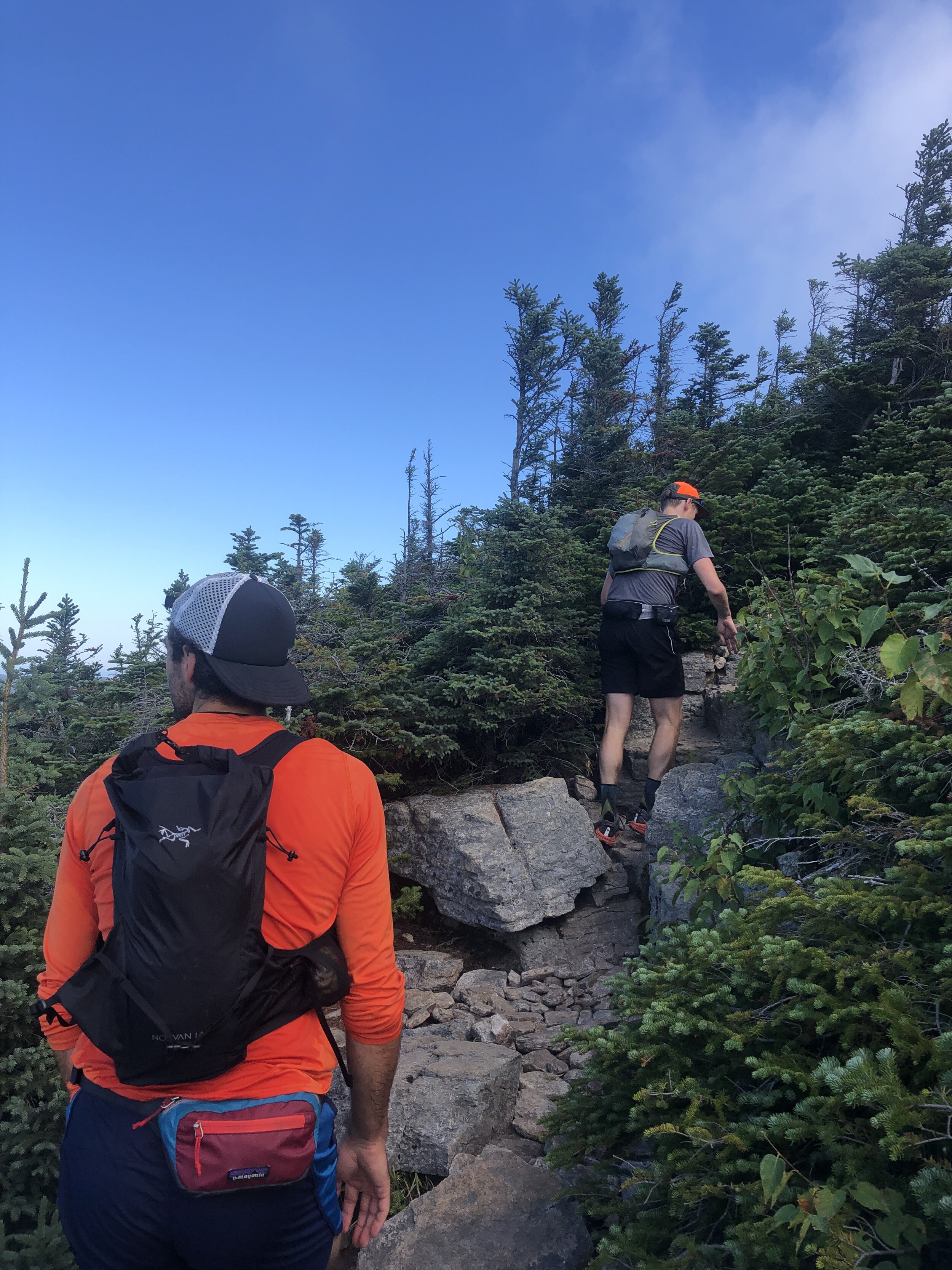
At the third night stop we ended up pausing for a while with Greg’s foot causing some issues. After sorting out some of the essentials and feeling the temperature plummeting as our bodies cooled in the cold night air, myself and some of the pacers wrapped ourselves in towels round our legs and wore puffy jackets up top. The night had cooled down substantially and by the time we left my teeth chattered away despite being wrapped up with a jacket, gloves and hat on, it was time to get going. Thankfully the immediate uphill helped with warming up quickly and soon we were stripping off the extra layers. The extended break had done Greg a wonder of good. Our pace improved and we were making better progress as we headed towards Bear Mountain. As we headed on up the mountain the sun was beginning to rise. Despite all the extra eyes on the trail we some how cut a section off the trail ending up at the summit prematurely. Realising our error we doubled back before finding the right trail that took us in a long sweeping loop back to the summit of Bear Mountain. We paused briefly along the trail to see a full moon lighting up the valley along with a cloud inversion siting beneath us. The sun was beginning to rise with the dark night sky beginning to turn a blue grey as we made it down the steps of the mountain. The whole area was still and quiet in the early morning hours, a change from the normally full parking lot and bustling paths. There was even a family heading up for sunrise. Unfortunately because of it being early in the morning we were not able to take the route through the zoo. That will have to wait for another day! We were met near the base by the next round of running pacers, Dave and Chris, who had headed out to meet us, they had been there quite a while unfortunately due to us being pretty behind schedule by this stage.
Heading over the bridge and the Hudson river at the fastest we had travelled for quite a while we arrived for breakfast at the aid station at the base of Anthony’s nose. We grabbed a bunch of supplies for our packs and the next stage of the run and most importantly breakfast along with a much needed coffee. It’s amazing how much difference a new day and sunrise makes.
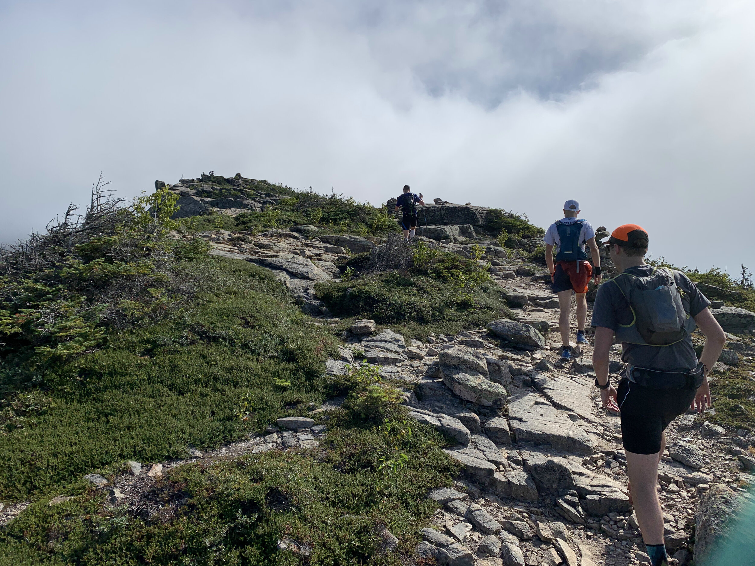
With headlights off we could finally run and see where we were running, which felt like a luxury after the hours of darkness. With the sun up it felt like we were back on familiar ground again as we made our way along the second half of the route. With new pacers the time passed quickly chatting away. Despite already completing one ultra and being about halfway I felt pretty good. Over time we split into two groups with the differing paces. I was looking forward to the next stop where Laura was going to greet me, amazingly she met me mid stage at a road crossing with another cup of coffee. Perfect. I sipped some down as we chatted briefly before crossing the road. Myself and Dave headed off back into the woods on and up the trail. The forest was a beautiful temperature in the morning as we made progress along the trail. Not long later and we arrived at the official aid station. Laura had picked up on the fact that I had misjudged my previous stage on both water and food, so started filling up my running vest with extra goodies for the next stage. We waited around a bit and not long after Greg turned up. He decided to take a bit of a longer stop at this aid station so after getting ready I decided to head on. Dave kindly joined along for the ride (of the running kind). Passing the time talking about his time spent filming in Bhutan and visiting far flung monasteries. Passing along the trails in their full fall colours was an incredible experience. It was mid morning as we came to the point I would not longer have a pacer for a few hours. It had been awesome but I was equally looking forward to a period of just being by myself on the trail.
it also coincided with me beginning to not feel on top form. I just wasn’t feeling particularly hungry or thirsty and was having to try pretty hard to remember to do either. My mouth felt and tasted consistently sweet. I arrived at one of the unplanned aid stations. Laura had decided it would be a great point for a pick me up. Resting under the bridge trying to smile and to get some calories in. I felt ruined. Describing it to Laura with a few choice words on how I felt. Some coffee and a load of water helped kick start me. The next section was uphill for a few a while. I grabbed my running poles and loaded up my pack with a bunch of wraps and some delicious cake Laura had baked up. Feeling slightly sorry for myself I jumped off the back of the car and made my way up the hill. I started to feel better bit by bit as I munched down some food. It wouldn’t be long till I would be joined by Mark who had agreed to come down from Massachusetts to pace for me towards the end of the run. We were massively behind time by this point and after doing the maths I realised it would be a night time finish at the rate I was going. I needed to make up even more time. There were yet more miles of running flowing through the trees as the day progressed I felt stronger and stronger again. Fortunately it was just part of the ebb and flow of these longer runs and the highs and lows that accompany it. I had been a bit worried that it was potentially the same wall I hit of Pine to Palm at mile 80 where everything slowed right down and basically the wheels fell off the cart. Between the running and some force feeding at the aid stations the come back was on.
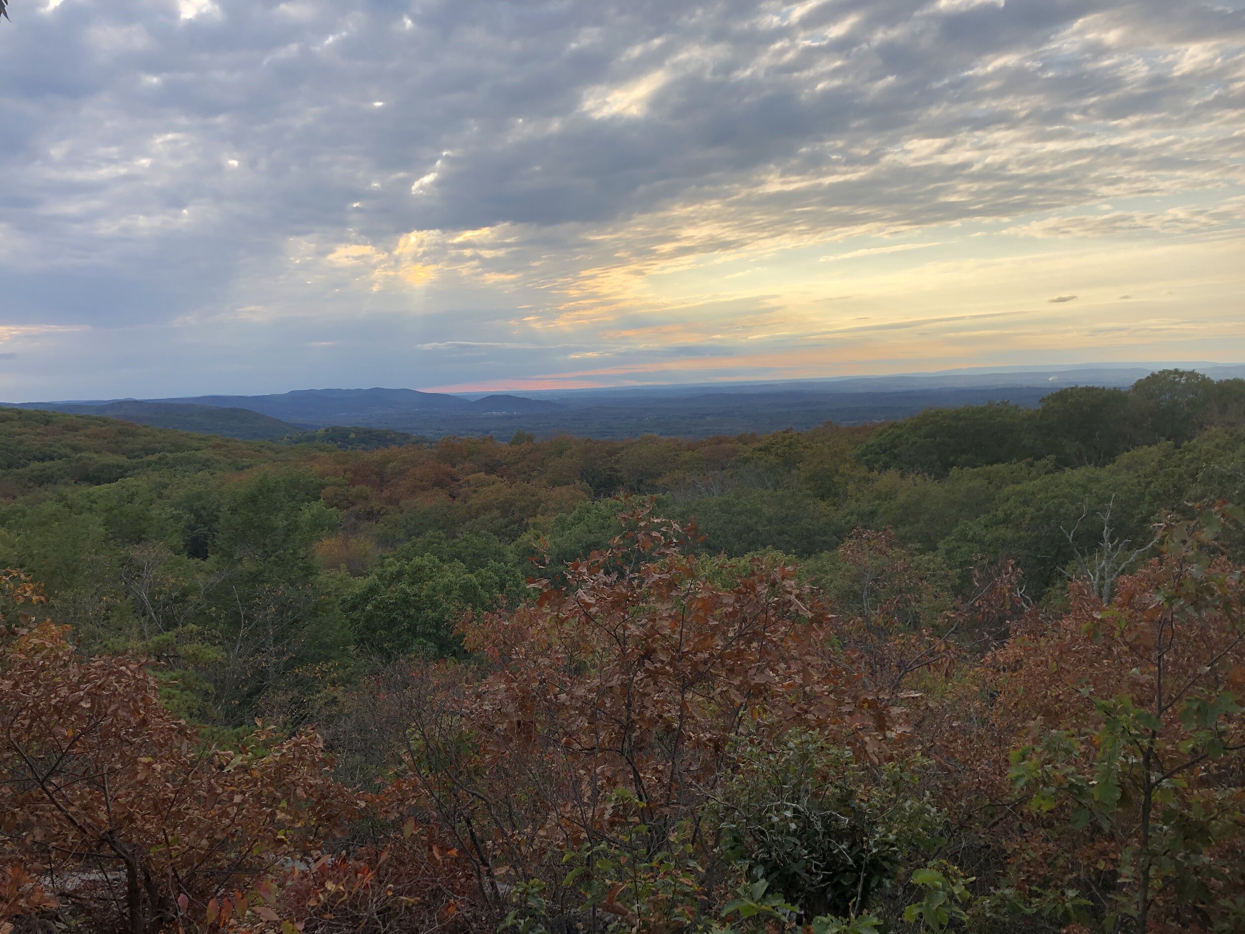
Soon enough I was joined by Mark for the final sections, he provided the boost to my speed with a huge amount of energy and a definite mental boost. We caught up on how the year had been and of course how the run had shaped up. All in all it seriously helped pass the time. It also gave me the opportunity to reflect on the experience and ultimately what I wanted to do. When I met him there was still about 23 or so miles to go. I did the maths and realised it wasn’t just going to be a late finish but with where we were finishing would likely mean finishing up at home in the early hours of the morning. The FKT by this stage was well and truly not on the cards, it just had not been our time on this occasion. After much discussion over the couple of hours I made my decision on what would happen at the next checkpoint. In many ways it made the rest of the run time to relax and really enjoy the beauty of what we were running through. The scenery was spectacular with flowing trails through the forest and the area covered in fallen leaves. The cherry on top came with the setting sun and yet another gorgeous evening of golden light flooding the forest it was incredible to run through. Some might debate how my “running” looked by this stage but it was still my slow version after almost 24 hours of running and 36 hours of being awake. Mark pulled out one last surprise of swedish fish sweets.
As we came into the final miles we picked up the pace with the prospect of stopping being so close. Coming round the corner to cheers from the crowd of the support crew and the run was over.


We had not completed the planned run or achieved the FKT we envisaged months earlier but I finished after 24 hours of running feeling great. Sure I could have continued and aimed to finish the full distance but I felt the balance of risk and reward for me had shifted. Instead I finished short, I was happy with how the day had shaped up, the overall experience and rather than finishing late into the evening I enjoyed the moment with Laura, Mark and some of the support crew all washed down with a small dram of whisky.
Have you done something which did not go to plan? Or changed plans to enjoy the moment rather than the finish line?
A massive thanks to all the team who supported us, Greg for pulling it all together. Elizabeth for supporting Greg. Mike for your organising of the pacers. John, Becca and family for the night crewing. Dan, Dan, Dave, Chris, Mike and Mark for the pacing! Rachel & Katie for inspiring the Big Run and Nikki’s cause. And of course Laura and Onyx who supported me throughout the training and the run!! The experience was made by the people along the journey.


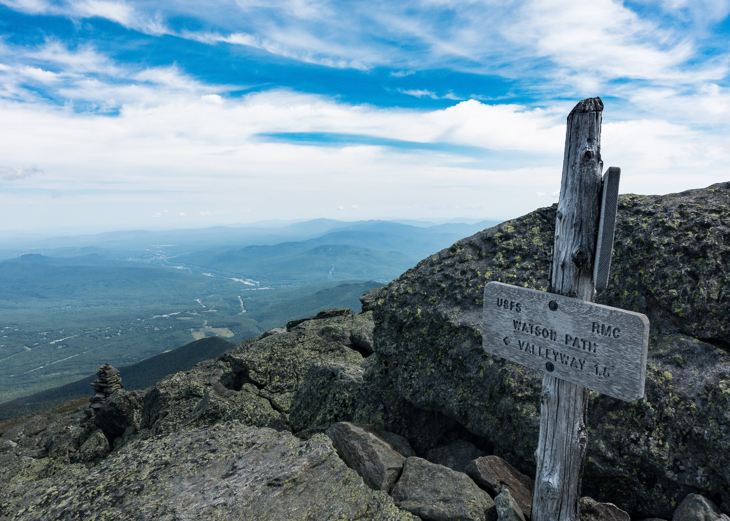
The Pemi Loop
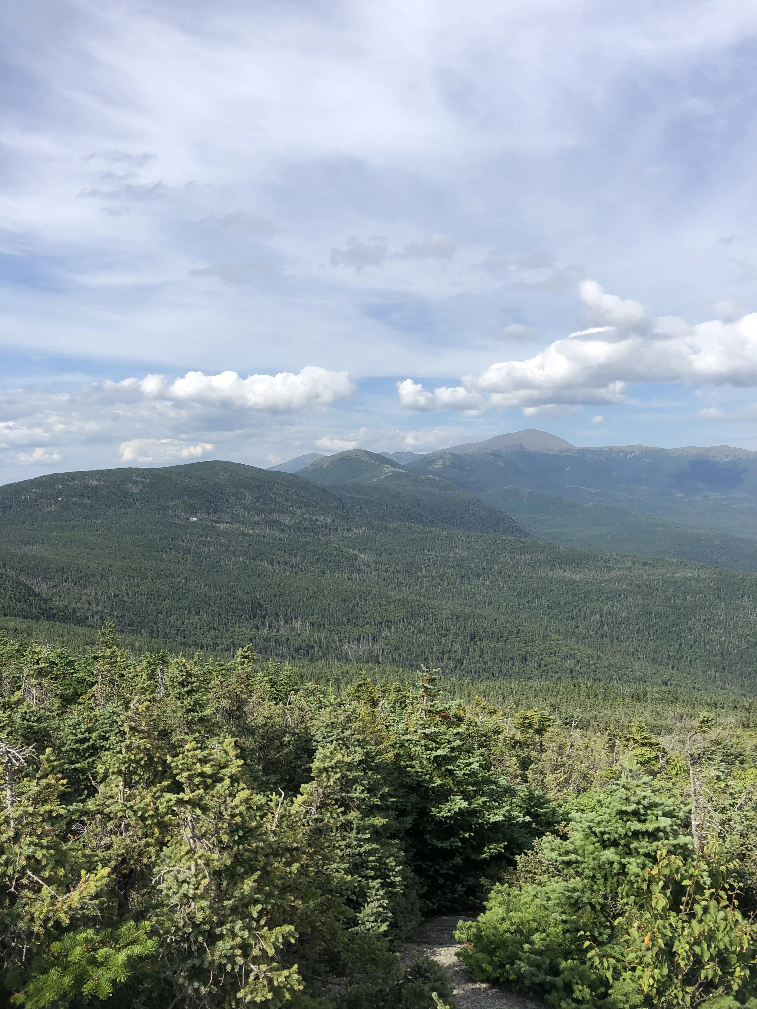
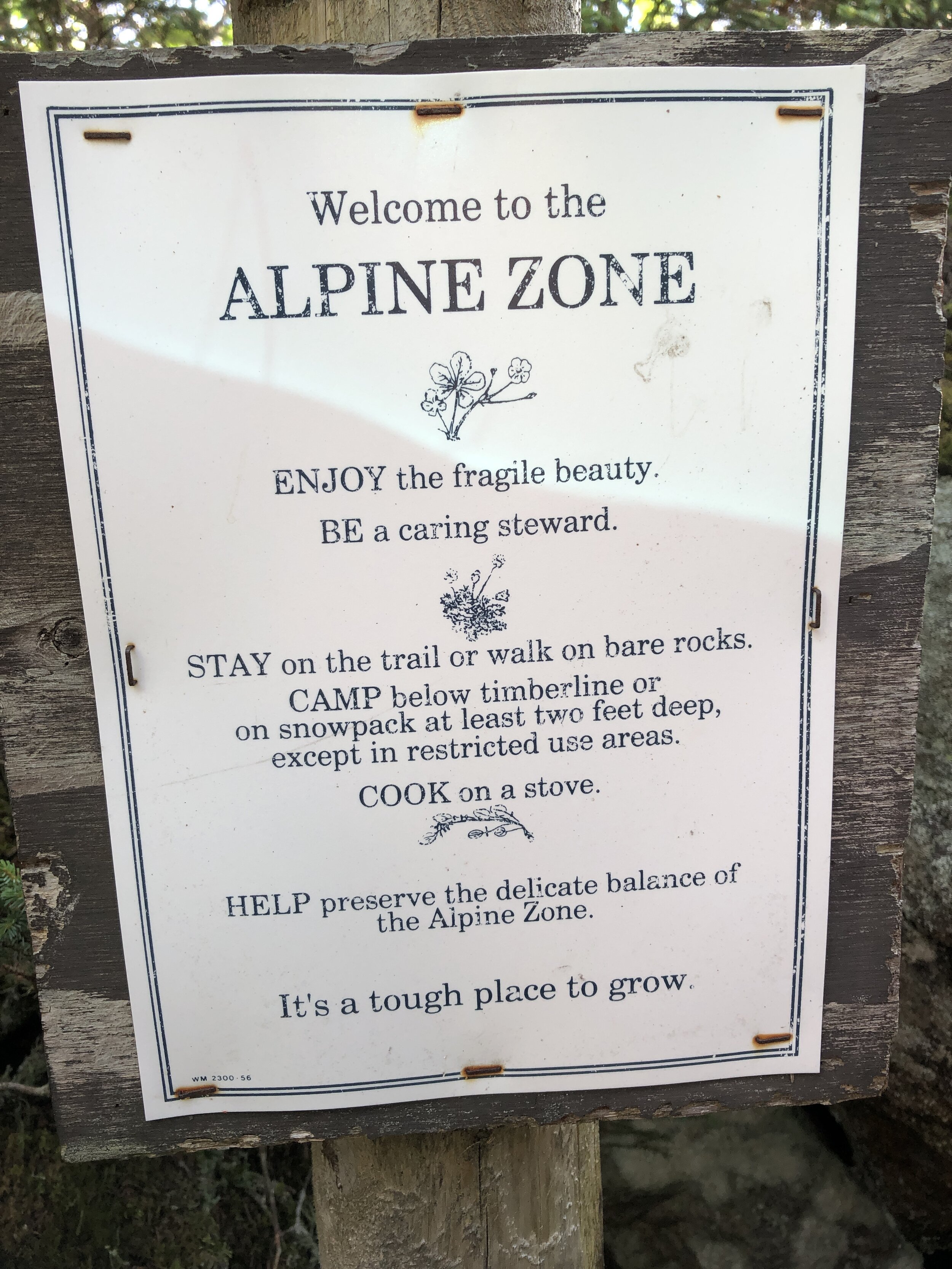
Possibly one of my favourite trails that I have had the pleasure to run along in the US so far. Sitting in the White Mountains and not far from Mt Washington this perfect loop is an epic challenge whether you run or hike. Sitting at 29 miles (47 km’s) and with almost 10,000ft (3,000m) of ascent including eight of the New Hampshire 48er’s above 4,000ft.

The Pemi Loop
After the Press Traverse we had a pretty casual day recovering with a mixture of good food, a couple of beers at Schillings Brewery in Littleton (link to the brewery is here, it was definitely a worthwhile stop!!) as well as a short run along a river for an evening dip. Once back at the house we spent a happy evening with our supplies spread out across the floor as we worked through all the bits of kit, food and water that we would need over the 10 - 15 hours that it might take to cover the 29 miles. The normal guide is that the hike should take 20 hours normally split over 2 to 4 days where as the fastest time currently sits at 5 hrs 27 mins, there are now records for double pemi loops, super pemi’s and completing 14 of the 4000er’s via the pemi loop. If you are interested check the records out on the link Pemi FKT.
After yet more food and an early ish night was in order for the early start the following morning.
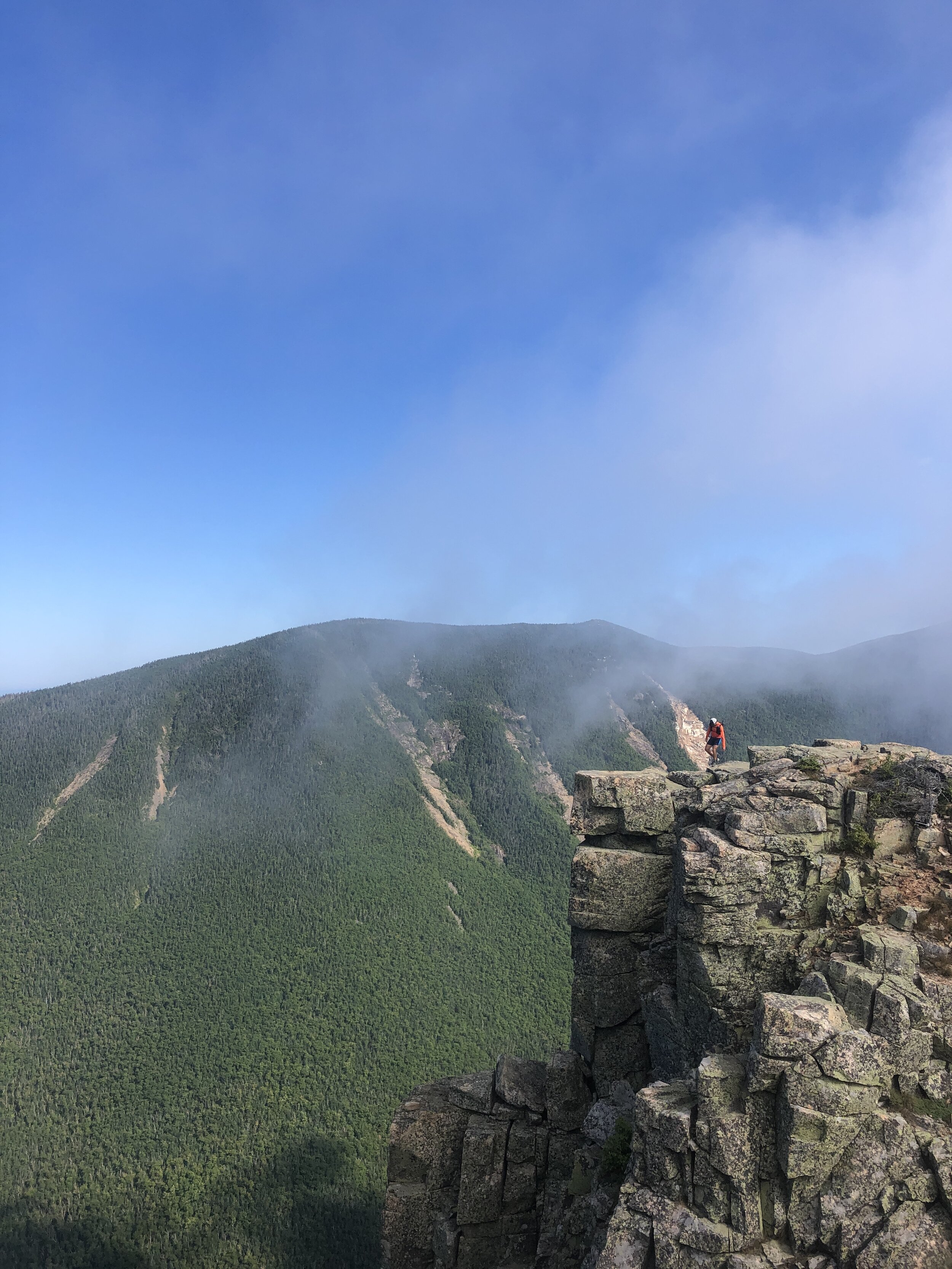
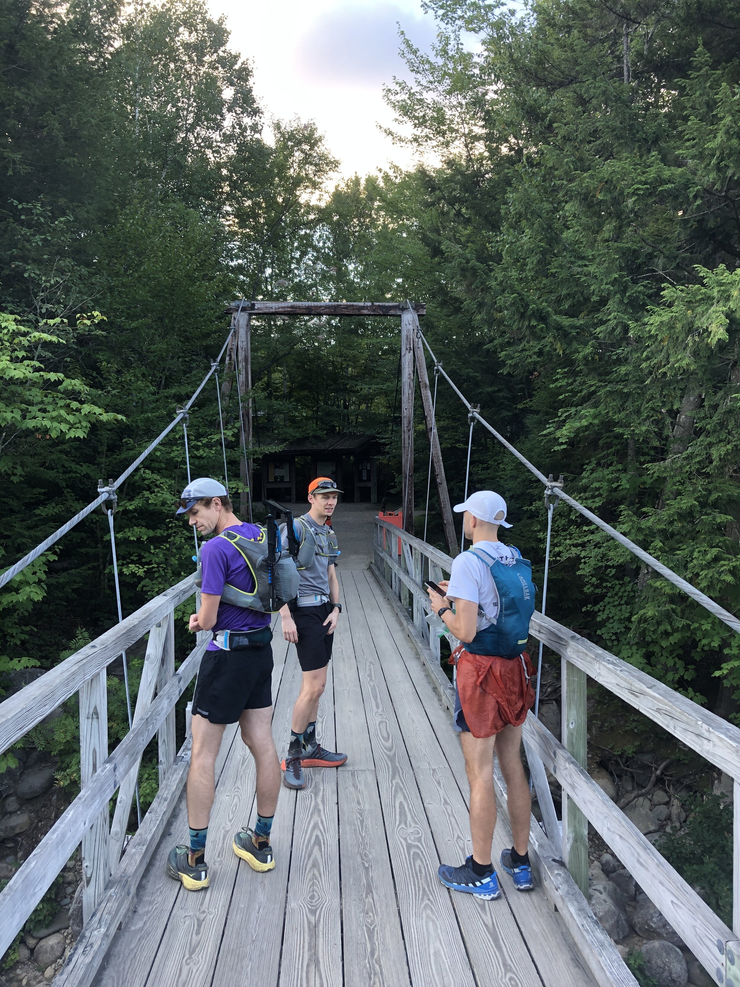
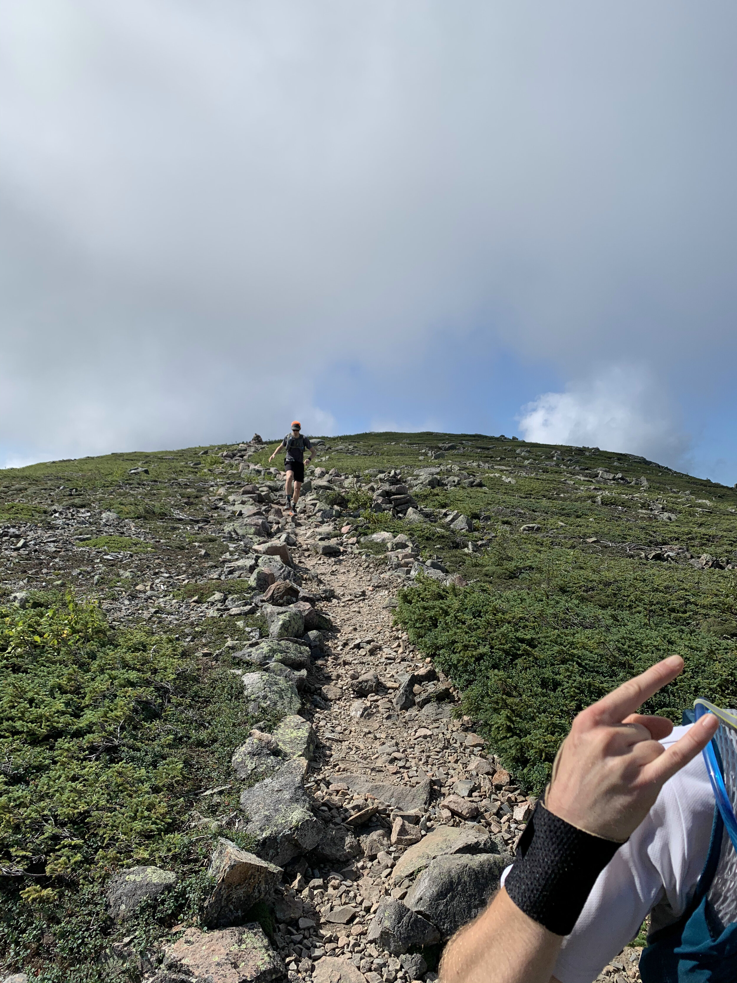
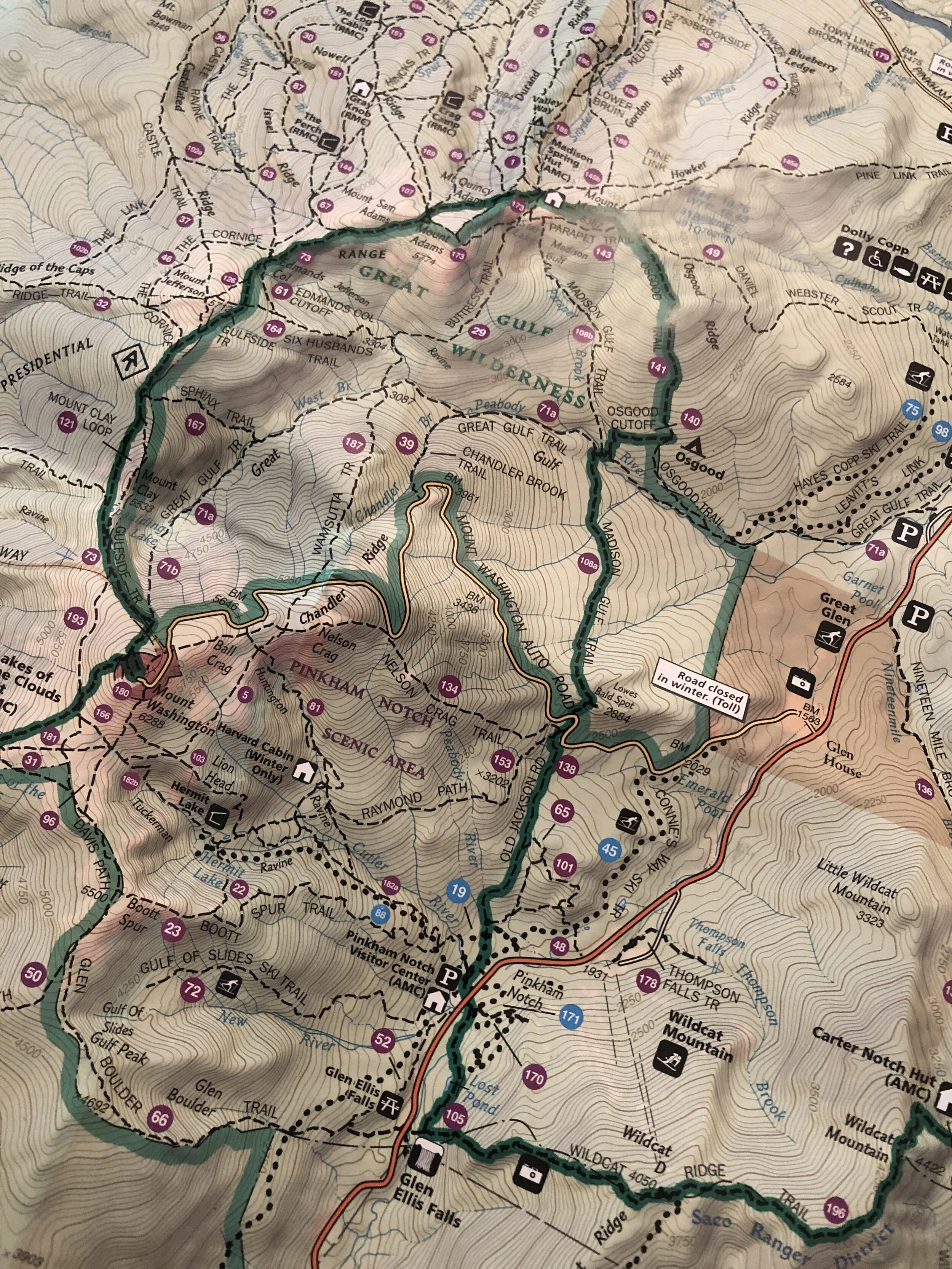
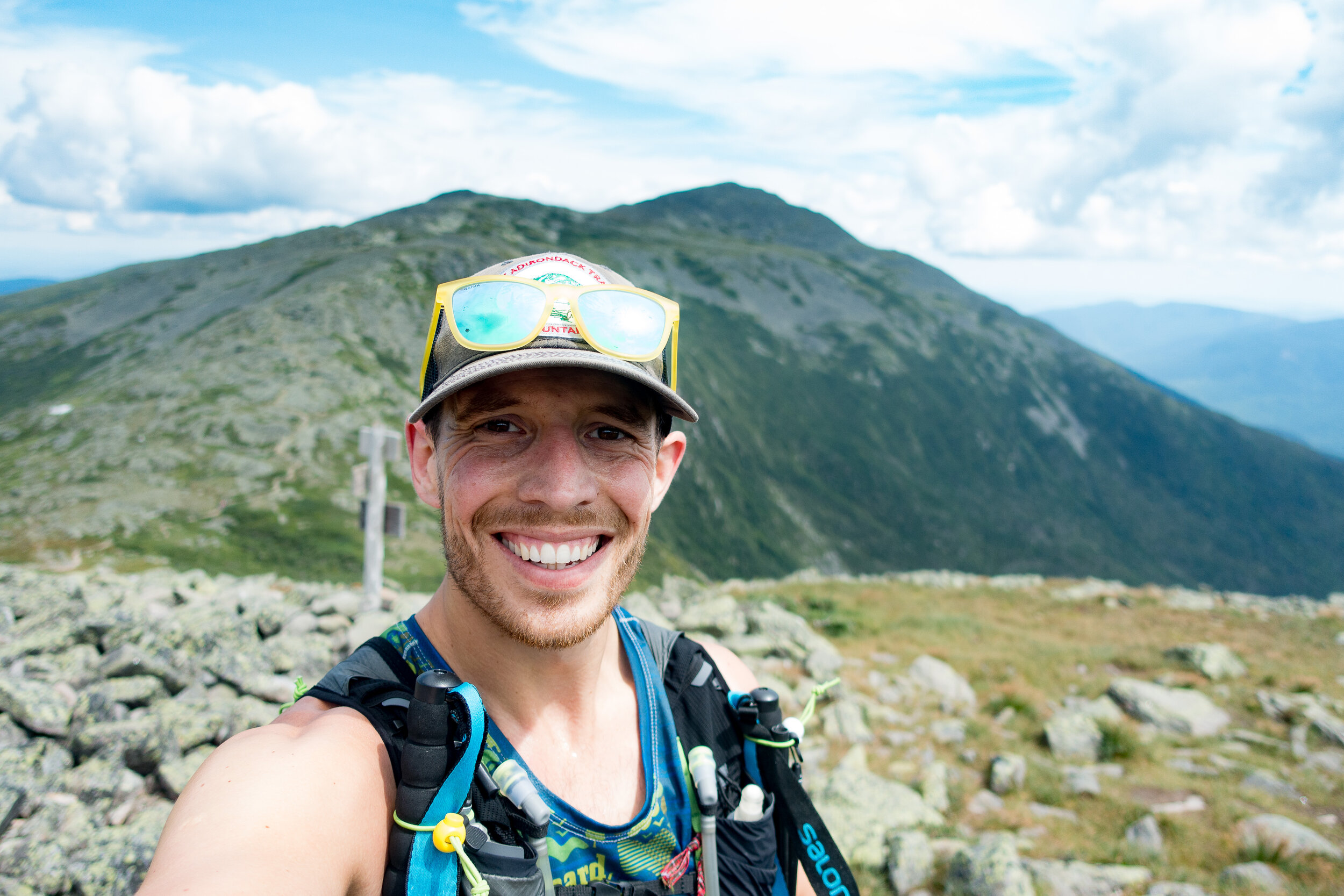
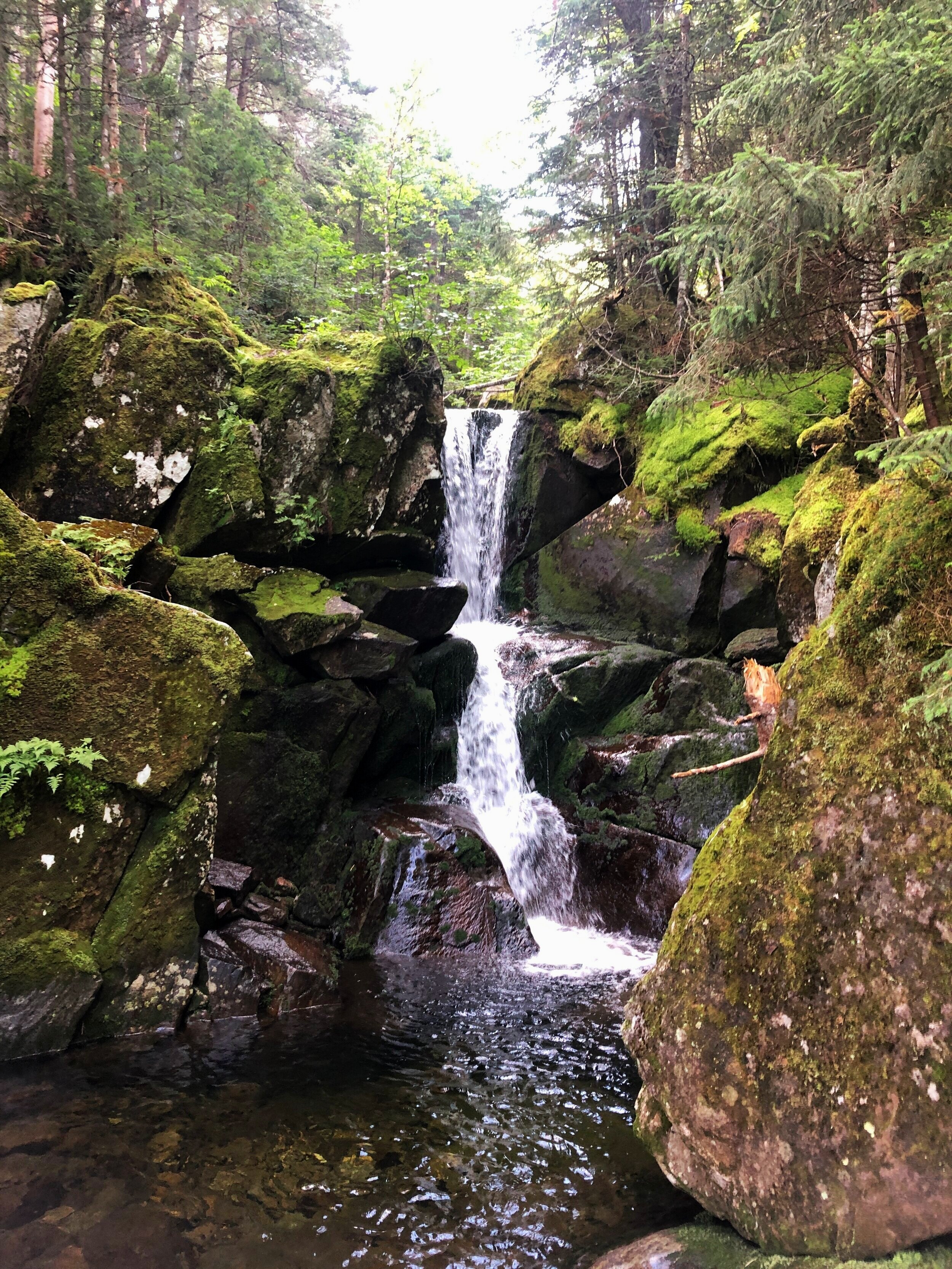
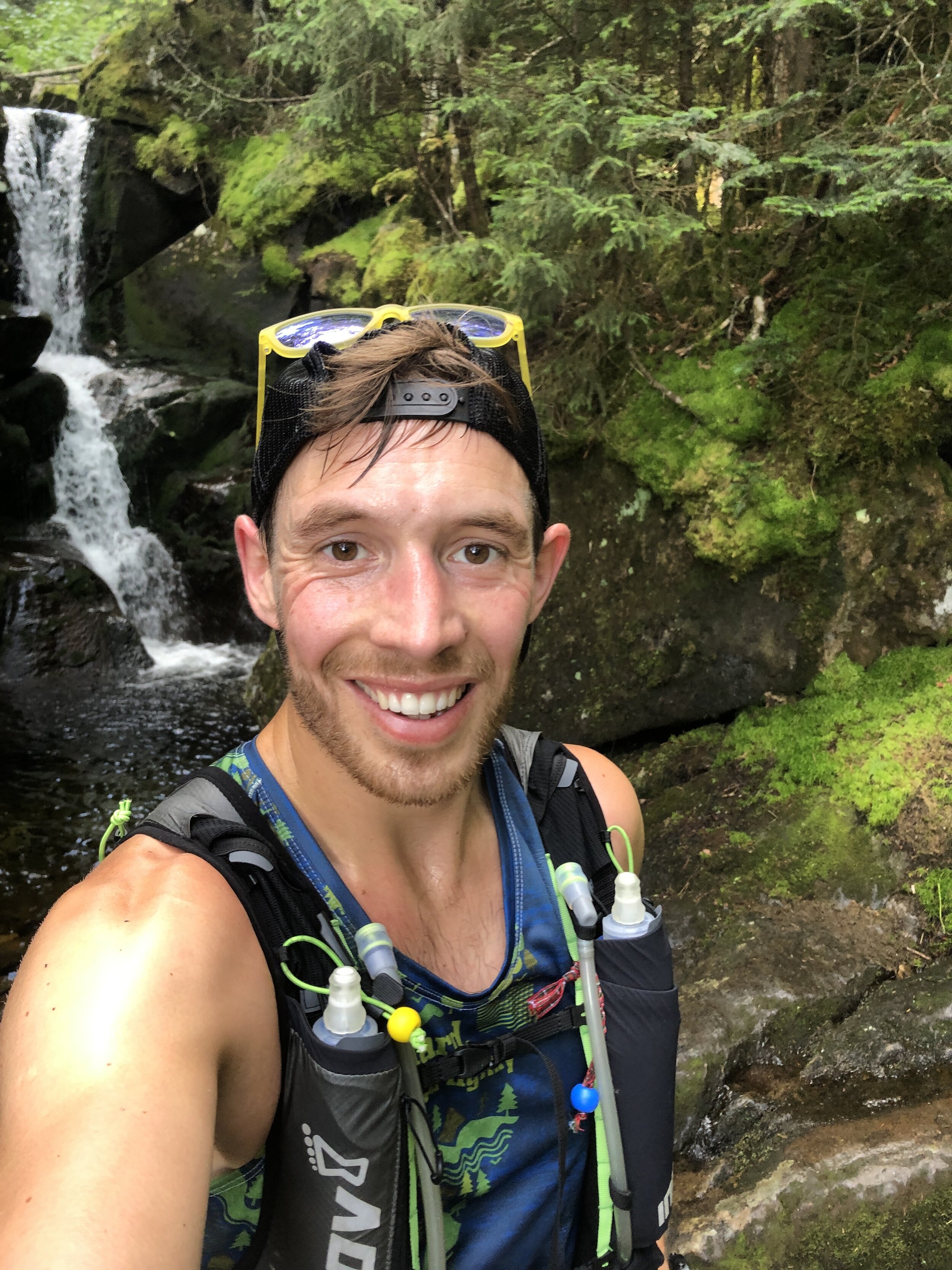
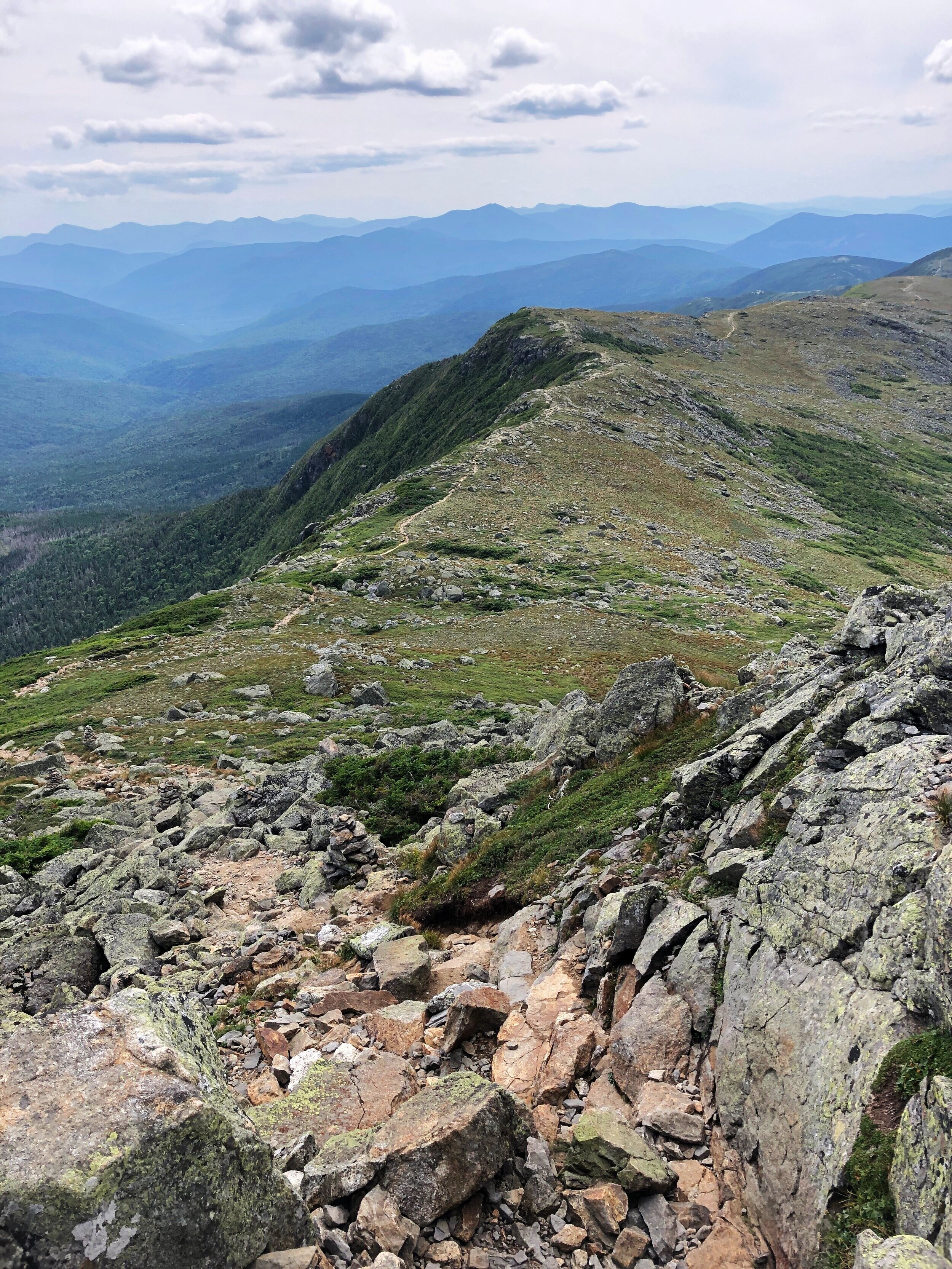
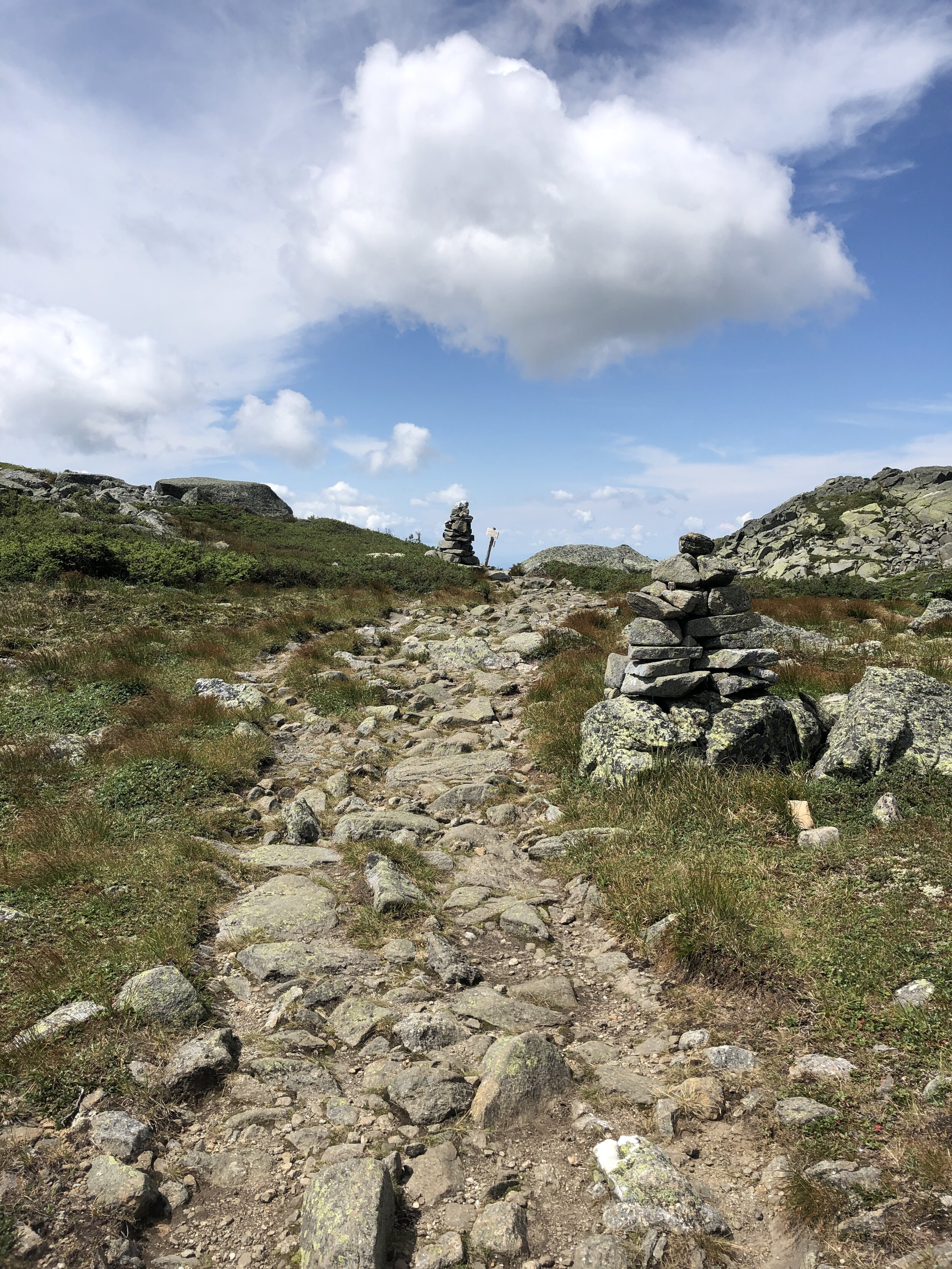
The plan was to reach the trail head around 7 am with us trying to maximise the amount of daylight on the trail. The first difficulty of the day was finding parking as despite our early arrival all the spaces were already filled along with a significant amount of parking going on up the main road. After a walk to the starting area we arrived at the bridge that marked the start of the trail, we took a few pictures before heading on up the trail. We were doing the route in reverse as we wanted to run what we thought to be the more challenging section out the way first. First up was a few miles of no climbing where we made quick progress dodging between groups headed along the pine covered trail, the scent of pine trees in the crisp morning air. The slightly bouncy surface felt like we could run for days on. The climb came to a rather abrupt beginning with a steep and rocky climb up into the mountains. Making progress bit by bit up the mountain towards the first summit of Bond Cliff standing at 4265ft ( 1300m) followed shortly afterwards by Mount Bond 4698ft (1432m). We arrived above the tree line to incredible views, blue skies and wispy clouds drifting over the summits. The views were mind blowing. One of our group made his way towards a cliff edge to check out the climbing potential. Some slightly wobbly runners legs making him think otherwise about going too close to the edge. First summit down and onto the next.

Our Start Line
History: Mount Bond (part of the trio of Bondcliff, West Bond and Mount Bound all of which are official 4000 footers) was named after Professor George Bond from Harvard University an astronomer who in 19th Century suggest the use of photography to measure a stars magnitude. He also surveyed the White Mountains.
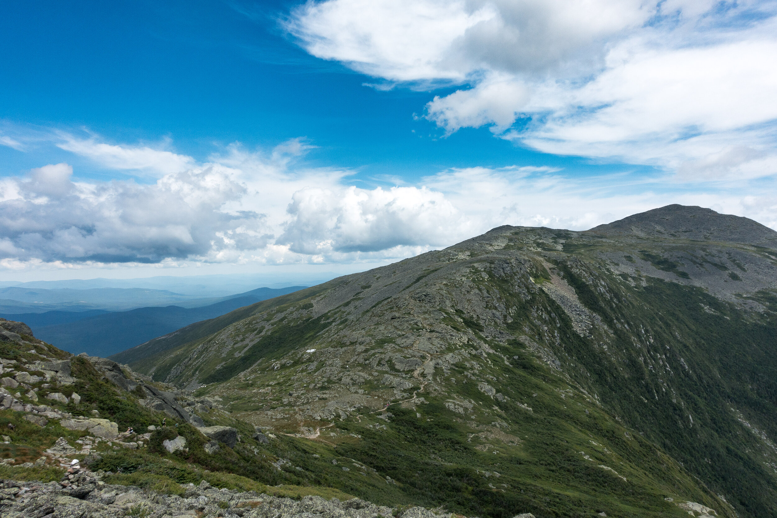
In comparison to the presidential traverse the trail was a beautifully carved out trail at this stage in the journey we moved along at a good pace as a group following the ridge line round the rim of this huge bowl all the while being able to see our final peak of the day. I have historically not enjoyed seeing the finishing point of a run but the spectacular views more than made up for the fact that the final summit teased us with our progress. Our pace ebbed and flowed with the difficulty of the terrain. The route skirted round Mount Guyot 4580ft (1396m), there was a bit of me that wanted to add these additional peaks onto the route for the day, I have since learnt about routes such as the super pemi that do. A tempting challenge for 2021.
History: The mountain is named after Professor H. Guyot from Princeton University who was a geologist and geographer. The mountain is not an official 4000 footer due to its height above the col to South Twin Mountain.
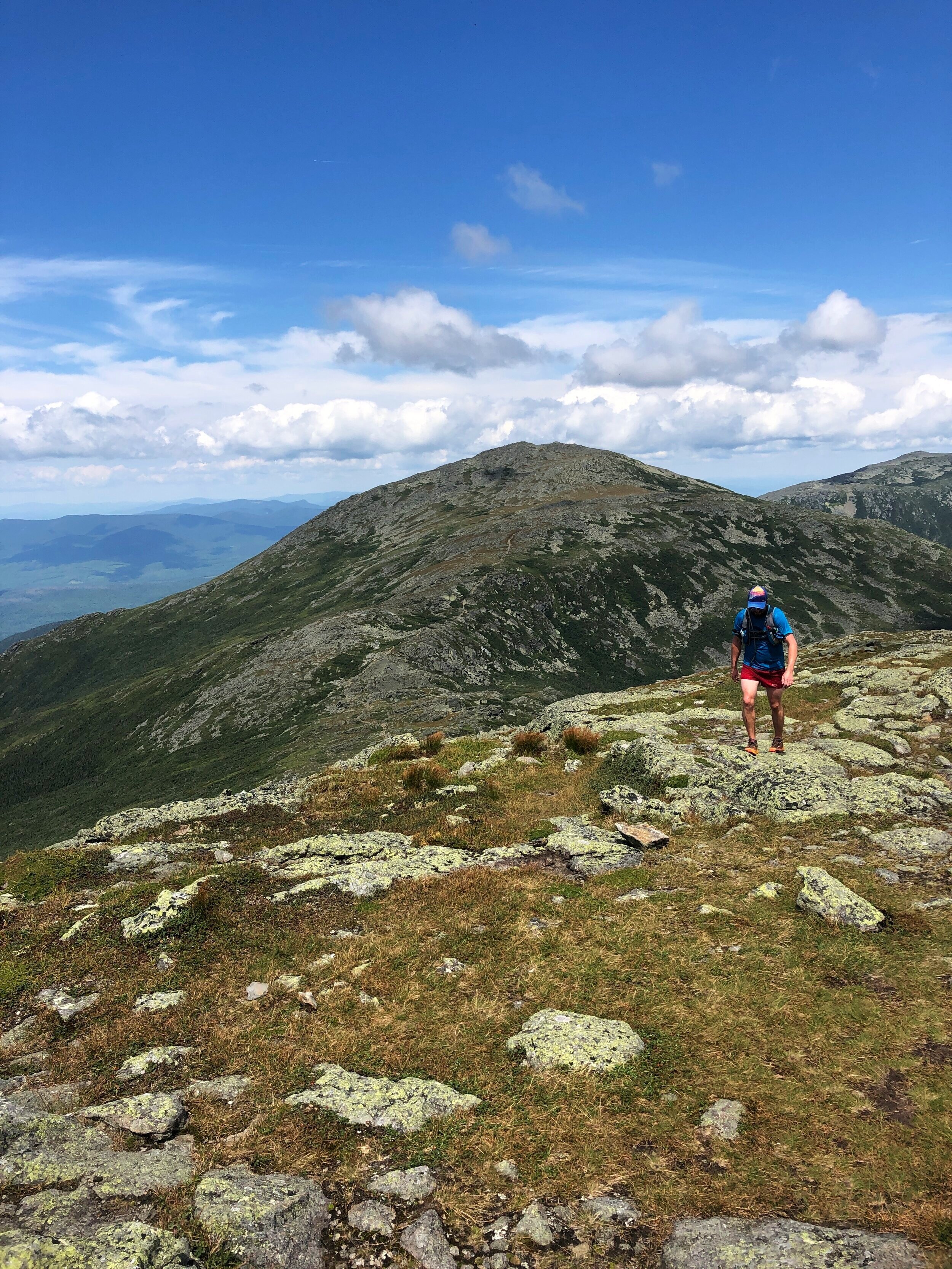
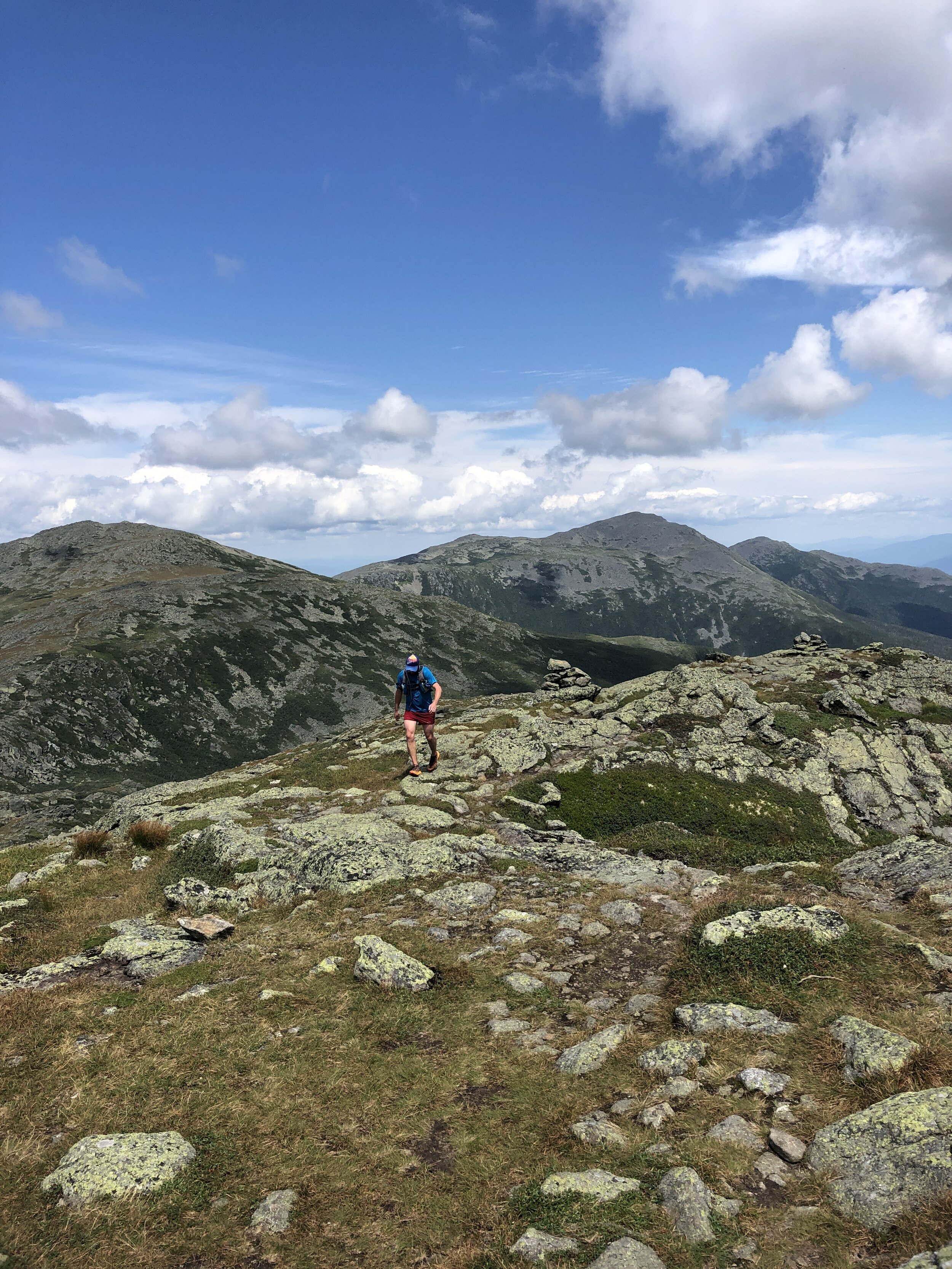
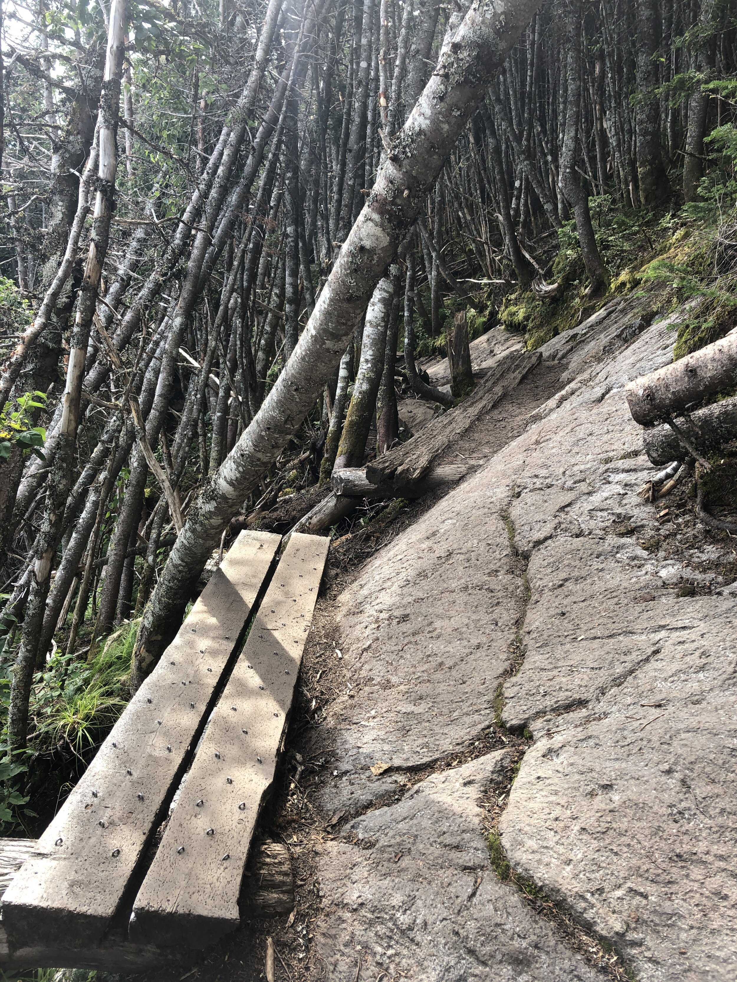
The next section was the make or break for the day with the route becoming more and more technical all the way to South Twin Mountain. Our pace slowed as we tried to be as delicate as possible hoping between rocks and roots. We started coming across more people who had been camping over night and beginning to make their way round the remainder of the trail. The thought of carrying a large pack on some of the terrain made me appreciate the light and fast approach we had taken. We were still making good progress and I was feeling really good despite having run the Presidential Traverse a couple of days before (you can read about that on this link ). We were also running as a larger group which made for a great run and at least for this first half everyone seemed to be happy with the speed and approach to sticking together.
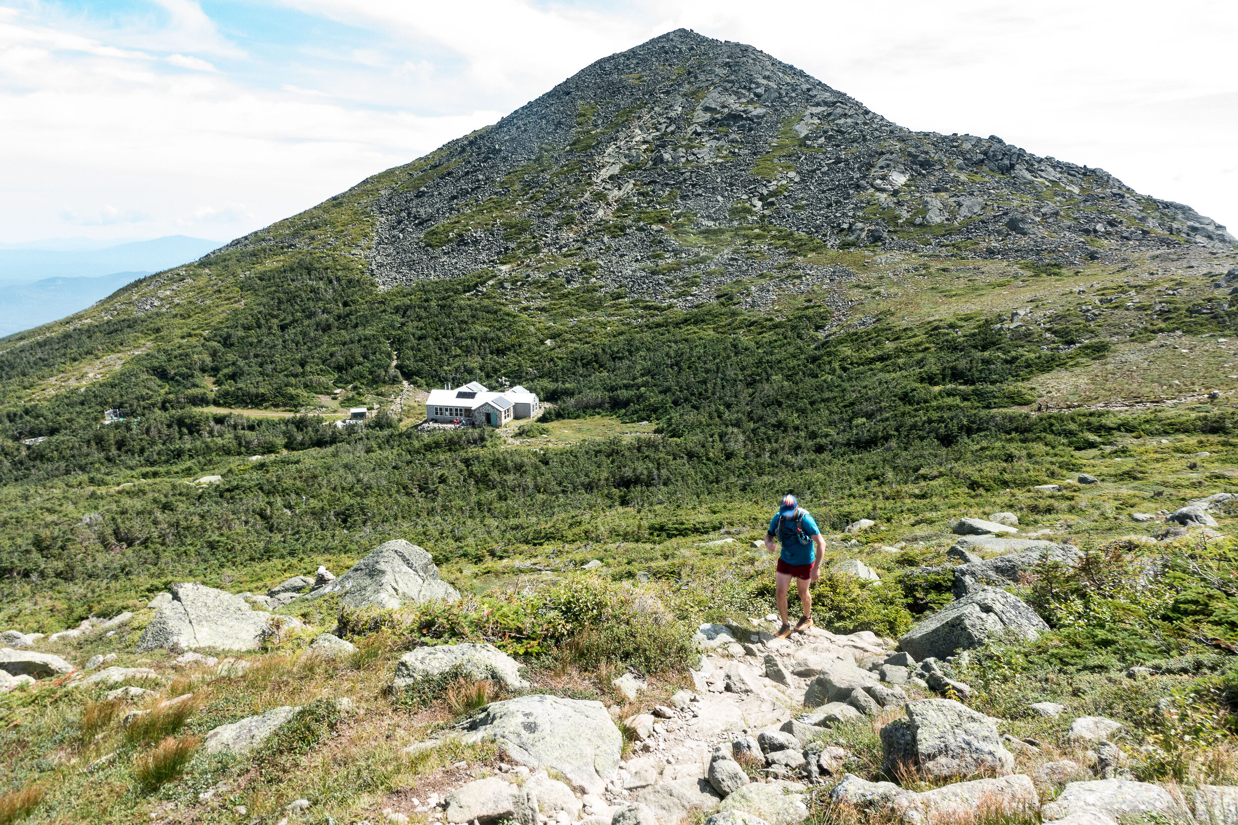
We reached the summit of South Twin Mountain 4902ft (1494m) but given the length of the day we didn’t pause for long and made the dash towards Gale Head hut.
Quick fact: South Twin Mountain sits on part of the Appalachian Trail that runs 2,170 miles from Georgia to Maine. I still have no idea how the likes of Karel Sabbe, Scott Jurek, Karl Meltzer, Joe McConaughy and Jennifer Pharr-Davis completed the route in under 50 days. Mind blowing the speed and endurance these athletes have.
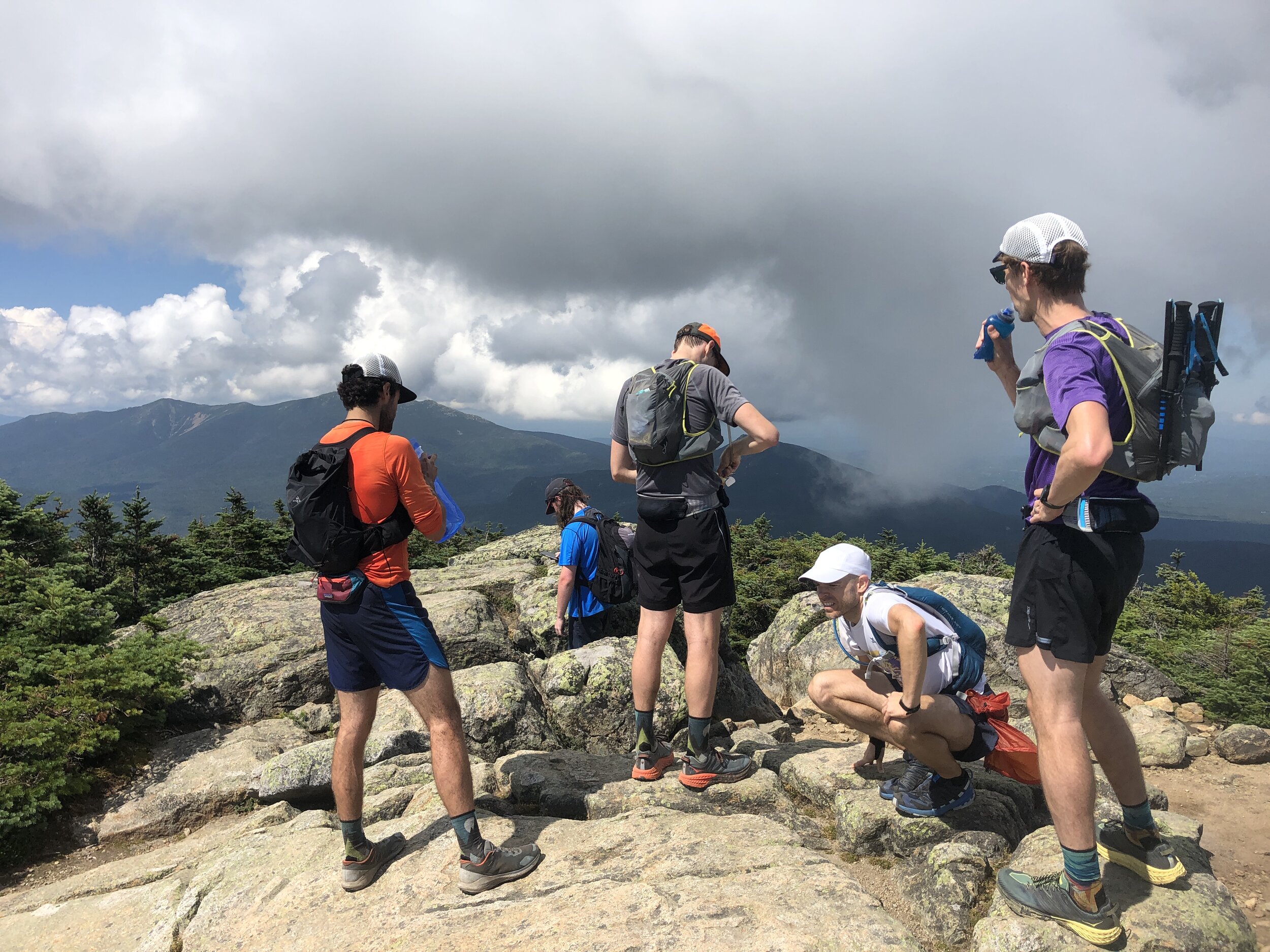
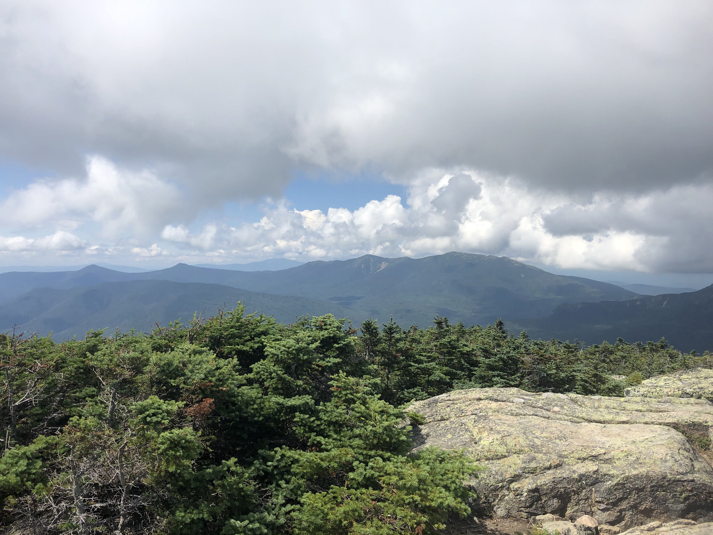
After this summit the route dropped down considerably towards the hut marking our midway point, it was here that the rocks and rugged terrain really took a bit of a toll on the team. I used the last of my water coming into the Gale head hut, perfect timing. We paused here surrounded by other runners and hikers topping up on food and water. Greg grabbed a burrito, I grabbed a brownie for the trail. Meanwhile some of the guys were patching up their feet for the second stage of our run. The sun was out and beamed down on us all as we sat soaking in the rays. It was time to head on and make the most the the day light as we all wanted to minimise risk of spending any time running in the dark. It was this second section where the groups pace differed a little and we naturally broke into two groups as the trail meandered up and down towards the next summit of Mount Garfield 4413 ft (1345m). It was here that the weather started to turn with clouds beginning to build all around us. We had been incredibly lucky with the weather so far on this trip and I was wondering what would be more pleasant sunshine or a touch of rain to cool us down as we ran along. I should have spent my time wishing for the sunshine!
Summit number four complete and now it was time to head onto Mount Lafayette 5249 ft (1600 m). It was here that the number of people out on the trail started to increase and the weather began to really turn. Clouds started to lower over the summits covering them in a veil and as we made our way up a number of false summits the wind and rain started to pick up. Donning jackets to stay slightly warmer, we made our way carefully up the rocky mountain. Behind and below us we were trying to pick out the coloured jackets from Andy and Greg but we couldn’t make them out and in the cold, wet weather we made the decision to continue a head on to stay as warm as possible. Making the summit and there were crowds of people, despite the relatively quite trails to this point the numbers of people were incredible as was the fact that many had minimal gear to deal with the now very different conditions to the beginning of the day.
History fact: Mt Lafayette is named after General Lafayette a french military hero who fought during the American Revolutionary war and was an aide to George Washington.
Next up was 3 rolling summits North Lincoln, Mount Lincoln and little Haystack Mountain, the three of us making good progress along the trail. And as the rain and wind started to albeit I could remove my jacket. All that remained was the final 2 peaks of the day. Mount liberty and Mount flume. We passed a few other runners along the way and as we arrived at the top of Mount Flume another group kindly took some photos of us before the descent to the finish.

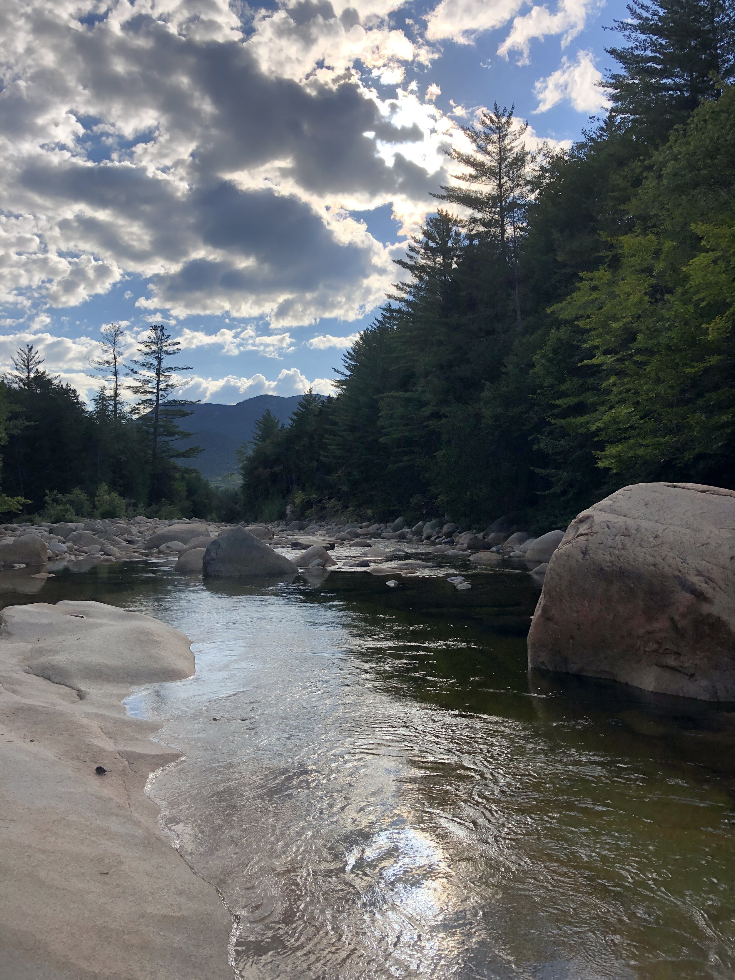
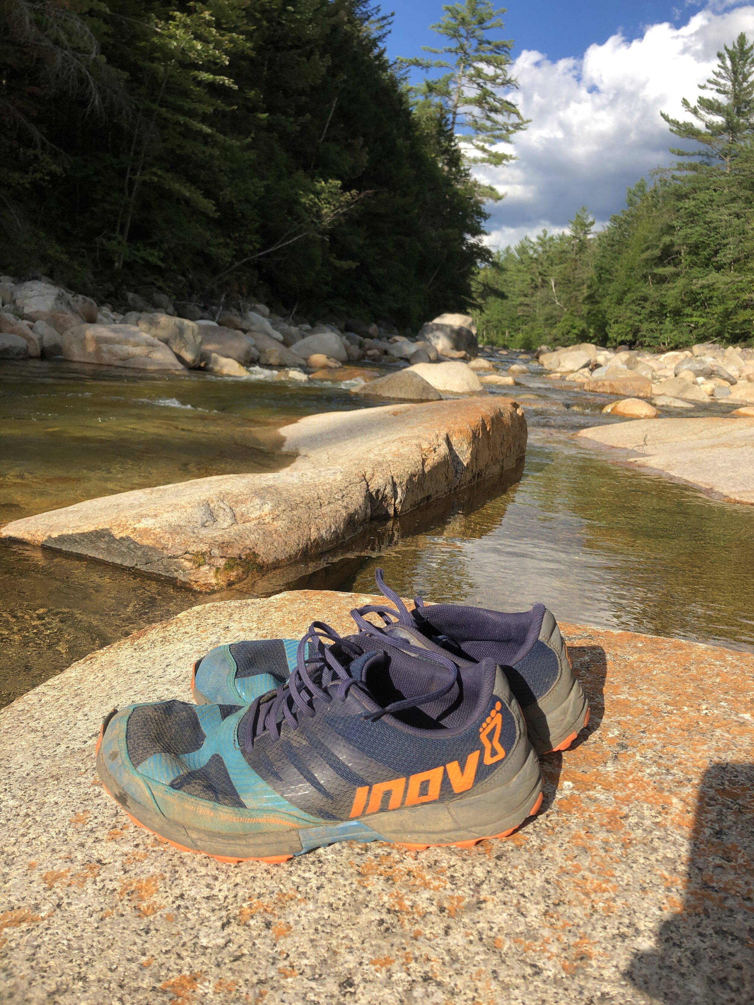
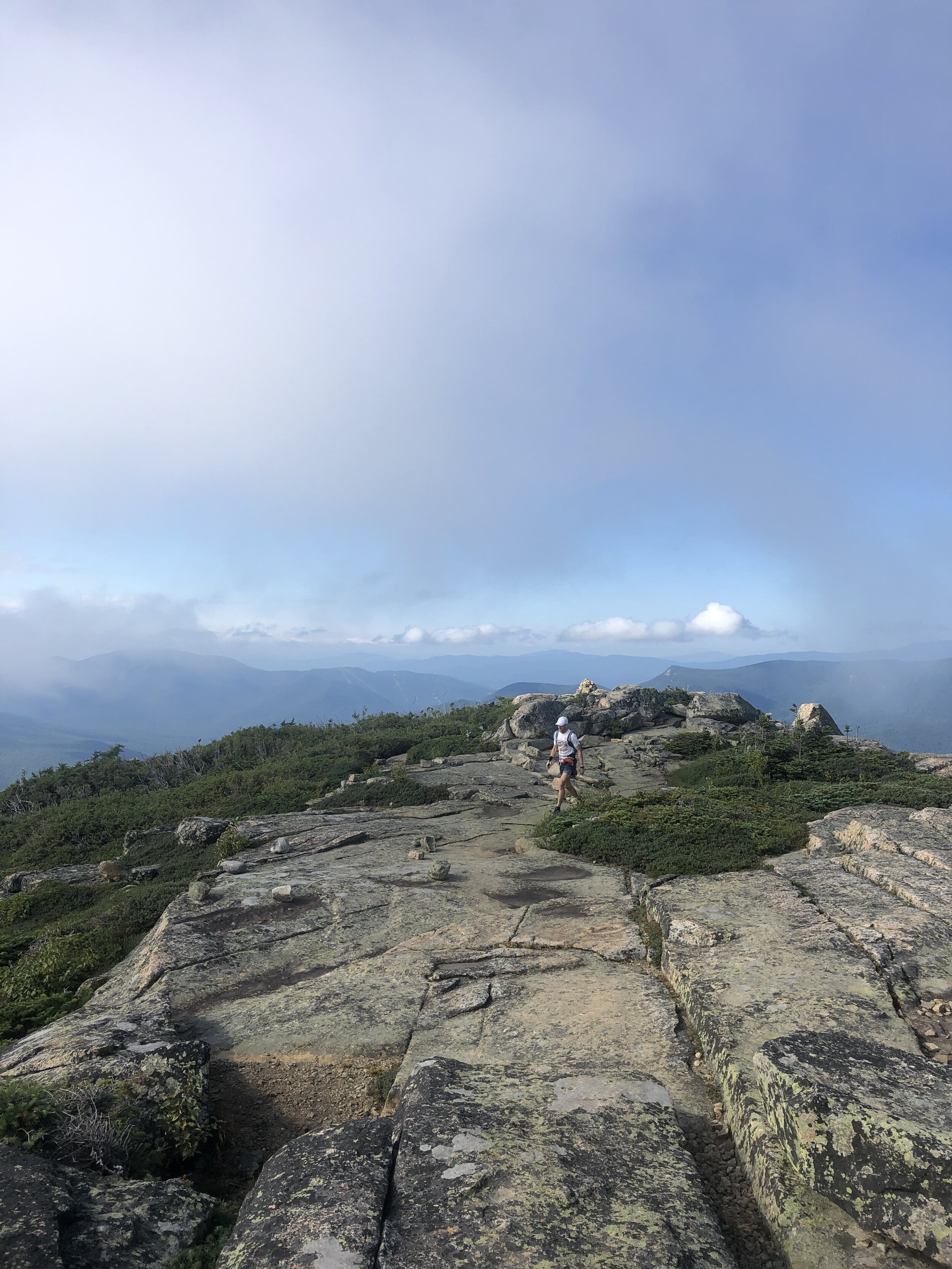
The final descent was certainly one of the highlights of the day. The trail for the most part felt like a perfectly designed trail carved for us down the mountain, our speed began to naturally pick up on the way down as we inched our way to the finish. Ever expecting the terrain to suddenly change and hamper our progress. Instead the trail became better and better all the way down. Broken up occasionally by some incredibly crafted wooden steps that covered the more challenging sections. The trail soon became a hard packed trail more similar to the one I experienced on the Pine to Palm last year (you can read about that experience here). The final couple of miles were pure elation running freely down the pine tree trails and then onto the hard packed route we initially ran on at the beginning towards the bridge and our finish line. Our pace kicking up a couple of notches for an almost sprint finish. Touching the bridge we had done it (watches stopped to capture the all important finishing time, as they say if its not on strava it didn’t happen….). All that was left was for us to bask in our glory whilst drinking a beer and soaking in the nearby stream.
Stats for the long weekend:
Days: 3
Distance covered: 56 miles
ascent: 20,000ft
NH 4000 footers completed: 16
The Presi Traverse
Distance travelled: 20.08 miles
Altitude climbed: 9,469 ft
Total Time: 8hr 7mins
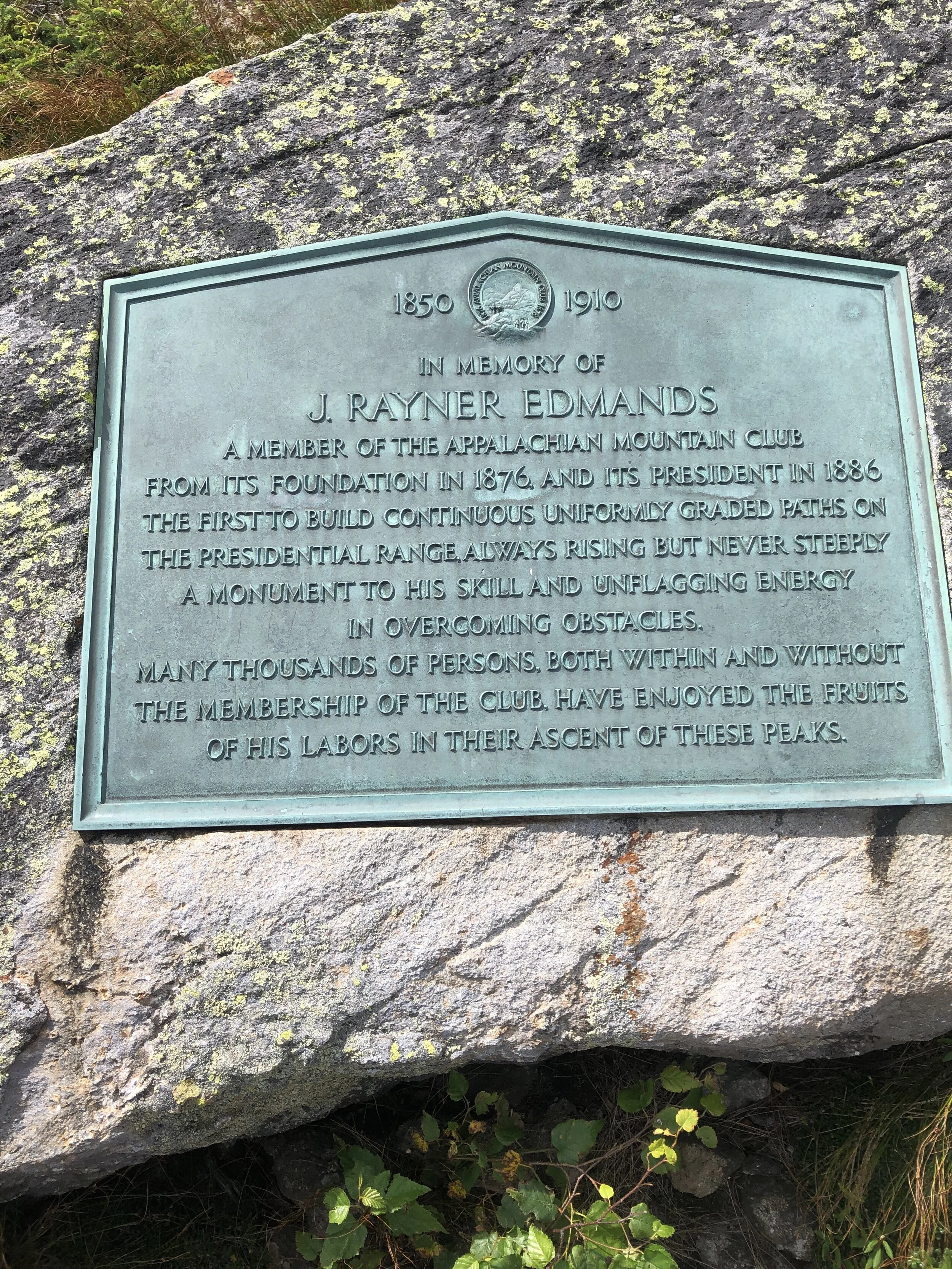
When I arrived in the US 4 years ago I first experienced the wonders of New Hampshire on a cold winters day when I joined the Appalachian Mountain Club for a day skiing trip on the Cog track on Mt Washington. On a side note I would highly recommend joining the Appalachian Mountain Club if you are ever in the North East. My first day with them was especially memorable (link Skiing on Mt Washington) as I had made a very school boy error in forgetting my goggles. My eyelashes froze on the ski down, not convenient.

The Presi Traverse
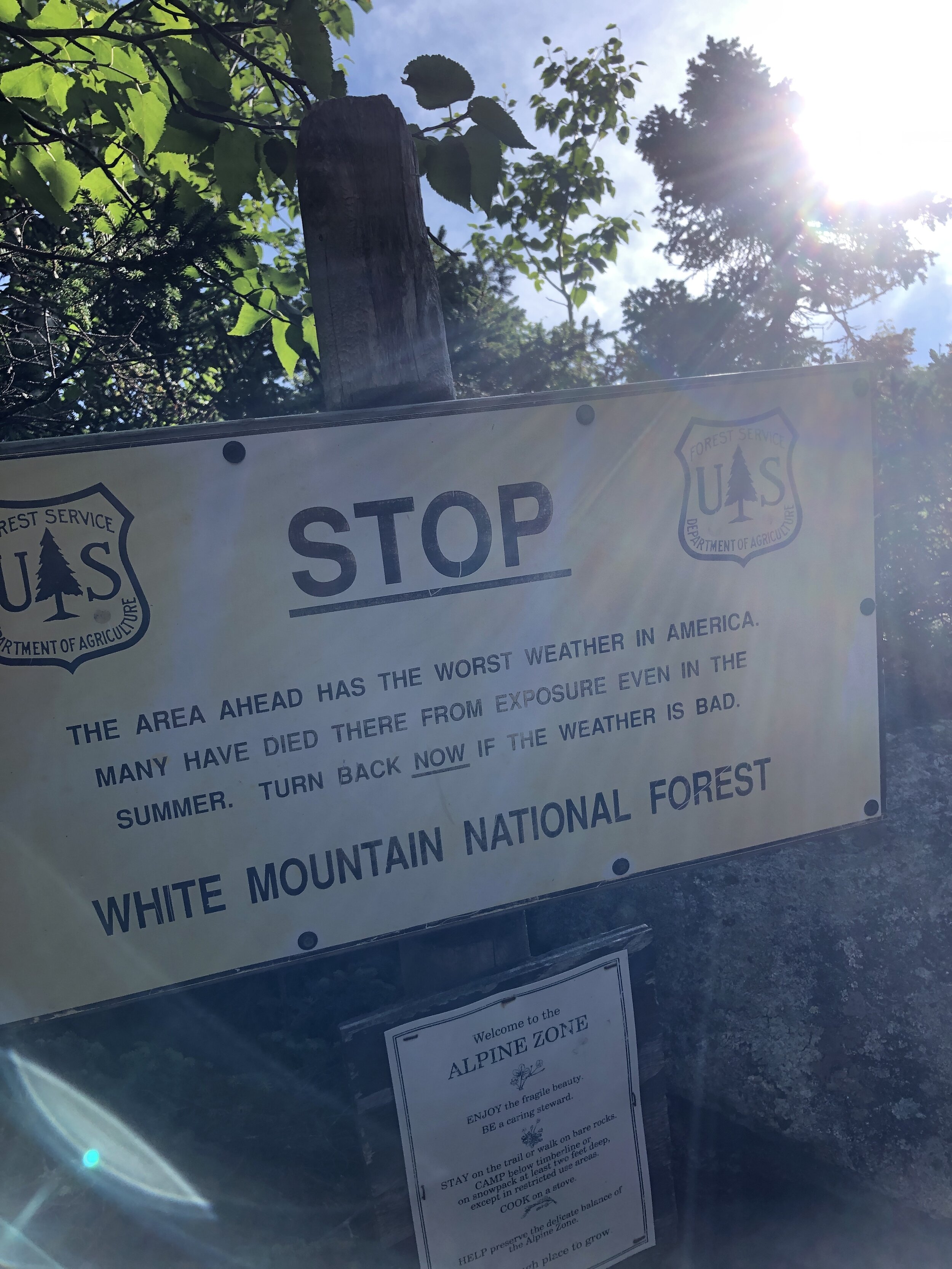
Ever since my first visit to New Hampshire I had been wanting to do a winter and summer trek to the summit of Mt Washington. A place renowned for the highest recorded wind speed on earth outside of a tropical storm. I had heard about an epic running challenge where you traverse length of a ridge line following what’s called the Presidential traverse. At 23 miles (37km) and 9,000 feet of gain (2,700m) it's not for the faint hearted and is rated as one of the toughest running/hiking routes in the north east of the US.
TOP TIP: learn the US President's names and who each peak is officially named after to make sure you don’t accidentally run an extra peak. ***Hint*** Clay is not a former US President. And Mt Jackson isn’t named after former US president Andrew Jackson. I learnt that at the finish when my friends wondered where I had got to.
My opportunity to run the Presidential Traverse came when a friend invited me on a long weekend running trip in New Hampshire with a bunch of his buddies. Of course I said YES!! immediately.
First was the journey up to New Hampshire. It was meant to be a fairly mundane day. I was feeling a little under the weather (having fainted in the morning, long story…) and was not looking forward to a long drive up to New Hampshire. I ride shared with one other up to my friend’s house in Beacon NY where we pit-stopped for lunch, burritos! They hit the spot. I was finally beginning to feel normal by the time I finished my second.
After a fairly decent drive we arrived to yet more food - despite not having run yet I was beginning to eat as if I had done a few days of ultras. Let’s call it pre-run prep. The evening was spent munching pizza, assessing the route and packing our bags. There was of course a bit of beer drunk and lots of chatter about how quickly we might be able to run the Traverse.
After the rough morning, the long drive and packing of our equipment However I was too excited to sleep, I tossed and turned through the night until my alarm finally signaled morning. I munched some cold oats and cold brew whilst watching some of the guys working on brewing the perfect batch of drip coffee before hitting the road.
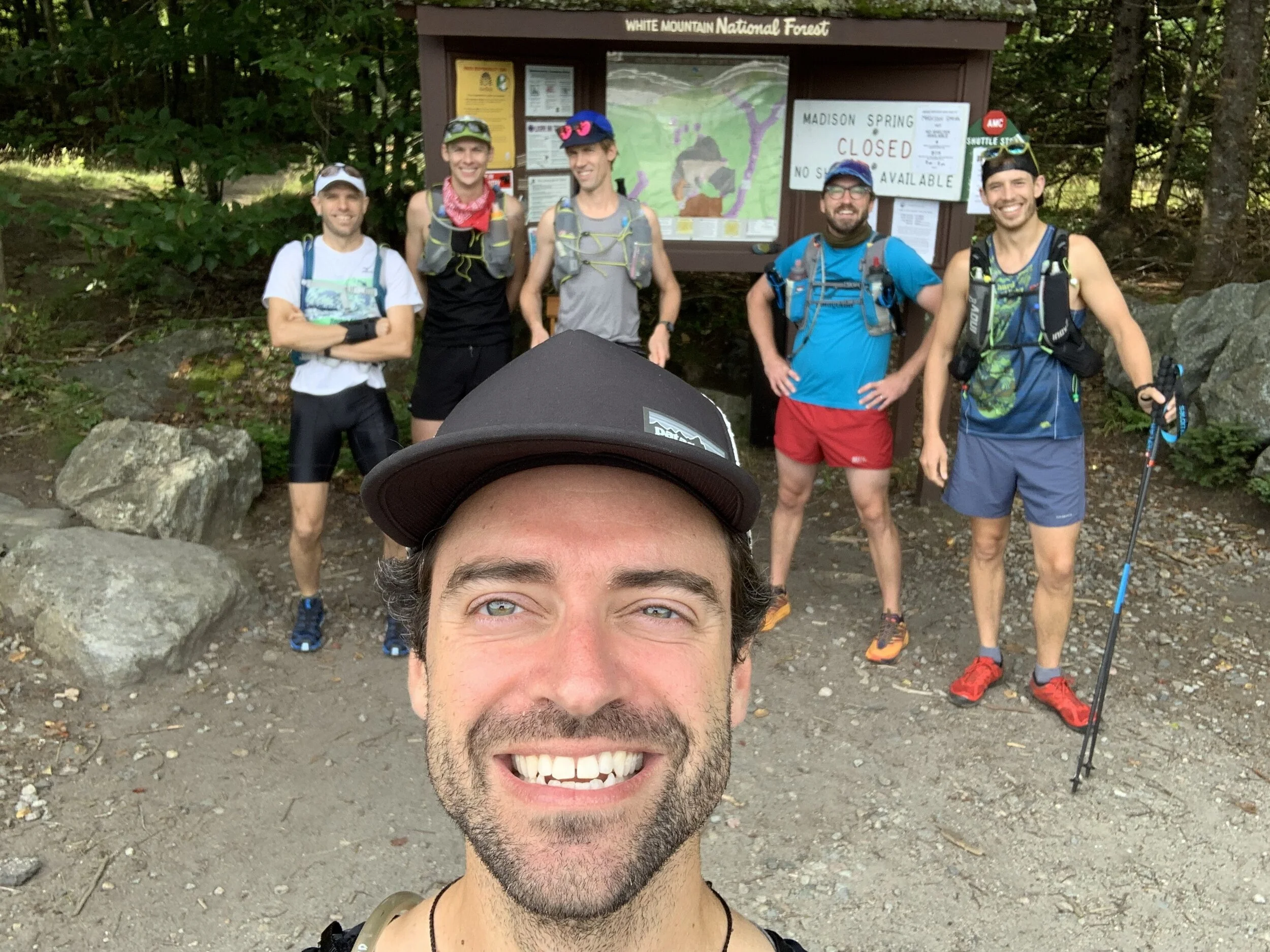
The crew
We dropped a car at the end point before heading back to the start as a group and ready to rock. A quick pee stop, a final drink, photo and it was time to hit the trail.
It has been a long time since I ran in a group that was not part of a race. I was envisioning our small tribe heading along the wooded trail. The trail started relatively flat and untechnical before kicking up the gears. The group soon dispersed and the poles I had taken out were also stashed away as the trail turned to more of a rock scramble heading up Mt Madison (5,367ft, 1,636m). Despite the early start and the mild temperatures I was beginning to heat up quickly. I climbed higher until I slowly made my way out of the tree line. And then it was onto a large boulder field heading directly to the summit. Hopping from boulder to boulder all the while keeping an eye on the cairns that marked the route that snaked its way up to the summit. I tried not to peek at the incredible view before reaching the top. Mt Madison down, 7 more to go! (or so I thought...)
History lesson: Mt Madison was named after James Madison, 4th US President from 1809 to 1817. According to Wiki He is hailed as the “Father of the Constitution” for his pivotal role in drafting and promoting the Constitution of the United States.
From here the route was laid out in front of us, I could see a few peaks ahead before the pinnacle of Mt Washington sitting high above all the others waiting for our arrival. I could make out one of our group just a head of me as I scrambled down. He had come up a quicker route and already made the summit before heading back down a bit to Madison Spring hut to fill up some water. I grabbed a couple of cups of water and together we headed on.
Up we climbed, munching on yet more food - breakfast number 2 or maybe 3 of the day. There wasn’t a huge amount of other people moving about on the mountains at this point allowing us to move freely along the trail.
Soon we reached the second peak of the day, Mt Adams (5,735ft, 1,748m). A quick photo and slightly less time admiring the views and on to the next peak.
History lesson: Mt Adams is named after John Adams, second US President from 1797 to 1801. John Adams was a leader of the American Revolution that achieved independence from Great Britain, and he served as the first vice-president of the US.
After the second peak I slowly edged ahead of my running buddy, trying to catch up with a few of the lads further ahead although I anticipated them being considerably further a head. I ticked off Mt Jefferson (5,659ft, 1,725m) and Mt Clay (5,525ft, 1,684m). Mt Clay was an addition to the “basic” 7 peaks of the Presidential Traverse, what can I say, these lads like a challenge! But it was Mt Washington I was looking forward to, it felt like the pinnacle of the route with everything after it being kind of downhill (or at least less of a climb).
History lesson: Mt Jefferson is named after Thomas Jefferson, third US President from 1801 to 1809. Interesting fact from the Washington Post; instead of having “former US President” inscribed on his grave he chose “Author of the Declaration of Independence, of the Statue of Virginia for religious freedom and Father of the University of Virginia”. Mt Clay is named after Henry Clay, 19th century senator and US Secretary of State from Kentucky - not a US President. But an official peak of the Presidential Traverse nonetheless.

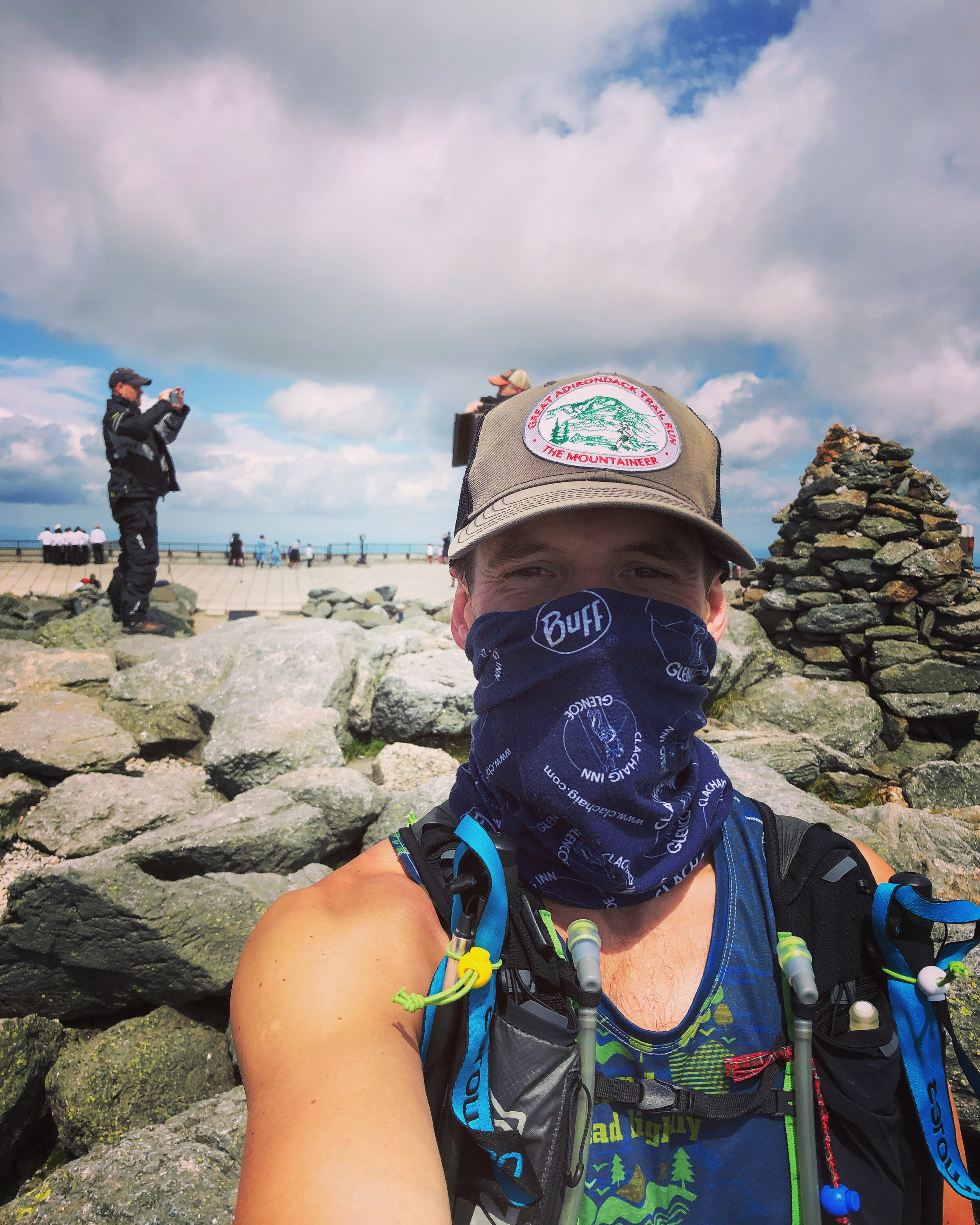
In front of us we could make out the line of cars driving to the summit and the cog train. The track was well trodden allowing for some good progress prior to a small boulder field near the summit. Arriving at the top we joined crowds of people, motorbikes, cars and a queue to stand by the sign marking the peak of Mt Washington (6,288ft, 1,917m).
History lesson: Mt Washington is named after George Washington the first US President 1789-1797. Random fact from The History Channel; “Washington wasn’t just America’s first president, he was also its first mule breeder.
I lost the Shaun amongst the crowds on Mt Washington so I headed on down as quickly as possible. With my buff pulled over my face (thanks COVID) I ran down the perfectly laid stone path towards the "Lakes of the Clouds" hut to resupply. The hut is operated by the Appalachian Mountain Club - thanks guys! A quick water stop and I was on my way.
I was up and over Mt Monroe (5,372ft, 1,637m), the 6th peak of the day, by about 2pm.
History lesson: Mt Monroe is named after James Monroe, fifth US President from 1817 to 1825. When Monroe was James Madison’s secretary of state he bought Florida from Spain for about $5 million.
I headed onwards to Mt Eisenhower (4,760ft, 1,450m), my 7th peak, I was pretty sure I only had one left. Looking at the route I had plotted on my phone there appeared to be two more. The rough and technical terrain was starting to take its toll.
History lesson: Mt Eisenhower is named after Dwight Eisenhower, 34th US President from 1953 to 1961. Eisenhower was apparently the first US President to ride in a helicopter!
Ahead of me I could see a little peak, Mt Pierce (4,291ft, 1,308m) sitting above the trees as I headed along the path. I reached the top knackered and and couldn’t quite believe that there was still one peak to go.
History Lesson: Mt Pierce is named after Franklin Pierce, 14th US President from 1853 to 1857. Wiki notes; Pierce is regularly ranked as one of the worst US Presidents - hopefully in part due to his alienation of anti-slavery groups and enforcement of the Fugitive Slave Act.
Then onto my final peak and 9th, Mt Jackson.
History Lesson: This peak wasn’t named after former US President Andrew Jackson who was the seventh US President from 1829 to 1837. It was instead named after Charles Thomas Jackson who served as State Geologist for New Hampshire, Maine and Rhode Island in the late 19th century. Charles Thomas Jackson is remembered by many for his involvement in a series of bitter conflicts that followed a pattern; a discovery would be announced by someone, Jackson would then claim prior discovery, and a controversy would ensue. Among the conflicts were the discover of guncotton, the telegraph, the digestive action of the stomach and the anesthetic effects of ether.
In short Jackson was a fraud (both the mountain and apparently Charles) - this mountain tricked me into believing it was a former US President when I was at my most exhausted.
A few hikers at the top told me there was about a 30 - 45 min trip down to the parking lot. The initial part was straight down a rocky scrambly route. It felt like a fairly brutal section to finish on. Slowly but surely I started to hear the road up ahead and popped out of the trees all of a sudden to see the rest of the group waiting. It turned out that I added a decent amount of distance to the Presi traverse.
I was delighted to have completed the route and to be finished as I washed down my run with a cold beer and some pickles.
A Big Run
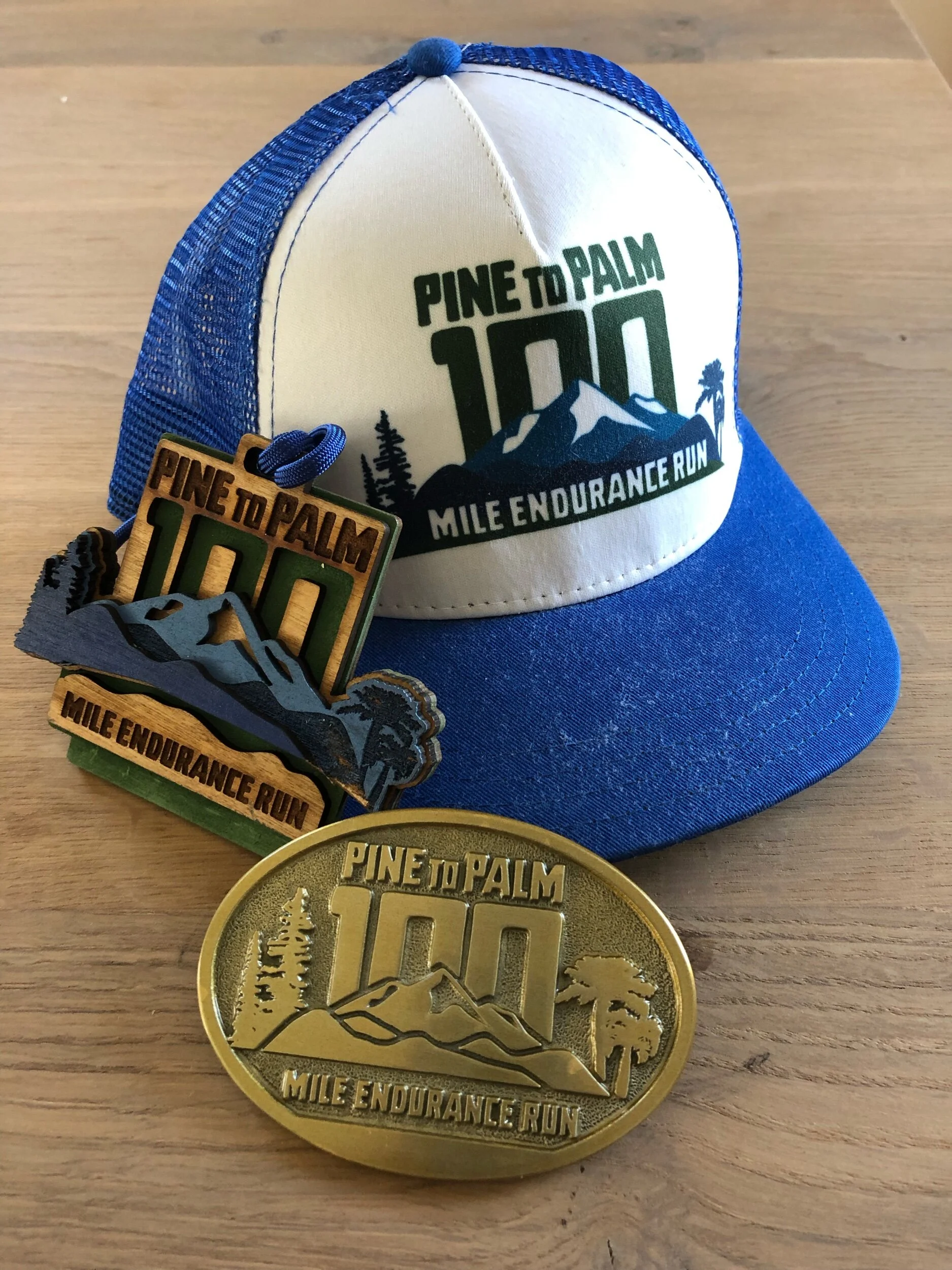
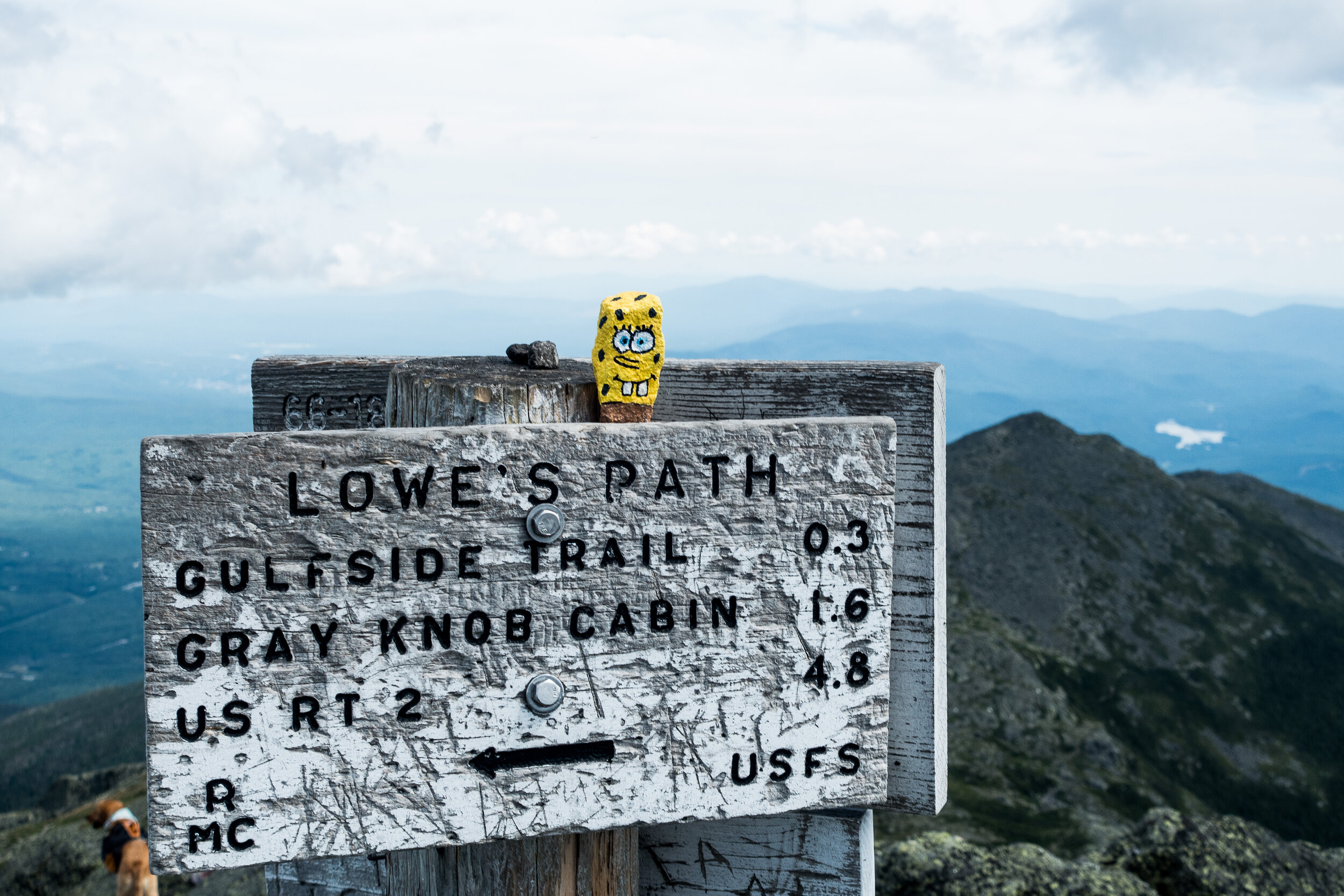
THE NEW YORK APPALACHIAN TRAIL
October is Domestic Violence Awareness Month. Domestic violence is a global epidemic that continues to quietly plague our homes, getting lost in the noise of the daily news cycle, especially during the COVID-19 crisis. Greg (Benno’s trail running partner) felt that he had a responsibility to raise awareness and discuss domestic violence issues, just as the white populous has an increased awareness to discuss racial issues.
A BIG RUN - RAISING AWARENESS FOR DOMESTIC VIOLENCE
Text donation: You can also text (202) 858-1233 and enter “abigrun” to pay via Venmo, Paypal, or credit card.
Some details about the route, and if you wish to follow along our journey on instagram @bennorawlinson or on the trackamap link below
https://trackamap.com/bennosadventures/
Whilst you are out on the trails this weekend use the hashtag to support #NYabigrun
88 miles on rocky hiking trails
17,000’ of ascent and 18,000’ of descent
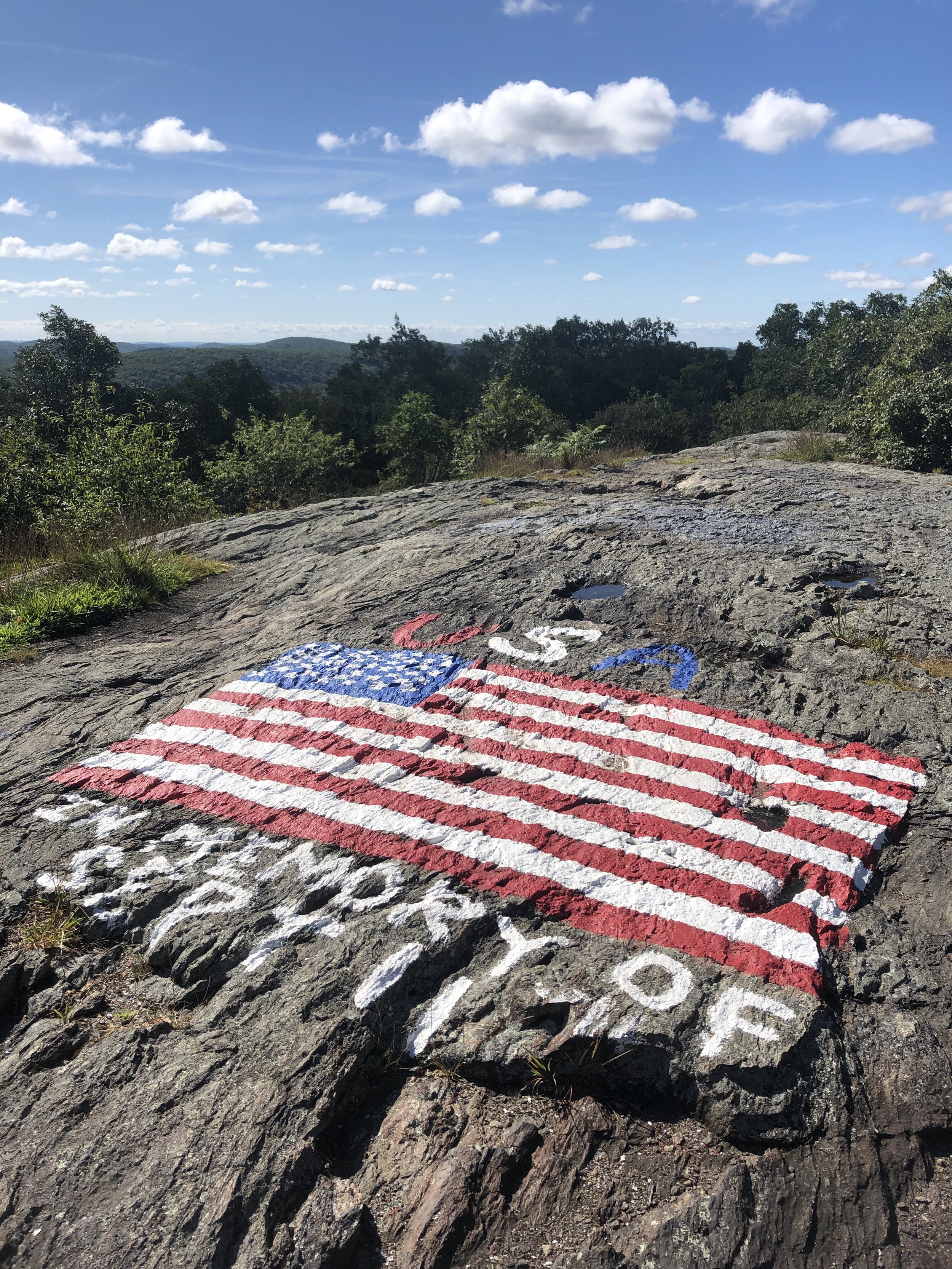
Crosses the Hudson River at the Bear Mountain Bridge, right after snaking through the Bear Mountain Zoo

New York to Montauk
It was a month since I had run a 100 miles when I received a message asking if I fancied joining a ride from New York to Montauk out on Long Island, NY. Making for a second 100 miler in as many months. Of course I was interested. I just didn’t know quite how my legs would feel having very much taken a break since the race. Equally in the build up to the running race I hadn’t been out on my bike much. All thoughts of logic to one side the route was one I had wanted to do for a while. Trumping any other thought process. I quickly text back to say I was in.
The planned route
After much deliberating about which weekend we finally settled on one. Our first attempt ended up being delayed with people being away and a strong headwind of gale force proportions to be exact. So the official first attempt finally came round.
Early morning traffic
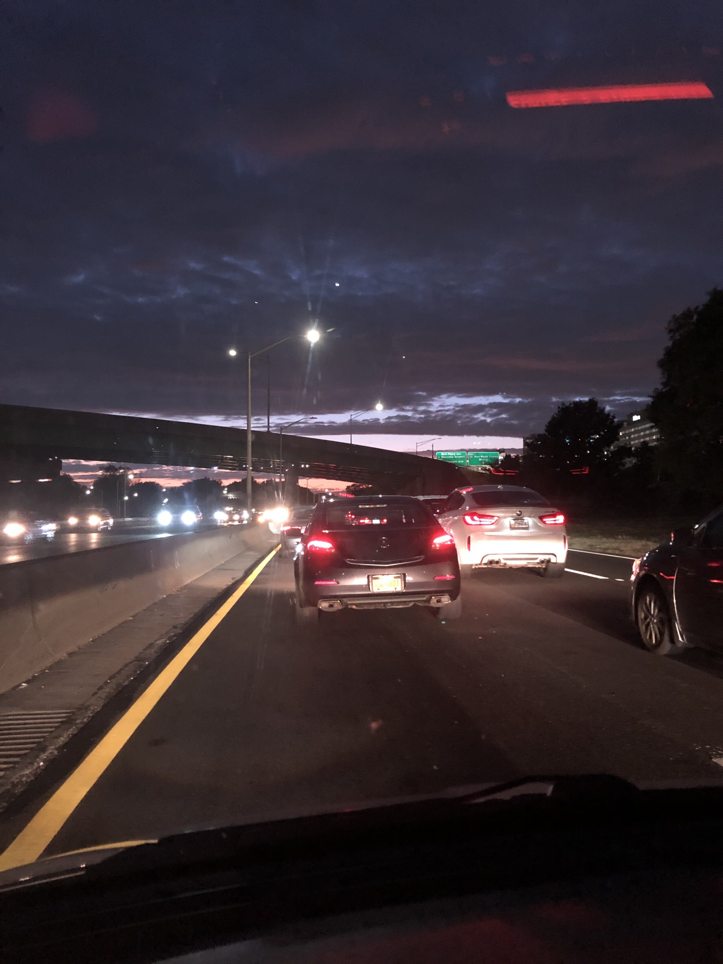
The night before the ride I spent a happy evening preparing as the light faded for the evening my bike was ready and packed in the car along with all my equipment, clothing and snacks for the ride, ready for the next days adventure. I set my alarm for early on Saturday morning. It felt like I had hardly been asleep when the alarm rang. I snuck out of bed. In the process disturbing our dog Onyx who thinking it was time to get up got particularly excited with his tail wagging and banging into everything. Bouncing round the house I tried and failed to settle him as I kissed my wife before leaving. This was followed by a lick first to mine and the to her face by our over excited dog. Dog slobber removed I jumped into the car. The sun had only just started to rise as I drove out of New Jersey and under the southern end of Manhattan, the sun began to peak beneath a blanket of clouds. The roads were fortunately generally quiet and we were all on track to meet at our starting point just outside Manhattan in a place called Babylon. I rocked up just as the others pulled into the station. Despite it being the weekend trying to find a parking spot which allowed me to stay most of the day without costing a fortunate proved challenging. Parked up, bike unpacked and wheels back on and it was time to get going. Thoughts of trying to get a pre-cycle coffee had well and truly gone out the window.
The first section of the journey was through the suburbs of long island sprawling out from Manhattan. The roads seemed to be either needing some serious repairs or under repair. As we bounced down the road. It felt like our bones were being rattled to the core. It reached the point where my water bottle popped out of my cage as it rolled across the road. The last time that happened to me I heard the pop of my bottle as a car drove over the top of it. For a 100 mile ride I didn’t want that to happen quite so early on! Fortunately I quickly nipped round picked it up and was on my way again and managed to catch up with the others at the next traffic lights. We continued on winding amongst the sea side towns of Long Island. One of which was starting to setup for a fall fete, including a bunch of farm animals from chickens to lambs, where we weaved in and out of the various fences blocking the roads, tents, people, animals and then back out onto the main road. It seemed that towns were taking advantage of the fall/ winter down time. The next town we arrived with the road being completely pulled up, leaving just the pavement (side walk) to cycle along.

Caffeine & Sugar hit time!!
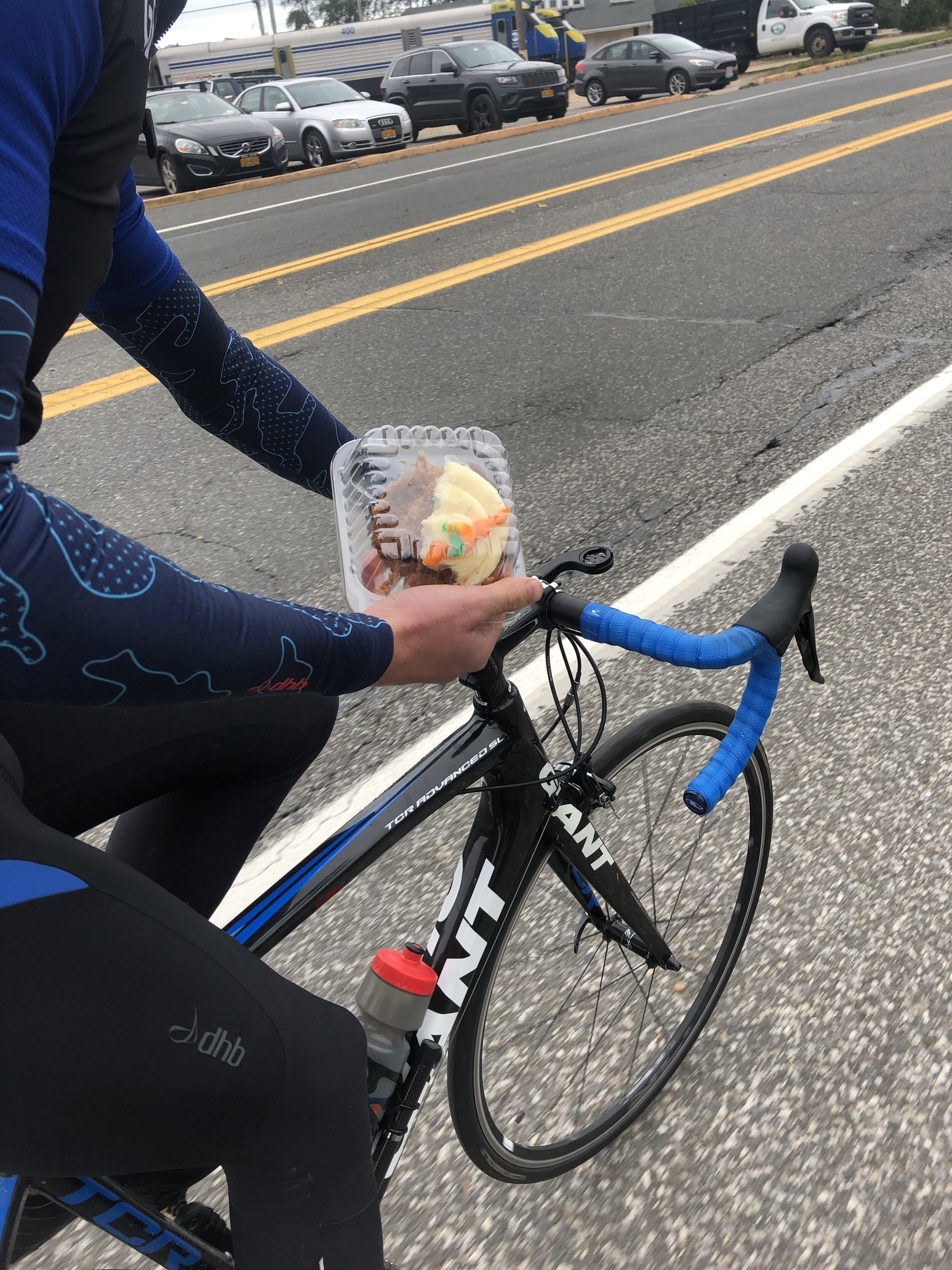
After some fairly bumpy miles we finally made it out of the sprawling suburbs of Manhattan and Long Island. We were on the open road. After cranking out the miles in the morning it was time for a coffee. Spotting a place on the side of the road we pulled over bundling into the shop in search of coffee and cakes that were on offer. Loaded up with a piping hot coffee and a blueberry muffin for myself we sat down outside munching on our mid morning snack and trying to strike a balance between getting our coffee down without burning our lips whilst not waiting too long before we froze in the autumnal cool air. At this point I wished I had one brought something to go over my relative thin short sleeve top and two had put some milk in my coffee so I could drink it that little bit quicker. Caffeine and sugar hit done and it was time to hit the road again. Now that we were out of suburbia the roads were quieter as we passed through a mixture of fam land, riding stables and past some of the further out beach escapes for city folk.

Perfect stop off at La Fondita, for a perfect round of burritos , https://lafondita.net/
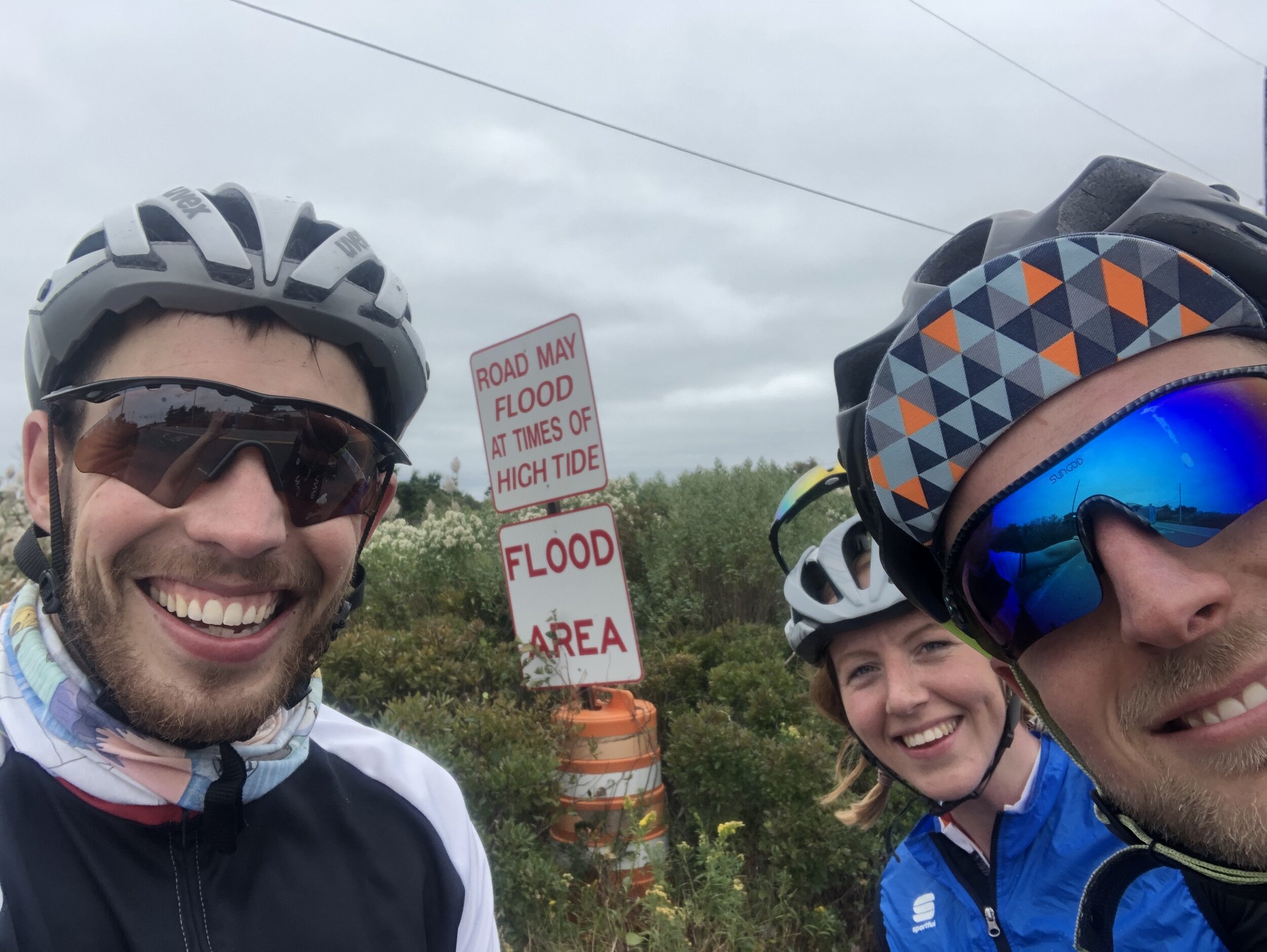
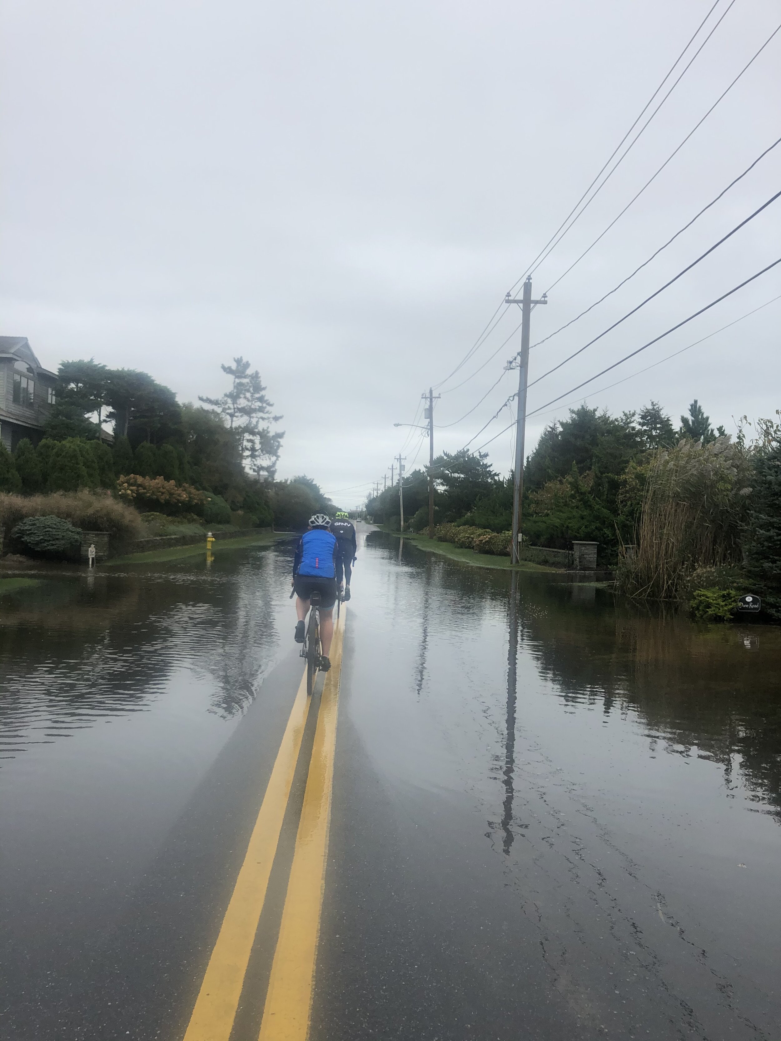
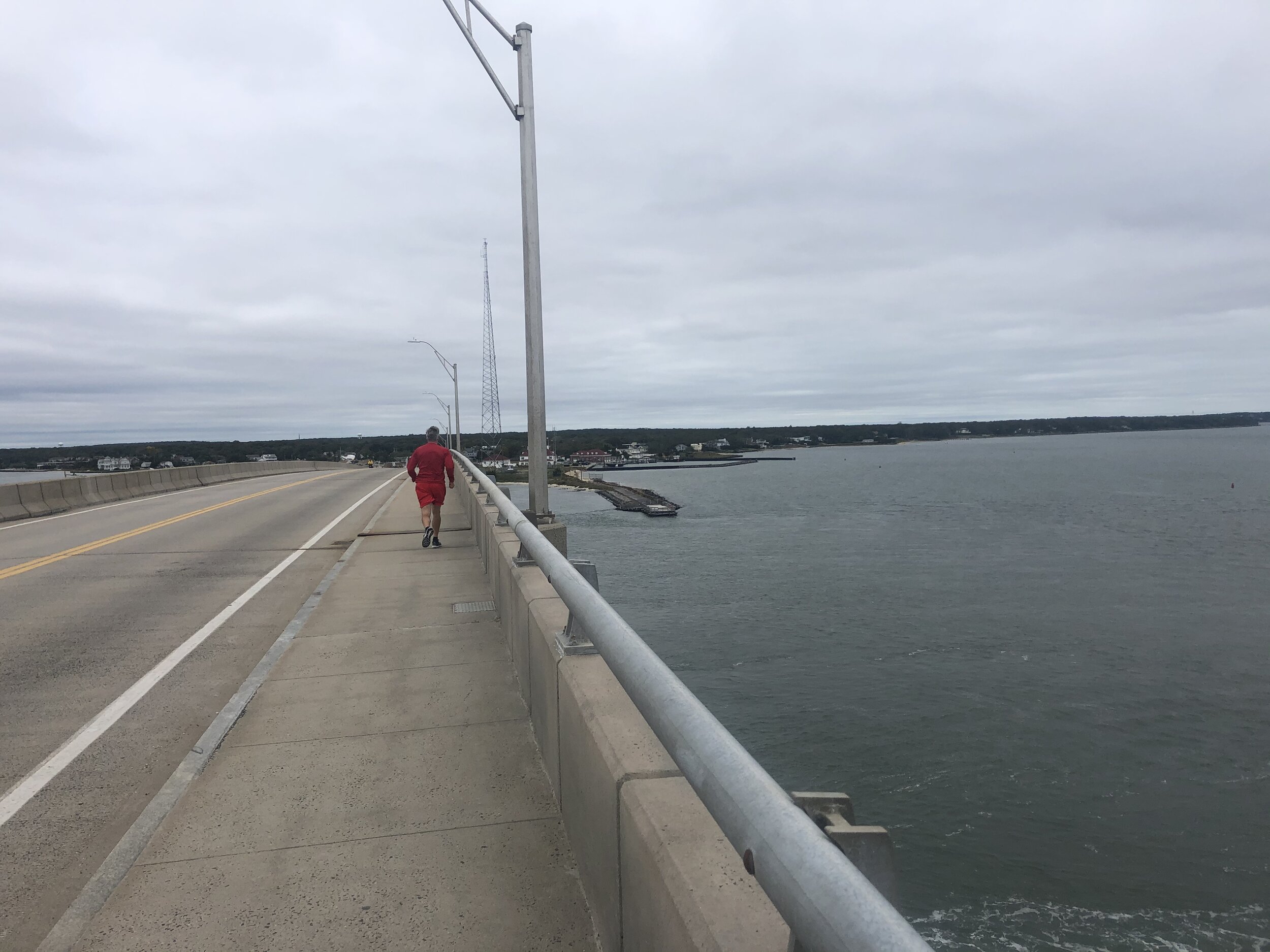
Our route took us down to the coast finally on a little peninsular of land. However the road sign post suggested that the route ahead was flooded. We hadn’t appreciated that there had been so much rain or such high tides given how low the land was to cause any serious flooding. Despite the possible warning we opted to continue on. Thinking that at worst we turn around and cycle back the way we had come. Skirting past the sign we made our way along the coast. Compared to the summer it was eerily quiet; beach access parking lots (car parks) and houses stood empty. The only sign of life was the odd place with a work van parked out front for winter maintenance. After a bit of time we came across a mass of water across the road. Unless there was a big and unexpected dip in the road the water depth didn’t look too deep. Nonetheless we spread out in case one of us fell or more likely we didn’t get a mouth and face full of spray from the person in fronts rear tire. As we cycled through it became clear pretty quickly that it wasn’t going to get too deep, despite the relatively low depth our socks and shoes were now soaked through. As we headed a long it turned out that this was the first of a few water crossings. By the time we reached the end of the road we were soaked! Stopping on the top of the bridge before heading back onto the mainland we could admire the views, watch some local fisherman and most importantly wring out our socks. The bridge provided the only “hill” of the day so far and the elation of free wheeling down the other side at full speed was elating. Back onto the flats we headed out along the coast past more and more beach houses.
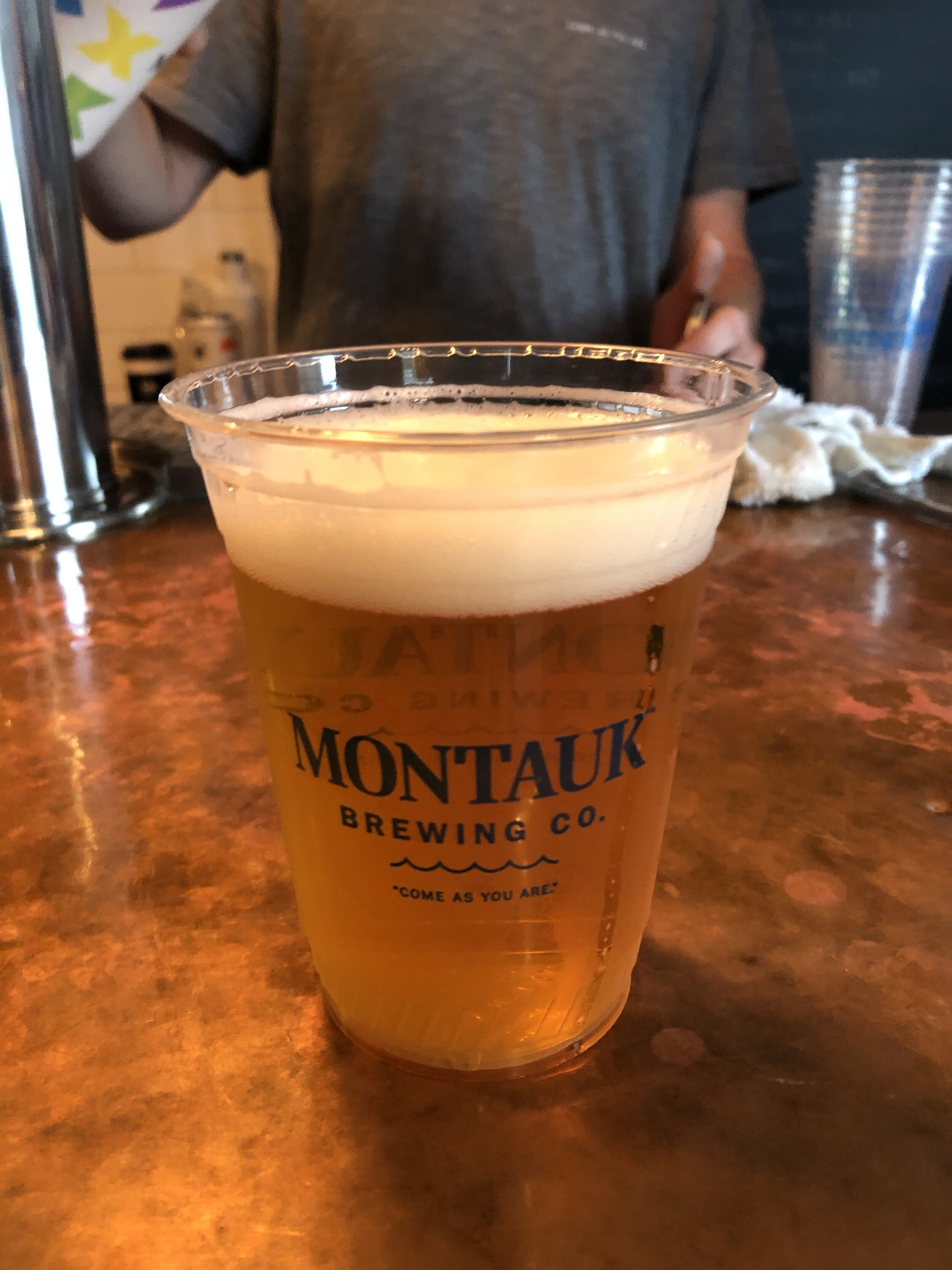
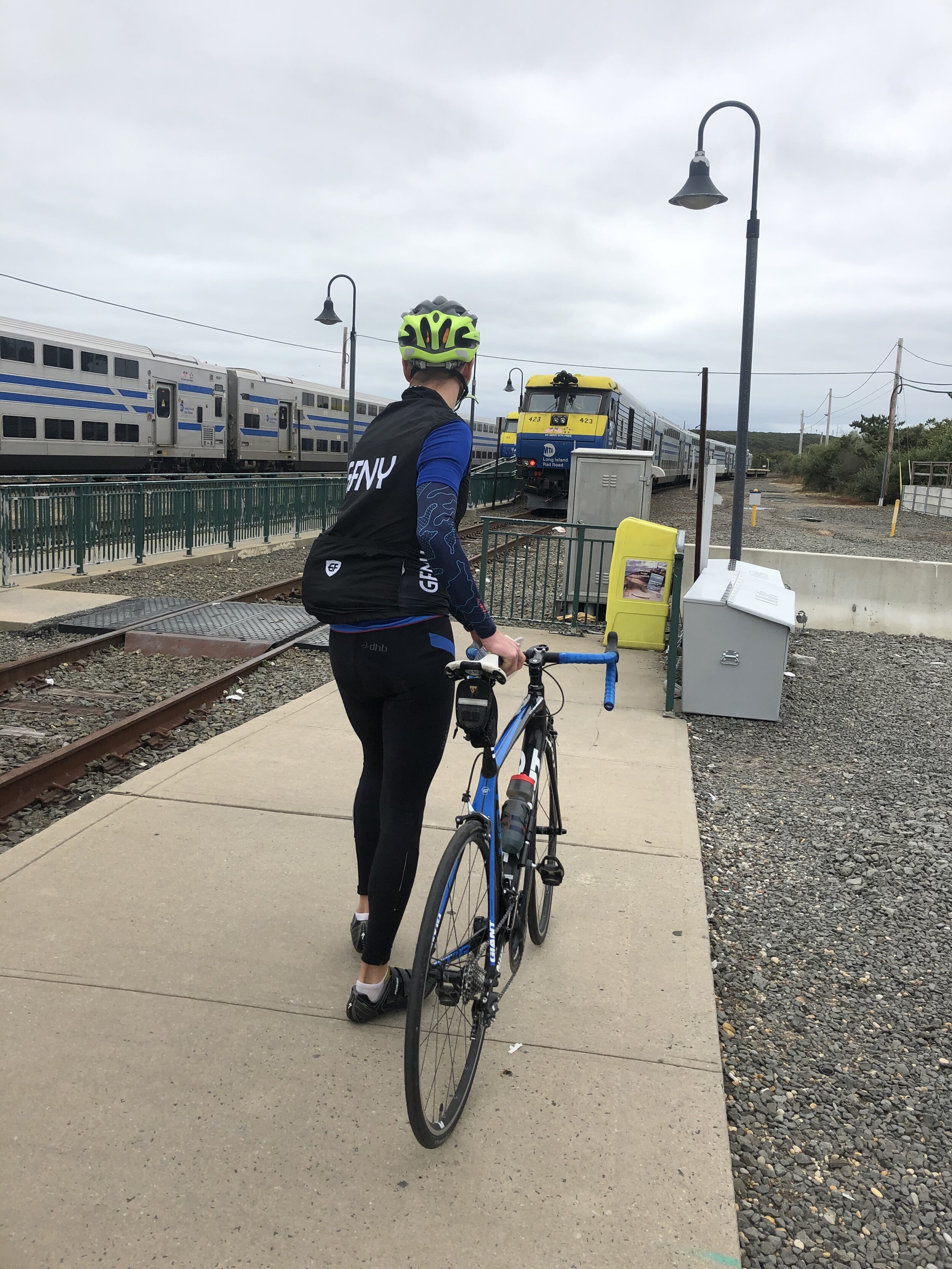
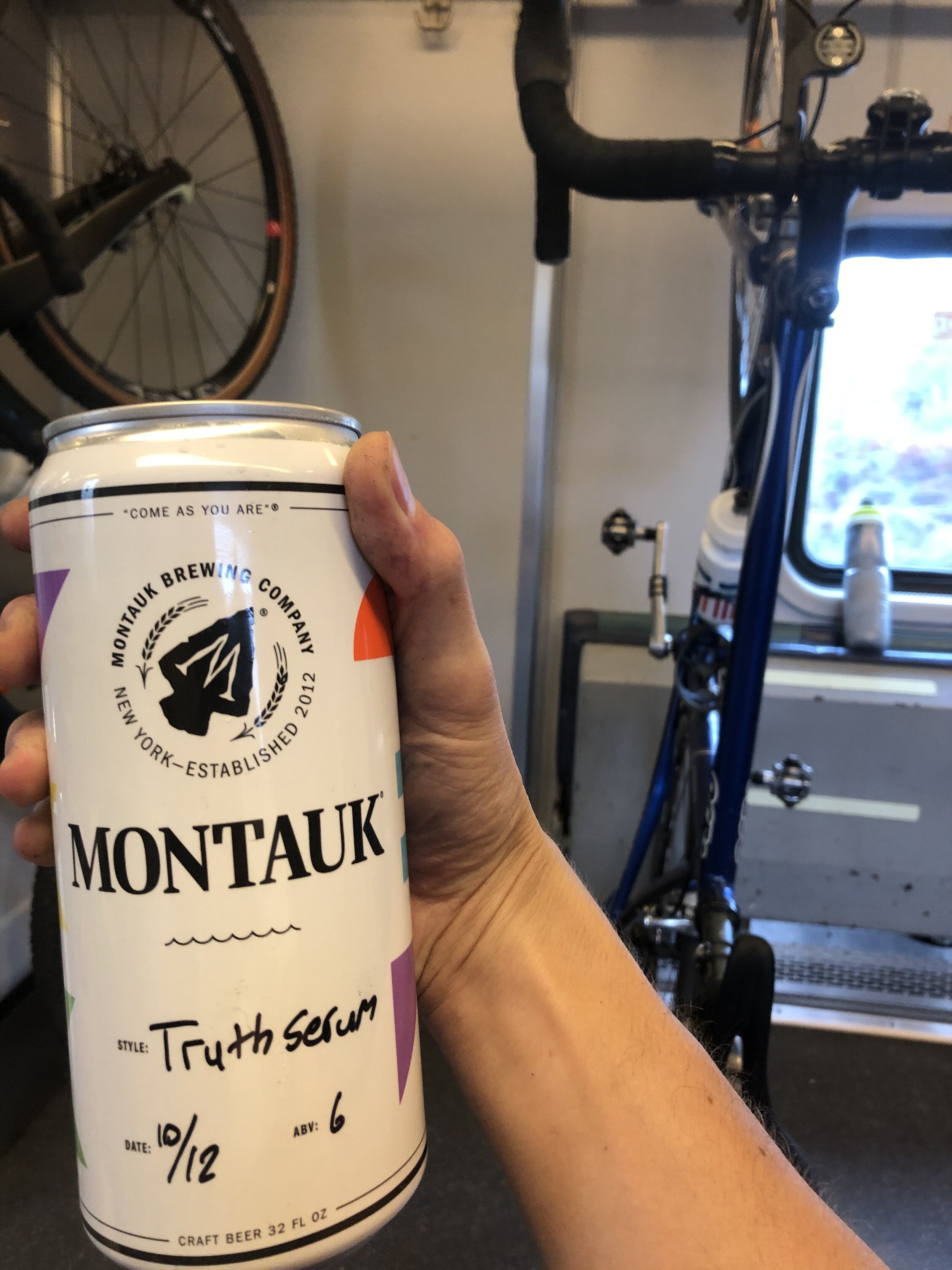
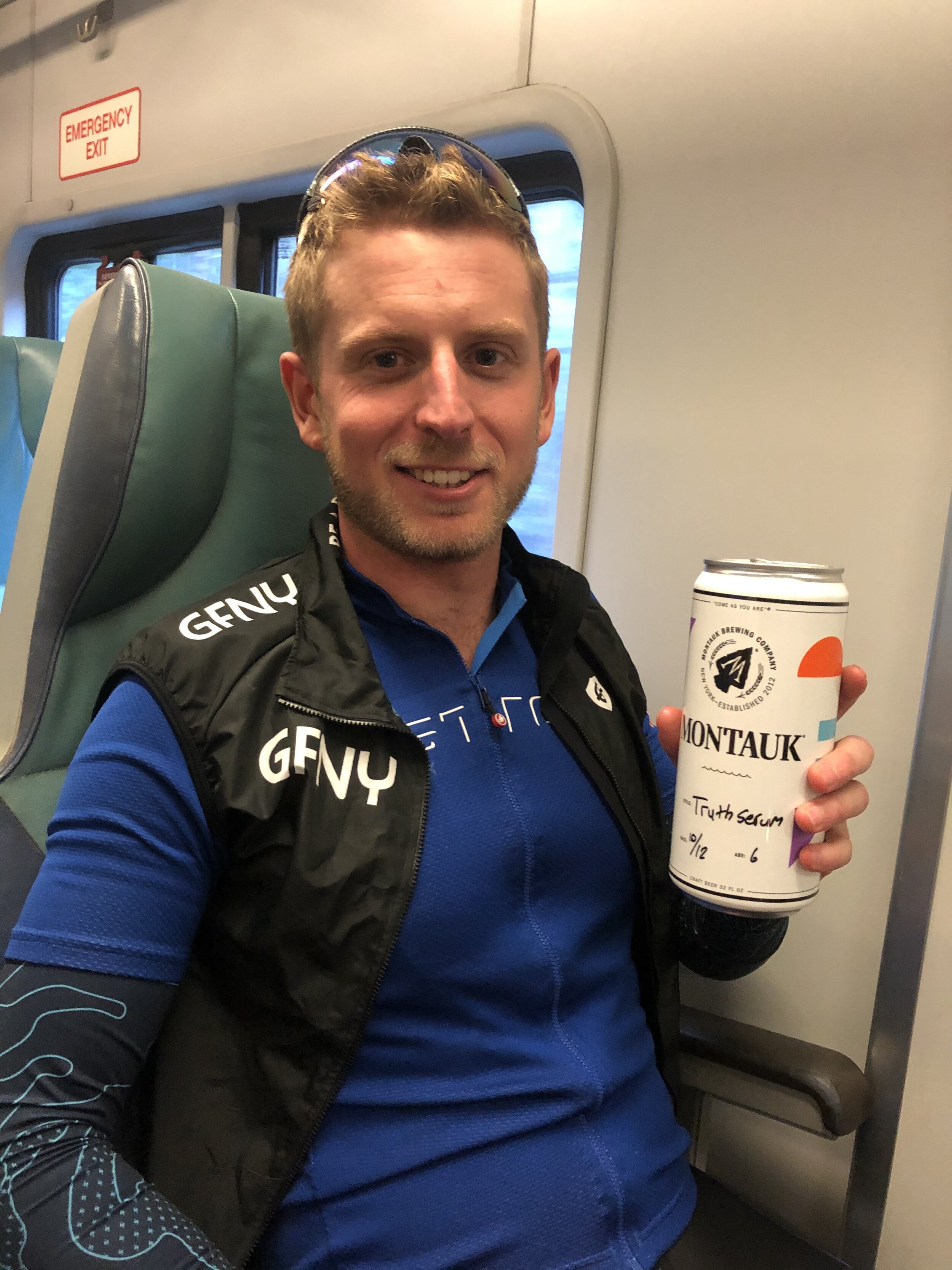
It was time to find some lunch! After most of the day on the bike we were starving. The downside and certainly a first world problem was the lack of phone reception to find somewhere nearby for a bite to eat. After trying for a bit whilst meandering the lanes, we finally managed to find a Mexican place to get some food and it was pretty much on route, plus a personal favourite. Bikes racked, we pilled into La Fondita ordering burrito’s and nachos, once they came out they were positively inhaled and certainly went down a treat. Loaded up on energy we headed on towards our final point Montauk. We were heading a long the now busy roads, through some of the beachside towns bustling with a few more people than the rest of the cycle so far. The sun had finally come out a bit more. I wasn’t freezing any more. The road meandered right along the coastline, as we went cycled we debated whether or not to head to the light house and back or not. It was a close call with us being able to get all the way out to the point, back to Montauk and onto the train. Otherwise we were going to have to wait for quite a while. After a decent ride we arrived into Montauk and decided to head to the Montauk Brewery for a quick drink before the train back rather than heading to the lighthouse. Despite cutting the ride slightly short we didn’t have that much time to wait around before dashing to the train. Boarding we watched the landscape fly by as we headed back the way we came.