A long day in the Ben Lawers

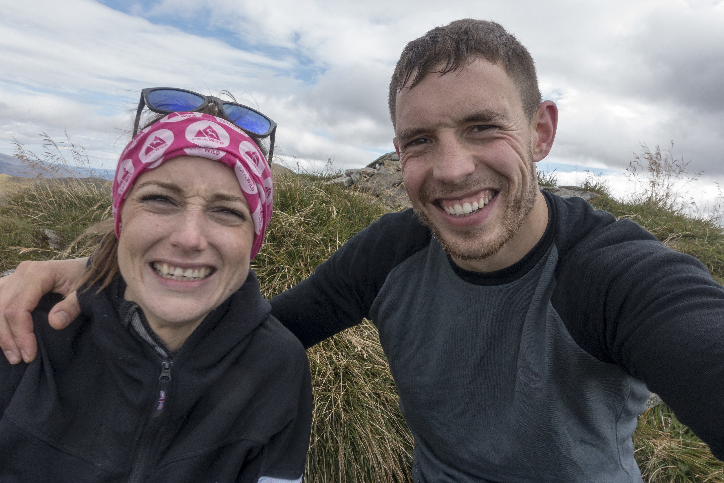
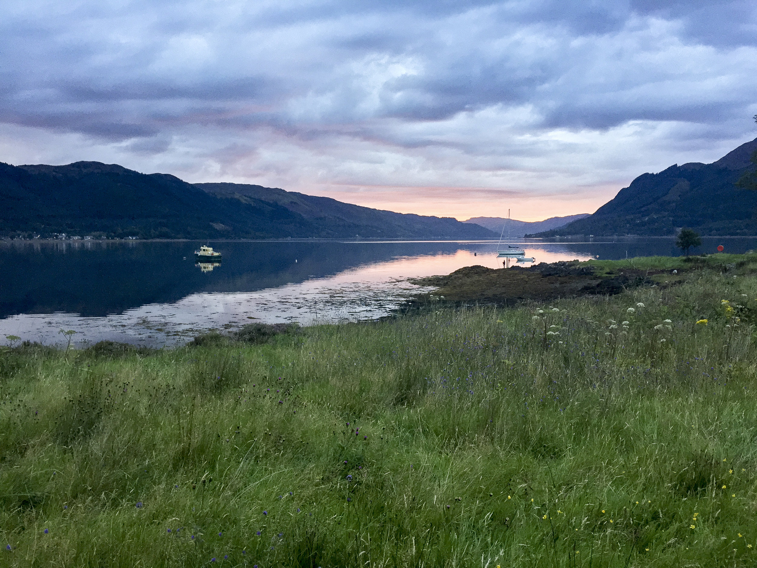
With a waterproof map case at the ready this time we headed back to where we had started he previous day. It was a bit of a déjà vu. The weather hadn't really improved but we set our sights on the Ben Lawers and the first summit of Beinn Ghlas opposite the previous day's attempt. All being well we would continue on peak by peak and see how we got on with the aim of doing a wee circuit.

The first part of the walk took a route through a protected part of the hill. It was amazing to see how diverse the wildlife was there compared to the normal heather covered hills. Would be awesome to see those areas increased!

IMG_4880.jpg
IMG_4880.jpg

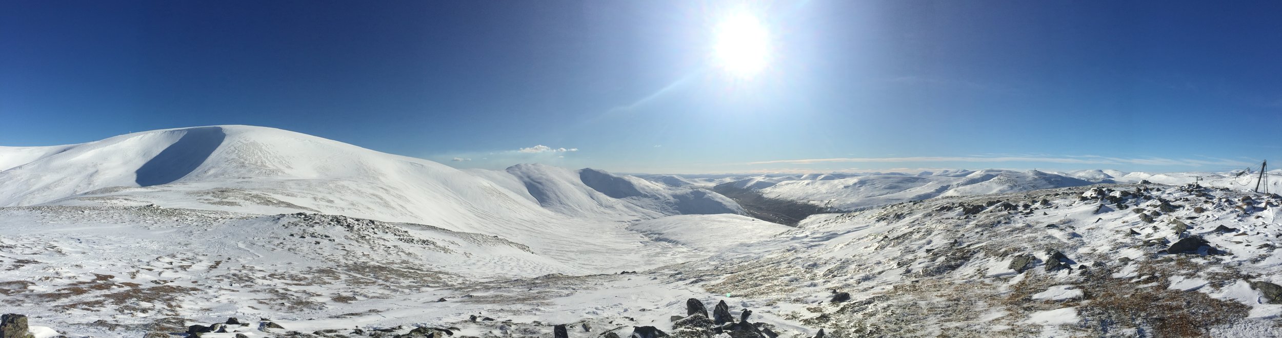
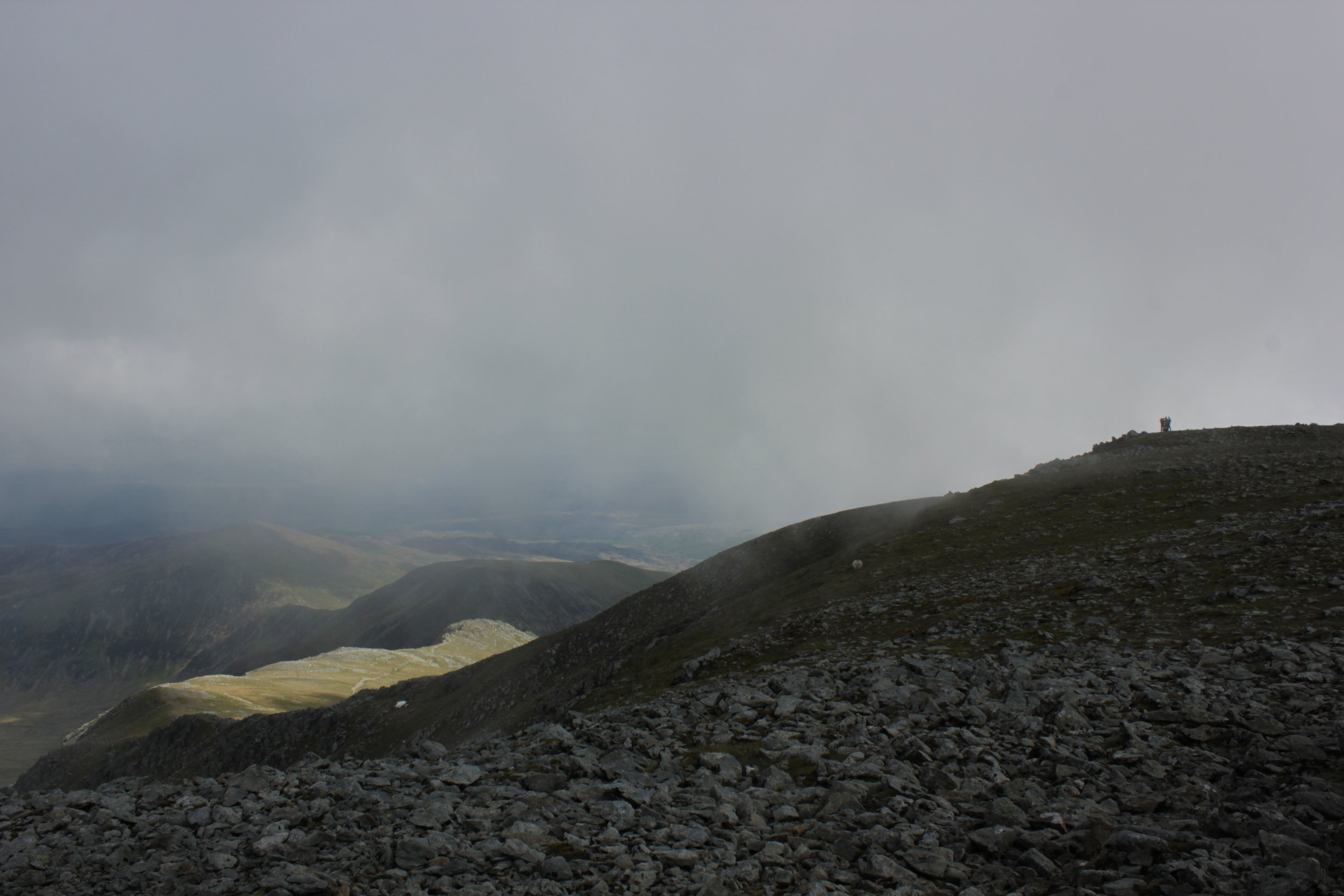
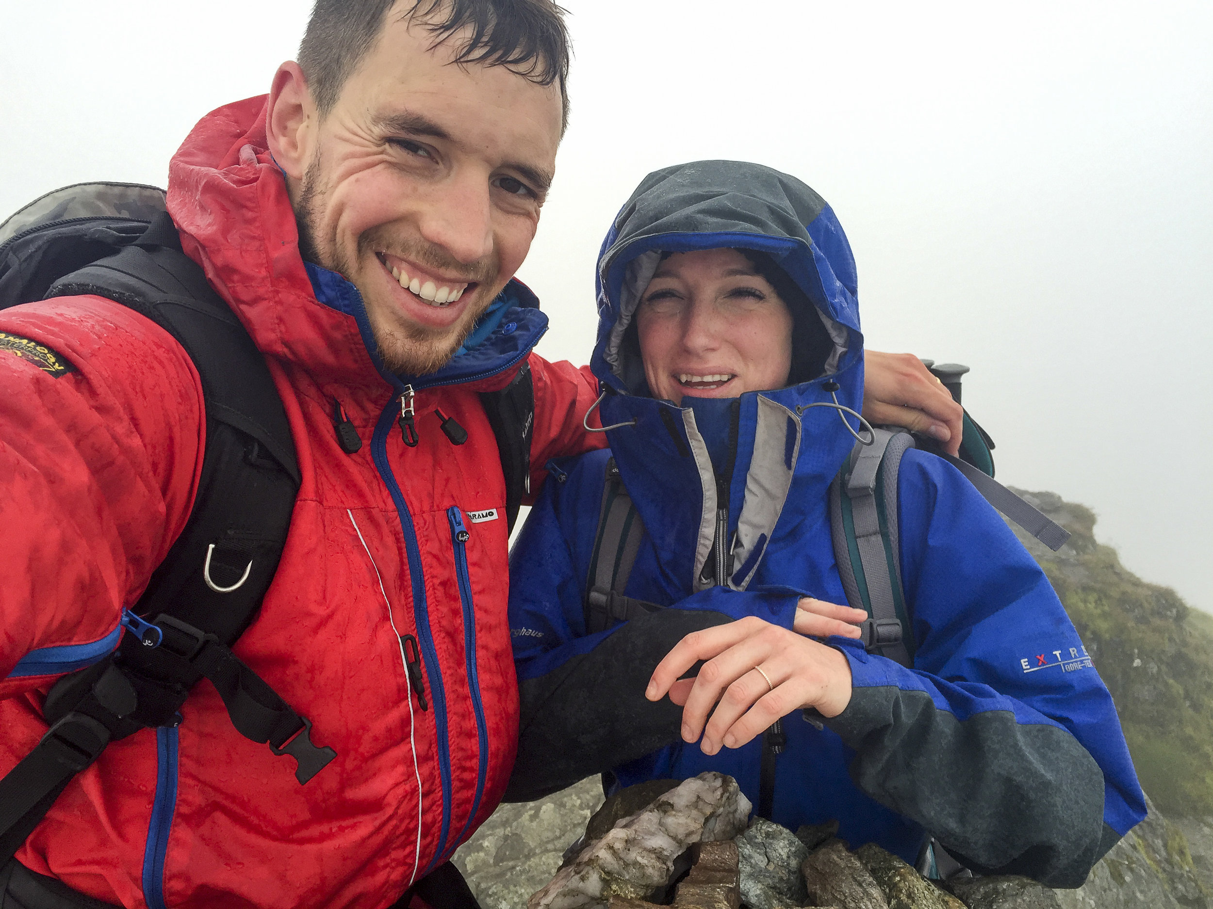
Heading on up we were in the shelter from the wind heading up switch backs towards the summit. We soon arrived, feeling good and the weather not being too bad despite being wet, windy and very cloudy we continued on.

IMG_4881.jpg
IMG_4881.jpg
DSC04777.jpg
DSC04777.jpg

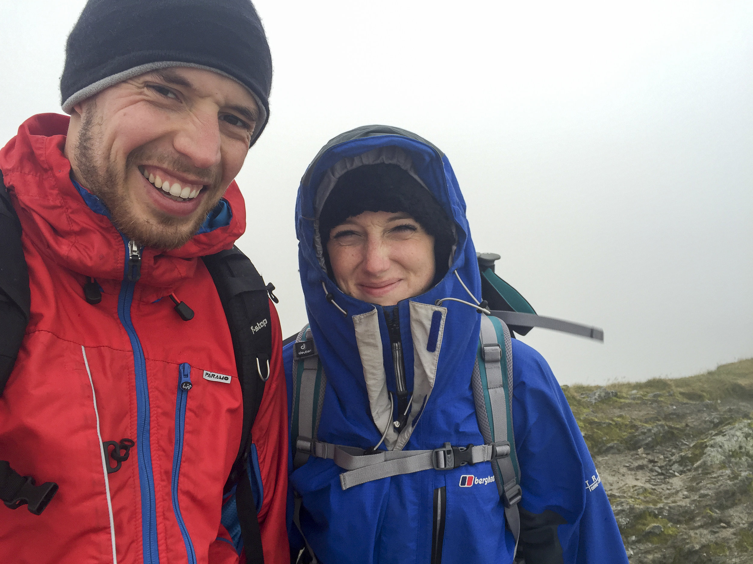
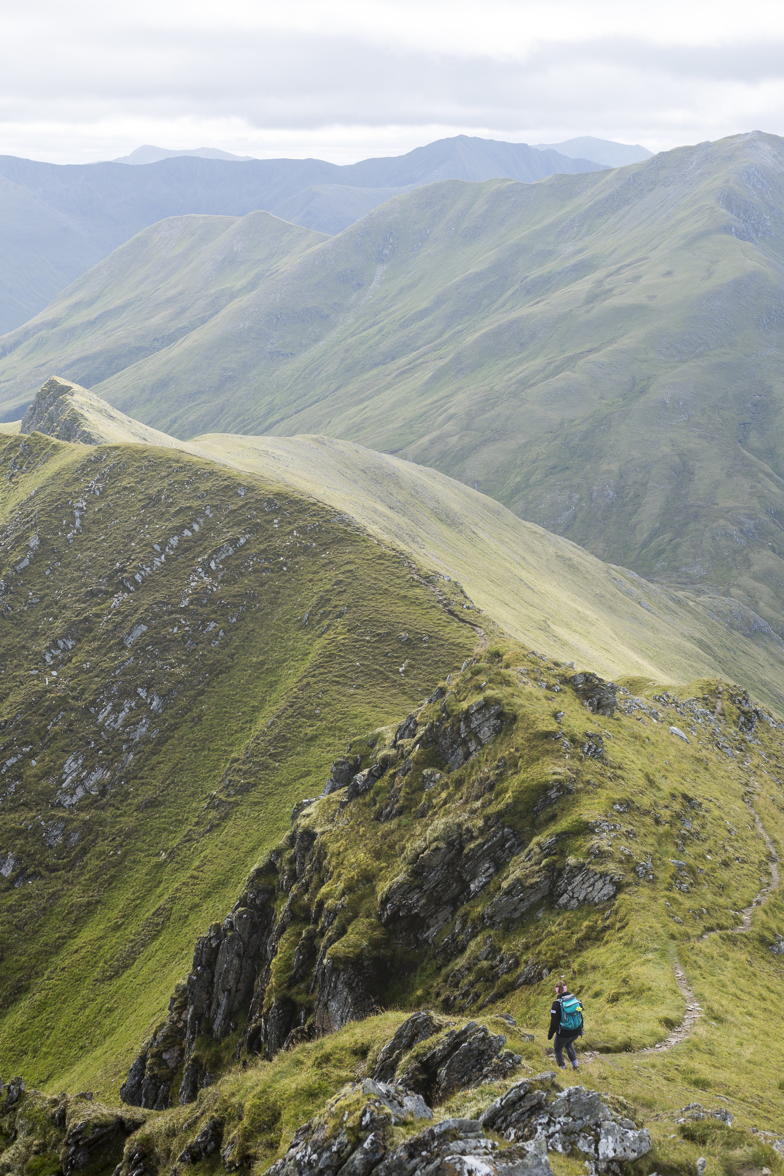
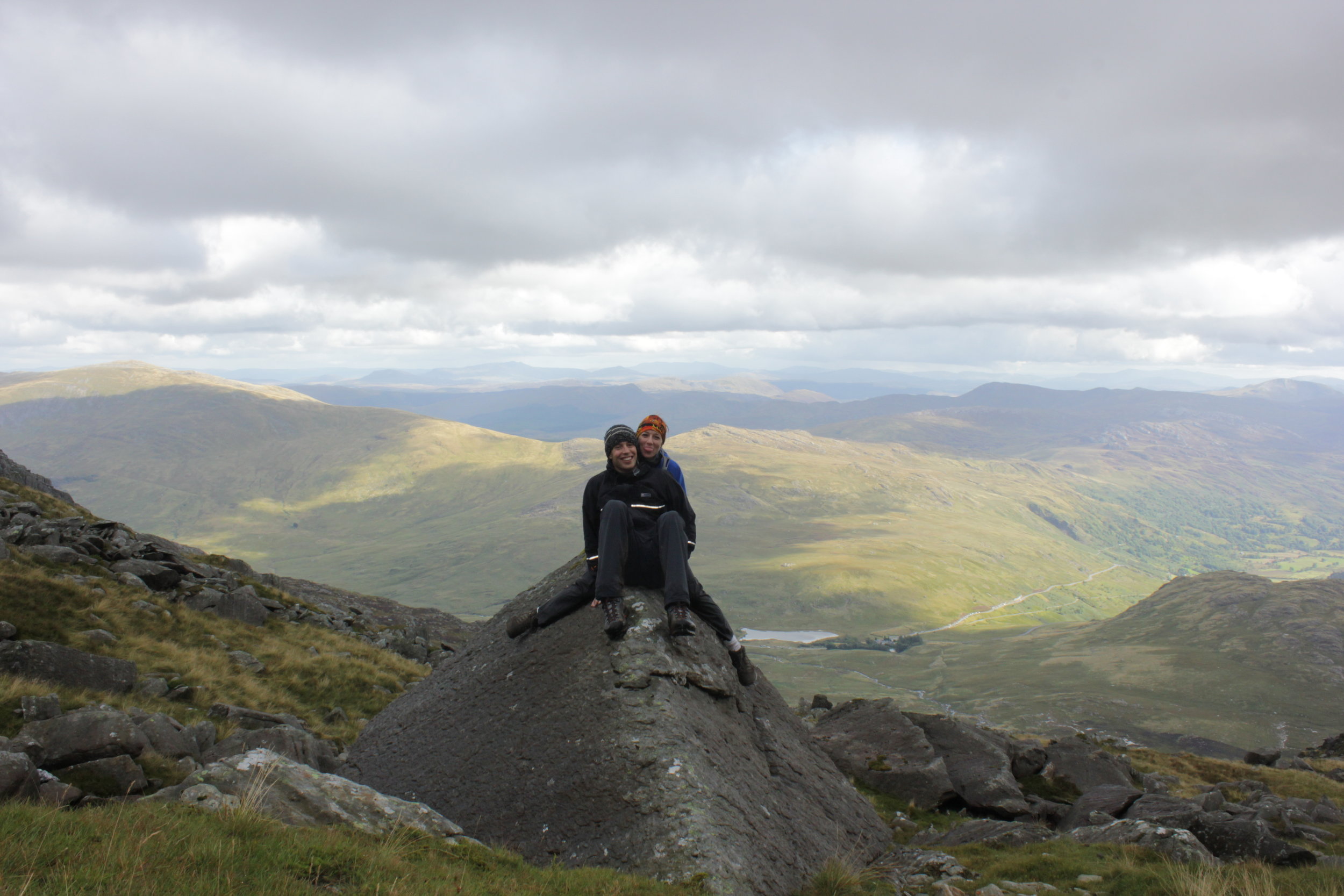
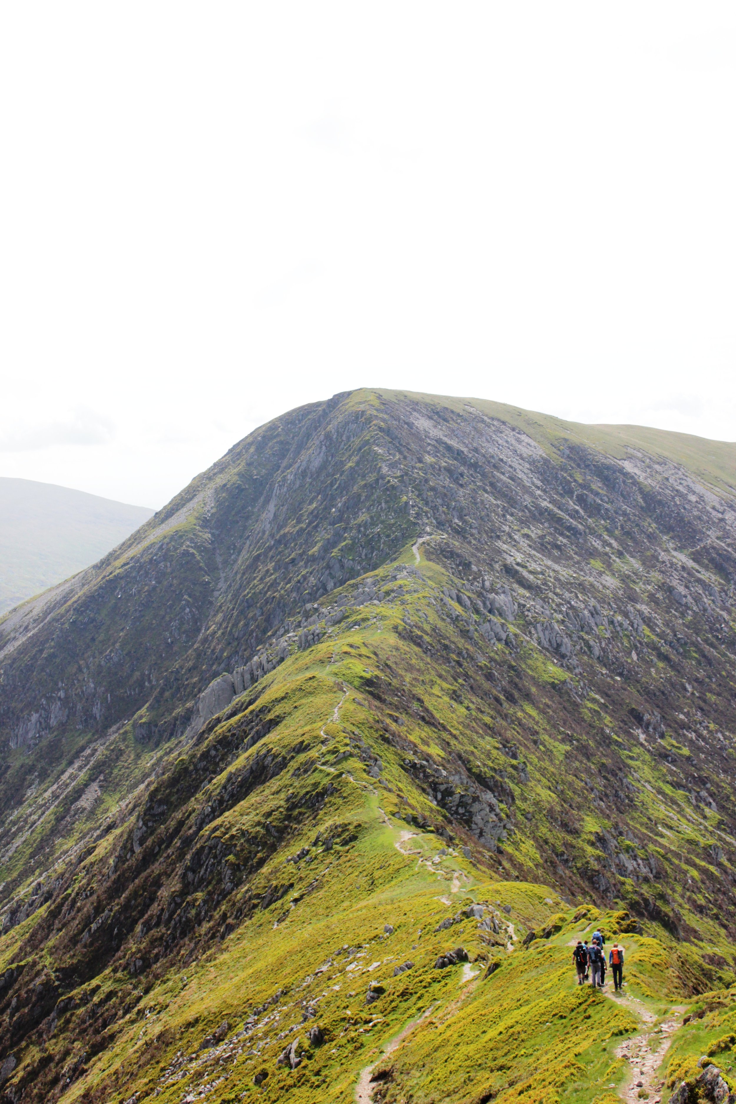
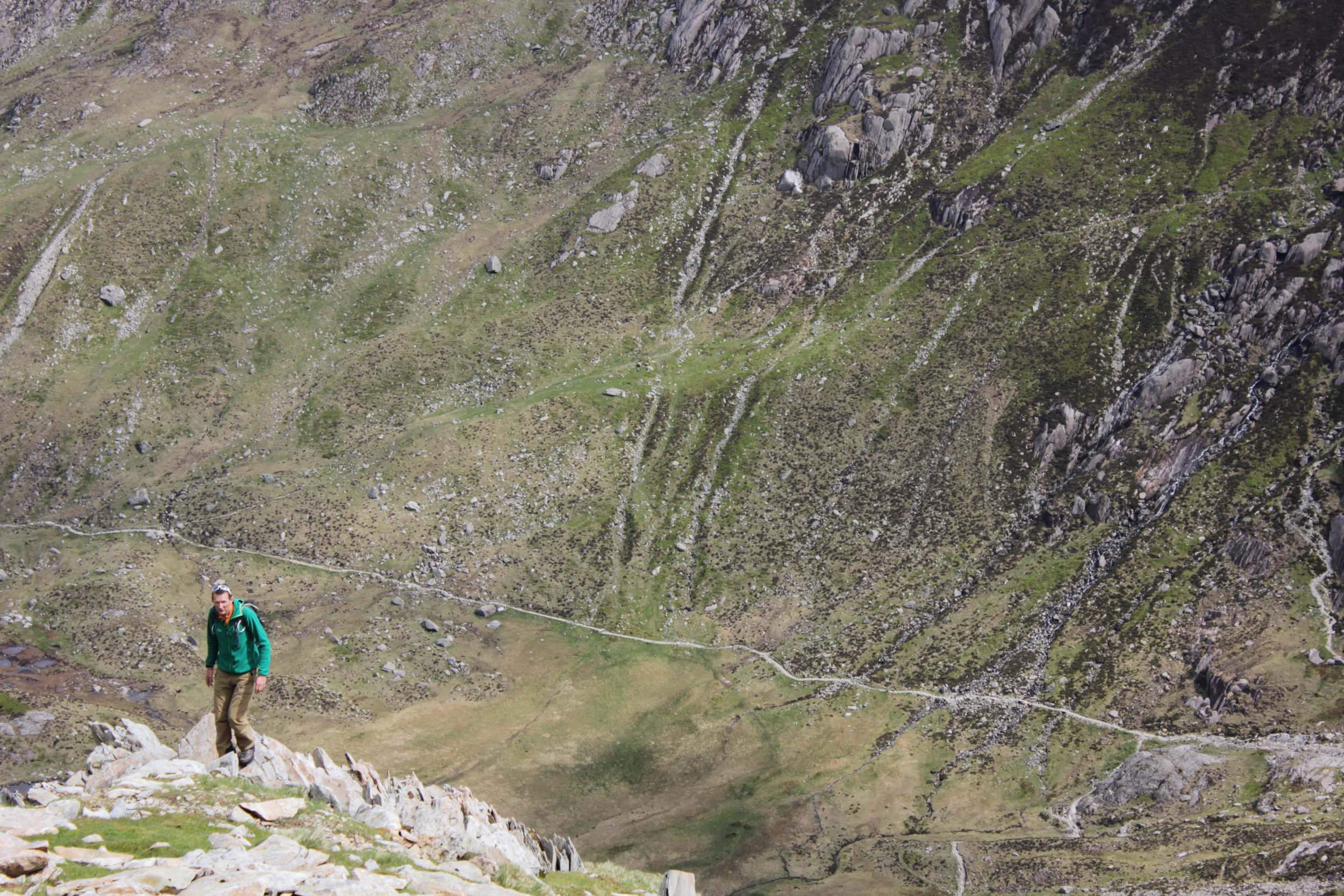
Heading up Ben Lawers was equally quick. With no spectacular views to be distracted by we headed on to An Stuc. The route up was fine then coming over the summit the track leads down a crumbling, rocky and steep path. Fortunately it was in the lee side of the wind, it was certainly an interesting route down and one I would say was much more challenging than some of the ridge scrambles I have done in the past. Making our way down we soon reached the next shoulder to make out way a long.

img_4892
img_4892
img_4899
img_4899

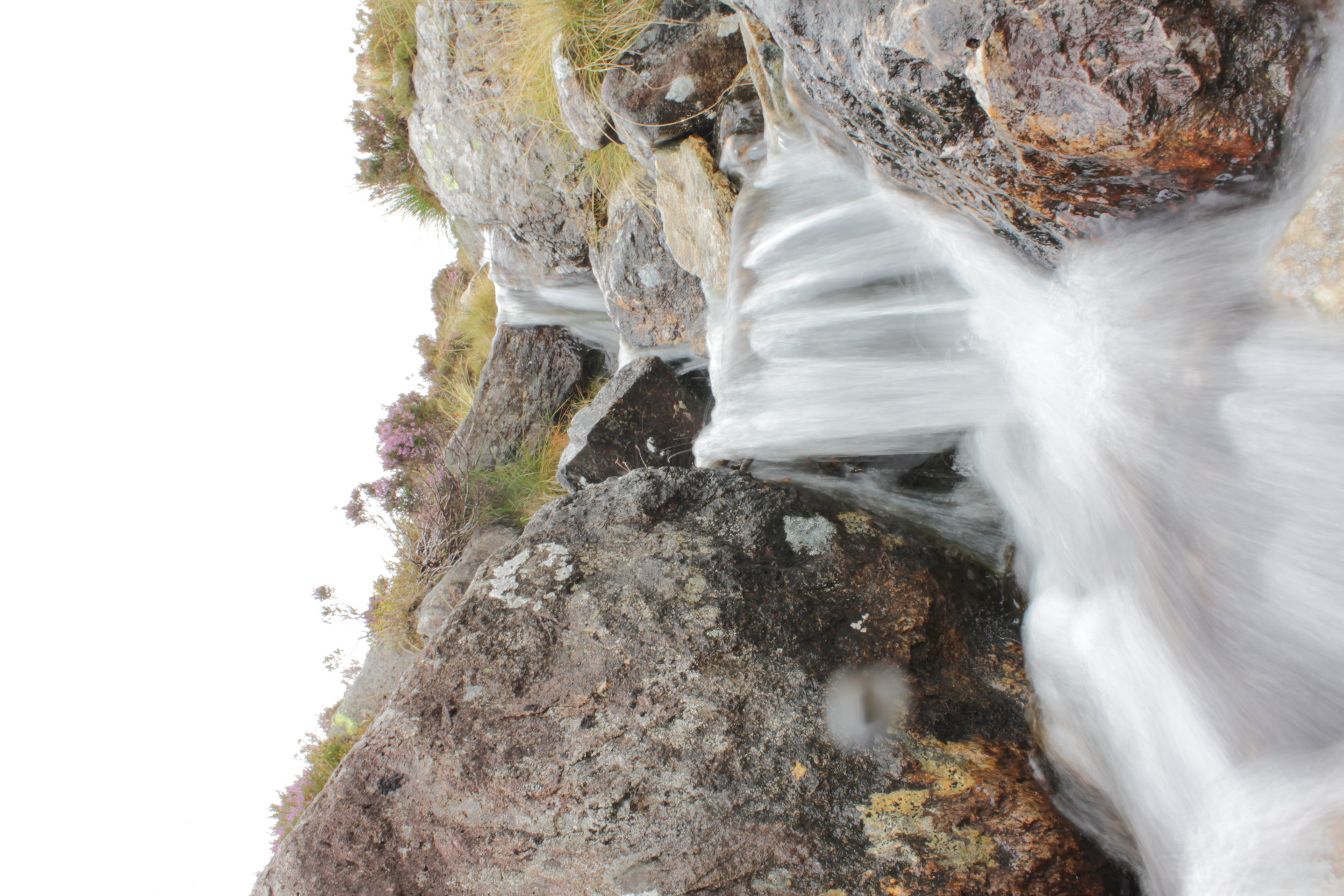
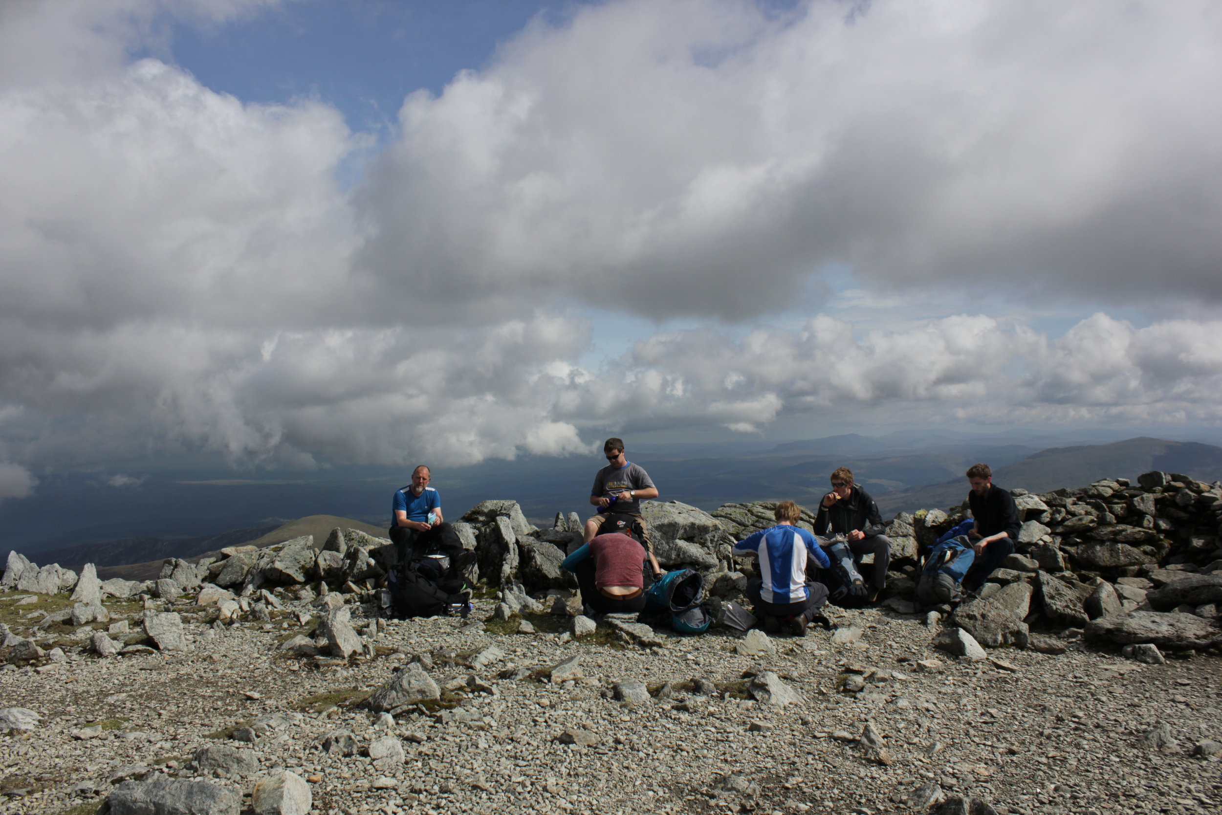
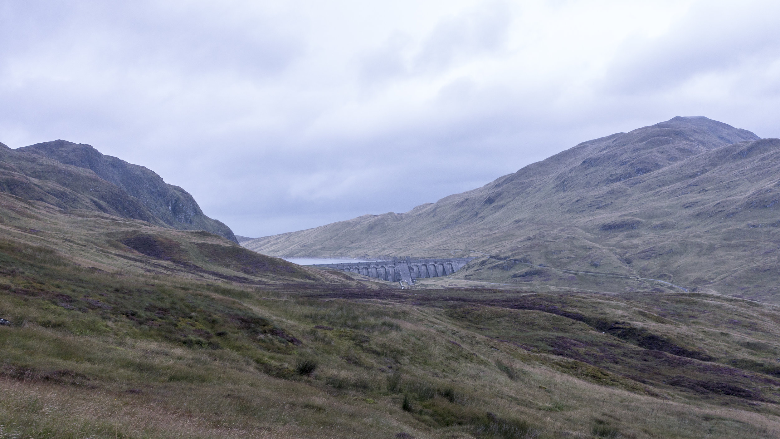
Our route then slowly took us back up to the top of Meall Garbh. The temperature had begun to drop and the wind picked up. We huddled just beyond the summit having a munch to eat and a check of the map for our route. Following a fence line almost all the way to the summit of the final rolling mounds of the last Munro of the day. This section of the route was one of the wetter and muddier parts of the day. With our boots sinking into the thick peattie mud. Some areas previous people had dropped leftover planks and fence posts into some of the more boggy areas in an attempt to create a basic bridge across. These made for a fun balancing act mid walk. Marching on up the final ascent we reached the top where we were finally below the cloud level and could admire the route we had take along the ridge line. A quick bite to eat before dashing down the hillside to a small track servicing a number of mini dams along the hillside. It was an interesting network of mini dams spread across the all the main tributaries and redirecting the water back to a few main dammed up areas. It was pretty impressive. Trekking along and soon the heavens opened. After being dry most of the day we were soon walking a long hoods up and very much looking forward to a hearty evening meal.

img_4884
img_4884

We had been using a cicerone guide to the region which suggested taking a beeline traversing around the hillside along a back to the car park. In principle it was a good idea. It was the most direct route. However once we started it proved to be slow going. With a number of small ravines to negotiate along with the sodden ground our boots and clothing were soon clean of any mud. My ankle still recovering from the previous event didn't appreciate the unevenness of the ground and despite the drop in height we opted to get into the road as soon as possible before regaining the height. In retrospect it might have been quicker heading all the way down to the loch side before heading back along to the turn off.

img_4907
img_4907

Making back to the car we were one of the last out of the car park. It had been a fantastic day. Although we weren't initially sure about heading round the full ridge it was certainly worthwhile.

Screen Shot 2017-02-21 at 06.39.33.png

 Munro's:

An Stuc

Beinn Ghlas

Ben Lawers

Meall Garbh

Meall Greigh

dsc04782
dsc04782

Although the week hadn't gone quite as we had planned we had achieved between us the total of 30 munros in a week as part of a celebration for our 30th this year. Made me really appreciate the effort that it would take to take on something like the bob graham or the Ramsey round.

Weather is on the Change

Looking at the mountain weather forecast for the coming days was not great reading. Cloud free summits at between 10% and 30%, rain heavy at times and wind speeds hitting gale force levels as the days went on. Perfect Scottish walking conditions.

The plan was to go for 4 munros for the day. Heading up the valley we soon spotted a vey clear path on the opposite side of the river to the part we were walking on. Our track soon came to an end as we trudged back to the start.

DSC04742.jpg
DSC04742.jpg

Finding our way through yet more wet sticky bog to reach the path we had seen became an interesting challenge in itself with elements of the route feeling more like a series of small streams. We finally made it onto the path and route up the valley we had spotted previously. It was also at this point that we spotted the route we could have taken if we had continued slightly further a long our original route on the other side of the river.

dsc04747
dsc04747
dsc04746
dsc04746

All about us small streams trickled off the mountain side allowing us to stop for an occasional drink from these whilst basking in the sunshine. It was starting out to be a glorious day. Heading up the onto the saddle between a few hills the wind hit us. Clearly we had been sheltered by this in the lower valley.

A head of us lay a large swathe of boggy ground before the initial ascent of ciste dubh. The start of the route zig zagged its way up through soft, thick brown sludge. As we came over a crest of the main ridge taking us too the top lay in front of us. It was a spectacular sight.

Overhead the clouds were beginning to build and the wind pick up. We continued trudging on up with a shear drop to one side and a steep slope to the other and views over the nearby lochs it was building up to be the favourite summit of the tour. The thought of these being snow covered and skiing down these slopes would be incredible with the right conditions.

The final part of the ridge was marked by a series of false summits. Each once getting our hopes up before another peaked its head above again. Finally reaching the top, the views were spectacular. After spending the previous day on a ridge line being on a single Munro surrounded by the other peaks was incredible despite meaning we had to go all the way back down before making another ascent.

dsc04752
dsc04752
dsc04755
dsc04755
dsc04760
dsc04760
c43a1988
c43a1988

Despite some of the challenges on the way up, the down was remarkably quick. And we were soon heading up the other side, a steep grassy slope towards the next summit. The winds were really beginning to build up and we only stopped briefly at the top before heading up toward the next summit. As we dropped onto the saddle the winds would increase until we were back into the shade of the ascent. Each time we got buffeted by the wind the temperature would plummet.

We were on a role but as we made our way towards the third summit of the day the wind was beginning to be a considerable force which with a considerable drop on the down wind side was certainly less than welcome. The winds were due to pick up to around 50mph. With this beginning to occur and a natural route down off the hills we made the decision to call it a day and head down.

The route off was initially a lot better than the previous day with a gentle decent back into the valley. This became less than ideal as we hit a fenced off wood land. Skirting round this was definitely possible but the ground was sodden and despite the wet weather a number of bugs and beetles sought refuge in our clothing, faces and hair. You could feeling them crawling all over us. Each one raising a number of expletives as we were attacked from all angles and our feet sank deep into muddy puddles.Hitting the main road was a delight.

img_4802
img_4802

Despite our delight it was short lived as we became shocked at the amount of rubbish that lay just next to the roadside amongst the beautiful highlands.

screen-shot-2017-02-14-at-07-07-06

Don't leave a trace.

Munro's

Ciste Dhubh

Aonach Meadhoin

Visiting far places and cycling Great Glens

After a day of enforced rest due to yet more high winds. We opted for a tour to the furthest westerly point in mainland UK. Ardnamurchan.

This gorgeous peninsular involved a short ferry trip before creeping along the roads that meandered along the coastline. It was gorgeous particularly as the colours were changing as autumn approached. Behind us lay a bank of cloud while the sun shone down on this peninsular.

img_4815-copy
img_4815-copy
img_4821
img_4821
img_4817
img_4817

We finally arrived at the end point. A lighthouse perched on a rocky outcrop and protected on all sides by stone built walls. We even became aquatinted to the local goat population. Before heading to a nearby beach to enjoy the white sandy beaches of Scotland. Almost like Barbados just a tad on the cooler side of things.

c43a2002
c43a2002
c43a1994
c43a1994
dsc04767
dsc04767
dsc04773
dsc04773

The next day we woke early from our cosy glamping hut at wigwam. Our sights set on some nearby hills. Coming to our first option the wind began to increase and so we adapted our plan to a nearby summit. Later we found out this one was renowned for being windy. Making our way up the wind was increasing dramatically and the cloud level dropping. As we got closer to the top and with and the wind increasing substantially I thought it wiser to come down rather than to keep slogging for the sake of it. We managed it a few days later under slightly calmer conditions. The route up would have been ok particularly as the slightly more technical part of the route was in the lee of the wind.

img_4852
img_4852

We made up for it with a fantastic cycle from Killin to Lochearnhead along a fantastic cycle route. The going was great heading quickly through the valley past streams and squeezing over cattle grids. We came across a Canadian cycling round Europe and was looking to head further north before it became too cold we headed our separate ways wishing him luck. With only an occasional shower and with the sun poking its head out we could enjoy the change of pace. Turning round we realised it had been a bit more of a downhill than we realised and the wind had been behind us. It was going to be tight with the bike hire place shutting. The last mile we lost our luck with the weather and it chucked it down.

img_4857
img_4857
img_4862
img_4862

Finishing up we headed to our accommodation for the night. With views over the loch it was a gorgeous setting despite the clouds.

We certainly felt fresher for the more relaxed day and the cosy accommodation.

Sky Run - Peak District

With trail and ultra running ever growing in the UK it was only a question of time before the sky running series made its way to our shores. Big in the Alps the race formats are normally marathon plus distances in the mountains with the aim of taking in peaks and ridges along the way. At one extreme you have the Salomon sky run along the Aeonach ridge, a grade 3 scramble to others which are much less technical. This weekend was much less technical in comparison but with 29 miles and 2000m of ascent it wasn't to be sniffed at. Especially when this height gain to distance ratio puts it in a slightly more aggressive category than UTMB or the Lakeland 100. Admittedly despite that fact being floated about, those races are a much more incredible feat of human determination and endurance.

A short recce the day before took me to the top of the first climb, Solomons Temple near Buxton with great views over the course of the following day. A final bit of race preparation was enjoying an incredible meal at the Samuel Fox inn, potentially a tad much for a pre-race meal but with this being my first outing back into ultra racing for a couple of years my aim was to enjoy the day and start getting back into it.

img_4498

img_4498

Wondering amongst the competitors it was great to chat and hear stories of competitions completed and planned for the coming year. From quick dash fell runs to the rather more brutal races such as King Offas Dyke 185 mile race or the 268 mile Spine race in January along the pennine way.

img_4509

img_4509

The race commenced and we made our way quickly up to Solomons Temple with short pauses as we were funnelled onto single track. Despite the forecast being of overcast conditions I was glad I had packed some sunglasses for the day with the sun beaming down on us. As we rounded the temple with a bagpiper playing up top we began to spread out as we started our decent already. This was going to set the stage for the day with every ascent marked soon afterwards by a descent and slightly demoralisingly loosing all the height just gained.

The route took a course along ridges, through moorland, bogs and of course up a number of hills.

peak-skyrace-final-pdf

peak-skyrace-final-pdf

With a well marked course we could concentrate on the running and getting our feet in the right spot. With plenty of opportunities for twisted ankles amongst the rocky tracks being light on our feet and an emphasis on twinkle toes was the name of the game.

The only slight mistake came when chatting to another competitor about his up coming race in Oman. Taking the wrong turn we led out towards a farm building only to realise we had gone half a mile in the wrong direction. Slightly devastating as was the sight of maybe 20 odd runners who had followed on behind us. Quickly making up the ground we had lost we all made our way back into the course and meandered back down the hill side.

Running through one boggy area I came across a pair of Oakley sunglasses that had clearly dropped off one of the runners in front and were gently perched on some long grass. Picking them up I handed them into a later checkpoint. You never know when you might be in a similar situation. I didn't have to wait long!

img_4536

img_4536

About 10 mins later the course was incredibly beautiful and one I would have certainly wanted to capture more of it wasn't for the fact I dropped my phone. Fortunately it was picked up by one of the other competitors not far behind me. A quick snap and with it firmly packed away for the remainder of the race after learning my lesson and not fancying a repeat before heading on.

The course meandered on and my pace ebbed and flowed as the terrain and distance took its toll. The three food and drink checkpoints on the route hit the spot every time. With the opportunity to refuel on chunks of banana, succulent orange slices, flapjack, soreen and of course a wide array of other goodies. I try to make these as quick as possible and continue to eat as I walk along out of the checkpoint. Partly this is to not get too comfortable and I would much prefer to finish sooner.

img_4537

img_4537

Chatting with some of the fell runners it was great to see them descend in front of me. I still don't understand how they did it so quickly other than through a bit of experience and raw tenacity to descend quickly! I envisaged face planting a rock face first if I tired the same so clearly an area I can improve on.

The route went past quiet a few climbing and bouldering spots with chalk marks on some and people clambering about in the sunshine on others. Unfortunately it would have to be  for another time.

As the day wore on I went over on my ankle. With my run going well this was pretty disappointing but deciding to walk it off for a bit I soon managed to break into a trot again. Some of the rocky ground though became much trickier to negotiate as my ankle seemed to get twisted on even the smallest of stones.

Finally the town of buxton came back into sight. I was delighted despite not being able to increase my pace a huge amount. One guy asked if we were to have a sprint finish. As much as I wanted to my legs and ankles had run out of juice. I was happy to finish the race at a plod.

Within moments of crossing the finish line I was welcome by a flat coke, my trainers coming off and my wife looking at me in a slightly sorry and apparently "grey" looking state.

img_4535

img_4535

Despite the ankle it was awesome getting back into the running again having been out of ultra running for a couple of years. I was remembering all the elements i had learnt about through training runs, competitions and chats with numerous runners and trainers. I finished middle of the pack which may not have been my best result ever but it was one I will certainly remember. I would certainly recommend checking out the sky running series with a greta mix of terrain and distances.

img_4534

img_4534

Helvellyn Circuit

With a weekend of spectacular weather on the cards and a wide range of walks across the Yorkshire moors, Dales or the Lake District to choose from we were certainly spoilt choice. After much debating over these options and gaining some local knowledge we set our sights on Helvelyn in the Lake District. With a choice of routes to go up Helvellyn including the famous striding edge it was set to be a fantastic outing.

screen-shot-2016-09-08-at-08-46-45

screen-shot-2016-09-08-at-08-46-45

Waking the next morning and rushing for the curtains I was welcomed to a view of low cloud and overcast hills. Not quite what we expected. Stepping outside the cool weather was perfect for walking and so I began filling a couple of flasks with hot water in preparation for some cooler ascents.

As we headed out along the a66 with awesome views over the Pennines the cloud began to lift. As we drove down onto the western side of the pennines we were greeted to glorious sunshine. The temperature began rising and the thought of no sun cream along with the hot flasks of water all began to seem like daft ideas.

Arriving in Glenridding the car parks were jam packed with rucksack and map carrying hikers. Brilliant to see but dashing our thoughts of being in the wilderness. Gathering a few final essential supplies including the sun cream and chocolate bars we were ready to begin.  The chocolate unfortunately did not make the journey as it was eaten in advance before we started.

We headed on up the valley.

Wondering along side the stream that flowed through the village. Huge chunks of it were missing and the foundations of some houses completely exposed showed just how powerful this meandering stream had become in the floods over the winter. There was still a decent amount of work to be done before everything was back in order. Still evident from the number of trucks, diggers and reinforcements being put in place.

The route up was a path that carved its way up the hillside with only a short detour taking us away from the swathes of groups heading up the hill. In front and behind of us were a steady stream of harden walker to enthusiastic opportunist, young and old, tourist and local as well as a few dogs thrown in for good measure.

C43A1318

C43A1318

As we reached a small plateau in front of us we could see striding edge with the silhouette of walkers making their way across it. The sun was beaming down on us and it's safe to say the sweat was beginning to stream off me at least.

c43a1328

c43a1328

The edge itself was great fun, certainly in this weather. Despite being occasionally exposed it wasn't like tryfan or crib goch in Wales and in this dry and sunny weather it made for a great outing. Despite this you there were reminders to tougher times with a memorial to Mr Dixon who fell off it in 1858 whilst running with hounds, as well as  the occasional scrape from crampons left over from a previous winters. It would certainly be a challenge in cold, wet and icy conditions. One for another day! Darting over the rocks we paused occasionally to soak up the views and let some of the blockages on route ease up. The final chimney proved to be the biggest pinch point of the ridge yet despite this we watched as one guy virtually ran along the length of the ridge swerving round people while a rather elderly looking gentleman made this chimney look a piece of cake. There were of course many others for whom this was not quite so simple but seeing the elation and satisfaction from everyone on conquering striding edge was awesome to see.

C43A1326.jpg

C43A1326.jpg

Making the final ascent up to the summit which flattens into a great plateau we reached the top. To beautiful views over the surrounding valleys. Sitting down with our feet dangling over one of the slopes we munched on some sandwiches as we watched the start of some fell runners coming up from the other side looking remarkably fresh. We briefly joined the throng of supporters cheering on the competitors before they made their descent.

Surveying the surrounding routes we opted to not go for the well trodden path up Catstye Cam but to meander round along a flat ridge line. The sights and smells brought back memories from many a previous trip up into the hills.

C43A1325

C43A1325

On reaching what we thought would be our final summit, with us both still feeling pretty fresh and the day still young we set our sights on a further peak and ridge line. Passing school groups and walkers relaxing on the slopes whilst soaking up the afternoon rays of sunshine. It was definitely far too hot for the still steaming bottles of hot water I had packed in the cool yorkshire morning.

We made our way along a final ridge with hardly a soul about. It felt much more like the walk we had both expected being slightly more out in the wilderness. With the sun beaming down on us the occasional sip on cool stream water was incredibly satisfying.

The final descent into town was through a field packed full of blue bells lit by the soft evening sunshine. It was a pretty spectacular find for the end of the day, especially as this bit had been an unplanned extension to the day. Before the final descent into town.

c43a1336

c43a1336

c43a1356

c43a1356

Sitting down to a plate of chips and a pint of coke was a delight. We could relax enjoying the evening and the feeling you get from being outdoors all day. A mix of tiredness and satisfaction at what has been achieved. All that was left to do was get some flip flops on, essential after any walking trip and head back to yorkshire for the night.

Chamonix with Run the Wild

It has been a couple of years since I found myself in chamonix during winter or summer. Finally I was heading back albeit for a very quick trip with Run the Wild. Jumping on the last flight to geneva followed by alpybus a shared mini bus trip up into central chamonix. Despite the late night arrival it all worked really smoothly as I had forgotten how quick and relatively easy if is to get there.

Alpy bus has arrived!

Alpy bus has arrived!

We awoke with views out onto Mont Blanc, relatively early to get all the supplies,equipment and other bits and pieces ready a head of meeting the runners we were due to be taking out on the mountain. The plan was to meet them for a food and water stop before joining them part the way along the route to run in the final section together.

A Glacier Tumbling down the Mountain, much shorter than they used to be!

A Glacier Tumbling down the Mountain, much shorter than they used to be!

Despite it being September the sun was out in full blast, I was wishing I had some sun cream!! The views of Mont Blanc were fantastic with clouds occasionally covering the summit, known as a lenticular cloud. The weather despite looking fantastic was not to last with high whispy clouds showing the high winds at altitude and the change that would happen. For the moment though we could enjoy it! With fresh legs at the ready the gang of runners set off from St Michaels church in Central Chamonix.

St Michael's Church

St Michael's Church

We pulled up and jogged out to get some action photos amongst the woodland. The timing was perfect as within moments they came round the corner. In good fashion a local dog also decided to join the photos.

IMG_0519

IMG_0519

Running back to the food stop and we could catch up on the days running so far as we went along. The food stop had a fantastic spread with everything from gu gels to local cheeses and of course hot tea. Having not run and sampled the morning breakfast quite heavily, I found myself still pretty full.

Our first stop

Our first stop

IMG_0510

IMG_0510

As they headed off we had to quickly pack up drive over to la flegere and get up the 1000m to the refuge in a pretty quick fashion! With my Aarn bag packed with some essentials and then it was straight onto the trail as we route marched past walkers enjoying the scenery whilst we flew past them. Sweat dripping down our faces and our already, or at least mine was, soaked tops. Despite this we manage to talk about what Si had been learning about on the topic of fauna for his up coming mountain leader assessment. I was trying to work out how he was managing to continue speaking which turned out he was wondering how I kept being able to ask questions.

The time remaining certainly made if quite tight with meeting them, as we got closer I was checking my watch constantly to see how much time we had remaining. As we ascended the gaps between the trees reduced till we were basking in the sun rather than the shade of the woodland. Coming round the corner we could see the restaurant marking our meeting point just as the runners heads poked above the crest of the ridge. Perfect timing. We stopped for photos, a quick drink and a chat.

la flegere

la flegere

Joining the group for the descent was a welcome change in pace and gradient. Taking the slope in our stride we began weaving down the mountain, avoiding the exposed roots and stones that littered the trail. I am always amazed at the route and how technical it is as there is a famous ultra race called the utmb which covers some 160km and around 8000m of ascent. Si who we were running with, did this race the other year and hearing the stories first hand on the brutality and beauty of the event, it was certainly inspiring whilst jogging along.

The trail was a series of switch backs all the way down the mountain some sections you could let your legs stride out where others demanded a lighter step between the obstacles. Coming round the bend we had arrived at a beautiful cafe perched on the mountain side. It was the perfect place for a quick coffee before the short descent into chamonix.

Cafe stop on the mountain.

Cafe stop on the mountain.

We reached the church where the day had begun, despite the weather due to turn against us it was still sunny. Heading back to the hotel and the spa that awaited us. After a days good running we could stretch out on the grass surrounded by mountains taking in the views before a sauna and a trip into town.

We went along to meet up with the team from Ravanel & Co which is a treasure trove for trail running equipment in the summer and no doubt in the winter equally well equipped. Not only that but the staff are all seriously impressive athletes themselves. Would definitely recommend them, next time will probably take a much emptier rucksack.

Piolet d'or (the golden ice axe award), mountaineering award

Piolet d'or (the golden ice axe award), mountaineering award

Waking on Sunday and the weather had closed in with thunder storms forecast it was not the day to be in the mountains. Instead we opted to explore the local area and head for a short walk further down the valley before heading off to the airport.

Walking in the lower valley

Walking in the lower valley

Arriving in london and it had been such a fantastic yet quick trip, certainly one that I could happily repeat. If you fancy experiencing trail running whether just breaking into it or want to be beasted on the trails in the uk or abroad then check out run the wild.

Bank Holiday in the Glyders

The august bank holiday came round incredibly quickly, the weather was looking a bit touch and go. Despite the grand plans of finding the perfect campsite in the few weeks beforehand, I found us both searching frantically for one with space on the Friday morning we were due to head to Wales. If you have found the perfect campsite wherever it is then please share! We found one right near llanberis in the heart of snowdonia national park and it had space more importantly, you can check it out on the link below.

http://www.campinginllanberis.com/

It looked like it was a great spot with some fantastic views and it all sounded very promising with camp fires allowed. A big positive was with it being near Pete's Eats cafe, which is a great spot for a pre-walk feed that I had been introduced to on my previous trip.

Following what seemed like a fairly epic drive post work in London to the north west of Wales and it was time to setup camp in the pitch black whilst not waking the whole campsite. Fortunately despite our late arrival there were others in a similar situation. Like the rest of the perfect pre-planning of the trip I had never put the tent up before nor seen a picture of it, neither of which are a great start. I would generally recommend you do at least one of those before heading out with a tent. The weather despite the down pour as we drove into the village had subsided for long enough to find a pitch in the dry and get the tent up first time. Something was on our side! Trying to be as quiet as possible with a foot pump is a bit of a challenge with it wheezing and coughing with every compression. Before trying to squeeze in the ridiculously large double air mattress that was literally bulging out of the tent . It was a last resort due to the lack of a smaller one. As drops of rain began to descend on us it was time to jump in.

We woke surprisingly early with the tent being heated like a sauna in what felt like a very short space of time.  Although there was the occasionally wriggling about in the close space thanks to sleeping at the wrong end of the tent and the realisation that the "slight" slope actually meant sliding into one another all night.Due to the heavy one me squeezing the air out of my side,however we still felt relatively fresh.

With map in hand we headed down for breakfast at Pete’s Eats cafe, my head was beginning to kick into gear with some ideas of where to walk that day. With steaming mugs of coffee, a big plate of food each and a map sprawled out on the table the idea of heading to the glyders came about. It would be more quite than some of the other hills especially as more rain was set to come in.

The Glyder Range
The Glyder Range

It was soon chucking it down as we headed down the road in the car, looking at each other the thoughts that we were being a bit daft was certainly drifting through both our minds. Waterproofs on and that first step out of the car, which is always the hardest. After that with rain bouncing off our hoods we were off.

a wee stream, playing with a slower camera speed

Making our way up the hill with the odd detour to take in some of the sights and have a bit of an explore. The intermittent rain, low cloud and a touch of sunshine made for only fleeting glances around at the spectacular views shrouded in thick cloud. We stopped part way up to admire some waterfalls and fill up on some fresh welsh stream water, which tastes so much better than the London water. No surprises there!

Valley Views
Valley Views

We made our way up to Glyder Fach where we had a bit of a scramble up and around the rocks including on the “famous” cantilever stone. Perching on the end surrounded by cloud certainly didn’t reveal much of our surroundings. As we made our way off the summit the cloud would occasionally lift to reveal the area we were walking as well as Castell y Gwynt meaning castle of the winds. Although not the highest peak on the ridge the stoney outcrop is still over 3000ft high but is not included in the welsh 3000’s list due to being classed as a Nuttall, Regardless of this it is a great one to scramble up as the jagged rocks are a pretty awesome sight. They were also quite sharp as I noticed a bit of a crimson mark on my trousers which after a quick look round was coming from my hand.

IMG_0139
IMG_0139
IMG_0131
IMG_0131

The final section was up Glyder fawr, the wind was rushing up the valley and over the ridge line, with the low cloud and mist this did make for a rather spooky scene. With the time ticking on we needed to head down. As we lost height the scene became a lot clearer and so we carried on down a steep gulley which looked like there was a path at the bottom towards a wee lake and from there we could head back to the car. By the time we reached the bottom of the initially gully, the “start” of the path was in fact some rather soggy ground. The remainder of the trudge down was slow going as the paths carved out by sheep seemed to dot around the place. We scrambled over rocks, through heather, streams and boggy ground occasionally watched by a nearby sheep.

Finally some sunshine

Finally reaching the (lake) Llyn Cwmffynnon and the stream leaving it. Despite the weather it was very tempting to go for a swim, until we felt the temperature and the thought of the walk back still to do. One for another day!

We arrived at a packed pub full to the brim and with food orders on hold the only option left was to start with a couple of cold pints with a packet of crisps before the main of a huge burger turned up. Lamb of course.

Heading back to the camp-site the place was a light with camp fires in front of every tent, it was beginning to rain again as the temptation was quickly replaced by that of jumping into our sleeping bags. .

Mountain leader training stage 1

Having been on the cards for a while I had the opportunity to go on mountain leader training with peak mountain training who are based up in the Peak District. Driving up with forecasts of rain and relatively high winds wasn't the most appealing to be out in the Peak District but it would certainly make for a more interesting experience!

My room in the bunk house, with beautiful views onto the hills

My room in the bunk house, with beautiful views onto the hills

After the long drive I reached the bunkhouse at Pindale Farm where it turned out I was the only one in my room out of a possible 7 others. So with kit spread out I began making myself at home and although relatively basic it had everything I wanted and was comfortable enough. I woke early the next day to get all my kit ready and have a look over the map to see where I could head on my first day. Normally the course is a 6 day course but for a number of reasons outside of my control I could only start it after the first day. My plan for the day was to make a loop around the local hills before heading back. The forecast hadn't improved as I sat with my coffee cupped between my hands viewing the map but with a plan, lunch packed and kit ready it was time to go.

Planning time

Planning time

The initial section was heading up a valley with a castle overlooking the area; the recent weather had turned the path into a wee stream as water swirled between the rocks and my feet.

The Castle overlooking the valley

The Castle overlooking the valley

The day was certainly one of all seasons with patches of sun mixed with rain, strong winds and hail that stung any patch of skin that was exposed to it!

One of a couple patches of sunshine

One of a couple patches of sunshine

While I saw quite a few groups hunkering down behind stone walls avoiding the worst of it.

My turn to hide behind a wall

My turn to hide behind a wall

I made my way round admiring the view from each of the peaks despite it being slightly imposed on by a rather large cement factory. I finished up at a cafe full of cyclists, motorcyclists, walkers and runners enjoying a final blast of coffee and a sugar hit before heading back to make homemade pizza.

another wet evening

another wet evening

The next day was much more classroom focused with us learning about risk assessing both before and during an expedition, understanding weather patterns and looking at emergency situations involving mountain rescue. This was quite appropriate given the wet conditions outside. The afternoon was spent out in the hills to put into practise the risk assessing we had been doing in the classroom into practise. Heading to some of the steeper areas I had been on the previous day where we would consider the potential for an accident and the severity of it. We also practised the art of walking slowly and I mean really slowly to the point where one bystander stopped to witness the event. Stopping for a bite to eat we tried experiencing how it would feel just needing to wait around in a relatively cool day to see how quickly we would start feeling the cold. The results were quite surprising in terms of the speed by which our body temperature fell and certainly highlighted the need for the right equipment in the mountains. Heading back for some cold pizza, soreen malt loaf and setting my tent up to make sure it was all ok ahead of our expedition phase.

Day 1 sunshine

Day 1 sunshine

Day 1 rain and hail

Day 1 rain and hail

Day 1 strong winds

Day 1 strong winds

The next day was our last day in the Peak District and it was due to be a pretty interesting one. The morning began in the classroom, planning expeditions before we decided to head to an area called Stanage Edge to do some scrambling and rope work. The emphasis of the exercise was that rope work within mountain leading is definitely a last resort but if the terrain, group and/ or conditions require it then we need be to able to do it safely. Soon we were all tying ourselves in and climbing up and down areas. For those interested it was using the remote belay using a rock as an anchor as it is designed to be safer method if anything goes unexpectedly wrong.

Remote belaying and the challenge of finding a suitable anchor

Remote belaying and the challenge of finding a suitable anchor

Finally in a suitable spot

Finally in a suitable spot

Whilst standing admiring the surroundings we could make out bands of rain rolling towards our position as it rain began waterproof trousers and jackets were donned. The area is very popular with climbers particularly in the area and you could certainly see why with options of bouldering and climbing on shorter pitches. The final exercise was leading an individual down and up steep slippy terrain which was now in perfect condition thanks to the recent rain. The idea wasn’t to create the impression of danger but more act as a confidence rope. With the exercises all done it was time for a quick bite to eat and driving over to Wales for stage 2 of the training.

Stanage Edge on my way to Wales

Stanage Edge on my way to Wales