Journal

The Pemi Loop
Possibly one of my favourite trails that I have had the pleasure to run along in the US so far. Sitting in the White Mountains and not far from Mt Washington this perfect loop is an epic challenge whether you run or hike. Sitting at 29 miles (47 km’s) and with almost 10,000ft (3,000m) of ascent including eight of the New Hampshire 48er’s above 4,000ft.

The Pemi Loop
After the Press Traverse we had a pretty casual day recovering with a mixture of good food, a couple of beers at Schillings Brewery in Littleton (link to the brewery is here, it was definitely a worthwhile stop!!) as well as a short run along a river for an evening dip. Once back at the house we spent a happy evening with our supplies spread out across the floor as we worked through all the bits of kit, food and water that we would need over the 10 - 15 hours that it might take to cover the 29 miles. The normal guide is that the hike should take 20 hours normally split over 2 to 4 days where as the fastest time currently sits at 5 hrs 27 mins, there are now records for double pemi loops, super pemi’s and completing 14 of the 4000er’s via the pemi loop. If you are interested check the records out on the link Pemi FKT.
After yet more food and an early ish night was in order for the early start the following morning.
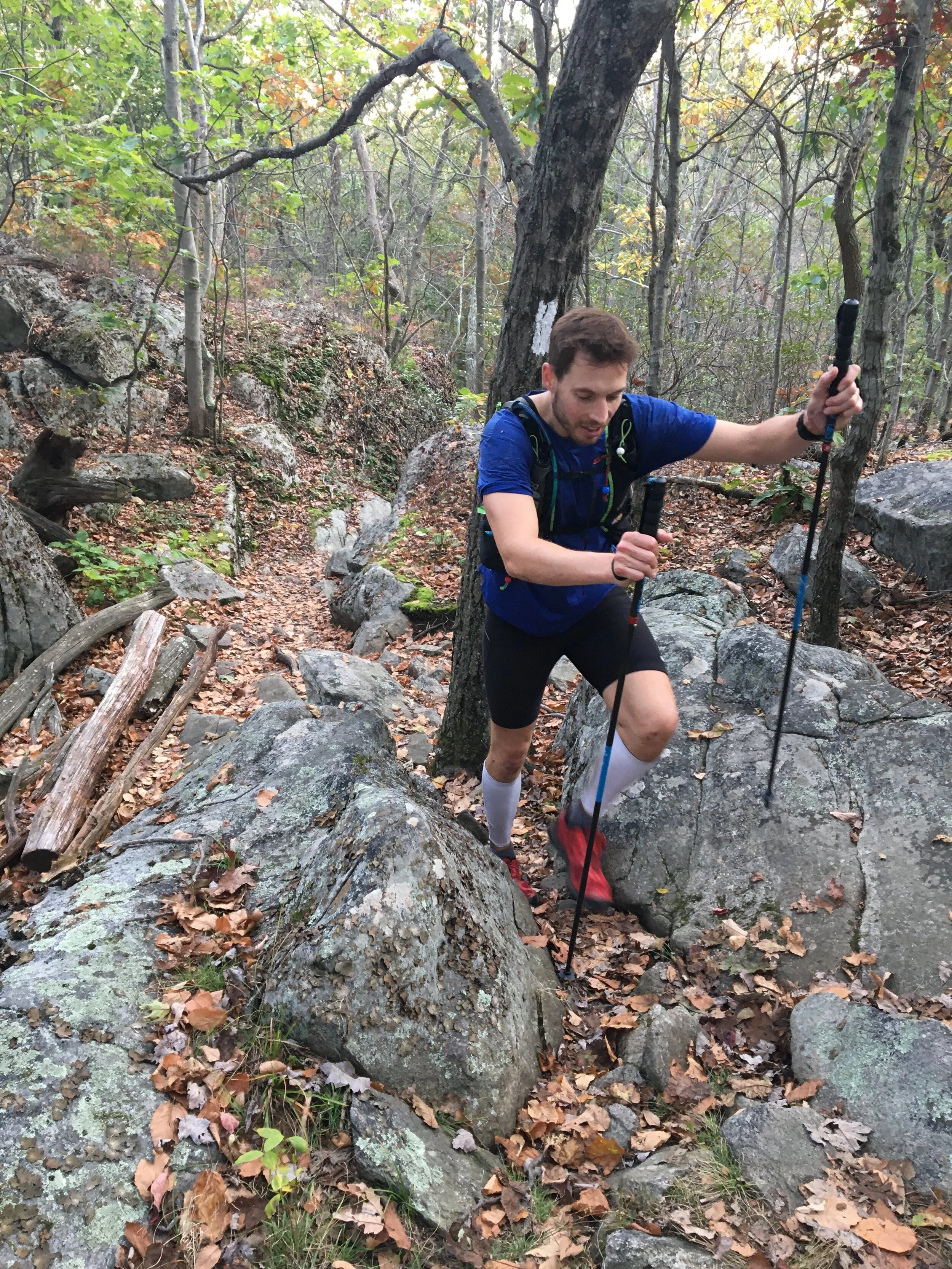
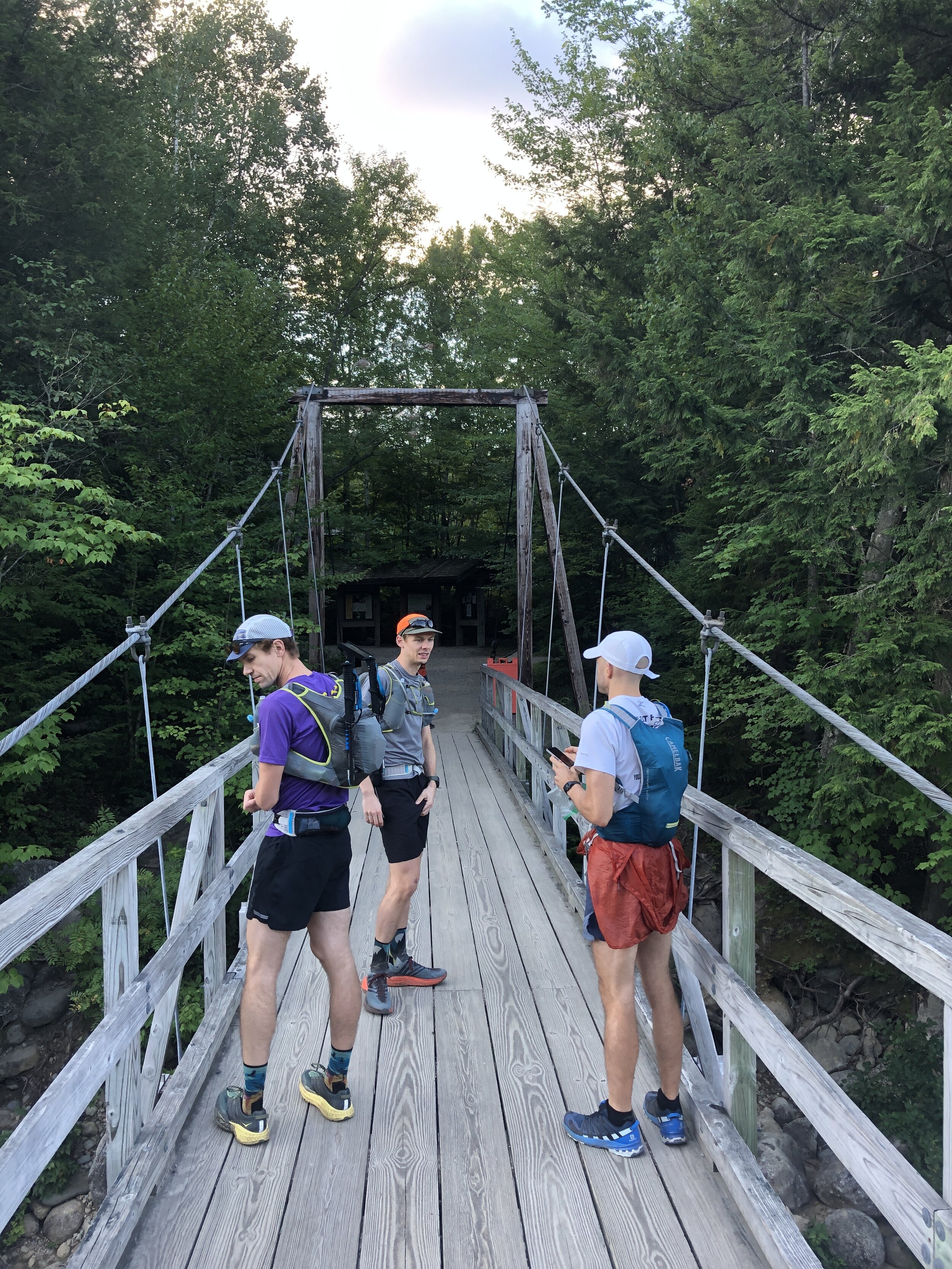
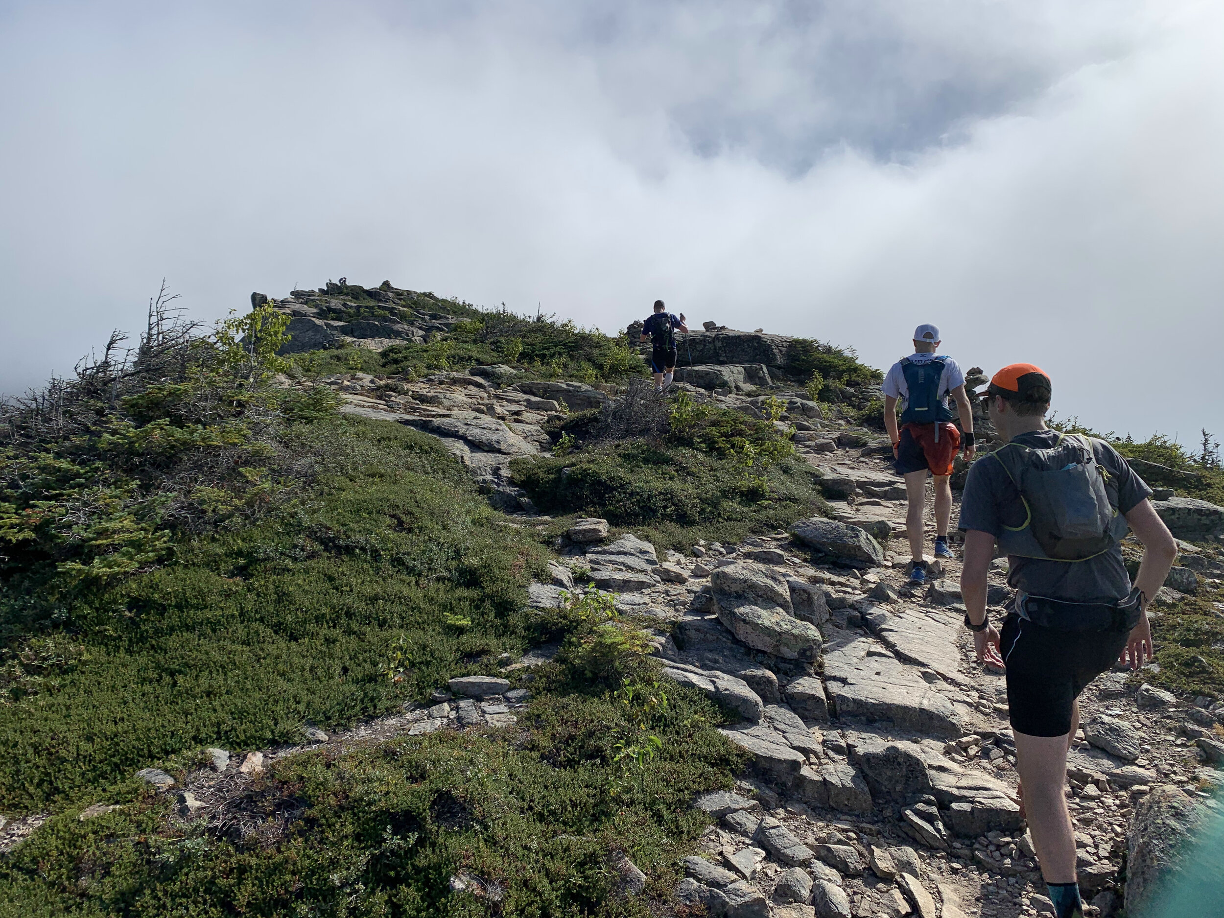
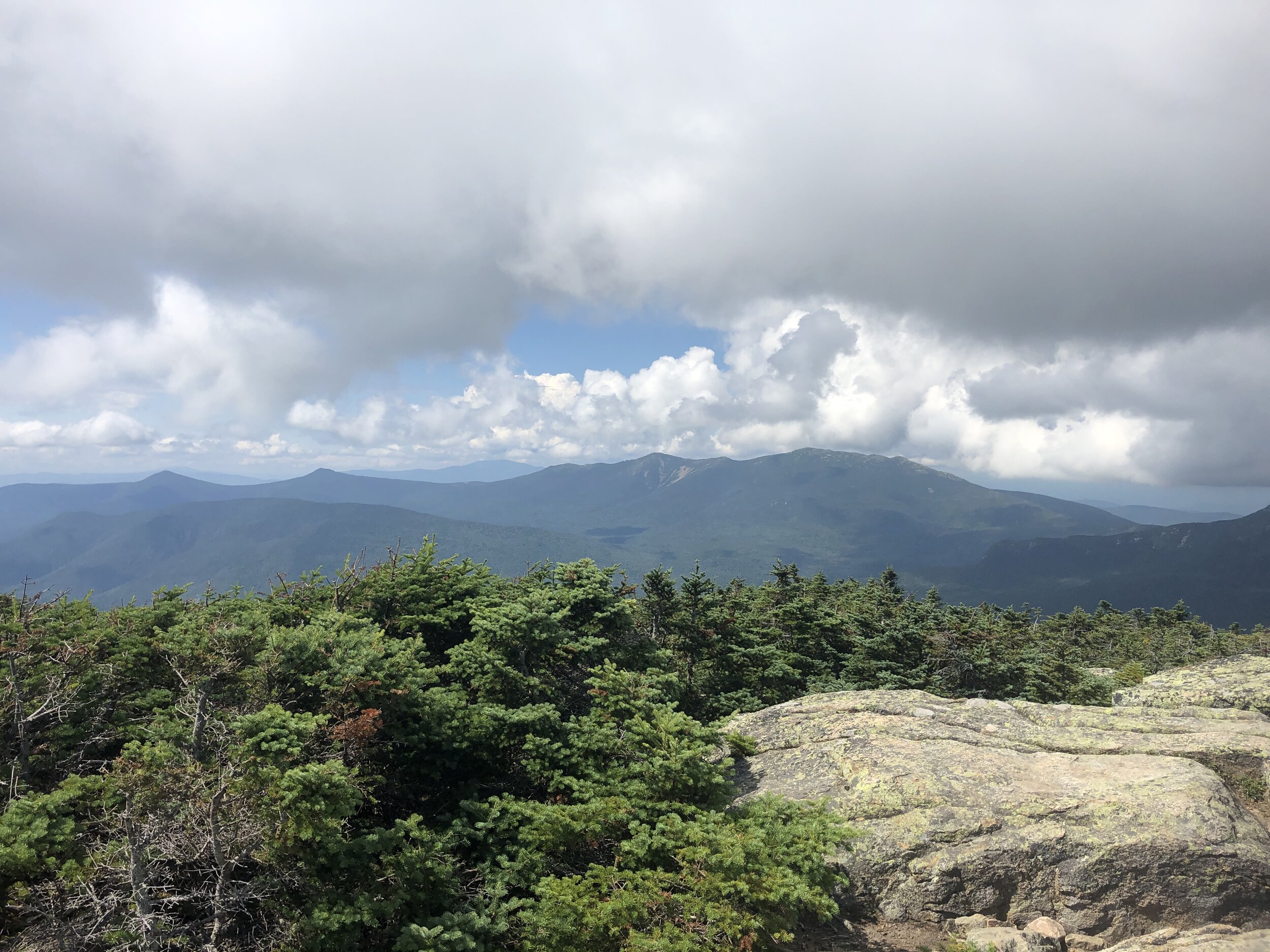
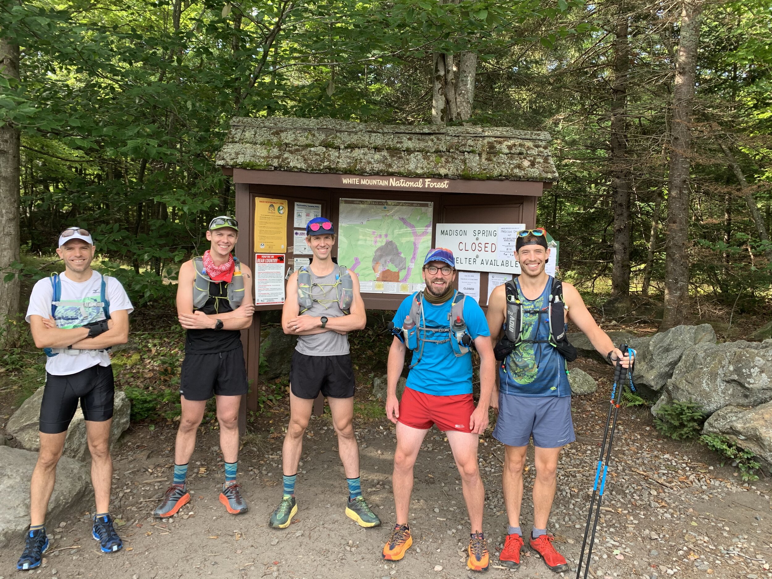
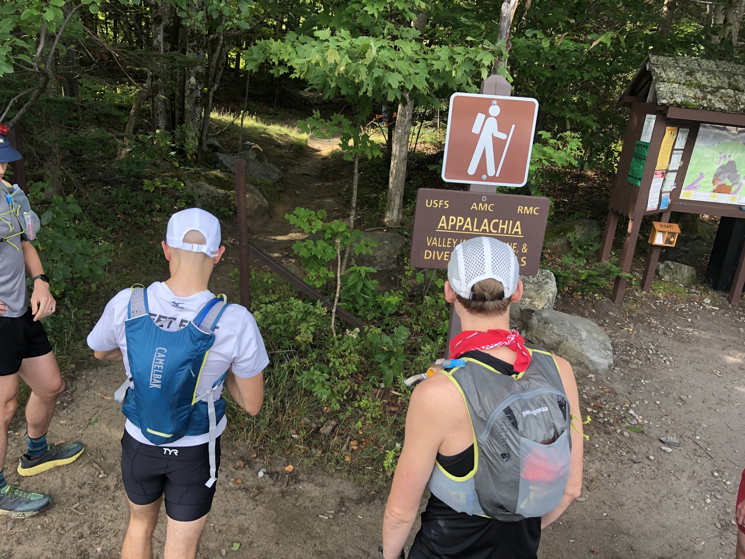
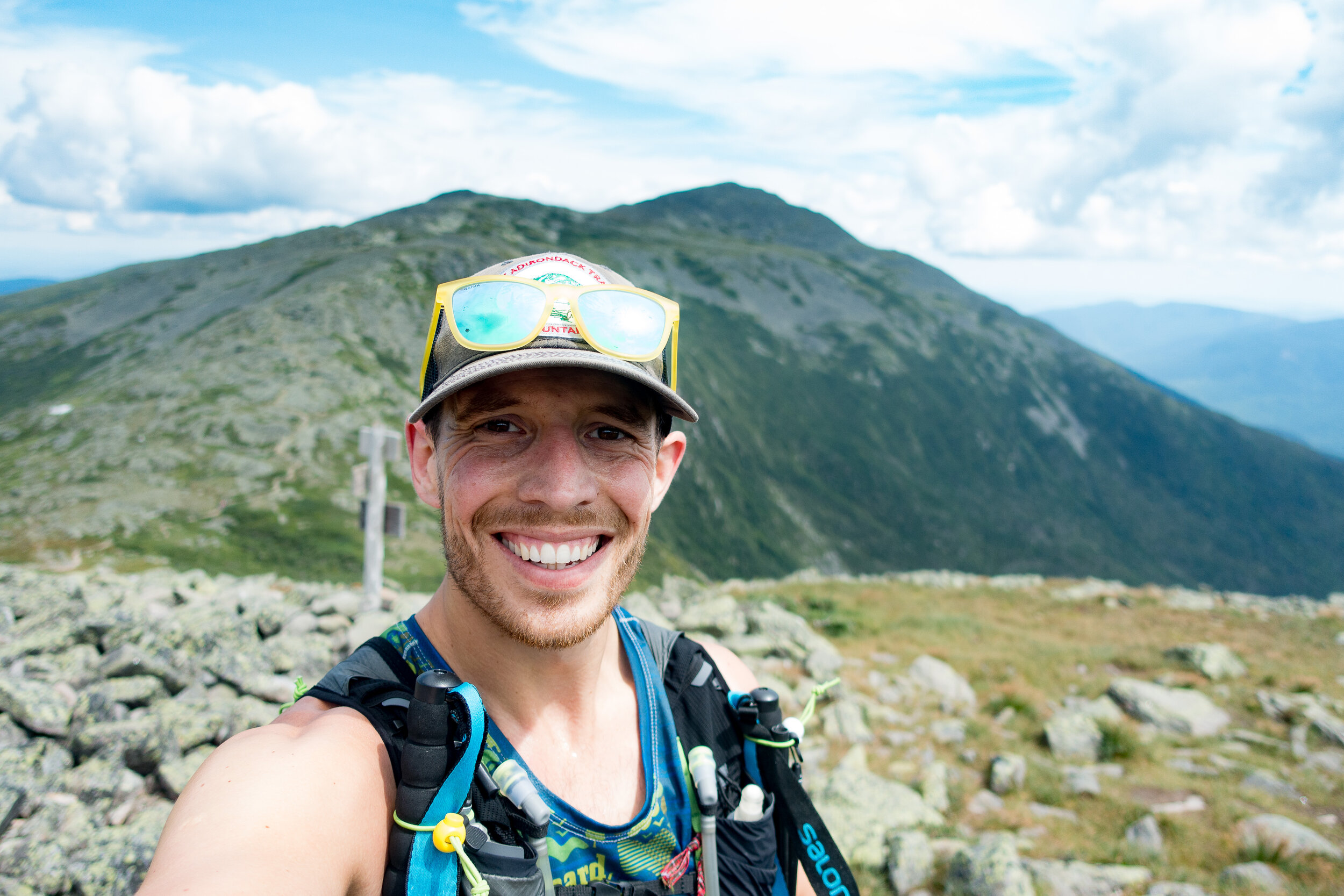
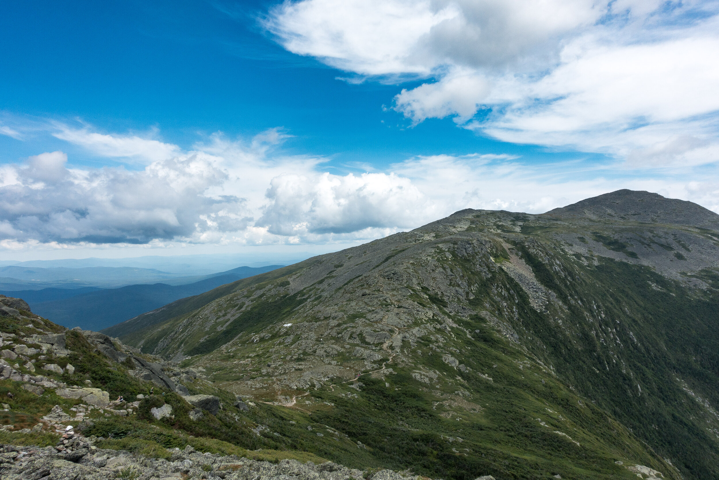
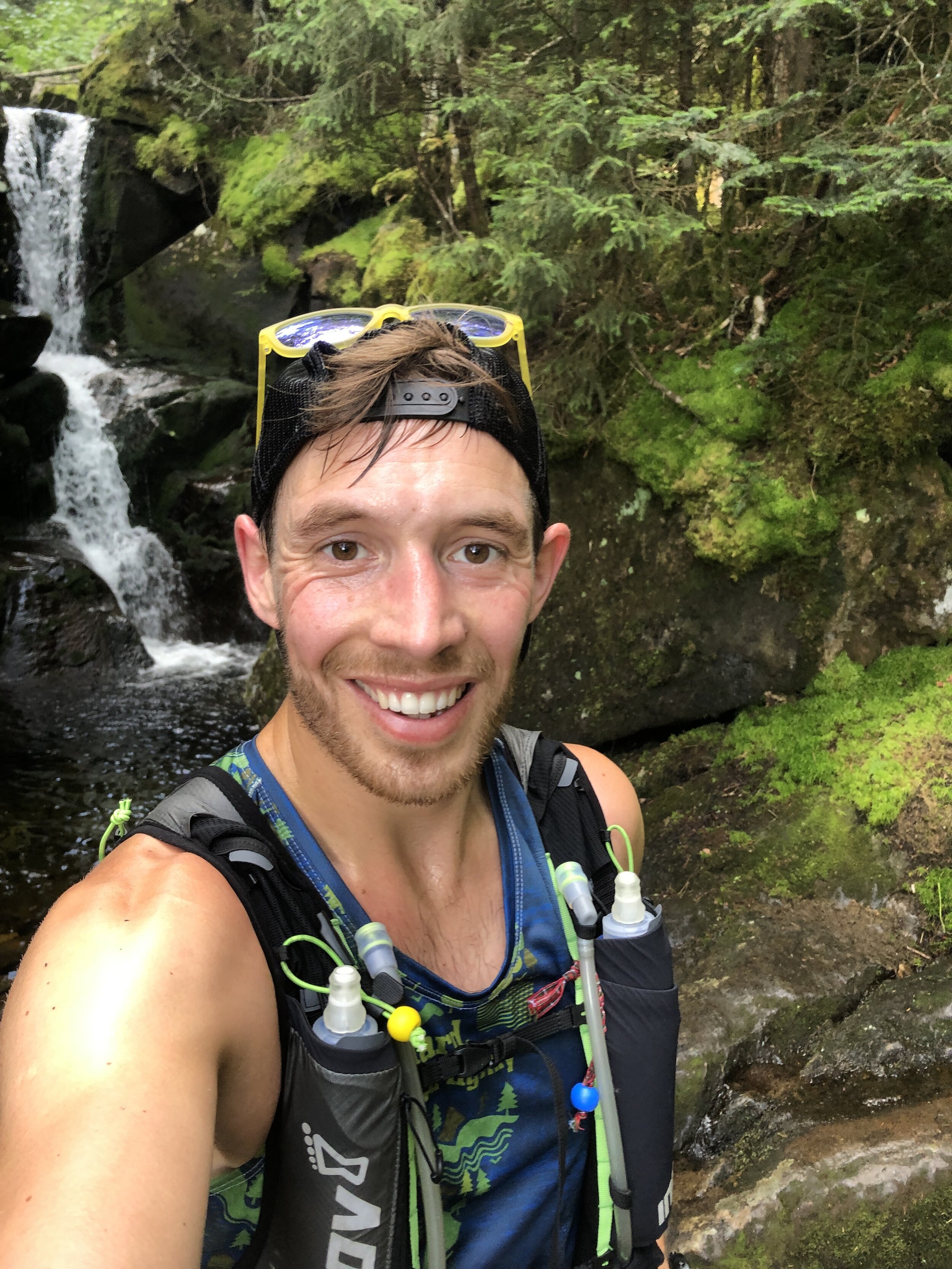
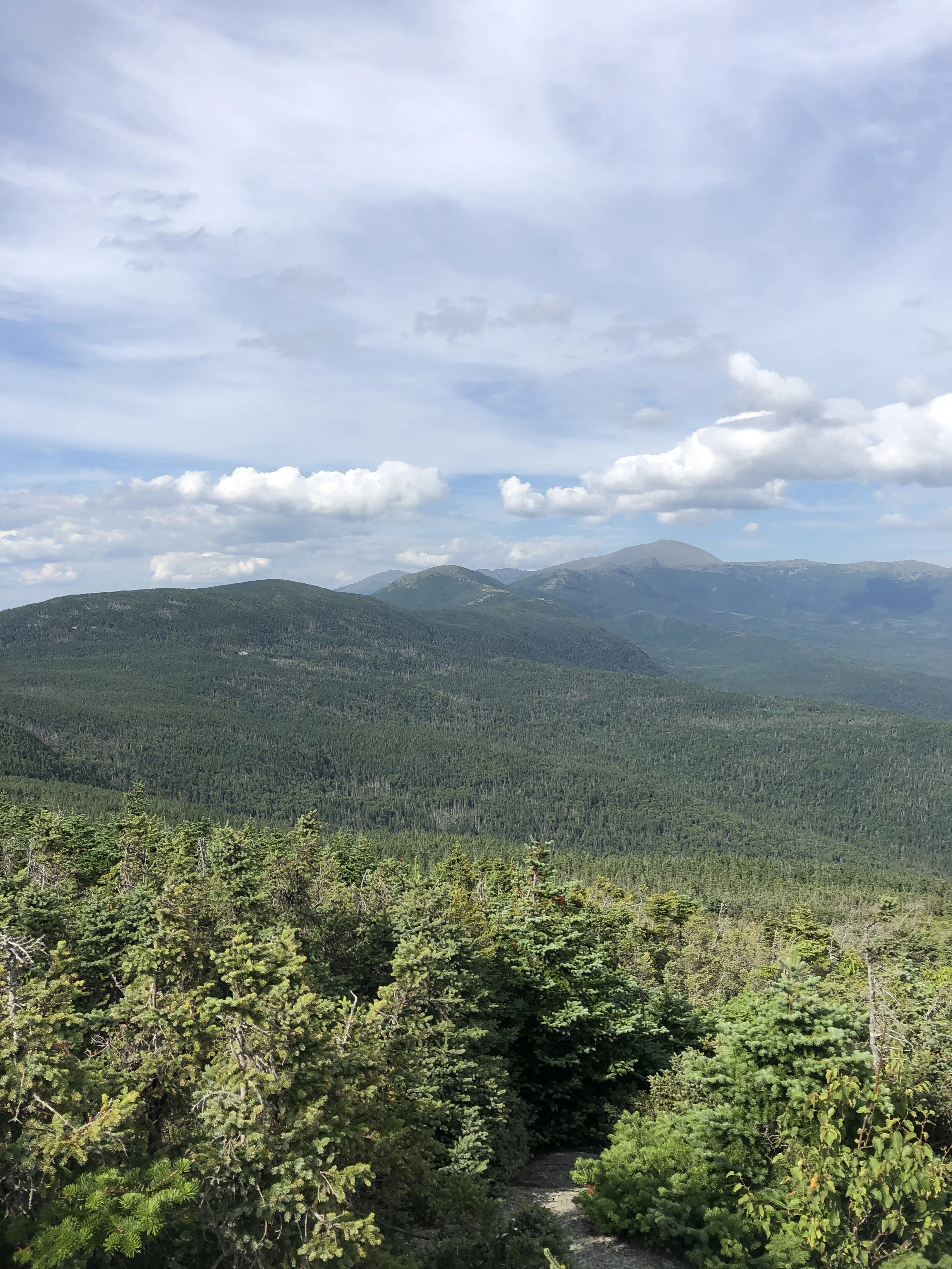
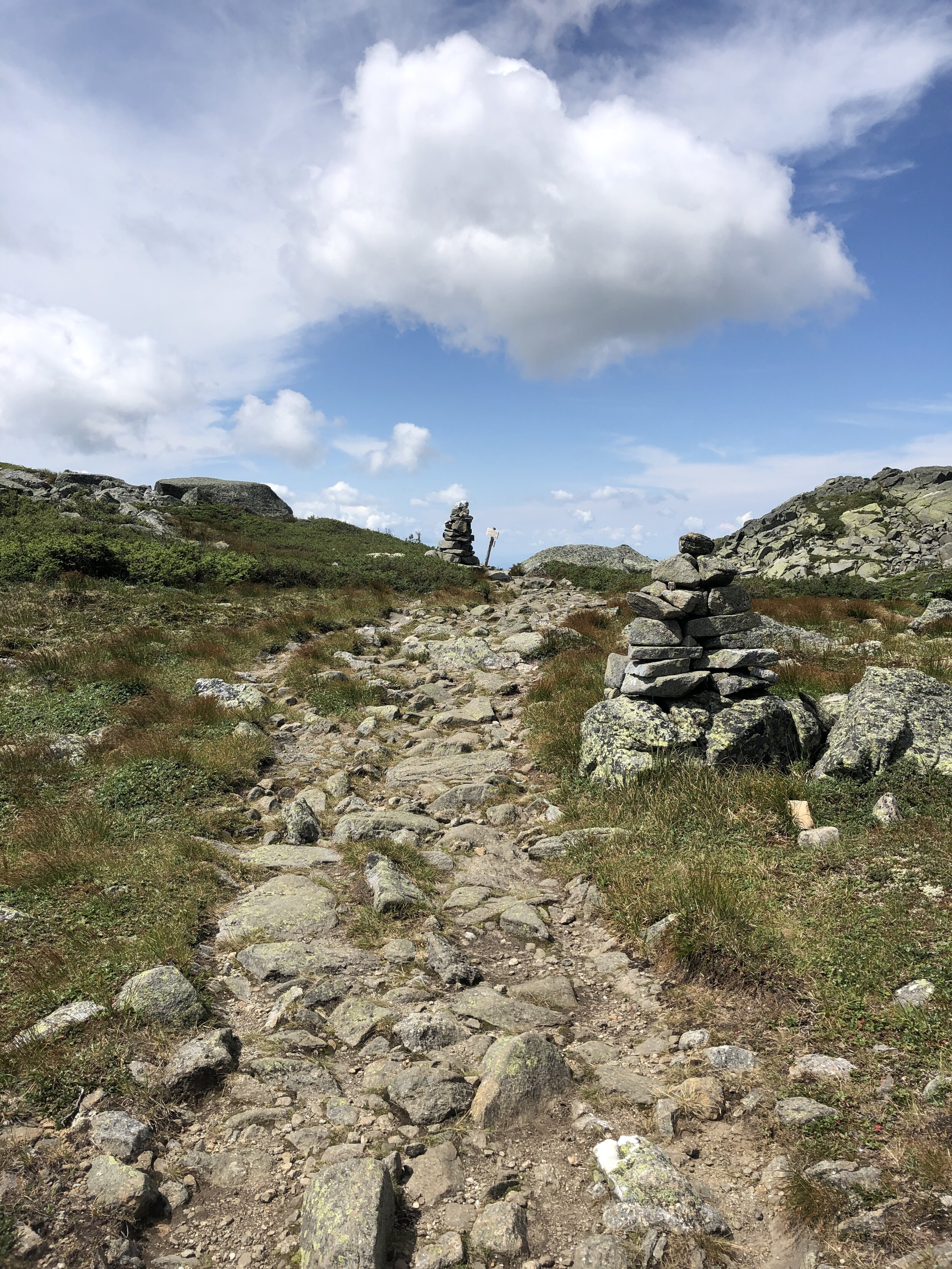
The plan was to reach the trail head around 7 am with us trying to maximise the amount of daylight on the trail. The first difficulty of the day was finding parking as despite our early arrival all the spaces were already filled along with a significant amount of parking going on up the main road. After a walk to the starting area we arrived at the bridge that marked the start of the trail, we took a few pictures before heading on up the trail. We were doing the route in reverse as we wanted to run what we thought to be the more challenging section out the way first. First up was a few miles of no climbing where we made quick progress dodging between groups headed along the pine covered trail, the scent of pine trees in the crisp morning air. The slightly bouncy surface felt like we could run for days on. The climb came to a rather abrupt beginning with a steep and rocky climb up into the mountains. Making progress bit by bit up the mountain towards the first summit of Bond Cliff standing at 4265ft ( 1300m) followed shortly afterwards by Mount Bond 4698ft (1432m). We arrived above the tree line to incredible views, blue skies and wispy clouds drifting over the summits. The views were mind blowing. One of our group made his way towards a cliff edge to check out the climbing potential. Some slightly wobbly runners legs making him think otherwise about going too close to the edge. First summit down and onto the next.

Our Start Line
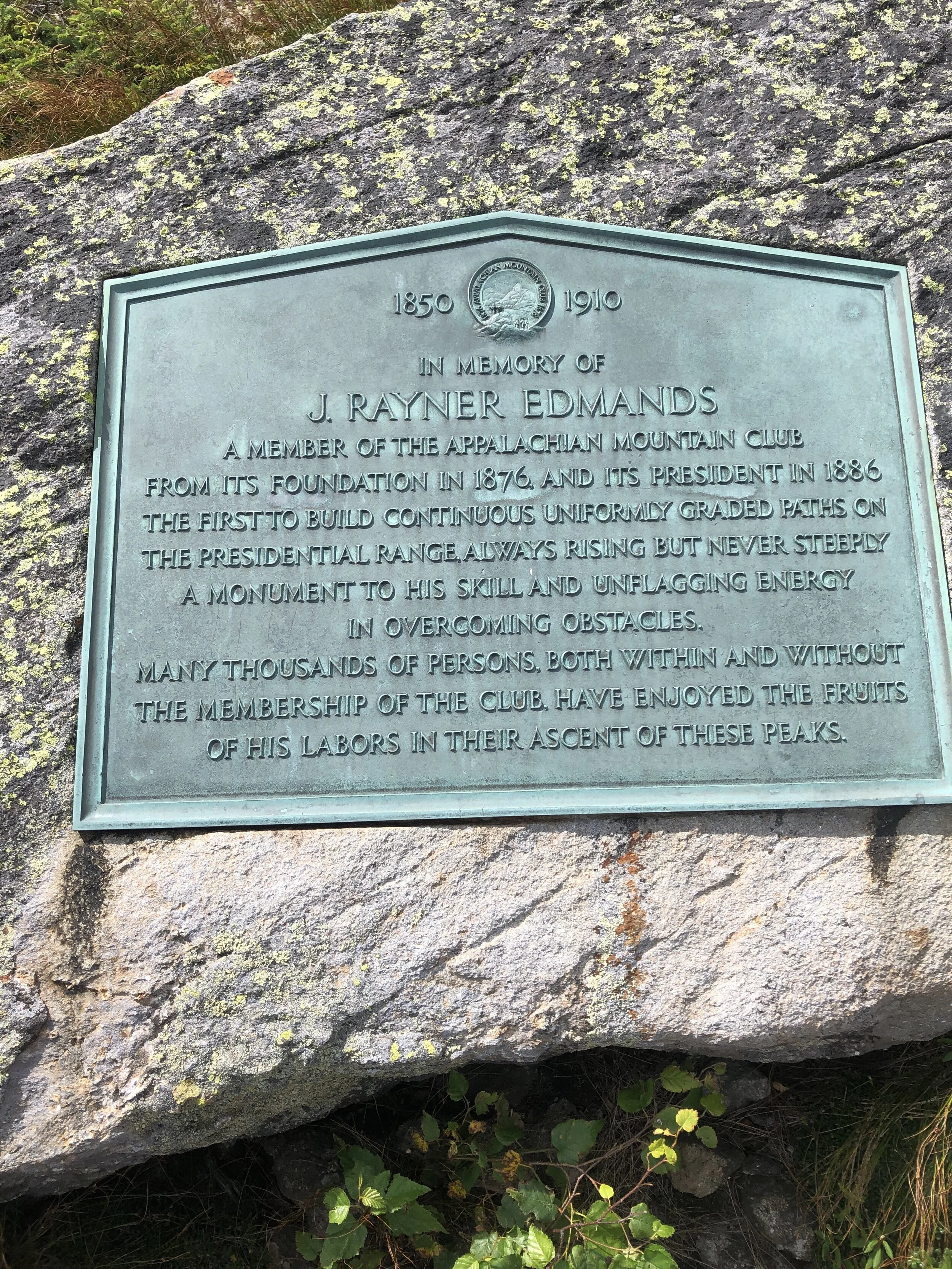
History: Mount Bond (part of the trio of Bondcliff, West Bond and Mount Bound all of which are official 4000 footers) was named after Professor George Bond from Harvard University an astronomer who in 19th Century suggest the use of photography to measure a stars magnitude. He also surveyed the White Mountains.
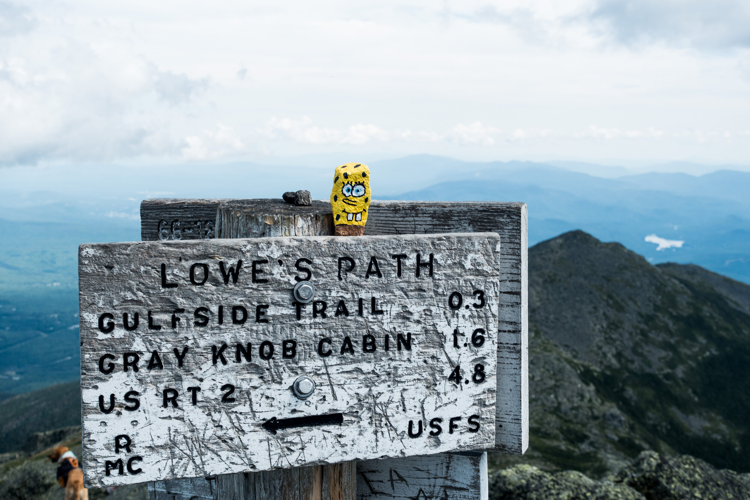
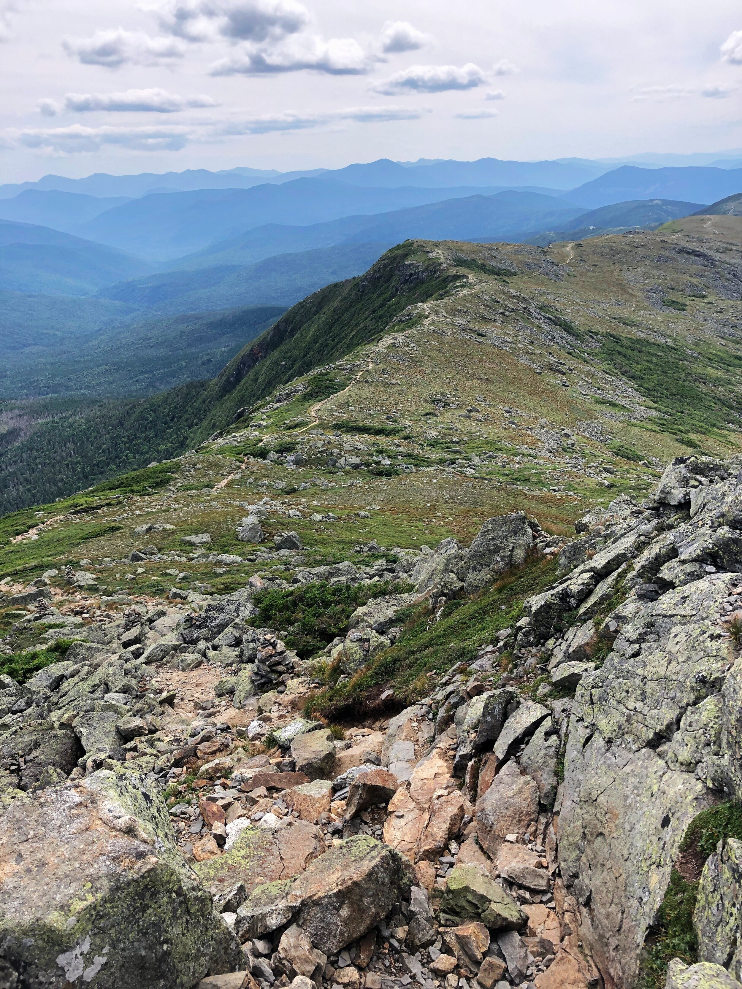
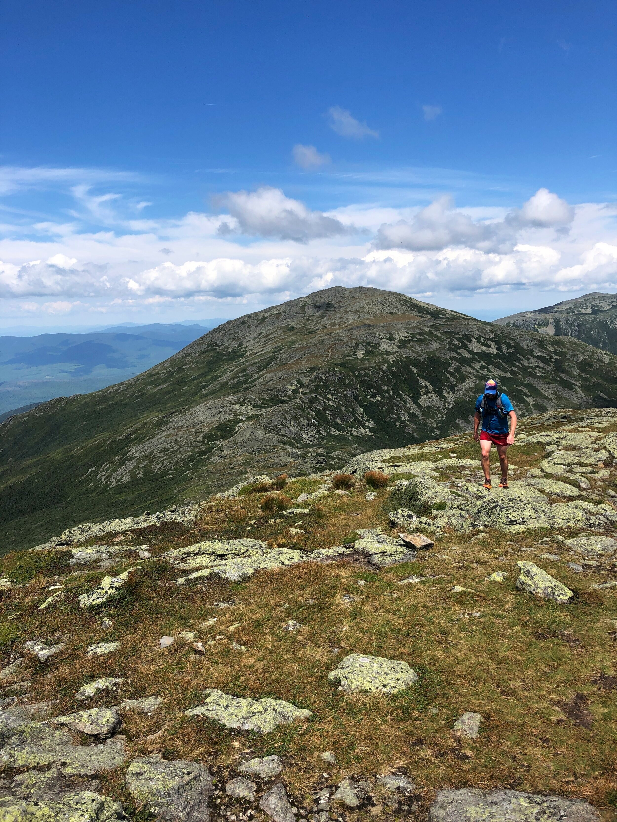
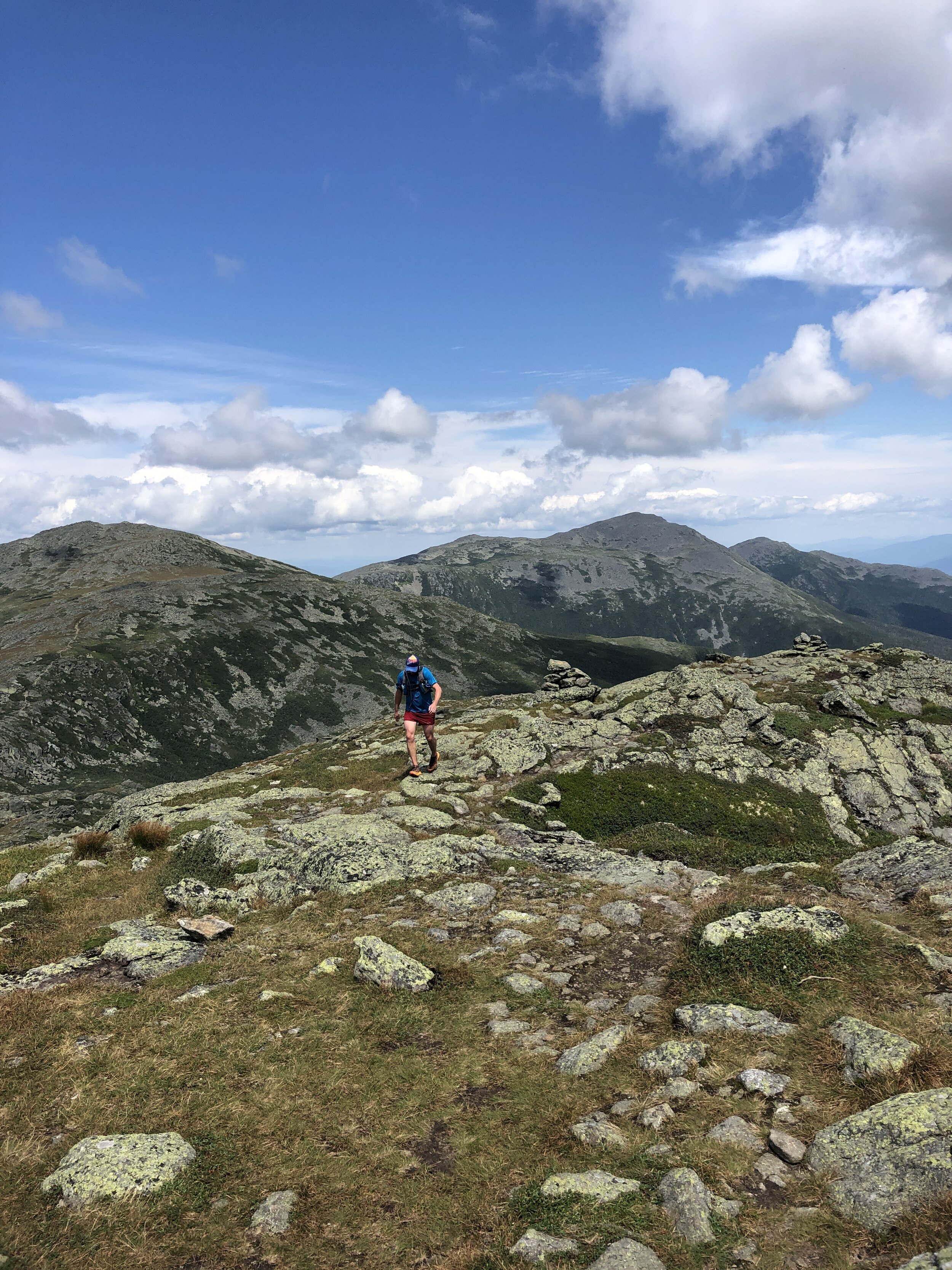
In comparison to the presidential traverse the trail was a beautifully carved out trail at this stage in the journey we moved along at a good pace as a group following the ridge line round the rim of this huge bowl all the while being able to see our final peak of the day. I have historically not enjoyed seeing the finishing point of a run but the spectacular views more than made up for the fact that the final summit teased us with our progress. Our pace ebbed and flowed with the difficulty of the terrain. The route skirted round Mount Guyot 4580ft (1396m), there was a bit of me that wanted to add these additional peaks onto the route for the day, I have since learnt about routes such as the super pemi that do. A tempting challenge for 2021.
History: The mountain is named after Professor H. Guyot from Princeton University who was a geologist and geographer. The mountain is not an official 4000 footer due to its height above the col to South Twin Mountain.
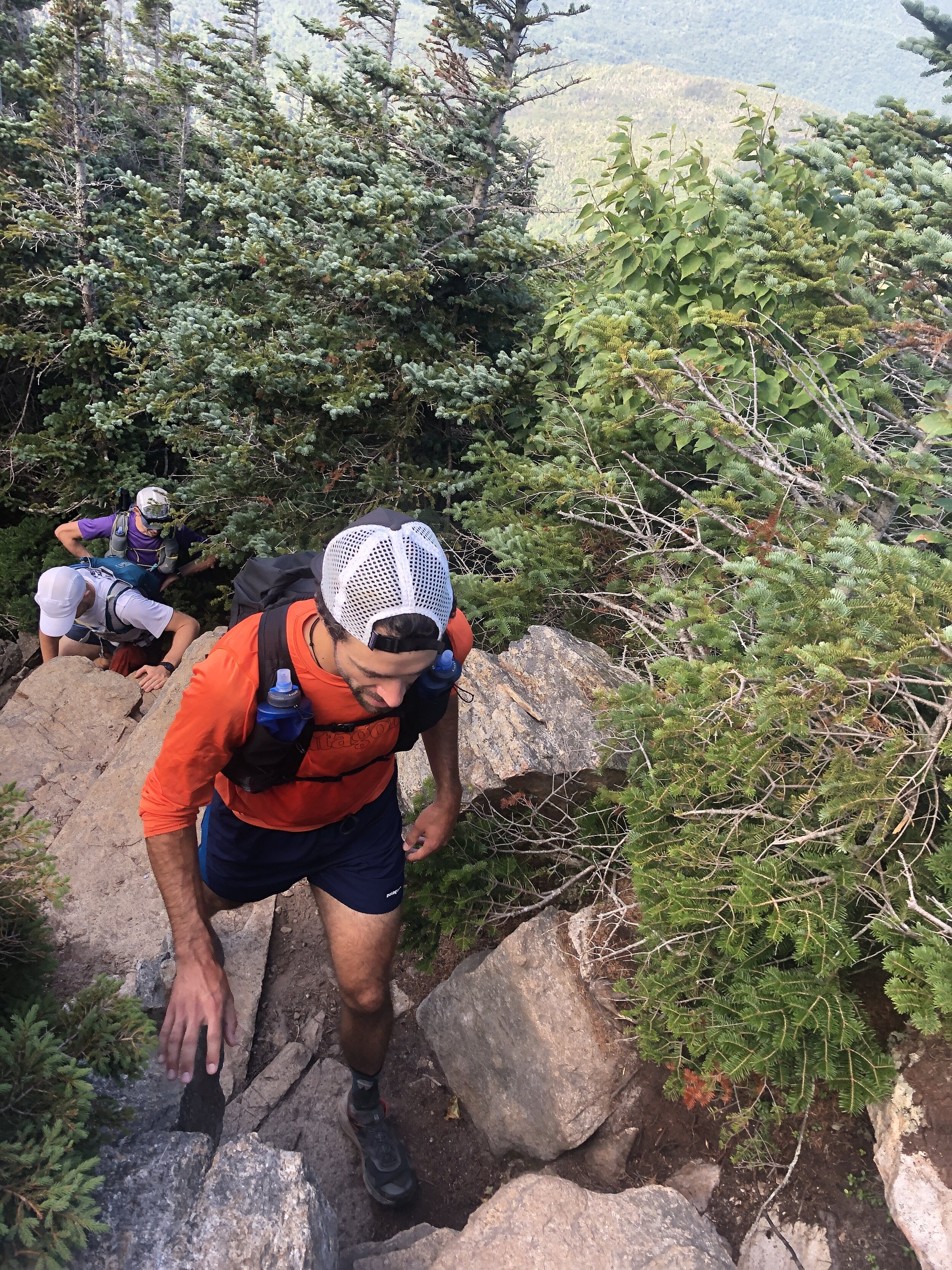
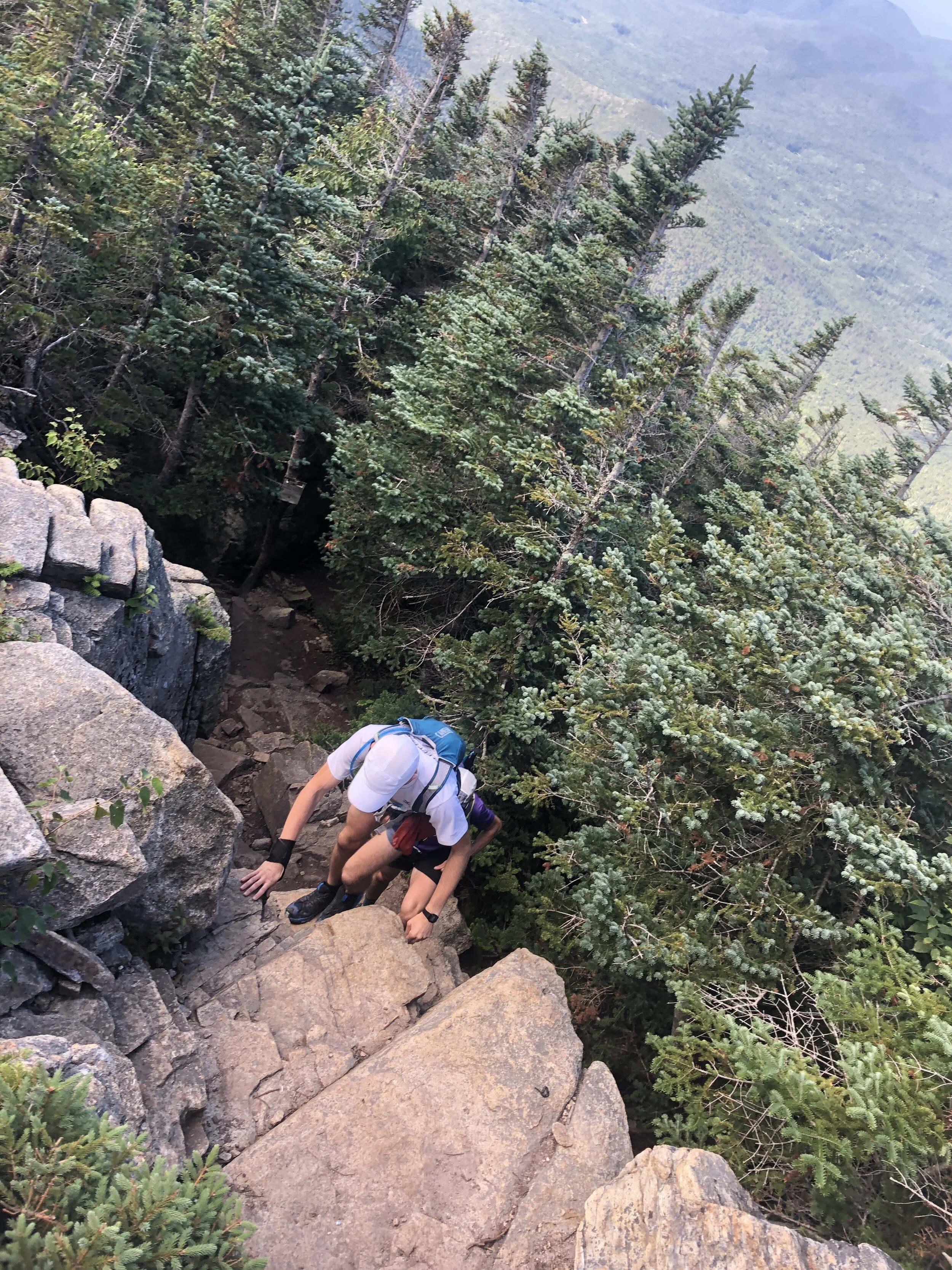
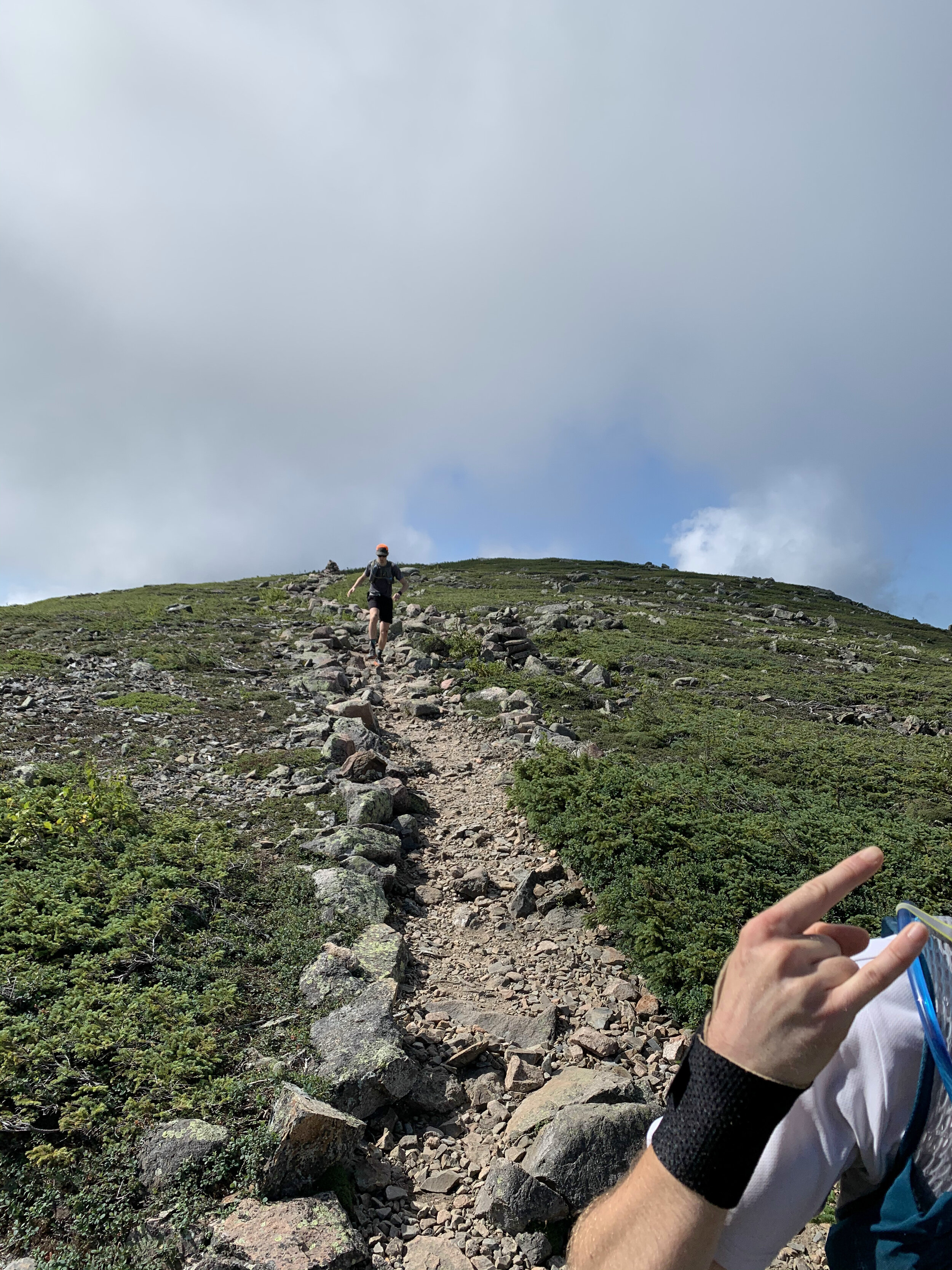
The next section was the make or break for the day with the route becoming more and more technical all the way to South Twin Mountain. Our pace slowed as we tried to be as delicate as possible hoping between rocks and roots. We started coming across more people who had been camping over night and beginning to make their way round the remainder of the trail. The thought of carrying a large pack on some of the terrain made me appreciate the light and fast approach we had taken. We were still making good progress and I was feeling really good despite having run the Presidential Traverse a couple of days before (you can read about that on this link ). We were also running as a larger group which made for a great run and at least for this first half everyone seemed to be happy with the speed and approach to sticking together.
We reached the summit of South Twin Mountain 4902ft (1494m) but given the length of the day we didn’t pause for long and made the dash towards Gale Head hut.
Quick fact: South Twin Mountain sits on part of the Appalachian Trail that runs 2,170 miles from Georgia to Maine. I still have no idea how the likes of Karel Sabbe, Scott Jurek, Karl Meltzer, Joe McConaughy and Jennifer Pharr-Davis completed the route in under 50 days. Mind blowing the speed and endurance these athletes have.
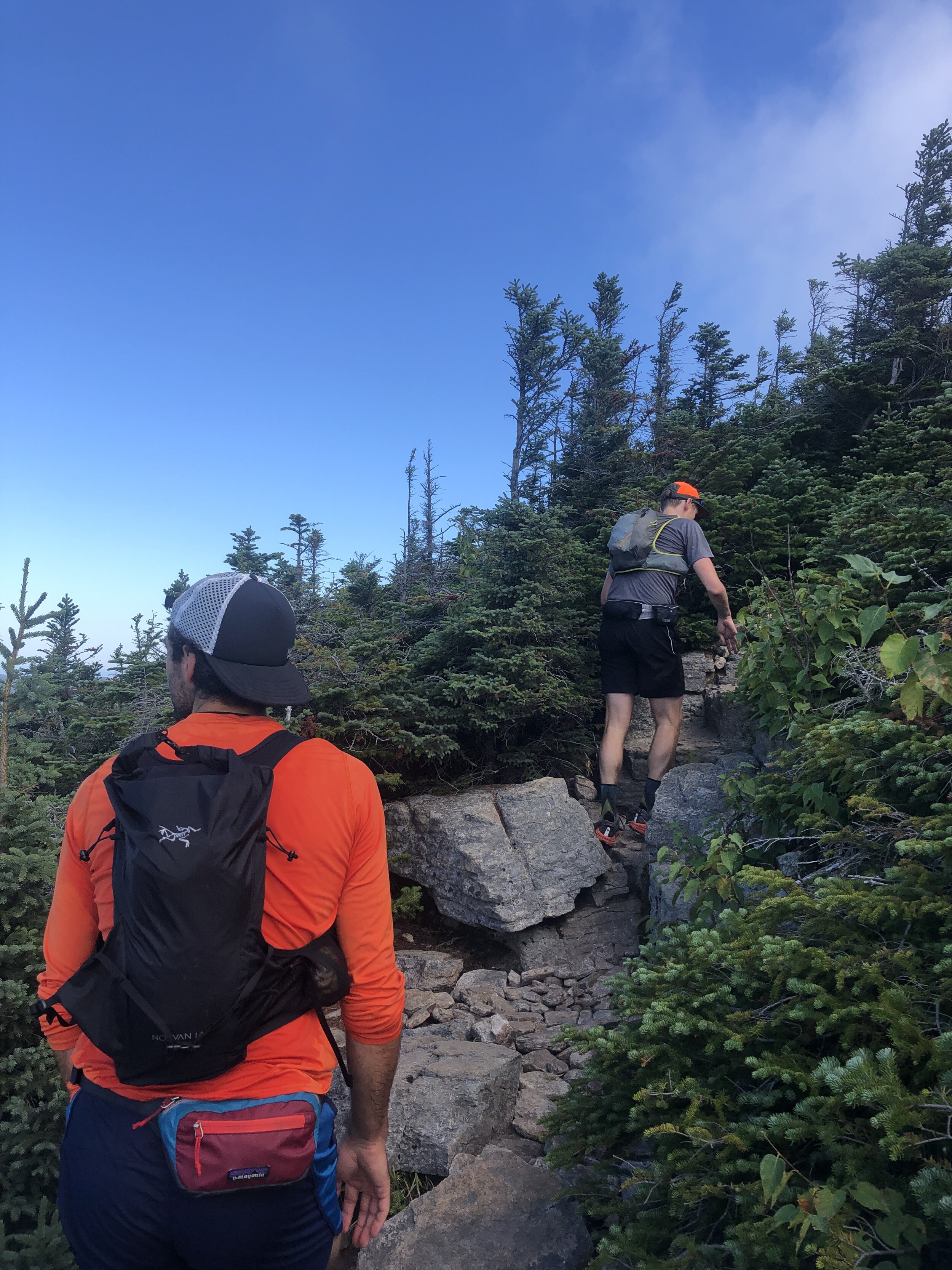
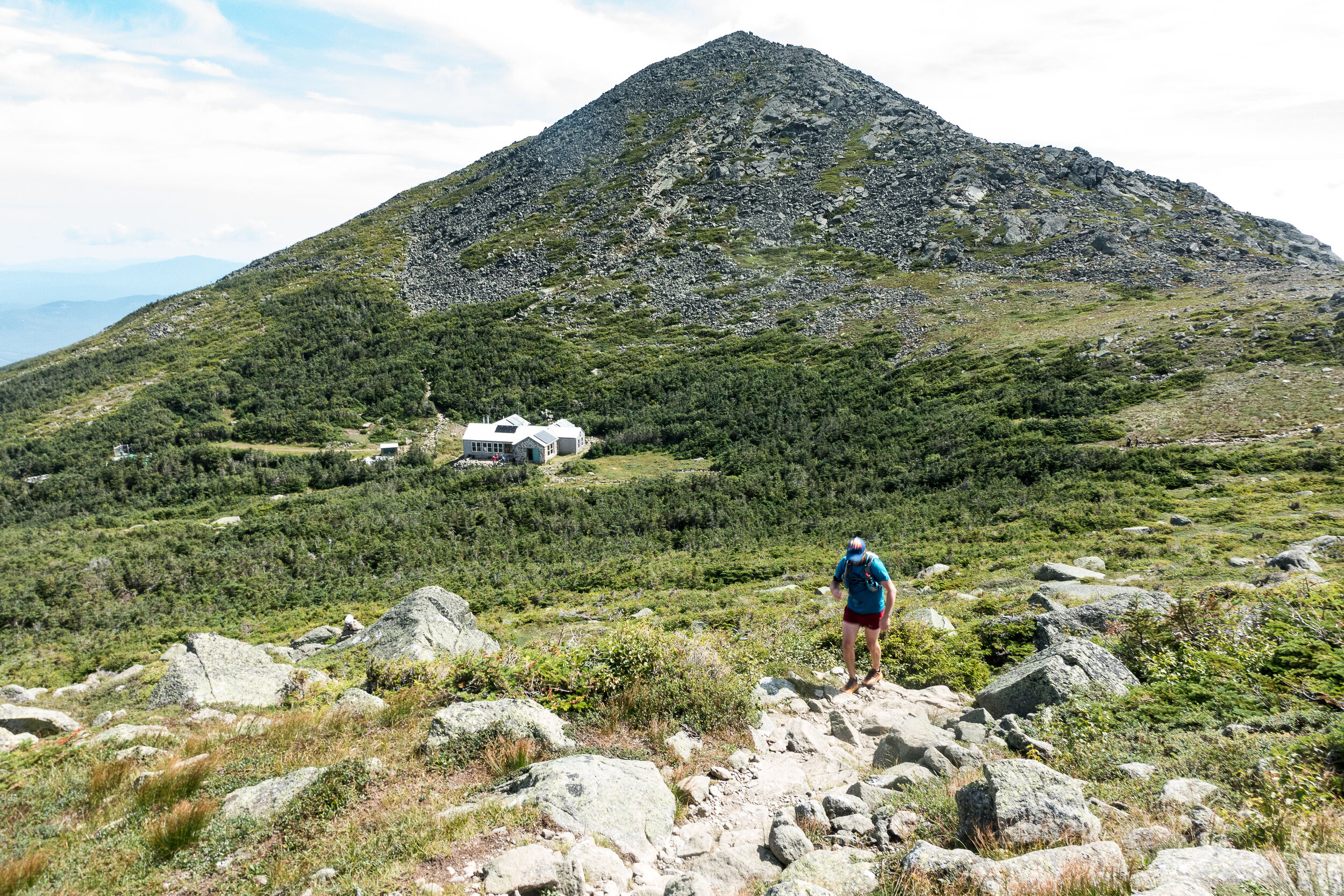
After this summit the route dropped down considerably towards the hut marking our midway point, it was here that the rocks and rugged terrain really took a bit of a toll on the team. I used the last of my water coming into the Gale head hut, perfect timing. We paused here surrounded by other runners and hikers topping up on food and water. Greg grabbed a burrito, I grabbed a brownie for the trail. Meanwhile some of the guys were patching up their feet for the second stage of our run. The sun was out and beamed down on us all as we sat soaking in the rays. It was time to head on and make the most the the day light as we all wanted to minimise risk of spending any time running in the dark. It was this second section where the groups pace differed a little and we naturally broke into two groups as the trail meandered up and down towards the next summit of Mount Garfield 4413 ft (1345m). It was here that the weather started to turn with clouds beginning to build all around us. We had been incredibly lucky with the weather so far on this trip and I was wondering what would be more pleasant sunshine or a touch of rain to cool us down as we ran along. I should have spent my time wishing for the sunshine!
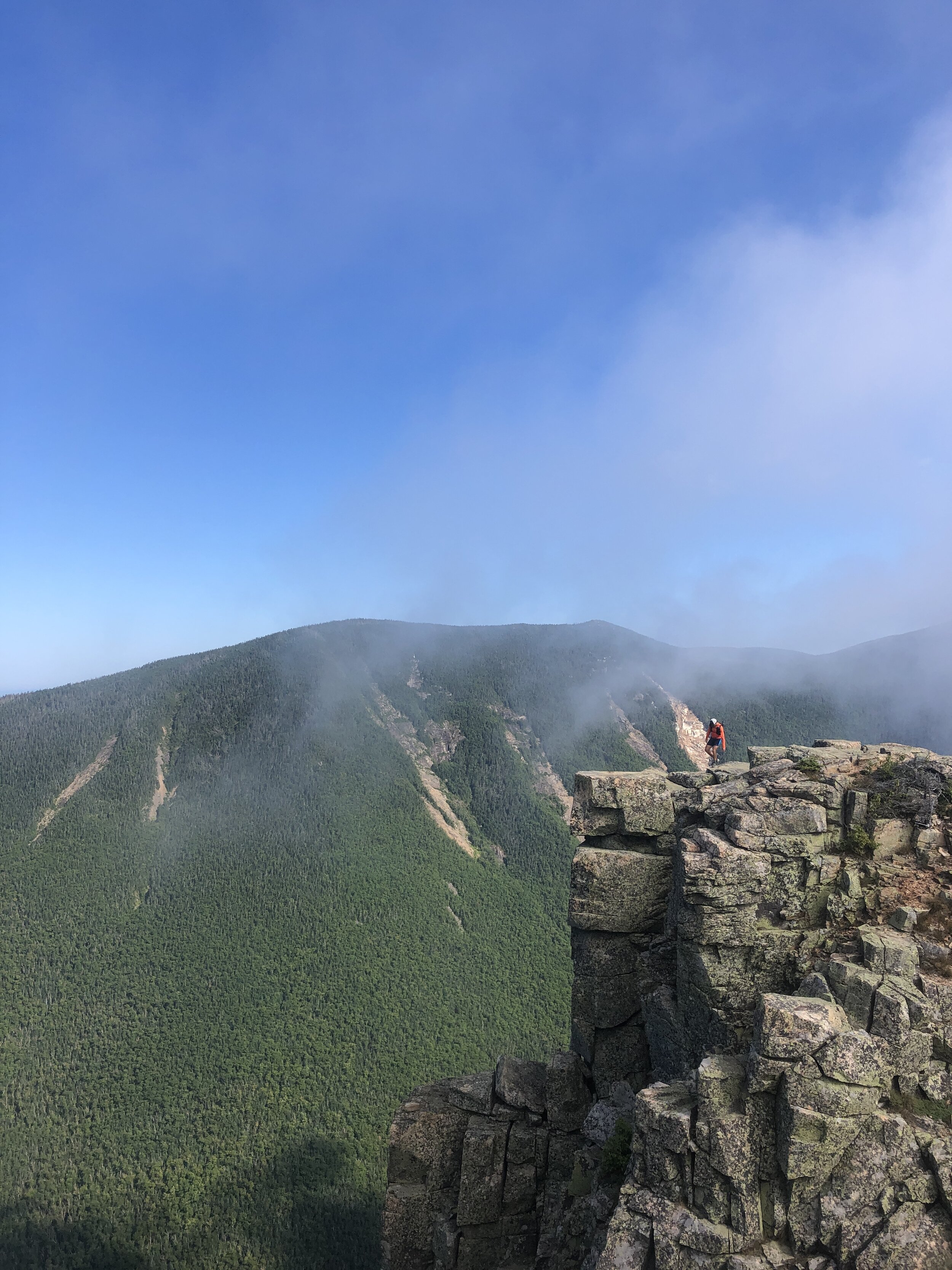
Summit number four complete and now it was time to head onto Mount Lafayette 5249 ft (1600 m). It was here that the number of people out on the trail started to increase and the weather began to really turn. Clouds started to lower over the summits covering them in a veil and as we made our way up a number of false summits the wind and rain started to pick up. Donning jackets to stay slightly warmer, we made our way carefully up the rocky mountain. Behind and below us we were trying to pick out the coloured jackets from Andy and Greg but we couldn’t make them out and in the cold, wet weather we made the decision to continue a head on to stay as warm as possible. Making the summit and there were crowds of people, despite the relatively quite trails to this point the numbers of people were incredible as was the fact that many had minimal gear to deal with the now very different conditions to the beginning of the day.
History fact: Mt Lafayette is named after General Lafayette a french military hero who fought during the American Revolutionary war and was an aide to George Washington.
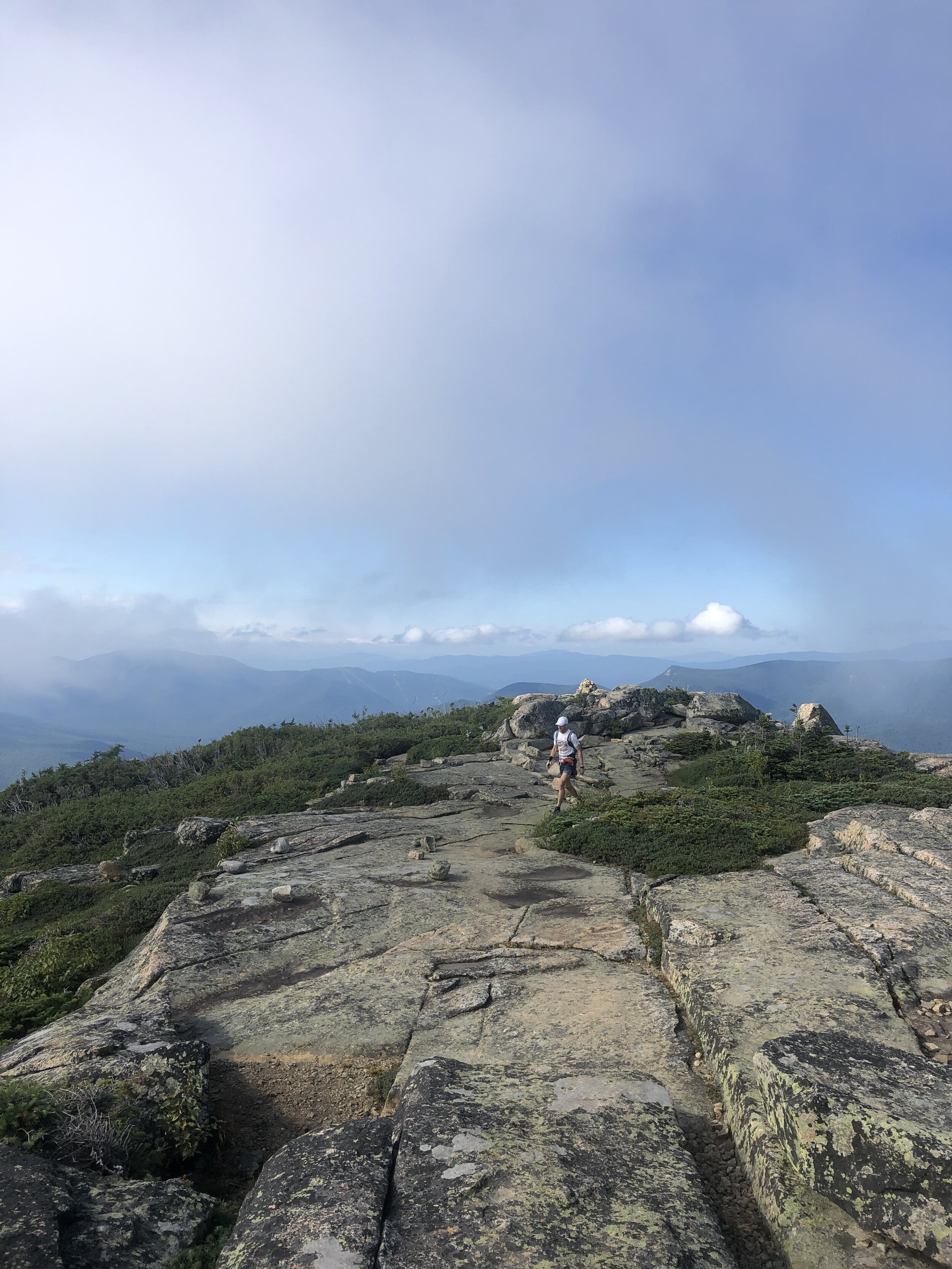
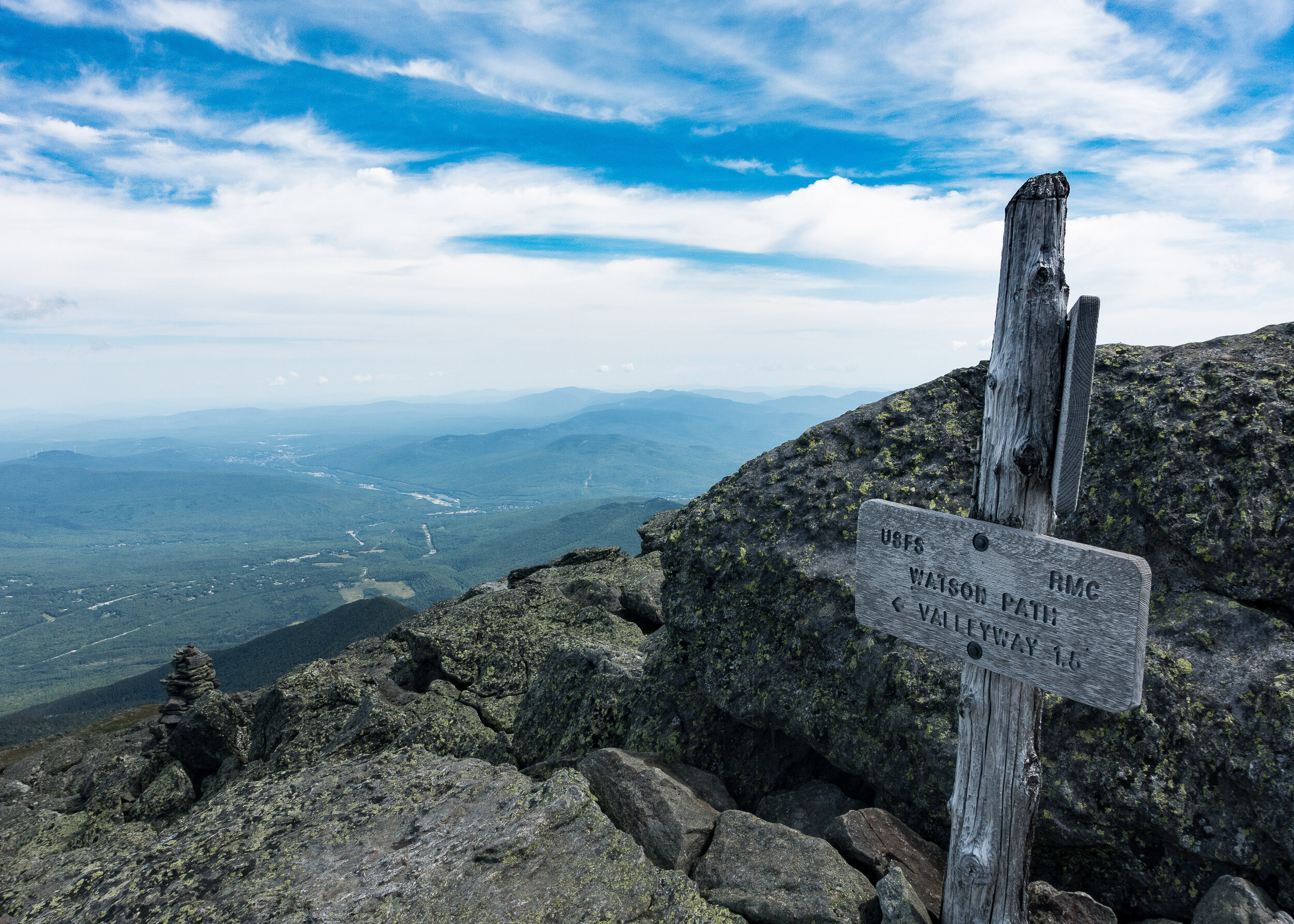
Next up was 3 rolling summits North Lincoln, Mount Lincoln and little Haystack Mountain, the three of us making good progress along the trail. And as the rain and wind started to albeit I could remove my jacket. All that remained was the final 2 peaks of the day. Mount liberty and Mount flume. We passed a few other runners along the way and as we arrived at the top of Mount Flume another group kindly took some photos of us before the descent to the finish.

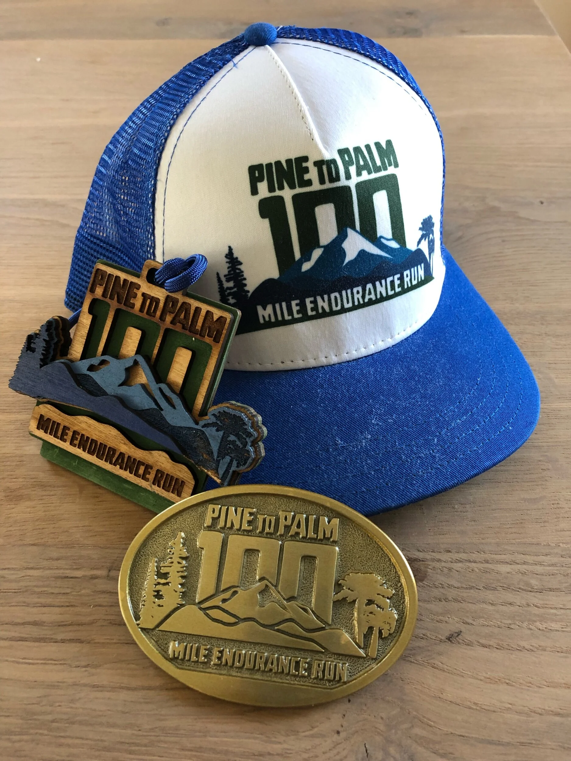
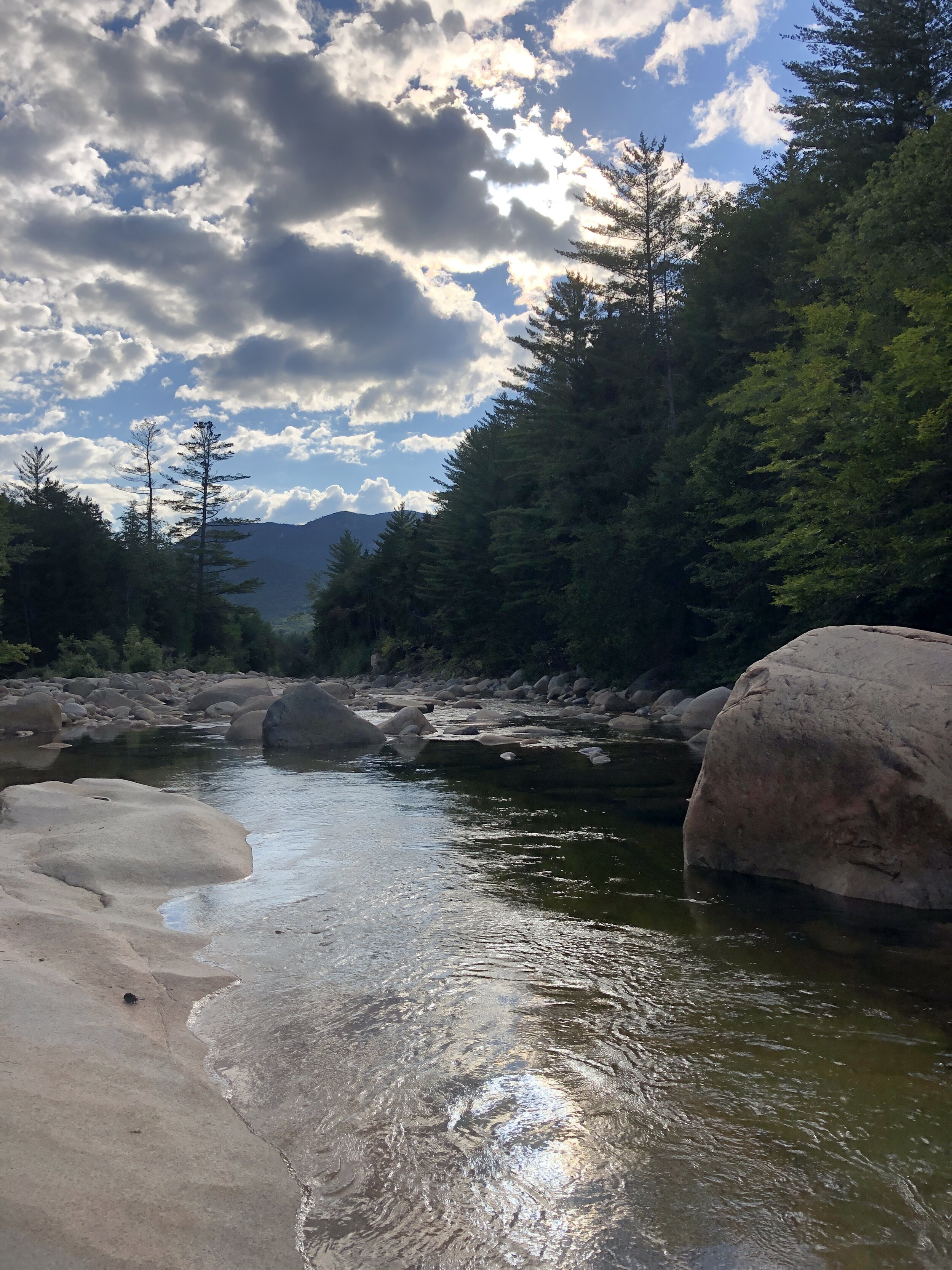
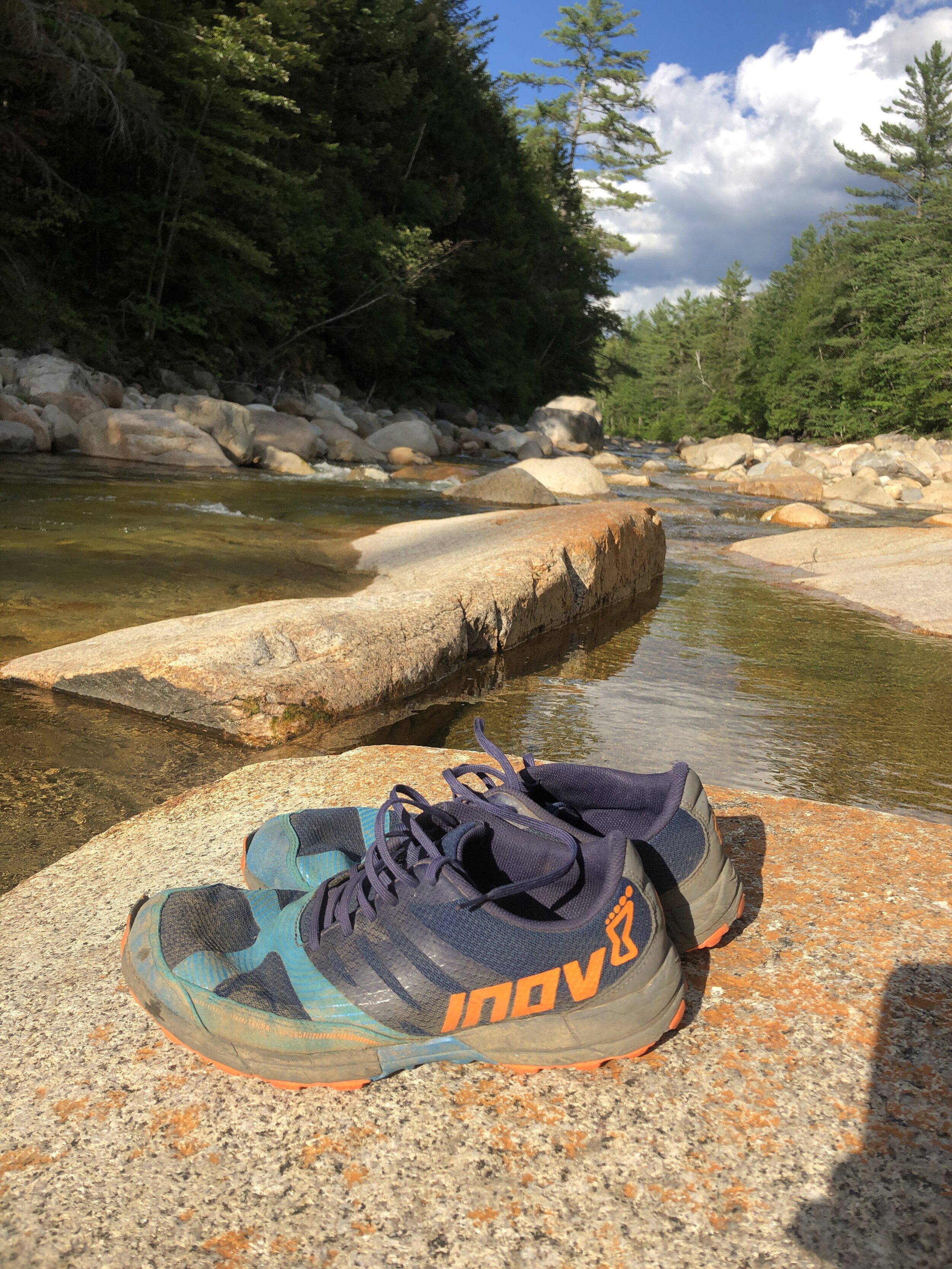
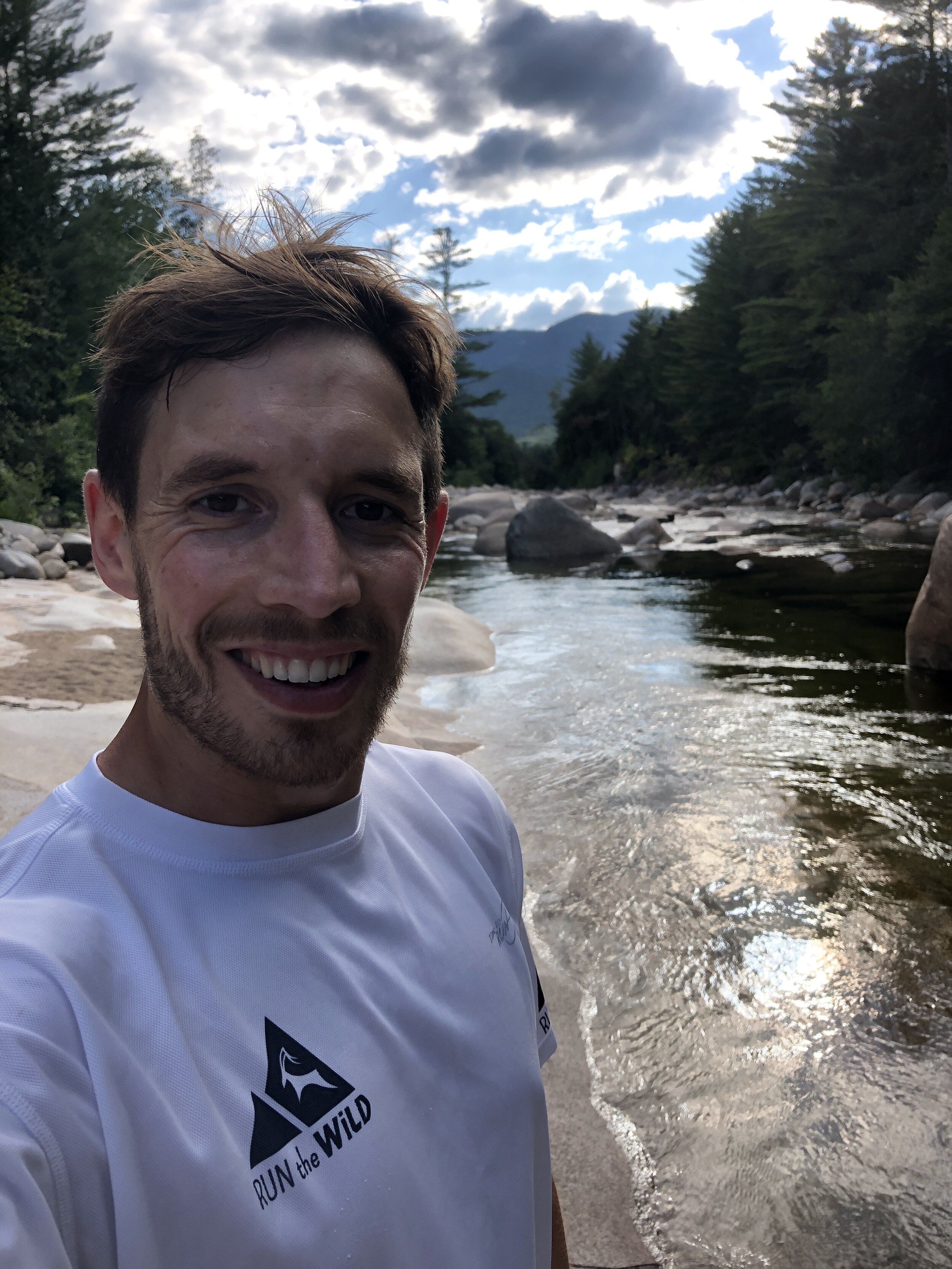
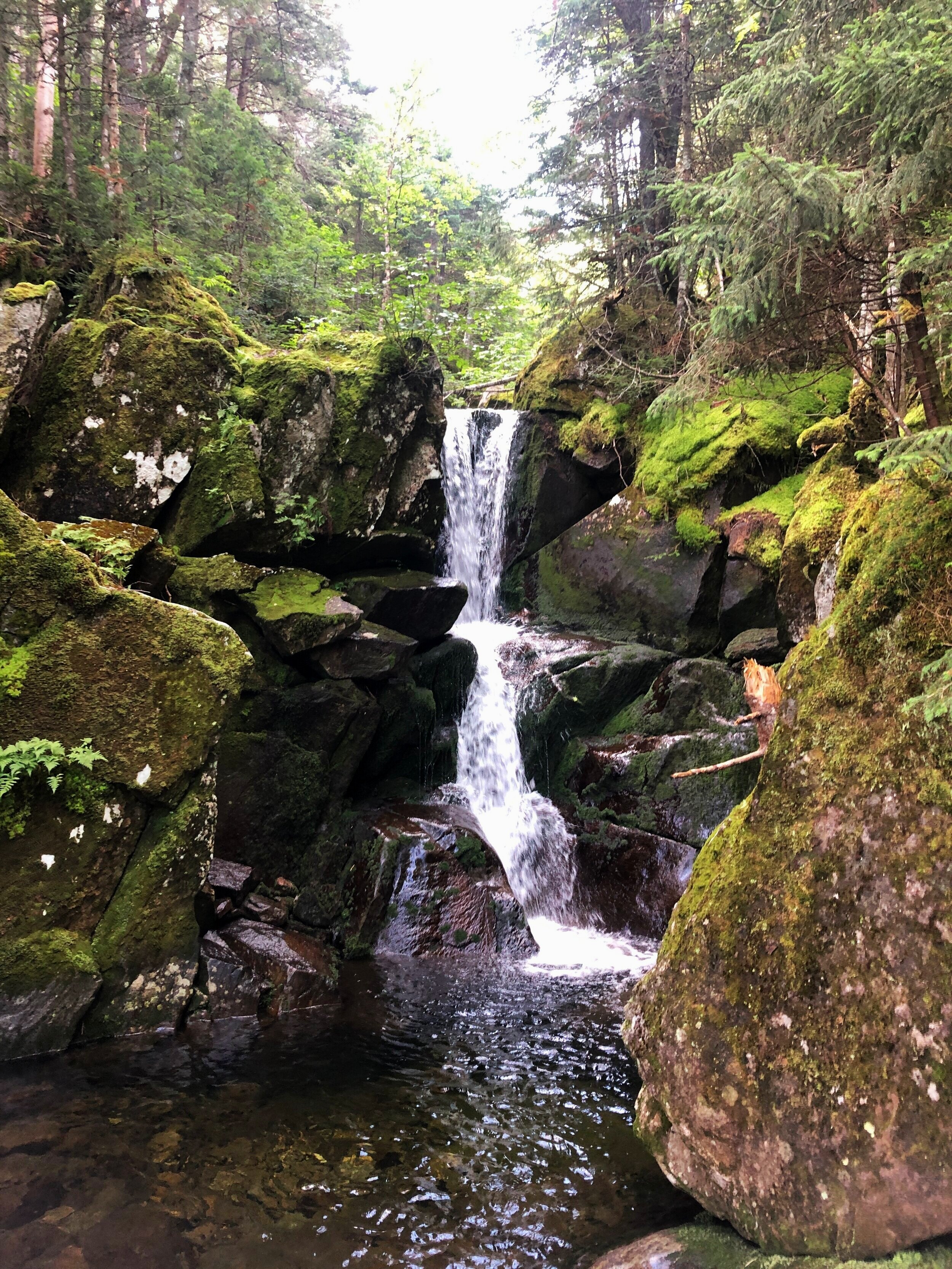
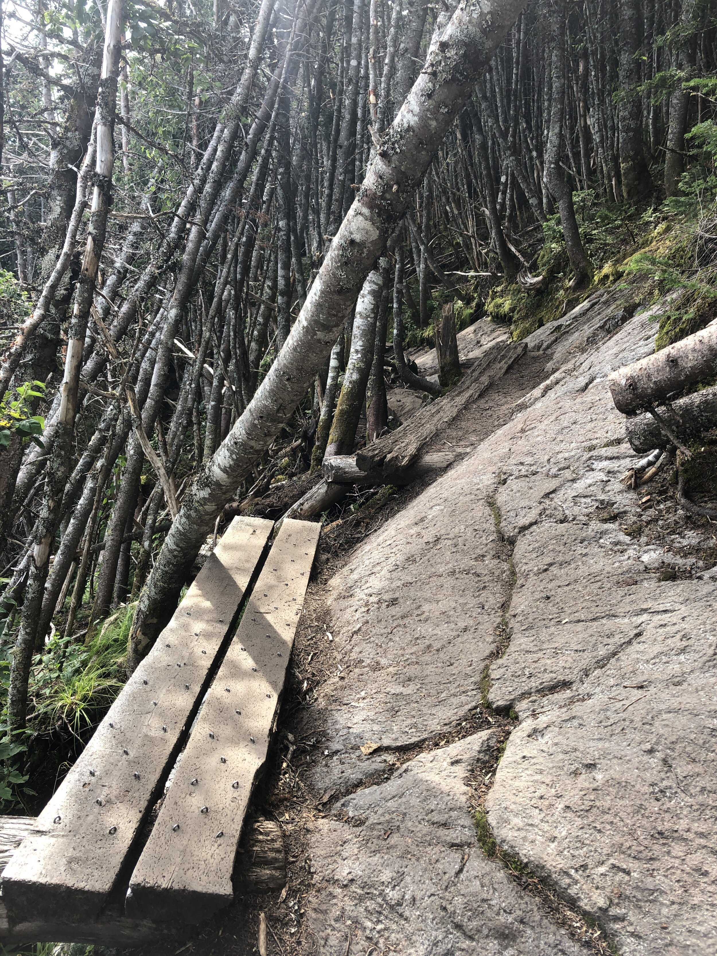
The final descent was certainly one of the highlights of the day. The trail for the most part felt like a perfectly designed trail carved for us down the mountain, our speed began to naturally pick up on the way down as we inched our way to the finish. Ever expecting the terrain to suddenly change and hamper our progress. Instead the trail became better and better all the way down. Broken up occasionally by some incredibly crafted wooden steps that covered the more challenging sections. The trail soon became a hard packed trail more similar to the one I experienced on the Pine to Palm last year (you can read about that experience here). The final couple of miles were pure elation running freely down the pine tree trails and then onto the hard packed route we initially ran on at the beginning towards the bridge and our finish line. Our pace kicking up a couple of notches for an almost sprint finish. Touching the bridge we had done it (watches stopped to capture the all important finishing time, as they say if its not on strava it didn’t happen….). All that was left was for us to bask in our glory whilst drinking a beer and soaking in the nearby stream.
Stats for the long weekend:
Days: 3
Distance covered: 56 miles
ascent: 20,000ft
NH 4000 footers completed: 16

The Presi Traverse
Distance travelled: 20.08 miles
Altitude climbed: 9,469 ft
Total Time: 8hr 7mins
When I arrived in the US 4 years ago I first experienced the wonders of New Hampshire on a cold winters day when I joined the Appalachian Mountain Club for a day skiing trip on the Cog track on Mt Washington. On a side note I would highly recommend joining the Appalachian Mountain Club if you are ever in the North East. My first day with them was especially memorable (link Skiing on Mt Washington) as I had made a very school boy error in forgetting my goggles. My eyelashes froze on the ski down, not convenient.

The Presi Traverse
Ever since my first visit to New Hampshire I had been wanting to do a winter and summer trek to the summit of Mt Washington. A place renowned for the highest recorded wind speed on earth outside of a tropical storm. I had heard about an epic running challenge where you traverse length of a ridge line following what’s called the Presidential traverse. At 23 miles (37km) and 9,000 feet of gain (2,700m) it's not for the faint hearted and is rated as one of the toughest running/hiking routes in the north east of the US.
TOP TIP: learn the US President's names and who each peak is officially named after to make sure you don’t accidentally run an extra peak. ***Hint*** Clay is not a former US President. And Mt Jackson isn’t named after former US president Andrew Jackson. I learnt that at the finish when my friends wondered where I had got to.
My opportunity to run the Presidential Traverse came when a friend invited me on a long weekend running trip in New Hampshire with a bunch of his buddies. Of course I said YES!! immediately.
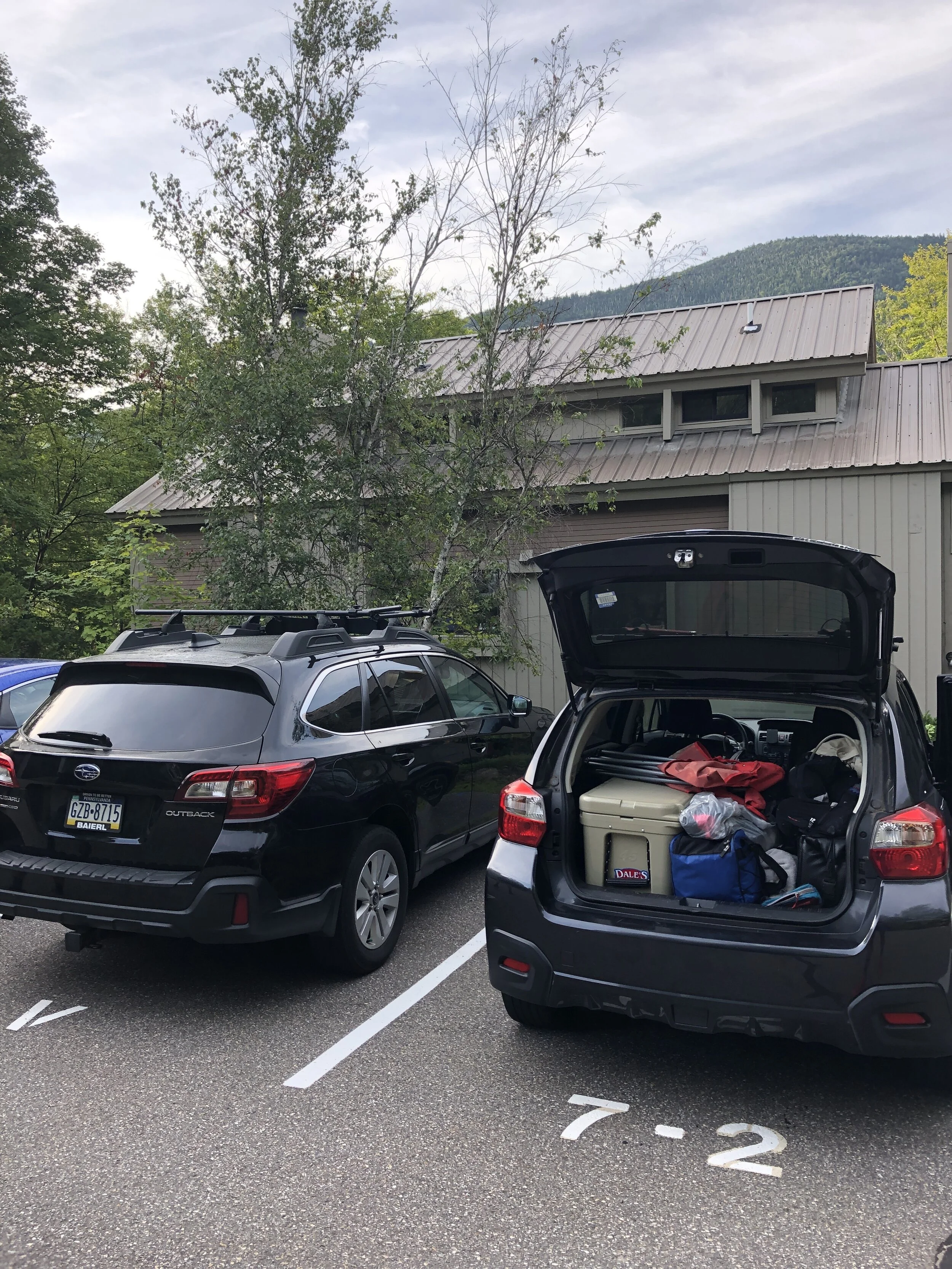
First was the journey up to New Hampshire. It was meant to be a fairly mundane day. I was feeling a little under the weather (having fainted in the morning, long story…) and was not looking forward to a long drive up to New Hampshire. I ride shared with one other up to my friend’s house in Beacon NY where we pit-stopped for lunch, burritos! They hit the spot. I was finally beginning to feel normal by the time I finished my second.
After a fairly decent drive we arrived to yet more food - despite not having run yet I was beginning to eat as if I had done a few days of ultras. Let’s call it pre-run prep. The evening was spent munching pizza, assessing the route and packing our bags. There was of course a bit of beer drunk and lots of chatter about how quickly we might be able to run the Traverse.
After the rough morning, the long drive and packing of our equipment However I was too excited to sleep, I tossed and turned through the night until my alarm finally signaled morning. I munched some cold oats and cold brew whilst watching some of the guys working on brewing the perfect batch of drip coffee before hitting the road.
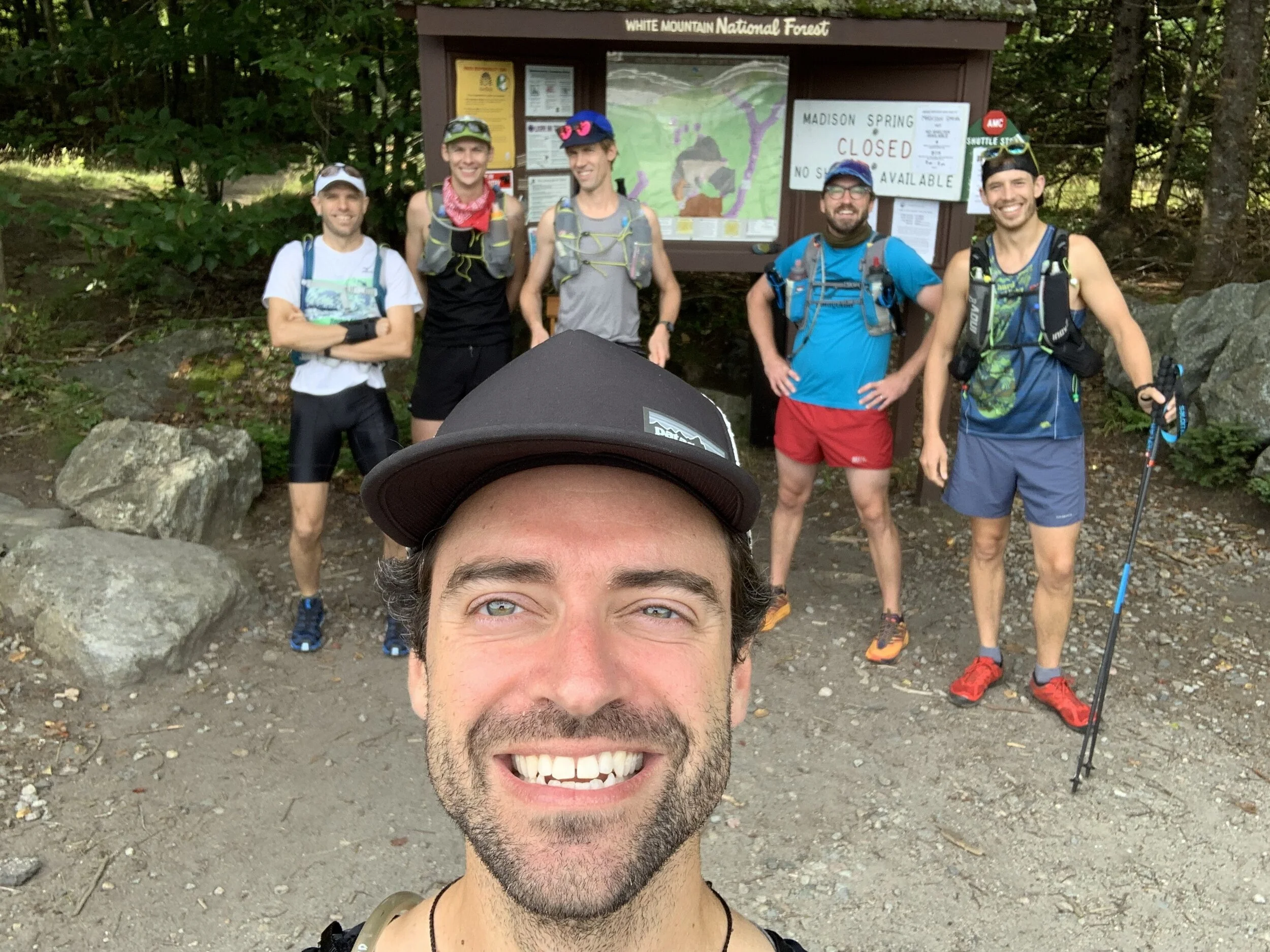
The crew
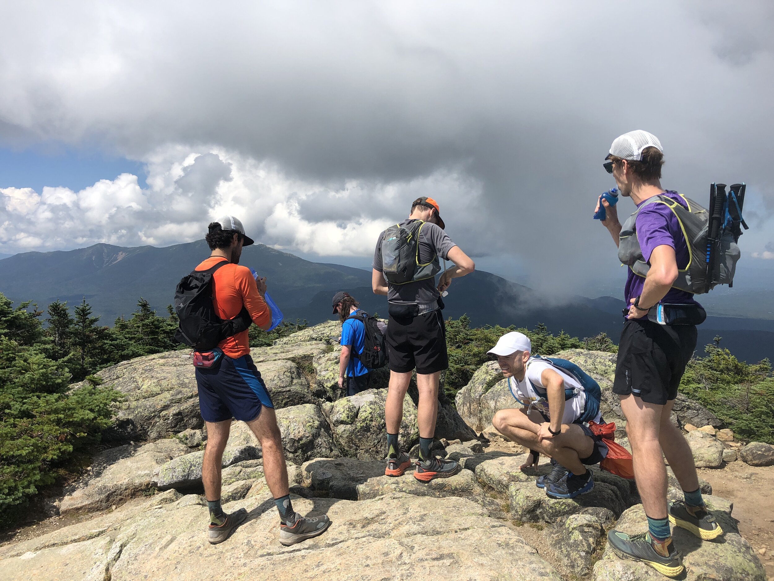
We dropped a car at the end point before heading back to the start as a group and ready to rock. A quick pee stop, a final drink, photo and it was time to hit the trail.
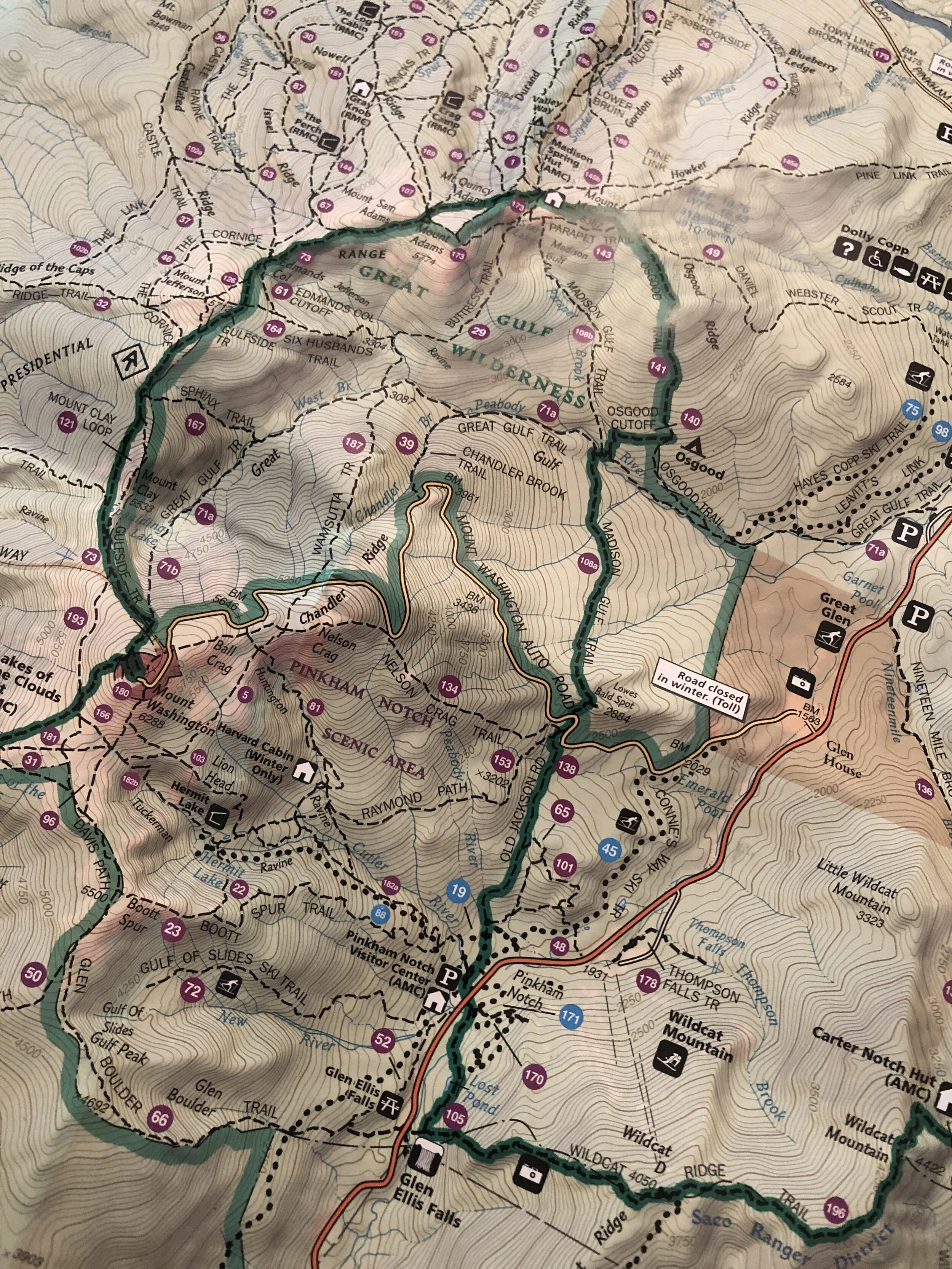
It has been a long time since I ran in a group that was not part of a race. I was envisioning our small tribe heading along the wooded trail. The trail started relatively flat and untechnical before kicking up the gears. The group soon dispersed and the poles I had taken out were also stashed away as the trail turned to more of a rock scramble heading up Mt Madison (5,367ft, 1,636m). Despite the early start and the mild temperatures I was beginning to heat up quickly. I climbed higher until I slowly made my way out of the tree line. And then it was onto a large boulder field heading directly to the summit. Hopping from boulder to boulder all the while keeping an eye on the cairns that marked the route that snaked its way up to the summit. I tried not to peek at the incredible view before reaching the top. Mt Madison down, 7 more to go! (or so I thought...)
History lesson: Mt Madison was named after James Madison, 4th US President from 1809 to 1817. According to Wiki He is hailed as the “Father of the Constitution” for his pivotal role in drafting and promoting the Constitution of the United States.
From here the route was laid out in front of us, I could see a few peaks ahead before the pinnacle of Mt Washington sitting high above all the others waiting for our arrival. I could make out one of our group just a head of me as I scrambled down. He had come up a quicker route and already made the summit before heading back down a bit to Madison Spring hut to fill up some water. I grabbed a couple of cups of water and together we headed on.
Up we climbed, munching on yet more food - breakfast number 2 or maybe 3 of the day. There wasn’t a huge amount of other people moving about on the mountains at this point allowing us to move freely along the trail.
Soon we reached the second peak of the day, Mt Adams (5,735ft, 1,748m). A quick photo and slightly less time admiring the views and on to the next peak.
History lesson: Mt Adams is named after John Adams, second US President from 1797 to 1801. John Adams was a leader of the American Revolution that achieved independence from Great Britain, and he served as the first vice-president of the US.
After the second peak I slowly edged ahead of my running buddy, trying to catch up with a few of the lads further ahead although I anticipated them being considerably further a head. I ticked off Mt Jefferson (5,659ft, 1,725m) and Mt Clay (5,525ft, 1,684m). Mt Clay was an addition to the “basic” 7 peaks of the Presidential Traverse, what can I say, these lads like a challenge! But it was Mt Washington I was looking forward to, it felt like the pinnacle of the route with everything after it being kind of downhill (or at least less of a climb).
History lesson: Mt Jefferson is named after Thomas Jefferson, third US President from 1801 to 1809. Interesting fact from the Washington Post; instead of having “former US President” inscribed on his grave he chose “Author of the Declaration of Independence, of the Statue of Virginia for religious freedom and Father of the University of Virginia”. Mt Clay is named after Henry Clay, 19th century senator and US Secretary of State from Kentucky - not a US President. But an official peak of the Presidential Traverse nonetheless.
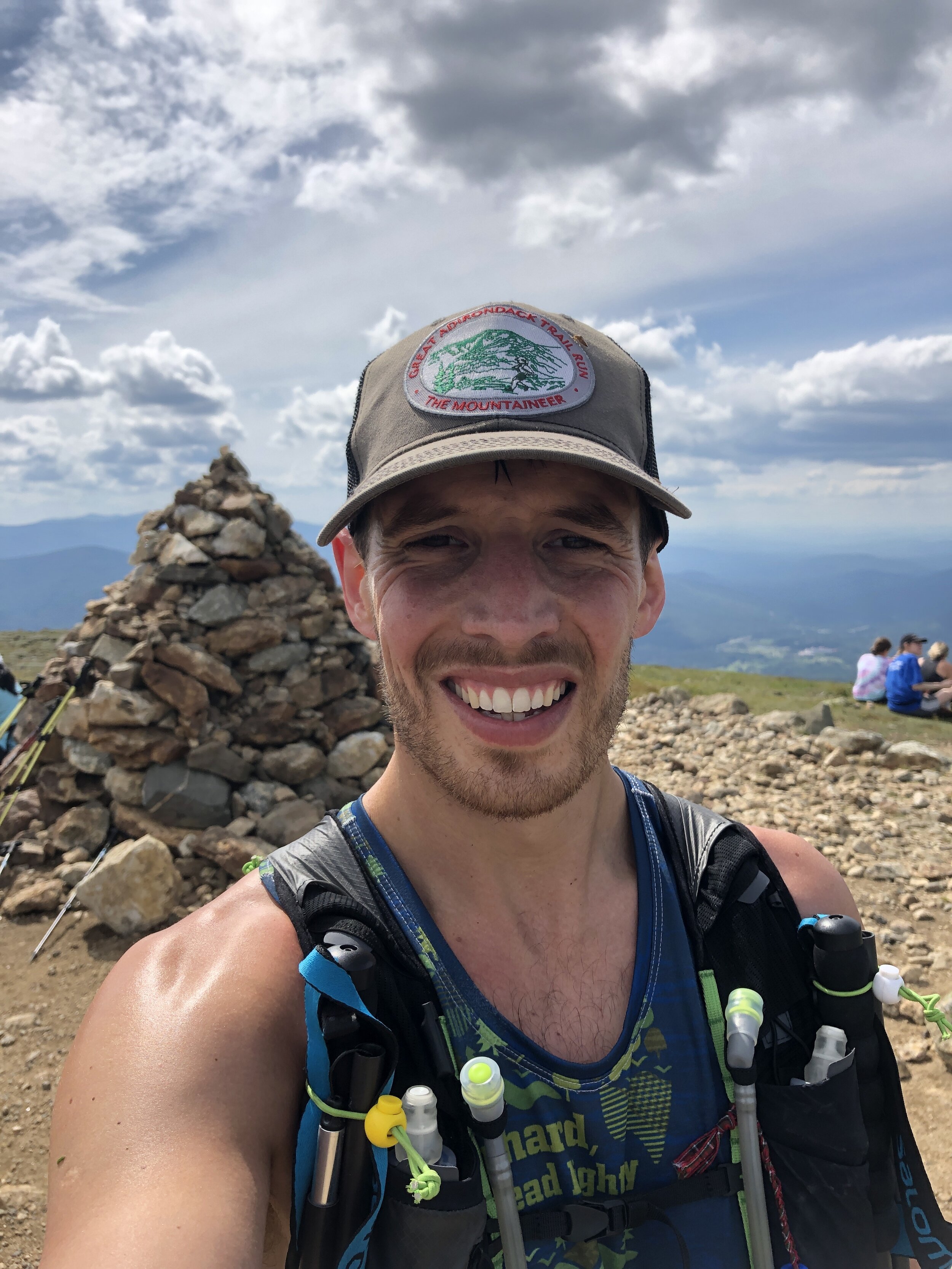

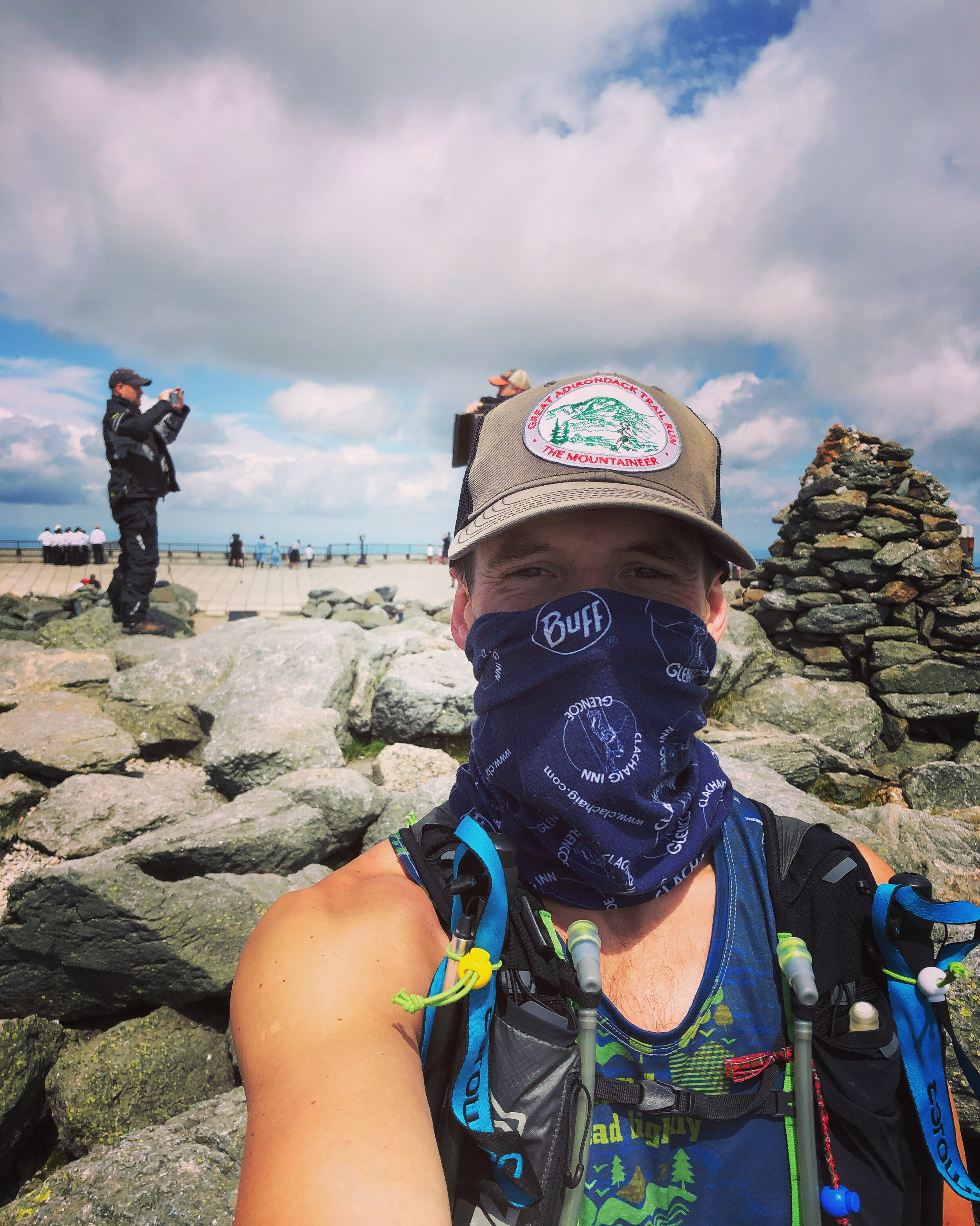
In front of us we could make out the line of cars driving to the summit and the cog train. The track was well trodden allowing for some good progress prior to a small boulder field near the summit. Arriving at the top we joined crowds of people, motorbikes, cars and a queue to stand by the sign marking the peak of Mt Washington (6,288ft, 1,917m).
History lesson: Mt Washington is named after George Washington the first US President 1789-1797. Random fact from The History Channel; “Washington wasn’t just America’s first president, he was also its first mule breeder.
I lost the Shaun amongst the crowds on Mt Washington so I headed on down as quickly as possible. With my buff pulled over my face (thanks COVID) I ran down the perfectly laid stone path towards the "Lakes of the Clouds" hut to resupply. The hut is operated by the Appalachian Mountain Club - thanks guys! A quick water stop and I was on my way.
I was up and over Mt Monroe (5,372ft, 1,637m), the 6th peak of the day, by about 2pm.
History lesson: Mt Monroe is named after James Monroe, fifth US President from 1817 to 1825. When Monroe was James Madison’s secretary of state he bought Florida from Spain for about $5 million.
I headed onwards to Mt Eisenhower (4,760ft, 1,450m), my 7th peak, I was pretty sure I only had one left. Looking at the route I had plotted on my phone there appeared to be two more. The rough and technical terrain was starting to take its toll.
History lesson: Mt Eisenhower is named after Dwight Eisenhower, 34th US President from 1953 to 1961. Eisenhower was apparently the first US President to ride in a helicopter!
Ahead of me I could see a little peak, Mt Pierce (4,291ft, 1,308m) sitting above the trees as I headed along the path. I reached the top knackered and and couldn’t quite believe that there was still one peak to go.
History Lesson: Mt Pierce is named after Franklin Pierce, 14th US President from 1853 to 1857. Wiki notes; Pierce is regularly ranked as one of the worst US Presidents - hopefully in part due to his alienation of anti-slavery groups and enforcement of the Fugitive Slave Act.
Then onto my final peak and 9th, Mt Jackson.
History Lesson: This peak wasn’t named after former US President Andrew Jackson who was the seventh US President from 1829 to 1837. It was instead named after Charles Thomas Jackson who served as State Geologist for New Hampshire, Maine and Rhode Island in the late 19th century. Charles Thomas Jackson is remembered by many for his involvement in a series of bitter conflicts that followed a pattern; a discovery would be announced by someone, Jackson would then claim prior discovery, and a controversy would ensue. Among the conflicts were the discover of guncotton, the telegraph, the digestive action of the stomach and the anesthetic effects of ether.
In short Jackson was a fraud (both the mountain and apparently Charles) - this mountain tricked me into believing it was a former US President when I was at my most exhausted.
A few hikers at the top told me there was about a 30 - 45 min trip down to the parking lot. The initial part was straight down a rocky scrambly route. It felt like a fairly brutal section to finish on. Slowly but surely I started to hear the road up ahead and popped out of the trees all of a sudden to see the rest of the group waiting. It turned out that I added a decent amount of distance to the Presi traverse.
I was delighted to have completed the route and to be finished as I washed down my run with a cold beer and some pickles.